
Close

Keep your projects on track and stakeholders informed with Documentation & Progress Tracking services by Skyglimps Technologies. Our drone-powered inspection and monitoring solutions provide comprehensive, reliable digital records and real-time updates to ensure transparency, accuracy, and timely decision-making throughout the project lifecycle. From construction to infrastructure maintenance, our precise documentation capabilities help drive efficiency and reduce risks.
Documentation & progress tracking involves capturing detailed aerial imagery, 3D models, and sensor data at regular intervals to visually record the current status of projects, assets, or sites. This information forms a verifiable timeline of development, enabling teams to monitor work progress, assess compliance, and identify potential issues early. With drone-enabled solutions, this process is faster, safer, and far more detailed than traditional manual methods.
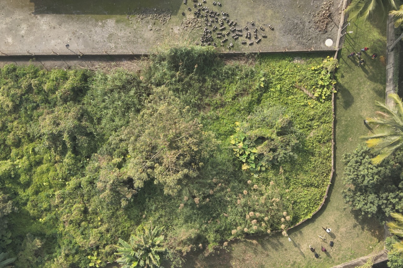
We establish a digital baseline with high-resolution aerial photos, 3D point clouds, and GIS data at project start.
Scheduled drone flights collect updated imagery and data throughout the project, tailored to your timeline.
Advanced software produces orthomosaics, 3D models, and measurement reports providing visual insights on progress and quality.
Clear, interactive progress reports and dashboards allow easy tracking for project managers, clients, and contractors.
Visual and data records provide trustworthy evidence of progress and quality compliance.
Timely insights help proactively address delays, defects, or resource issues, minimizing costly disruptions.
Precise site data supports volume calculations, earthwork tracking, and change detection.
Remote data collection reduces site visits, improving safety while accelerating monitoring efforts.
Find quick answers about Skyglimps drone-based documentation, project progress tracking, aerial site records, 3D models, progress dashboards, and visual reporting.
Drone-based Documentation & Progress Tracking is the process of capturing aerial images, 3D models, sensor data, and site records at regular intervals to monitor the progress of a project or asset. Skyglimps uses drone-powered monitoring to create a reliable visual timeline that helps project teams track development, verify work progress, identify issues early, and keep stakeholders informed.
Skyglimps begins with an initial site survey and baseline capture using high-resolution aerial photos, 3D point clouds, and GIS data. After that, scheduled drone flights are conducted throughout the project timeline to collect updated visuals and site data. This information is processed into orthomosaics, 3D models, measurement reports, dashboards, and progress visualizations for easier project review.
Documentation & Progress Tracking is useful for construction projects, infrastructure development, industrial sites, real estate projects, road and bridge works, mining operations, utilities, and maintenance activities. It is especially valuable for projects that require regular progress updates, compliance records, contractor coordination, quality checks, and transparent reporting for clients or stakeholders.
Depending on the project scope, Skyglimps can provide aerial imagery, baseline site records, orthomosaic maps, 3D models, 3D point clouds, GIS data, measurement reports, volume calculations, earthwork tracking, change detection reports, progress dashboards, and visual documentation. These deliverables help teams compare site conditions over time and make better project decisions.
Drones make project documentation faster, safer, and more detailed than many traditional manual methods. They reduce frequent manual site visits, improve visibility across large or difficult-to-access areas, provide accurate measurement data, support quality and compliance checks, and help teams detect delays, defects, or resource issues before they become costly problems.
Explore our related services, including 2D Surveying & Mapping for accurate site measurement and planning, 3D LiDAR & GIS Solutions for detailed spatial intelligence, Thermal & RGB Inspections for asset and infrastructure reviews, Live Aerial Surveillance for real-time site visibility, and FPV Videography for dynamic aerial documentation and visual storytelling.