
Close

The Power and Energy Utilities sector faces critical challenges in 2025, including aging infrastructure, increasing energy demand, grid modernization needs, and tightening regulatory requirements. Aging power plants, transmission lines, and substations require continuous monitoring to prevent costly failures. The growing demand from digital infrastructure, electric vehicles, and smart cities further stresses the grid. Utilities also grapple with integrating renewable energy, while maintaining reliable and safe operations amidst rising costs and environmental mandates.
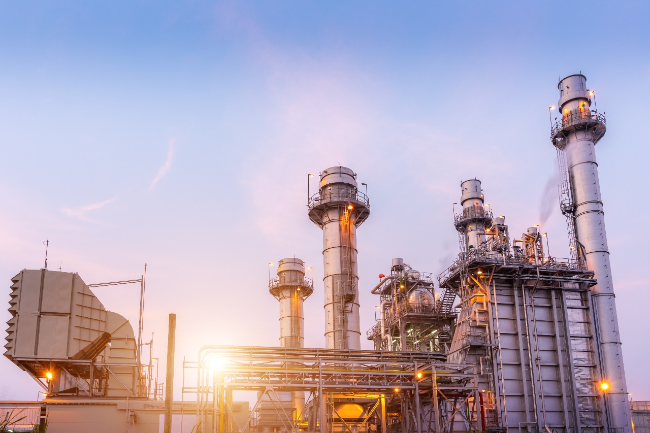
Old assets require frequent inspections and maintenance to avoid outages.
Managing distributed energy resources and renewable integration is complex.
Inspecting high-voltage sites is hazardous and logistically difficult.
Traditional methods are time-consuming, expensive, and often provide incomplete data.
Utilities must balance regulatory obligations with operational expenses.
Our drones quickly inspect transmission towers, substations, and power plants using high-resolution cameras and thermal sensors. This approach detects faults such as corrosion, overheating, and vegetation intrusion early minimizing downtime and improving safety.
Live aerial surveillance and thermal imaging enable utilities to monitor their grid in real time, identifying hotspots and energy losses before they cause failures.
Drones facilitate the efficient inspection and maintenance of solar panels and wind turbines, accelerating the sector’s green energy transition.
Automated drone surveys reduce reliance on manual and helicopter inspections, cutting costs while providing precise georeferenced data for analysis.
Combining drone data with AI-driven analytics helps predict equipment failures proactively, boosting reliability and safeguarding workers by minimizing hazardous exposures.
By leveraging Skyglimps’ advanced drone technology and analytics, power utilities can modernize operations, increase efficiency, enhance safety, and meet growing energy demands sustainably and cost-effectively.
Find quick answers about Skyglimps drone inspections for power and energy utilities, transmission lines, substations, solar panels, wind turbines, thermal imaging, and predictive maintenance.
Drones help power and energy utility companies inspect transmission lines, substations, power plants, solar panels, wind turbines, and other critical assets more efficiently. Skyglimps uses high-resolution cameras, thermal sensors, live aerial surveillance, and georeferenced data to help utility teams detect faults early, improve safety, reduce inspection time, and support better maintenance planning.
Skyglimps can support drone inspections for transmission towers, power lines, substations, power plants, solar farms, wind turbines, and surrounding utility corridors. These inspections help identify asset damage, overheating, corrosion, vegetation intrusion, structural risks, and other issues that may affect reliability, safety, and operational performance.
Thermal & RGB drone inspections help utility teams identify both visible and hidden asset issues. RGB imagery captures clear visual evidence of physical damage, corrosion, loose components, and vegetation interference, while thermal imaging helps detect hotspots, overheating equipment, energy losses, and abnormal heat patterns before they lead to breakdowns or outages.
Yes. Drone inspections reduce the need for workers to physically access high-voltage zones, tall towers, remote corridors, and hazardous utility infrastructure. By capturing aerial inspection data from a safe distance, drones help improve worker safety, reduce downtime, and make inspections faster, especially across large or difficult-to-access power and energy sites.
Skyglimps supports predictive maintenance by combining drone-captured visual data, thermal imagery, georeferenced mapping, and analytics to identify early warning signs of asset failure. This allows utility teams to plan maintenance before faults become serious, reduce unplanned outages, improve grid reliability, and manage infrastructure more cost-effectively.
Explore our related services, including Thermal & RGB Inspections for identifying heat anomalies, faults, and visual issues in power assets, 3D LiDAR & GIS Solutions for detailed utility corridor mapping and infrastructure modelling, 2D Surveying & Mapping for accurate aerial data capture of sites and transmission areas, and Documentation & Progress Tracking for maintaining clear visual records of energy projects, maintenance activities, and infrastructure development.