
Close

Unlock clear and accurate insights into your land, property, or infrastructure with our 2D surveying and mapping services at Skyglimps Technologies. We create detailed and reliable 2D plans that are designed to support a wide range of industries including real estate, engineering, agriculture, and environmental projects. Our skilled team uses advanced GPS, CAD, and GIS tools to collect and process spatial data you can count on. From clear site assessments to planning and development, we help you make confident decisions backed by accurate information.
2D surveying is the process of collecting accurate geographical measurements and representing them in a flat, two-dimensional format. This mapping provides a visual plan such as topographic maps, cadastral plots, and site layouts, showing property boundaries, landscape features, and infrastructure elements essential for effective planning and development.
These surveys are fundamental for project approvals, site analysis, and land management decisions, helping stakeholders minimize risks and optimize resources.
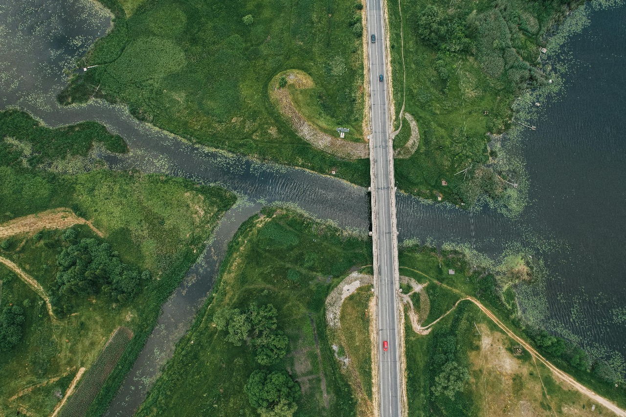
We use drone technology to capture high-resolution imagery and spatial data quickly and efficiently, transforming traditional surveying practices.
Advanced software processes images into accurate 2D orthomosaics, topographic maps, and site plans.
Finished digital maps are delivered promptly in multiple formats compatible with CAD, GIS or any design software, ensuring seamless integration with project workflows.
High-definition mapping using the latest geo-survey tools including DGPS, ensuring reliable data for all project stages.
Servicing railways, agriculture, transportation, engineering, oil and gas, utilities, and more, with custom map layers as needed.
Our workflows adhere to industry standards, offering fast turnaround and exceptional customer satisfaction.
Seamlessly integrates with 3D modeling and GIS for advanced spatial intelligence and future-proof project planning.
Find quick answers about Skyglimps 2D drone surveying, aerial mapping, site documentation, project planning, and mapping deliverables.
2D drone surveying and mapping is the process of capturing aerial data of land, property, or infrastructure sites and converting it into accurate visual maps and layouts. Skyglimps uses drone-based data capture to help clients understand site boundaries, terrain conditions, existing structures, and project areas with better clarity.
Skyglimps can provide deliverables such as orthomosaic maps, topographic maps, site layouts, cadastral-style maps, aerial images, and GIS-ready mapping data depending on the project requirement. These outputs help engineers, planners, landowners, developers, and project teams review site conditions and make informed decisions.
2D surveying and mapping is useful for infrastructure projects, construction sites, land development, real estate planning, urban planning, irrigation projects, industrial sites, mining areas, agriculture, and government projects. Any project that requires accurate aerial mapping, site measurement, or visual documentation can benefit from this service.
Drone mapping helps project teams access updated site visuals, identify land features, measure areas, monitor changes, and review site progress more efficiently. It reduces dependency on only ground-level observation and gives decision-makers a clearer top-view understanding of the complete project area.
Yes. Skyglimps 2D drone mapping can be used for land documentation, infrastructure mapping, site monitoring, project reporting, planning support, and visual records. The final output can support internal review, design coordination, progress tracking, and stakeholder presentations based on the project scope.
Explore our related services, including 3D LiDAR & GIS Solutions for advanced spatial data and terrain modelling, Thermal & RGB Inspections for visual and heat-based asset assessment, Live Aerial Surveillance for real-time site monitoring, FPV Videography for immersive aerial visuals, and Documentation & Progress Tracking for capturing project updates, milestones, and site development over time.