
Close

Farming and forestry face many challenges including monitoring large, diverse areas, managing resources efficiently, preventing crop diseases and pest outbreaks, and ensuring sustainable land use. Traditional methods can be slow, labor-intensive, and often provide incomplete information.
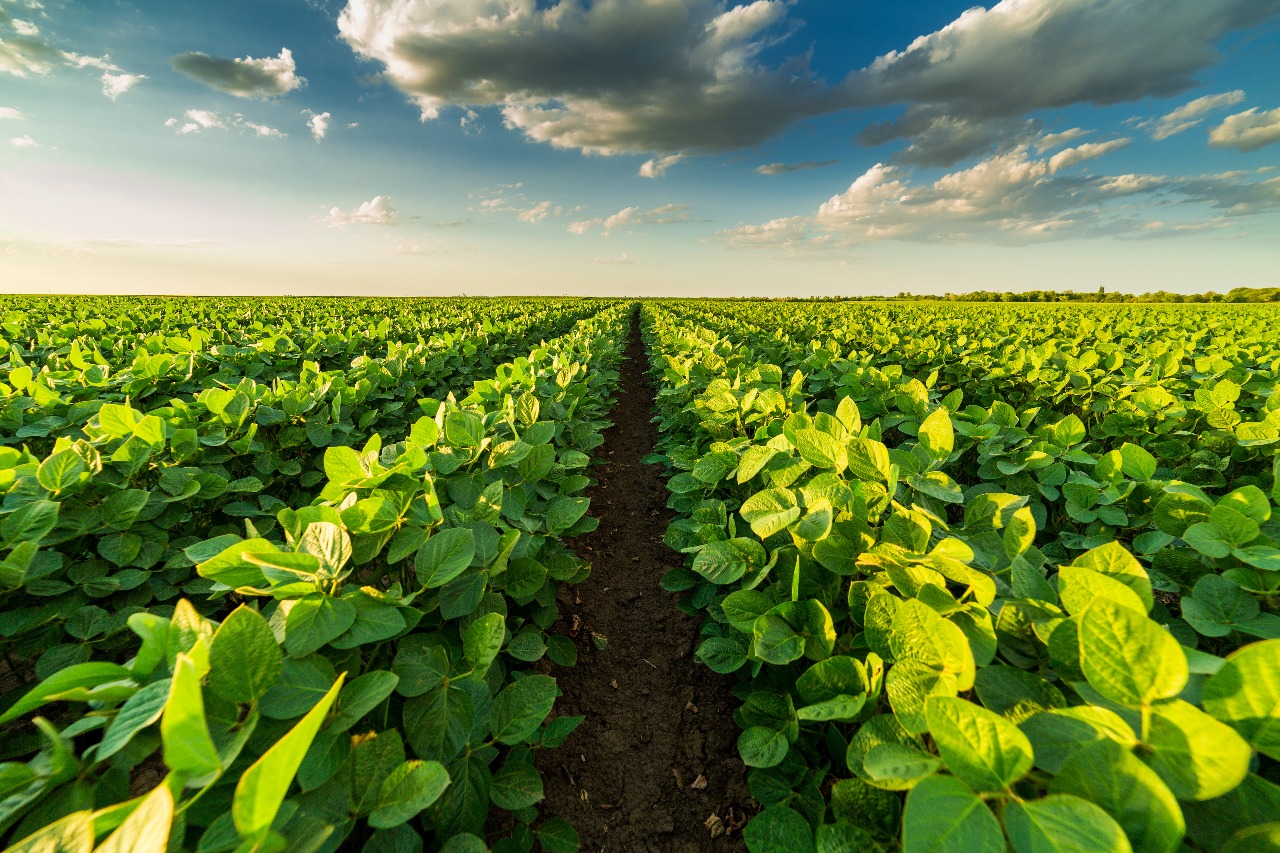
Farms and forests cover vast, often difficult-to-access terrain.
Detecting plant stress and pests early is challenging at scale.
Efficient water and fertilizer use is critical but hard to measure precisely.
Manual scouting is slow and often reactive instead of proactive.
Monitoring forest health and preventing illegal logging requires frequent surveillance.
Drones quickly fly over large agricultural fields or forest areas capturing high-resolution images and multispectral data. This lets farmers and forest managers see plant health, water stress, and growth patterns in detail.
Using specialized cameras, drones detect subtle changes in vegetation caused by pests, diseases, or nutrient deficiencies before they are visible to the naked eye. This enables early interventions to protect yields.
Thermal and multispectral drone data help optimize irrigation and fertilizer application by identifying exactly where crops need water or nutrients, reducing waste and costs and improving sustainability.
Drones monitor forest density, tree health, and changes over time, helping to spot illegal logging, forest fires, or environmental damage quickly and accurately.
Automating monitoring with drones cuts scouting time, lowers labor costs, and provides actionable data to make informed decisions and improve yields.
Skyglimps’ drone technologies provide farmers and forest managers with faster, safer, and more precise ways to care for their land. By turning complex data into clear insights, our solutions support healthier crops, more sustainable forestry, and improved agricultural productivity.
Find quick answers about Skyglimps drone solutions for agriculture and forestry, crop health monitoring, precision farming, multispectral data, forest monitoring, conservation, and GIS-ready outputs.
Drones help farmers and forest managers monitor large areas quickly, safely, and accurately. Skyglimps uses drone-based aerial imaging, thermal data, multispectral insights, and mapping solutions to assess crop health, water stress, vegetation density, forest condition, and land-use changes, helping teams make faster and more informed decisions.
Yes. Drone-based agriculture monitoring can identify early signs of crop stress, pest activity, disease, and nutrient deficiency before they become clearly visible from the ground. Skyglimps uses specialized drone sensors and aerial data analysis to help farmers take timely action, reduce crop loss, and protect yield quality.
Drones support precision agriculture by showing exactly where crops need attention. Skyglimps can use aerial, thermal, and multispectral data to identify water stress, poor growth areas, nutrient gaps, and irrigation issues, helping farmers optimize water, fertilizer, labour, and field-management resources more efficiently.
Drones can be used to monitor forest density, tree health, land changes, illegal logging, fire-prone areas, environmental damage, and conservation zones. Skyglimps drone solutions help forestry teams inspect difficult-to-access areas more frequently and generate useful visual records for forest protection, planning, and sustainability reporting.
Depending on the project scope, Skyglimps can provide high-resolution aerial images, crop health insights, vegetation maps, thermal and multispectral data, field monitoring reports, forest condition assessments, change detection visuals, GIS-ready datasets, and documentation for land-management decisions. These outputs help farmers, agribusinesses, forestry departments, and conservation teams improve productivity and sustainability.
Explore our related services, including 2D Surveying & Mapping for accurate farm, plantation, forest, and land data capture, 3D LiDAR & GIS Solutions for terrain modelling, canopy analysis, and resource planning, Live Aerial Surveillance for real-time monitoring of crop areas, forest zones, and field conditions, and Documentation & Progress Tracking for maintaining clear visual records of agricultural activities, forestry projects, land changes, and development milestones.