
Close

Urban areas are expanding rapidly, creating complex challenges for planners and city managers. Growing populations, infrastructure demands, environmental concerns, and the need for sustainable development require innovative tools to plan, monitor, and manage urban growth effectively.
Traditional surveys and satellite imagery often provide outdated or incomplete information.
Managing roads, utilities, green spaces, and transport requires accurate, up-to-date spatial data.
Efficiently tracking urban sprawl, land use changes, and construction is labor-intensive
Cities require fast, reliable data collection for effective response and rebuilding after disasters
Integrating data among multiple agencies and community groups is often fragmented.
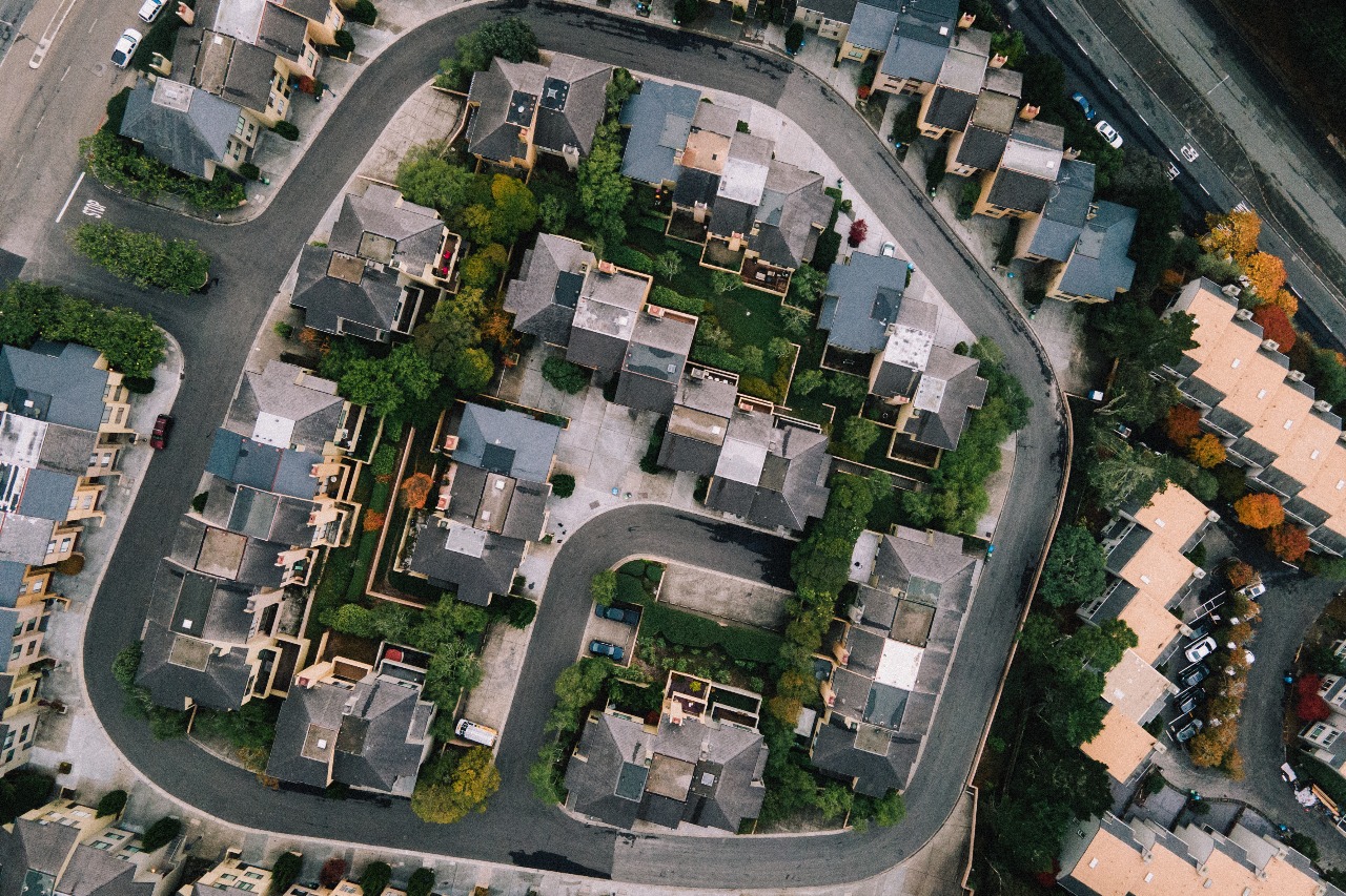
Skyglimps uses drones with high-resolution RGB, thermal, and LiDAR sensors to generate precise 2D maps and 3D models. This real-time spatial data is invaluable for land use classification, zoning, infrastructure planning, and monitoring urban growth, ensuring city plans are based on up-to-date information.
Drones inspect roads, bridges, power lines, and urban greenery fast and safely, detecting maintenance needs early to prevent costly failures. Thermal and multispectral imaging help monitor vegetation health and environmental quality, contributing to climate-resilient urban ecosystems.
Our drone solutions enable planners to forecast future growth, identify underutilized spaces, and optimize land development. Rapid aerial surveys accelerate project timelines, reduce costs, and enhance public engagement with compelling visualizations.
Drones provide critical aerial views during natural disasters, speeding up damage assessment and relief efforts. This capability improves emergency response and supports resilient urban infrastructures.
By integrating Skyglimps’ advanced drone technology, sensors, and AI analytics, urban planners and smart city developers gain deeper insights, faster decision-making abilities, and more sustainable outcomes. Our solutions empower cities to grow smarter, safer, and greener.
Find quick answers about Skyglimps drone solutions for urban planning, smart city development, aerial mapping, infrastructure monitoring, disaster response, LiDAR data, and GIS-ready outputs.
Drones help urban planners and smart city teams collect accurate, up-to-date aerial data for land-use planning, zoning, infrastructure development, and city monitoring. Skyglimps uses high-resolution RGB, thermal, and LiDAR sensors to generate 2D maps, 3D models, and spatial datasets that support faster and better-informed urban decision-making.
Drone mapping is useful for fast-growing cities because it helps track construction activity, land-use changes, urban sprawl, road networks, green spaces, and infrastructure development. With updated aerial data, planners can identify underutilized areas, monitor expansion, and make more accurate decisions for sustainable city growth.
Skyglimps can support aerial monitoring of roads, bridges, utilities, power lines, construction zones, public spaces, transport corridors, and urban greenery. Drone-based inspections help identify maintenance needs, safety concerns, encroachments, vegetation issues, and infrastructure changes faster than many traditional ground-based methods.
Yes. Drones can provide fast aerial visibility during floods, storms, fires, landslides, and other emergency situations. Skyglimps drone solutions can support damage assessment, rescue planning, relief coordination, rebuilding analysis, and post-disaster documentation by giving city teams a clearer view of affected areas.
Depending on the project scope, Skyglimps can provide 2D maps, 3D models, LiDAR point clouds, thermal imagery, GIS-ready datasets, land-use visuals, infrastructure monitoring reports, change detection data, and project documentation. These outputs help government bodies, urban planners, developers, and smart city teams collaborate with reliable spatial information.
Explore our related services, including 2D Surveying & Mapping for accurate land, road, and infrastructure data capture, Documentation & Progress Tracking for monitoring urban development projects over time, Thermal & RGB Inspections for assessing buildings, utilities, and city infrastructure, and Live Aerial Surveillance for real-time monitoring of construction sites, public spaces, and smart city operations.