
Close

Mining and infrastructure projects face tough challenges every day. Difficult terrain, safety risks, high costs, and tight project deadlines make it hard to get accurate information quickly and keep work on track. Traditional inspection and survey methods can be slow, expensive, and sometimes dangerous.
Mining sites and infrastructure projects have hazardous environments where manual inspections put workers at risk.
Conventional surveying and monitoring can cause project delays.
Helicopter surveys and ground inspections cost a lot in time and money.
Mining pits, quarries, bridges, and highways are often difficult to access or cover completely.
Poor data quality affects planning, Earthworks calculations, and progress tracking.
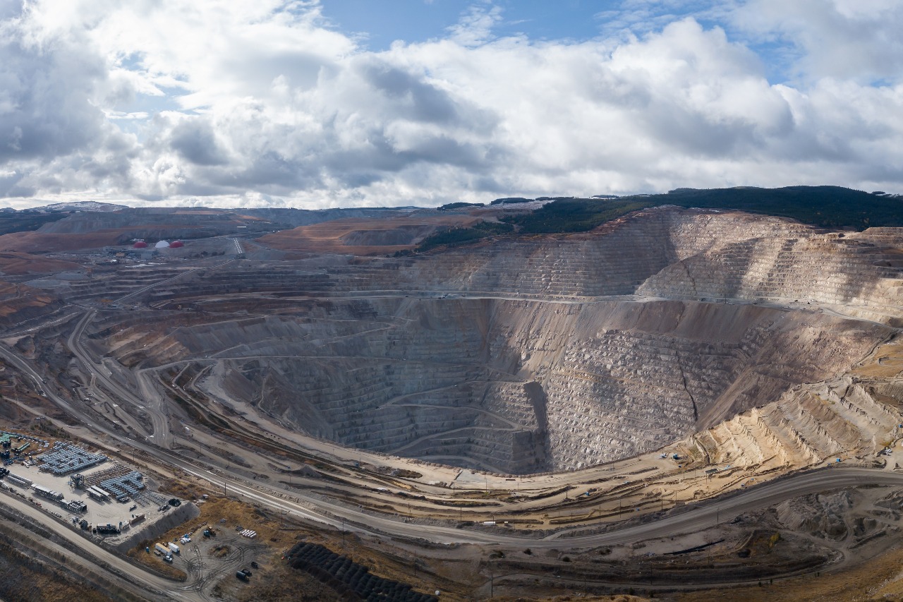
Drones quickly gather aerial images and videos of mining sites or infrastructure like roads, bridges, and buildings. This reduces the need for workers to enter risky areas, improving safety and lowering insurance costs.
Using drones, companies get detailed maps and 3D models of sites in a fraction of the time of traditional methods. This helps track progress, calculate volumes of material, and plan next steps more accurately.
Drone surveys cut down on expensive helicopter flights and manual labor. They can cover large areas quickly, increasing productivity and reducing project costs.
With live video streaming and regular drone flights, managers can monitor site conditions and work progress without delays. Issues and changes can be spotted early, so fixes happen faster.
Skyglimps combines reliable drones with easy-to-use software to deliver practical solutions for the mining and infrastructure sectors. Our technology helps keep projects safe, on schedule, and within budget making management simpler and more effective.
Find quick answers about Skyglimps drone solutions for mining and infrastructure projects, site surveys, stockpile volume calculations, earthwork tracking, safety inspections, and project monitoring.
Drones help mining and infrastructure projects capture accurate aerial data quickly, safely, and cost-effectively. Skyglimps uses drone-based surveys, aerial imagery, 3D mapping, and live monitoring to help teams inspect sites, track progress, calculate material volumes, review terrain conditions, and make faster project decisions.
Skyglimps can support drone surveys for mining pits, quarries, stockyards, roads, bridges, highways, buildings, construction sites, industrial zones, and large infrastructure corridors. Drone surveys are especially useful for locations that are difficult, unsafe, or time-consuming to access through traditional ground inspections.
Yes. Drone surveys can be used to calculate stockpile volumes, earthwork quantities, cut-and-fill measurements, excavation progress, and material movement across mining and infrastructure sites. Skyglimps can process aerial survey data into maps, 3D models, and measurement reports that help teams improve planning, billing, and resource management.
Drone inspections reduce the need for workers to physically enter hazardous zones such as mining pits, unstable terrain, high structures, bridges, and active construction areas. By capturing aerial images, videos, and site data from a safe distance, drones help improve worker safety while still providing detailed visibility of site conditions.
Depending on the project scope, Skyglimps can provide aerial images, site videos, orthomosaic maps, 3D models, terrain maps, stockpile volume reports, earthwork calculation reports, progress tracking visuals, live monitoring feeds, and site documentation. These outputs help project managers, engineers, contractors, and asset owners monitor work more accurately and keep projects on schedule.