
Close
This program focuses on how drones are used to capture spatial data for mapping, surveying, and inspection.
The course covers:
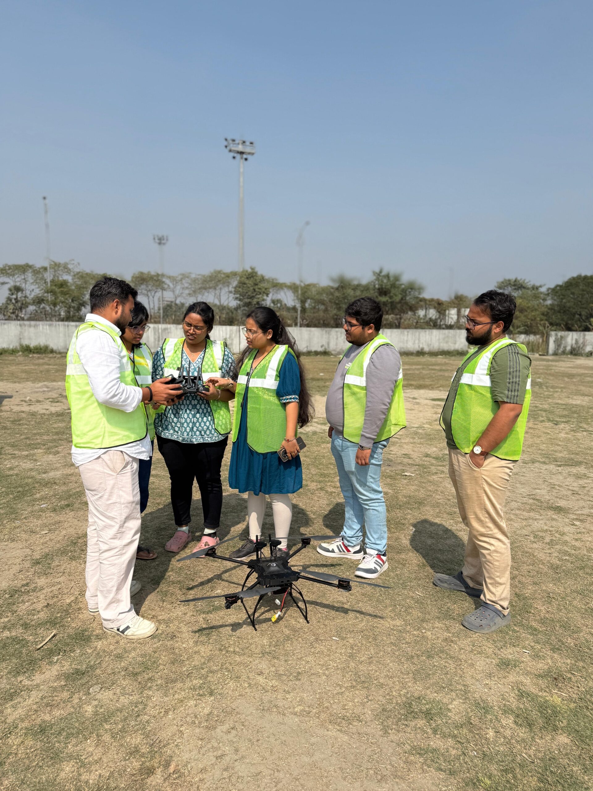
Participants also get practical exposure to mapping workflows and field equipment used in professional drone surveys.
5 to 7 days
New Town, Kolkata
Fees for Individuals: Rs. 20,000 + GST
Fees for teams & groups: Contact Us
This course is suitable for civil engineers, surveyors, GIS professionals, and drone pilots who want to enter the mapping and infrastructure sector.
Find quick answers about the Skyglimps Drone Mapping & Surveying Course, survey-grade drone operations, GIS workflows, mission planning, practical exposure, training duration, location, and fees.
The Drone Mapping & Surveying Course by Skyglimps is a professional training program focused on survey-grade drone operations. The course teaches how drones are used to capture spatial data for mapping, surveying, inspection, infrastructure projects, and GIS-based workflows.
This course is suitable for civil engineers, land surveyors, GIS professionals, drone pilots, infrastructure professionals, and students who want to enter the drone mapping and surveying sector. It is also useful for professionals who want to understand how drone data is collected, processed, and applied in real-world mapping projects.
Participants will learn mission planning, flight strategies, data capture principles, ground control points, coordinate systems, accuracy requirements, Indian drone regulations for survey operations, camera and sensor basics, RTK drone overview, and how mapping projects are planned and executed professionally.
Yes. The course includes practical exposure to mapping workflows and field equipment used in professional drone surveys. This helps participants understand how survey-grade drone projects are planned, captured, and executed beyond classroom theory.
The Drone Mapping & Surveying Course is conducted over 5 to 7 days in New Town, Kolkata. The fee for individual participants is ₹20,000 + GST, while pricing for teams and groups is available on request.