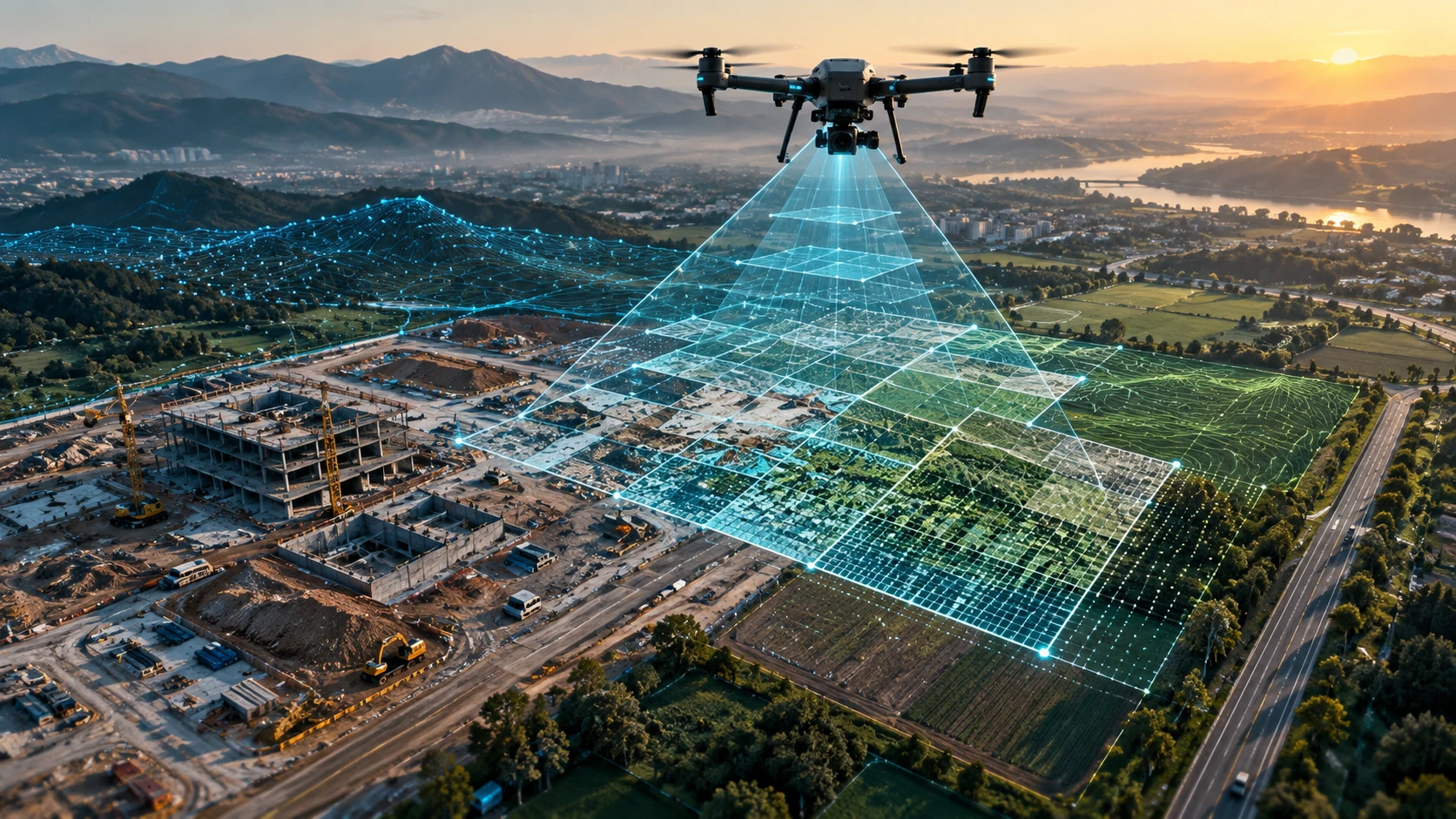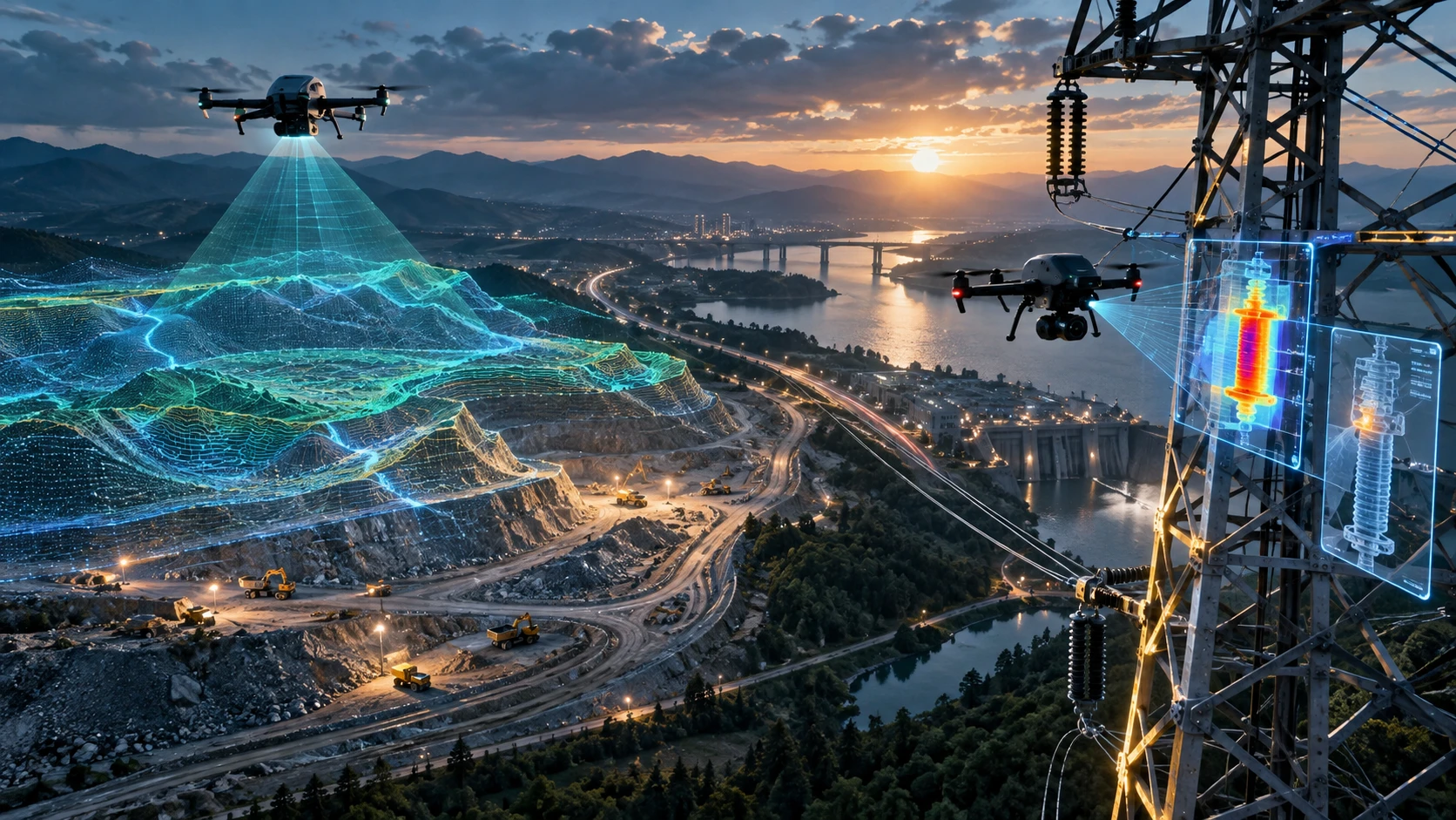
Drone mapping vs satellite imagery is an important comparison for project teams that need reliable site-level data. Both methods capture information from above, but they are not designed for the same purpose. Satellite imagery is useful for large-area observation, regional monitoring, environmental analysis, and broad change detection. Drone mapping is usually better when a project needs detailed, recent, site-specific data for planning, measurement, reporting, or construction decisions.
For construction sites, mining areas, real estate projects, roads, canals, industrial sites, agricultural fields, and infrastructure corridors, the choice depends on the final output. If the team needs a quick regional view, satellite imagery may be enough. If the team needs orthomosaic maps, terrain models, contours, volume reports, or current site documentation, drone mapping is often the stronger option.
This guide explains where drone mapping works better, where satellite imagery is useful, and how clients can choose the right method for site-level data.
What is drone mapping?
Drone mapping is the process of capturing aerial images or sensor data from a drone and processing them into maps, models, measurements, and project-ready deliverables. It is used when teams need high-detail, site-specific spatial data.
Drone mapping can produce:
- Orthomosaic maps
- Aerial images
- Site layouts
- Digital Elevation Models
- Digital Surface Models
- Contour maps
- Point clouds
- 3D models
- Cross-sections
- Volume reports
- GIS-ready files
- CAD-ready outputs
- Project progress reports
Skyglimps Technologies LLP provides 2D Surveying & Mapping for organisations that need aerial mapping, site documentation, and survey-ready visual data for project planning and monitoring.
What is satellite imagery?
Satellite imagery is image or sensor data captured from satellites orbiting the Earth. It is useful for observing large areas, tracking broad land-use changes, monitoring vegetation, reviewing water bodies, and studying regional conditions over time.
Satellite imagery can support:
- Regional land-use analysis
- Agriculture monitoring
- Forest and vegetation review
- Flood and disaster assessment
- Urban growth tracking
- Environmental monitoring
- Large-area change detection
- Pre-project site screening
- Remote-area observation
Satellite imagery is valuable because it can cover very large areas without sending a field team to the site. Many public satellite datasets also provide repeated observations over time.
However, satellite imagery may not always provide the level of detail, timing, cloud-free view, or measurement-ready output required for site-level project work.
What is the main difference between drone mapping and satellite imagery?
The main difference is that drone mapping captures project-specific data at low altitude, while satellite imagery captures broader Earth observation data from space. Drone mapping is usually more detailed. Satellite imagery is usually better for large-scale coverage.
A practical comparison:
| Factor | Drone mapping | Satellite imagery |
|---|---|---|
| Capture source | Drone flying over the site | Satellite orbiting Earth |
| Best for | Site-level detail and project deliverables | Regional view and broad monitoring |
| Update control | Client can schedule the flight | Depends on satellite revisit and availability |
| Detail level | High site-level detail | Varies by satellite resolution |
| Cloud impact | Can be scheduled around weather | Optical satellite imagery can be affected by clouds |
| Deliverables | Orthomosaic, DEM, contours, volumes, GIS/CAD files | Imagery, spectral data, regional change layers |
| Field access | Requires site access and permissions | Often no site visit needed |
| Best use case | Construction, mining, roads, canals, real estate, surveys | Agriculture, environment, regional monitoring, screening |
The best method depends on whether the client needs a broad view or a detailed project dataset.
Which is better for site-level data?
Drone mapping is usually better for site-level data because it can capture current, high-detail, project-specific imagery and convert it into usable survey deliverables. It is especially useful when the project area is small to medium, active, changing, or measurement-focused.
Drone mapping is stronger for:
- Construction progress tracking
- Land development planning
- Mining volume calculation
- Road and canal mapping
- Real estate site documentation
- Infrastructure corridor review
- Irrigation project mapping
- Industrial site documentation
- Stockpile and cut-fill analysis
- Detailed orthomosaic mapping
- DEM and contour generation
- GIS and CAD coordination
Satellite imagery can still be useful for site screening, wider-area context, and historical comparison. But when the team needs the latest ground condition at project level, drone mapping usually provides more control.
When is satellite imagery useful?
Satellite imagery is useful when a project needs large-area context, historical comparison, regional change detection, or repeated observation over a broad landscape. It is especially helpful before detailed fieldwork begins.
Satellite imagery can help teams understand:
- Surrounding land use
- Nearby roads and settlements
- Vegetation patterns
- Water-body changes
- Large flood-affected zones
- Urban expansion
- Seasonal agricultural patterns
- Regional terrain context
- Site access routes
- Broad environmental changes
For early-stage planning, satellite imagery can be a cost-effective starting point. It can help teams shortlist areas, identify broad constraints, and understand regional conditions.
However, once the project moves into measurement, design coordination, progress review, or detailed reporting, drone mapping may be required.
When is drone mapping better than satellite imagery?
Drone mapping is better when the client needs current, detailed, controlled, and site-specific data. It allows the survey team to capture exactly the project area and produce deliverables based on the client’s requirement.
Drone mapping is better for:
- Small site surveys
- Active construction sites
- Sites that change every week
- Measurement-focused projects
- Stockpile volume calculation
- Contour mapping
- Project reporting
- Contractor progress review
- Asset and boundary documentation
- Engineering coordination
- Site-level planning
- Client presentation reports
For example, a road contractor may need updated corridor mapping after earthwork progress. A real estate developer may need a current orthomosaic map for planning. A mining team may need stockpile volumes. These use cases require more than a broad satellite view.
Which method gives better resolution?
Drone mapping usually provides better site-level resolution because drones fly much closer to the ground than satellites. This allows them to capture smaller features, sharper details, and project-specific views.
Drone mapping can capture details such as:
- Site boundaries
- Temporary roads
- Material stockpiles
- Drainage channels
- Excavation zones
- Work progress
- Building footprints
- Utility corridors
- Small surface features
- Construction staging areas
Satellite imagery resolution depends on the satellite sensor and data source. Some satellite imagery is suitable for broad land-cover analysis, while some commercial imagery may be much sharper. Even then, satellite imagery may not always match drone mapping for close site-level documentation and measurement deliverables.
For site engineers, planners, and contractors, the question should not be only “Which image looks clearer?” It should be: “Which dataset supports the decision we need to make?”
Which method is more accurate?
Drone mapping can be more suitable for accuracy-focused site work when it uses proper ground control, RTK, PPK, checkpoints, flight planning, and processing workflows. Satellite imagery can be useful for location context, but it is not always the best option for project-level measurement.
Drone mapping accuracy depends on:
- Ground Control Points
- RTK or PPK workflow
- Checkpoints
- Flight altitude
- Image overlap
- Camera quality
- Coordinate system
- Processing method
- Terrain complexity
- Quality checks
Satellite imagery accuracy depends on the satellite product, sensor, processing level, georeferencing, resolution, terrain correction, and data source.
If the project involves contours, DEMs, volumes, CAD files, or engineering coordination, the client should define the accuracy requirement before choosing the data source.
Which is better for construction monitoring?
Drone mapping is usually better for construction monitoring because it can be scheduled around project milestones and capture current site progress in detail. It can help project teams compare work stages, material movement, earthwork, and site development over time.
Drone mapping can support:
- Weekly or monthly progress reports
- Orthomosaic comparison
- Excavation tracking
- Road and drainage work documentation
- Site logistics review
- Material stockyard monitoring
- Contractor reporting
- Stakeholder updates
- Visual evidence of project stages
Satellite imagery may provide regional context, but construction sites often change too quickly and in too much detail for basic satellite imagery to capture properly.
For recurring records, Skyglimps also supports Documentation & Progress Tracking for organisations that need dated aerial reports and project-stage comparisons.
Which is better for mining and volume calculation?
Drone mapping is better for mining and volume calculation because stockpiles, quarry benches, excavation surfaces, and haul roads need detailed surface data. These outputs usually require accurate elevation models and defined processing workflows.
Mining drone mapping can support:
- Stockpile volume calculation
- Quarry surface mapping
- Cut-fill analysis
- Haul road documentation
- Excavation tracking
- Overburden measurement
- Site progress comparison
- Safety-zone documentation
Satellite imagery may help monitor broad mining footprint changes, vegetation impact, or regional site context. But for volume calculation and operational reporting, drone mapping is usually more practical.
For mining projects, clients should ask whether GCPs, RTK, PPK, checkpoints, and surface model validation will be used.
Which is better for agriculture and forestry?
Both drone mapping and satellite imagery can be useful for agriculture and forestry, but they serve different scales. Satellite imagery is useful for broad regional crop or vegetation monitoring. Drone mapping is useful for field-level detail.
Satellite imagery can support:
- Regional crop monitoring
- Vegetation index analysis
- Seasonal trend review
- Large farm or forest observation
- Broad water-stress patterns
Drone mapping can support:
- Field-level crop condition review
- Small farm mapping
- Irrigation planning support
- Tree counting or plot documentation
- Detailed plantation monitoring
- Localised issue detection
- Farm boundary mapping
For large-area agriculture strategy, satellite imagery may be useful. For local farm decisions and field-level documentation, drones can provide more detailed data.
Which is better for roads, canals, and corridors?
Drone mapping is usually better for roads, canals, and project corridors when teams need detailed route documentation, elevation data, contours, cross-sections, or progress reports. Satellite imagery can help with wider route context before detailed mapping begins.
Drone mapping can help with:
- Road alignment documentation
- Canal bank mapping
- Embankment review
- Drainage mapping
- Corridor progress comparison
- Utility route mapping
- Construction-stage documentation
- Cross-section support
- DEM and contour outputs
Satellite imagery can help identify broad land-use patterns, nearby settlements, water bodies, vegetation, and access routes. It is useful for planning context, but drone mapping is better for corridor-level execution data.
For long or terrain-heavy corridors, clients may also need 3D LiDAR & GIS Solutions depending on vegetation, elevation, and deliverable requirements.
Which method is more current?
Drone mapping can be more current for a specific project because the client can schedule the drone flight when fresh site data is needed. Satellite imagery depends on satellite revisit, acquisition timing, cloud cover, data availability, and processing timelines.
This matters for:
- Active construction sites
- Disaster response
- Flood or erosion review
- Mining stockpile updates
- Monthly progress reports
- Event or temporary site monitoring
- Road and canal work updates
- Project dispute documentation
If a site changed yesterday, older satellite imagery may not show the current condition. A planned drone flight can capture the latest site state when weather, access, permissions, and safety conditions allow.
Which method is more cost-effective?
Satellite imagery can be more cost-effective for broad, early-stage, or regional analysis, while drone mapping can be more cost-effective for detailed site-level deliverables that would otherwise require repeated manual checks. Cost depends on the project objective.
Satellite imagery may be cost-effective when:
- The area is very large
- Only broad context is needed
- Historical comparison is required
- Public satellite data is sufficient
- Field access is difficult
Drone mapping may be cost-effective when:
- The project needs current site data
- High detail is required
- Repeat monitoring is needed
- Measurements are required
- Ground teams need better visual records
- Outputs must support GIS, CAD, DEM, contours, or volumes
The lowest-cost image is not always the most useful dataset. The right method should be chosen based on the cost of wrong decisions, rework, delays, or incomplete information.
Can drone mapping and satellite imagery be used together?
Yes, drone mapping and satellite imagery can be used together when a project needs both regional context and detailed site-level data. Satellite imagery can support early screening, while drone mapping can support execution-level planning and reporting.
A combined workflow may look like this:
- Use satellite imagery for broad area review.
- Identify site access, nearby land use, and regional constraints.
- Define the drone survey boundary.
- Fly the drone for site-level mapping.
- Generate orthomosaic maps, DEMs, contours, or reports.
- Compare drone outputs with broader satellite context.
- Use GIS layers for planning or monitoring.
This approach is useful for large infrastructure, agriculture, environmental, road, canal, and development projects.
How should clients choose between the two?
Clients should choose between drone mapping and satellite imagery by defining the project decision, site size, required detail, update frequency, accuracy requirement, budget, and deliverables. The correct method depends on the final use of the data.
Use this decision guide:
| Project need | Better option |
|---|---|
| Large regional overview | Satellite imagery |
| Historical land-use comparison | Satellite imagery |
| Broad vegetation monitoring | Satellite imagery |
| Site-level orthomosaic map | Drone mapping |
| Current construction progress | Drone mapping |
| Stockpile volume calculation | Drone mapping |
| Contours and DEMs | Drone mapping |
| CAD or GIS project files | Drone mapping |
| Early site screening | Satellite imagery |
| Detailed project execution data | Drone mapping |
| Regional context plus site detail | Use both |
Before commissioning the work, the client should ask: “Will this data help us make the decision we need to make?”
What should a drone mapping brief include?
A drone mapping brief should clearly define the site boundary, project objective, deliverables, accuracy requirement, file formats, timeline, and reporting expectations. This helps the survey team capture and process the right data.
Clients should define:
- Site location
- Survey boundary
- Project objective
- Required deliverables
- Accuracy requirement
- GCP, RTK, or PPK needs
- File formats
- Coordinate system
- Site access
- Safety requirements
- Timeline
- Reporting format
- Final users of the data
A clear scope helps avoid confusion after the flight. It also ensures the drone data is captured for the right purpose from the beginning.
What mistakes should clients avoid?
Clients should avoid assuming that satellite imagery and drone mapping are interchangeable. Both are useful, but using the wrong method can create weak outputs or wrong expectations.
Common mistakes include:
- Using satellite imagery for measurement-heavy site work
- Using drone mapping when only regional screening is needed
- Not defining required deliverables
- Ignoring accuracy requirements
- Not checking image date
- Ignoring cloud cover or image quality
- Expecting contours without elevation data
- Expecting CAD files without asking for them
- Not defining site boundaries
- Comparing old satellite imagery with new ground conditions
- Choosing only by cost instead of project need
The best choice is the one that matches the scale and purpose of the project.
Why choose Skyglimps Technologies for drone mapping?
Skyglimps Technologies LLP is a Kolkata-based drone services company and DGCA-certified Remote Pilot Training Organisation serving government and enterprise clients across Eastern India. The company supports drone-enabled workflows across surveying, mapping, LiDAR, GIS, inspections, documentation, surveillance, and training.
Skyglimps Technologies, a DGCA-certified RPTO in Kolkata, is positioned for organisations that need site-level aerial data for construction, mining, roads, canals, real estate, utilities, agriculture, urban planning, and infrastructure projects.
For projects in Kolkata, West Bengal, Jharkhand, Odisha, and Eastern India, local drone mapping can help improve site scoping, field execution, progress monitoring, accuracy planning, GIS coordination, and reporting clarity.
Drone mapping vs satellite imagery should be decided based on the decision the project team needs to make. If the goal is site-level detail, drone mapping is usually the stronger option.
FAQ: Drone Mapping vs Satellite Imagery
Drone mapping captures site-specific aerial data using drones. Satellite imagery captures broader Earth observation data from satellites and is often better for large-area monitoring.
Drone mapping is usually better for site-level data because it can provide current, detailed, project-specific maps, models, measurements, and reports
Yes. Satellite imagery is useful for early site screening, regional context, historical comparison, land-use review, and broad environmental monitoring.
Not always. Satellite imagery may not replace drone mapping when the project needs current site data, high detail, elevation models, contours, volumes, or CAD/GIS deliverables.
Drone mapping is usually better for construction monitoring because it can be scheduled around project milestones and capture current site progress in detail.
Satellite imagery is useful for broad crop and vegetation monitoring. Drone mapping is better for field-level detail, farm documentation, and localised issue review.
Yes. Satellite imagery can provide broad context, while drone mapping provides detailed site-level outputs for planning, monitoring, and project reporting.
Choose the right aerial data source for your project
Drone mapping vs satellite imagery is not about choosing one technology for every situation. Satellite imagery is strong for broad coverage, regional monitoring, historical comparison, and early screening. Drone mapping is stronger when the project needs current, detailed, site-level data for planning, measurement, progress tracking, or reporting.
For most construction, mining, road, canal, real estate, utility, and infrastructure projects, drone mapping provides more practical project-level outputs. Satellite imagery can still support broader context and long-term change review.
If your organisation needs orthomosaic maps, site documentation, DEMs, contours, GIS-ready files, CAD-ready outputs, volume reports, or professional drone mapping in Kolkata, West Bengal, or Eastern India, connect with Skyglimps Technologies LLP through the 2D Surveying & Mapping service page and share your site location, project objective, required accuracy, and deliverables.