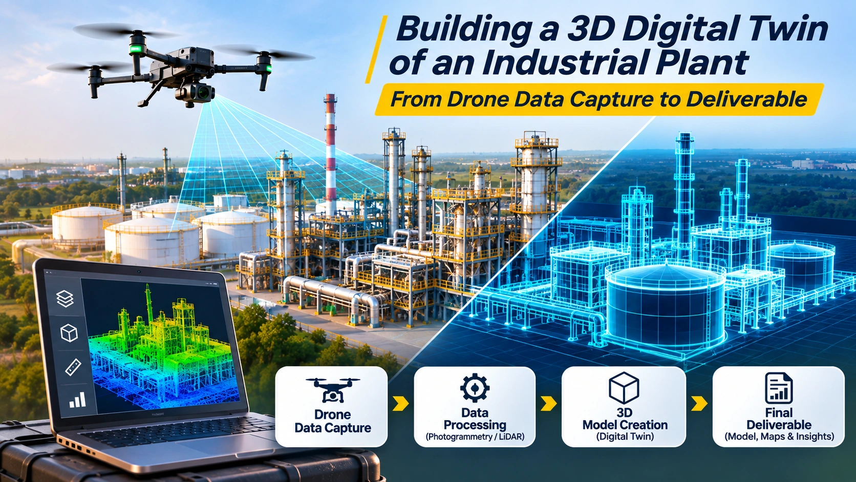
Industrial plants are complex environments containing buildings, pipelines, tanks, equipment, roads, structures, utilities and other assets.
For engineering, maintenance and project teams, understanding the plant in three dimensions can be much more useful than relying only on 2D drawings or individual photographs.
A 3D digital twin drone workflow can help capture the existing physical environment and convert it into structured spatial data such as point clouds, 3D models, orthomosaics and GIS-ready datasets.
However, there is an important distinction:
A 3D model is not automatically a digital twin.
A 3D model represents the physical appearance or geometry of an asset. A digital twin goes further by connecting the digital representation with relevant asset information, operational data, historical information or other data sources depending on the intended use. NIST and ISO describe digital twins as digital representations connected to real-world entities through data and, depending on the implementation, synchronization, analysis or operational services.
For an industrial plant, the overall workflow can therefore look like:
Drone Data Capture → LiDAR/Photogrammetry → Point Cloud → 3D Model → GIS/BIM/Asset Data → Digital Twin Platform → Operational Use
What Is a 3D Digital Twin of an Industrial Plant?
A 3D digital twin is a digital representation of a physical plant that combines its spatial or geometric information with additional data required for a particular business or engineering use case.
The 3D component can represent:
- Buildings
- Tanks
- Pipelines
- Roads
- Equipment
- Structures
- Towers
- Roofs
- Utilities
- Plant boundaries
- Surrounding terrain
Additional information can include:
- Asset IDs
- Equipment information
- Inspection records
- Maintenance history
- Design information
- Sensor data
- GIS layers
- Construction records
- Operational information
The exact definition of the twin depends on the intended use.
For example, a basic reality-capture model may primarily help engineers understand the existing plant. A more advanced operational twin could connect that model with asset databases, IoT sensors, maintenance records and other systems.
This distinction matters because simply creating a visually impressive 3D model does not automatically create a functioning digital twin.
Why Use Drones to Build an Industrial Plant Digital Twin?
Industrial plants can cover large areas and contain structures that are difficult to document from the ground.
Drones can capture high-resolution aerial information across:
- Roofs
- Towers
- Pipe racks
- Storage tanks
- Chimneys
- Buildings
- Open yards
- Roads
- Utility corridors
- Other elevated structures
Drone imagery can also complement terrestrial laser scanning.
Autodesk has documented workflows where drone imagery is combined with terrestrial laser scanning to capture large facilities, including areas such as rooftops that may be difficult to reach with ground-based scanners.
This makes a combined reality-capture approach useful when the objective is to create a more complete representation of an existing industrial facility.
What Data Does a Drone Capture for a Digital Twin?
The drone does not directly capture a finished digital twin.
It captures source data that is processed into spatial information.
Depending on the project, this can include:
RGB Images
High-resolution photographs can provide visual information and support photogrammetric reconstruction.
LiDAR Data
LiDAR sensors use laser measurements to generate detailed three-dimensional point clouds.
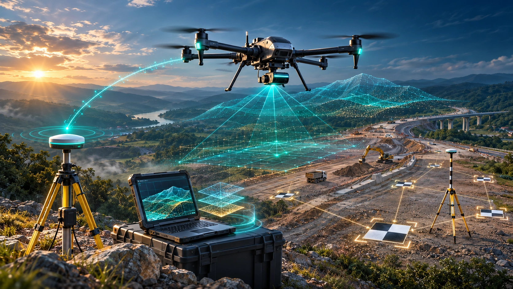
RTK or PPK Positioning
RTK and PPK can improve the positioning of captured data and support accurate georeferencing.
Ground Control Points
GCPs can provide known spatial references for the survey and help with accuracy validation.
Thermal Data
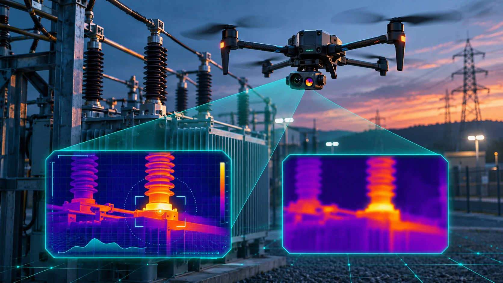
Where required, thermal imagery can add temperature-related information for inspection applications.
SkyGlimps currently provides 3D LiDAR and GIS services that can produce point clouds, 3D maps, digital elevation models, terrain models, GIS datasets and digital twin outputs depending on project requirements.
Drone Photogrammetry vs LiDAR for Industrial Digital Twins
Both technologies can contribute to a plant digital twin, but they capture information differently.
| Factor | Drone Photogrammetry | Drone LiDAR |
|---|---|---|
| Data source | Overlapping photographs | Laser measurements |
| Main output | Point cloud, orthomosaic, 3D model | Dense 3D point cloud |
| Visual texture | Excellent | Requires imagery for detailed colour |
| 3D geometry | Strong | Strong |
| Complex structures | Useful | Often advantageous |
| Vegetation | Can be challenging | Better suited to many vegetated environments |
| Lighting dependence | Higher | Lower |
| Typical strength | Visual + 3D documentation | Detailed spatial measurement |
| Digital twin use | Visual reality layer | Geometric/spatial foundation |
The right technology depends on the plant, required accuracy, deliverables and intended use.
SkyGlimps also describes LiDAR as particularly useful for complex infrastructure, terrain, industrial sites and advanced 3D spatial workflows.
In some projects, photogrammetry and LiDAR are used together rather than treated as competing technologies.
What Is the Workflow for Building a 3D Digital Twin With Drones?
A professional workflow should begin with the final use case rather than simply choosing a drone.
Step 1: Define the Digital Twin Objective
First establish what the digital twin needs to accomplish.
Possible objectives include:
- Existing-condition documentation
- Plant expansion planning
- Maintenance
- Asset management
- Inspection
- Construction monitoring
- Engineering coordination
- Emergency planning
- Facility management
- Change detection
The objective determines the required level of detail and data.
Step 2: Define the Required Deliverables
The team should decide whether it needs:
- Orthomosaic
- Point cloud
- 3D mesh
- 3D textured model
- DEM/DSM
- CAD files
- BIM model
- GIS layers
- Asset database
- Interactive 3D environment
- Digital twin platform
This step prevents the common mistake of collecting large amounts of drone data without defining how it will eventually be used.
Step 3: Survey and Risk Assessment
Before flying, the team reviews:
- Plant layout
- Structures
- Obstacles
- Take-off and landing areas
- Electrical infrastructure
- Restricted areas
- Nearby people
- Weather
- Wind
- Required flight paths
- Applicable drone regulations
Industrial plants require careful operational planning because the site may contain cranes, power infrastructure, moving machinery, restricted zones and other hazards.
Step 4: Establish Survey Control
Where required, survey control can be established using:
- GCPs
- RTK
- PPK
- GNSS
- Independent checkpoints
This helps ensure that the resulting model is correctly positioned and can be aligned with existing engineering or GIS data.
Step 5: Capture Drone Data
The drone captures imagery or LiDAR data across the plant.
The mission may include:
- Grid flights
- Circular flights
- Oblique imagery
- Facade capture
- Roof capture
- Structure-specific missions
Oblique imagery can be particularly useful for vertical structures because it captures surfaces that may not be adequately represented by a simple top-down flight.
Step 6: Process the Data
The raw information is processed using photogrammetry, LiDAR and GIS workflows.
A photogrammetry workflow can look like:
Images → Alignment → Point Cloud → Surface Model → 3D Mesh
A LiDAR workflow can look like:
LiDAR Scan → Trajectory Processing → Point Cloud → Classification → 3D Spatial Dataset
SkyGlimps describes its own process as requirement analysis, mission planning, drone data capture, data processing, quality assurance and report/data delivery.
Step 7: Register and Combine Data
For a complete industrial plant, data may come from multiple sources:
- Drone photogrammetry
- Drone LiDAR
- Terrestrial LiDAR
- Existing CAD
- BIM
- GIS
- Survey control
- Asset databases
These datasets can be aligned into a common coordinate system.
Combining drone imagery with terrestrial scanning is particularly useful where outdoor aerial coverage and detailed indoor or ground-level capture are both required.
Step 8: Create the 3D Model
The processed data can be converted into:
- 3D point clouds
- Textured meshes
- Simplified 3D models
- Engineering models
- BIM models
- GIS-based 3D environments
The required level of detail should be determined by the use case.
A maintenance-focused twin may not require every bolt to be modelled.
A detailed engineering workflow may require much greater geometric detail.
Step 9: Add Asset and Operational Data
This is where the workflow starts moving from a simple 3D model toward a digital twin.
Assets can be associated with:
- Asset numbers
- Equipment types
- Inspection records
- Maintenance dates
- Manufacturer information
- Operating information
- Sensor readings
- Work orders
The amount of connected information depends on the digital twin’s purpose.
Step 10: Publish the Digital Twin
The final environment may be delivered through:
- GIS platforms
- BIM environments
- Web-based 3D viewers
- Asset management platforms
- Enterprise digital twin systems
- Interactive dashboards
The objective is to make the spatial information usable by the people who need it.
What Deliverables Can Come From a Drone-Based Plant Digital Twin Project?
A professional project can produce multiple outputs.
3D Point Cloud
A dense collection of 3D points representing the captured environment.
Useful for:
- Measurement
- Spatial analysis
- Engineering reference
- Modelling
3D Textured Model
A realistic 3D representation that combines geometry with photographic texture.
Useful for:
- Visualisation
- Remote review
- Stakeholder communication
- Site documentation
Orthomosaic
A geometrically corrected aerial image that provides a detailed top-down view of the plant.
Digital Surface Model
Represents the elevation of visible surfaces such as buildings, equipment and terrain.
GIS-Ready Data
Allows the plant model to be integrated with other spatial information.
CAD/BIM-Compatible Data
Useful when the digital twin needs to support engineering, design or construction workflows.
Asset Register
Individual plant components can be linked to identifiers and supporting information.
Interactive 3D Twin
Users can navigate the facility digitally and access associated spatial or asset information.
SkyGlimps lists point clouds, 3D maps, digital elevation models, terrain models, GIS datasets, digital twin outputs and interactive 3D mapping data among its potential deliverables.
Why Is Georeferencing Important for an Industrial Digital Twin?
A 3D model becomes significantly more useful when it is correctly positioned in real-world coordinates.
Georeferencing allows the model to align with:
- Site boundaries
- Survey data
- CAD drawings
- GIS layers
- Existing plant plans
- Previous surveys
- Future surveys
For example, if a plant is surveyed again six months later, a properly georeferenced dataset can be compared against the earlier model.
This supports:
- Change detection
- Construction monitoring
- Asset updates
- New development planning
- Maintenance documentation
SkyGlimps describes georeferencing as the process of assigning real-world coordinates to drone data so that maps, point clouds, elevation models and other outputs align with their actual location.
How Does a Digital Twin Help Industrial Plant Maintenance?
A spatially accurate 3D environment can make maintenance information easier to understand.
Instead of searching through separate drawings, photographs and spreadsheets, a team can associate information with the physical location of an asset.
For example:
Plant → Building → Equipment → Asset ID → Inspection Record → Maintenance History
This spatial relationship can help teams understand where an asset is and what information is associated with it.
Digital twins can also support monitoring, diagnostics, simulation and decision-making when connected to appropriate operational data. NIST identifies applications including monitoring, diagnosis, prediction, optimisation and decision support.
Can a Drone Digital Twin Support Plant Expansion Projects?
Yes.
A current 3D representation can provide an as-built reference for engineers and planners.
It can help teams understand:
- Existing structures
- Available space
- Equipment locations
- Roof elevations
- Pipe-rack geometry
- Access routes
- Site constraints
The existing reality-capture model can then be combined with proposed design information.
This can help teams compare:
Existing Condition vs Proposed Design
Autodesk documents industrial workflows in which point clouds, 2D layouts and 3D models are combined for plant design, engineering coordination and analysis.
Can Drone Data Be Combined With BIM?
Yes.
Drone-derived reality data can provide the existing physical context, while BIM provides structured design and building information.
A combined workflow can look like:
Drone/LiDAR → Point Cloud → Reality Model → BIM/CAD → GIS → Digital Twin
This can be particularly useful when an existing industrial facility needs to be documented before renovation, expansion or equipment replacement.
However, the drone model and BIM model should not be treated as automatically interchangeable.
They may have different:
- Levels of detail
- Coordinate systems
- Object structures
- Accuracy requirements
- Data schemas
The integration should therefore be planned according to the intended engineering workflow.
Why Is Quality Assurance Important?
A digital twin is only as useful as the data supporting it.
Quality assurance should review:
- Positional accuracy
- Point-cloud completeness
- Image coverage
- Data gaps
- Registration errors
- Coordinate systems
- Model alignment
- Asset identification
- File integrity
Independent checkpoints can help validate the survey.
The team should also identify areas where the drone could not capture sufficient information because of:
- Occlusion
- Structures
- Vegetation
- Restricted access
- Poor lighting
- Communication limitations
These limitations should be documented rather than hidden.
Can Drone Data Alone Create a Complete Industrial Digital Twin?
Usually, no.
Drone data can provide a powerful reality-capture layer, but a comprehensive industrial digital twin may require information from several systems.
These can include:
- Drone imagery
- LiDAR
- Terrestrial laser scanning
- BIM
- CAD
- GIS
- Asset management systems
- IoT sensors
- Maintenance databases
- Historical records
Esri describes geospatial digital twins as environments that can combine drone data, BIM, GIS, IoT and other datasets, while NIST emphasises the broader data and system relationships behind digital twins.
The drone is therefore best understood as an important reality-capture tool within the digital twin workflow, rather than the entire digital twin itself.
How Often Should an Industrial Plant Digital Twin Be Updated?
There is no universal update frequency.
It depends on how quickly the physical plant changes and how the digital twin is being used.
For example:
| Use Case | Possible Update Approach |
|---|---|
| Existing-condition documentation | Project-based |
| Construction monitoring | Weekly or milestone-based |
| Major plant modification | Before/after project |
| Asset inspection | Inspection-driven |
| Facility management | Periodic |
| Operational twin | Continuous or near-real-time data integration |
For a static as-built model, frequent drone flights may not be necessary.
For construction or active asset monitoring, repeated surveys can provide a useful time-based record.
SkyGlimps’ documentation and progress-tracking workflow uses an initial baseline capture followed by scheduled drone flights, with updated imagery, 3D models and measurement reports used to monitor change over time.
What Industries Can Use 3D Digital Twins From Drone Data?
The workflow can be valuable across many industrial sectors.
Power and Energy
Potential applications include:
- Power plants
- Substations
- Solar facilities
- Transmission infrastructure
- Utility assets
Manufacturing
Digital twins can support:
- Factory documentation
- Equipment planning
- Maintenance
- Expansion
- Facility management
Mining
Applications can include:
- Processing plants
- Stockyards
- Infrastructure
- Terrain
- Equipment areas
Oil and Gas
Potential applications include:
- Refineries
- Processing facilities
- Storage tanks
- Pipelines
- Industrial structures
Infrastructure
Digital twins can support:
- Large facilities
- Transportation infrastructure
- Water assets
- Industrial campuses
How Does SkyGlimps Support 3D Digital Twin Projects?
SkyGlimps provides 3D LiDAR & GIS Solutions designed around high-density spatial data, 3D modelling and GIS workflows.
Its current services can produce:
- Point clouds
- 3D maps
- Digital elevation models
- Terrain models
- GIS-ready datasets
- Digital twin outputs
- Interactive 3D mapping data
- Spatial analysis reports
The company also provides 2D surveying, mapping, thermal and RGB inspection, documentation and progress-tracking services that can contribute additional layers to a broader industrial digital twin workflow.
Explore SkyGlimps 3D LiDAR & GIS Solutions
For an industrial plant project, the survey methodology should be planned around the required accuracy, level of detail, coverage, coordinate system, data sources and final deliverables.
Frequently Asked Questions
A 3D digital twin drone refers to a drone-based reality-capture workflow used to collect aerial imagery or LiDAR data that contributes to a three-dimensional digital representation of a physical facility. The resulting data can be combined with GIS, BIM, asset and operational information to build a broader digital twin.
No. A 3D model primarily represents the geometry or appearance of a physical asset. A digital twin can connect that representation with relevant asset, operational, historical or sensor data and support specific monitoring, analysis or decision-making use cases.
It depends on the project. Photogrammetry is useful when detailed visual information and textured 3D models are important. LiDAR can be advantageous when detailed 3D geometry, complex structures or difficult site conditions are involved. Many large projects benefit from combining both technologies.
Yes. Drone imagery or LiDAR can capture roofs, facades and large outdoor areas, while terrestrial scanning can provide detailed information from ground level or indoor environments. Combining the datasets can create a more complete plant representation.
Depending on the project, deliverables can include point clouds, 3D meshes, textured models, orthomosaics, DEM/DSM, GIS layers, CAD/BIM-compatible data, asset information and an interactive digital twin environment.
From Drone Data to a Usable Industrial Digital Twin
Building a 3D digital twin drone workflow is not simply about flying over an industrial plant and creating a 3D model.
The complete process is:
Define the Use Case → Plan the Survey → Establish Control → Capture Drone Data → Process LiDAR/Imagery → Build 3D Data → Integrate GIS/BIM/Asset Information → Validate → Publish → Update
The most important decision should be made before the drone takes off:
What does the project need the digital twin to do?
If the objective is only visual documentation, a textured 3D model may be sufficient.
If the objective is engineering coordination, the project may require point clouds, CAD or BIM integration.
If the objective is facility management, asset information and GIS may become more important.
If the objective is an operational digital twin, additional systems such as IoT, maintenance databases and real-time data may need to be connected.
Drone data provides a powerful reality-capture foundation, especially for large outdoor plant areas, rooftops, structures and difficult-to-access locations.
When combined with LiDAR, terrestrial scanning, GIS, BIM and asset information, it can become part of a much broader digital representation of the facility.
The real value of a digital twin is therefore not the 3D visual alone.
It is the ability to connect where an asset is, what it looks like, what information is associated with it, how it has changed and what decisions need to be made about it.
For industrial plants, that can turn drone surveying from a one-time data-capture exercise into a reusable spatial intelligence system for engineering, maintenance, monitoring, planning and asset management.