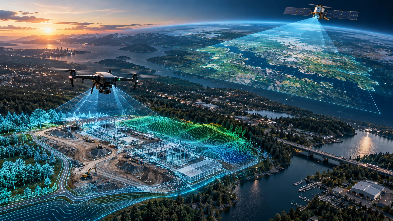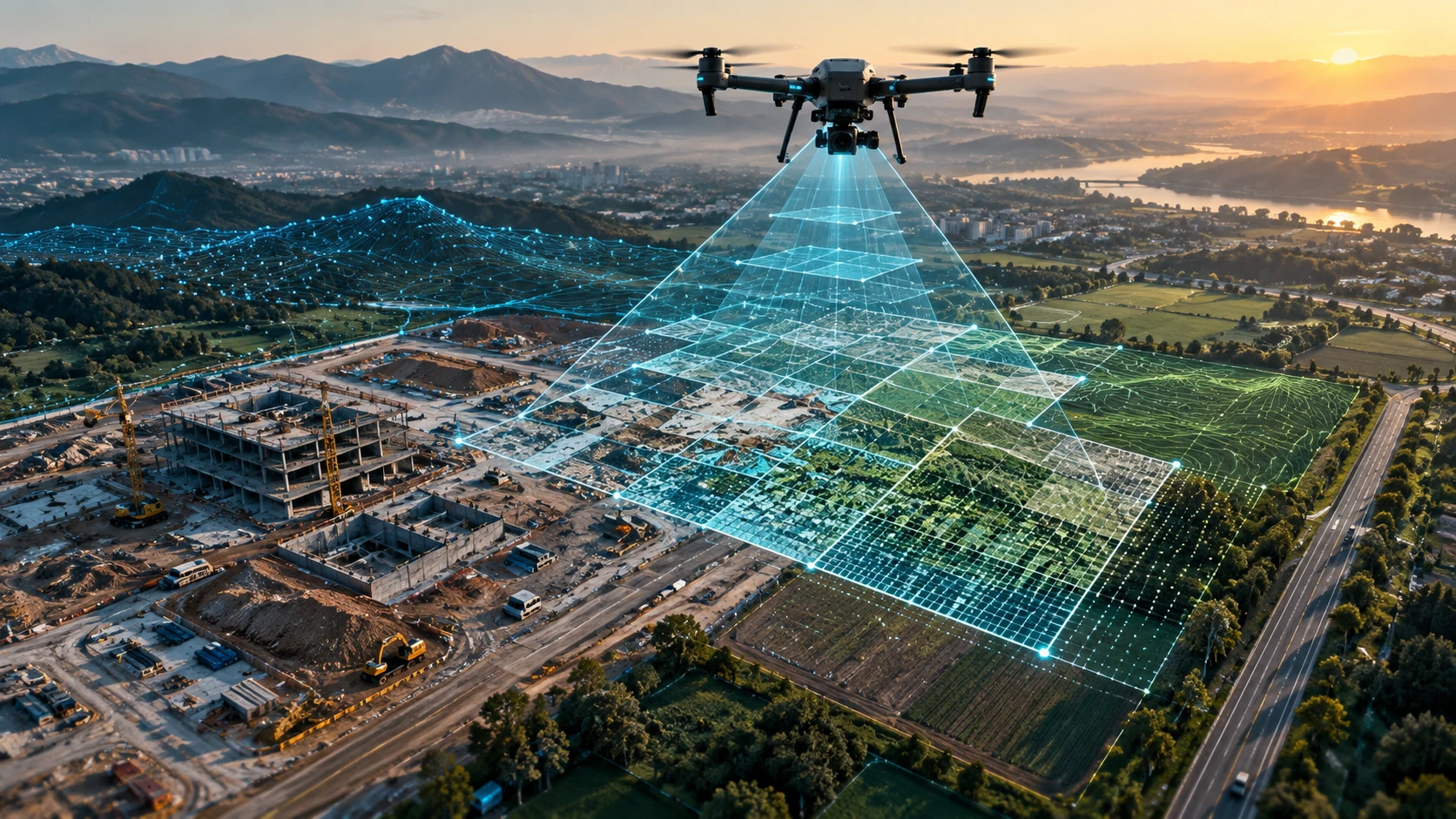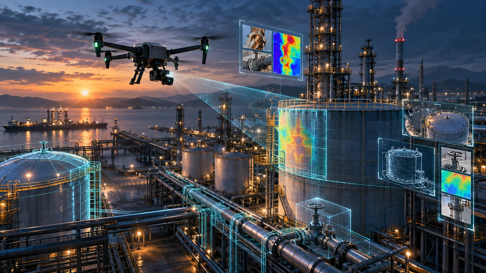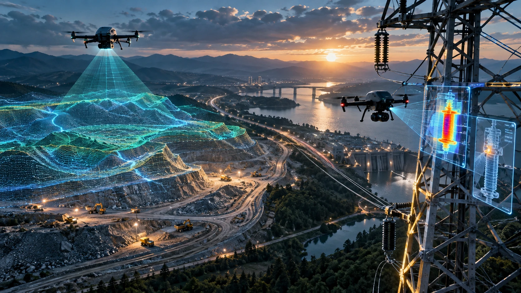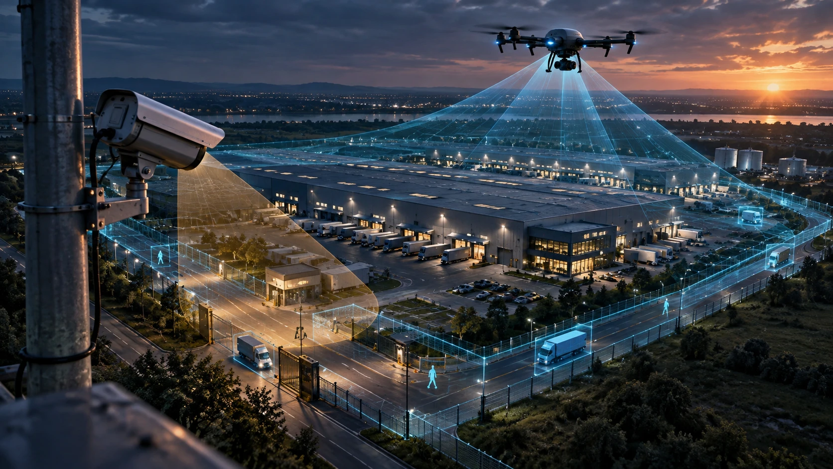
Drone surveillance vs CCTV is not a question of which system should completely replace the other. CCTV is useful for fixed, continuous monitoring of known locations, while drone surveillance adds value when a site needs mobile, aerial, flexible, and wider-area visibility. For many security, infrastructure, industrial, event, construction, and emergency-response use cases, the strongest approach is to use drones and CCTV together.
CCTV cameras are excellent for gates, entrances, corridors, parking areas, offices, warehouses, and fixed perimeters. But they have fixed fields of view. They cannot easily move to inspect a distant corner, follow a changing incident, check a large open site, or provide an aerial overview of a developing situation.
Drone surveillance fills this gap by giving security and operations teams a live aerial view when the situation needs mobility, height, speed, and broader context.
What is drone surveillance?
Drone surveillance is the use of drones to monitor an area from the air using live video, aerial imagery, zoom cameras, thermal payloads, or mission-based observation. It helps teams see large, remote, difficult, or changing environments more clearly.
Drone surveillance can support:
- Large-site monitoring
- Industrial area surveillance
- Construction site monitoring
- Event crowd observation
- Utility corridor review
- Perimeter patrol
- Emergency response
- Disaster assessment
- Security incident support
- Traffic and access route observation
- Law enforcement support
- Infrastructure monitoring
Skyglimps Technologies LLP provides Live Aerial Surveillance for organisations that need drone-enabled aerial monitoring, real-time visibility, and site-level observation support.
What is CCTV surveillance?
CCTV surveillance uses fixed or movable cameras installed at specific locations to record or monitor activity within their field of view. It is widely used for continuous monitoring of entrances, exits, buildings, perimeters, roads, warehouses, campuses, offices, and public areas.
CCTV is useful because it can provide:
- Continuous recording
- Fixed-location monitoring
- Evidence review
- Entrance and exit visibility
- Indoor and outdoor security coverage
- Perimeter monitoring
- Integration with control rooms
- Long-term surveillance records
A CCTV system works best when the camera locations are planned properly. Camera angle, height, blind spots, lighting, storage, monitoring process, and access control all affect its value.
However, CCTV is fixed infrastructure. Once installed, it monitors only the area it is positioned to see.
What is the main difference between drone surveillance and CCTV?
The main difference is that CCTV provides fixed monitoring, while drone surveillance provides mobile aerial monitoring. CCTV watches defined points continuously, while drones can move across a site and provide a live top-down view.
A simple comparison:
| Factor | CCTV | Drone surveillance |
|---|---|---|
| Camera position | Fixed or mounted | Mobile and aerial |
| Coverage style | Specific field of view | Flexible wider-area view |
| Best for | Gates, rooms, corridors, fixed perimeters | Large sites, events, corridors, emergency situations |
| Monitoring duration | Continuous | Mission-based or scheduled |
| Mobility | Limited | High |
| Setup | Permanent infrastructure | Deployable field operation |
| Blind spot handling | Needs more cameras | Can move to inspect areas |
| Use in emergencies | Useful for fixed views | Useful for live aerial situational awareness |
CCTV is better for constant watch over known points. Drone surveillance is better when the site is large, changing, temporary, difficult to access, or not fully covered by fixed cameras.
When does CCTV work better than drones?
CCTV works better when a location needs continuous, fixed, long-duration monitoring. It is the right choice for areas where activity must be recorded throughout the day or night without deploying a drone team each time.
CCTV is suitable for:
- Entry and exit gates
- Reception areas
- Warehouses
- Office buildings
- Lift lobbies
- Staircases
- Parking lots
- Boundary walls
- Cash counters
- Server rooms
- Factory access points
- Internal corridors
CCTV is also useful when the area is predictable. If the same gate, passage, or room needs monitoring every day, a fixed camera system is usually more practical.
Drone surveillance should not be used as a replacement for basic CCTV coverage in fixed high-risk locations. It works better as an additional layer when mobility and aerial perspective are needed.
When does drone surveillance add more value?
Drone surveillance adds more value when the monitoring area is large, open, temporary, remote, difficult to access, or changing quickly. It helps teams see the bigger picture from above.
Drone surveillance is useful for:
- Construction sites
- Industrial campuses
- Mining areas
- Solar parks
- Large warehouses and logistics parks
- Public events
- Parking and traffic movement
- Utility corridors
- Border or perimeter-like open zones
- Water bodies and embankments
- Disaster or storm-affected areas
- Large institutional campuses
A drone can quickly move from one part of a site to another. It can check blind spots, access roads, open yards, rooftops, boundary areas, and remote corners without needing permanent camera installation everywhere.
This is especially useful where CCTV coverage would require too many cameras, poles, wiring, networking, storage systems, and control-room integration.
How does aerial monitoring improve situational awareness?
Aerial monitoring improves situational awareness by showing the full scene from above instead of only one fixed camera angle. This helps teams understand what is happening, where it is happening, and how people, vehicles, assets, or risks are moving.
For example, during a large event, CCTV may show entry gates and specific zones. A drone can show crowd movement, parking pressure, blocked access routes, perimeter activity, and emergency vehicle paths from above.
In an industrial site, CCTV may cover main gates and key buildings. A drone can inspect remote boundaries, rooftops, stockyards, temporary work zones, and areas not covered by fixed cameras.
Aerial monitoring can support:
- Faster incident assessment
- Better crowd overview
- Access-route visibility
- Perimeter checks
- Movement tracking
- Emergency coordination
- Site-wide decision-making
- Faster response planning
The value of drone surveillance is not only the video feed. It is the wider context that helps teams make better decisions.
Can drones reduce CCTV blind spots?
Drones can help reduce CCTV blind spots by inspecting areas that fixed cameras cannot see clearly. They are useful when the site has open land, uneven terrain, buildings, temporary structures, vegetation, storage yards, or changing activity zones.
CCTV blind spots may occur because of:
- Poor camera placement
- Obstructions
- Tall vehicles
- Building corners
- Trees and vegetation
- Temporary structures
- Lighting issues
- Distance from the camera
- Limited camera angle
- Terrain changes
A drone can be deployed to check these areas from above. This is useful during security rounds, site audits, event monitoring, and post-incident review.
However, drones do not remove the need for proper CCTV planning. CCTV should still be installed correctly for continuous coverage of critical fixed points.
How do drones support large construction and infrastructure sites?
Drones support large construction and infrastructure sites by giving project and security teams a live aerial view of work zones, material movement, access roads, perimeters, and restricted areas. This helps improve monitoring and coordination.
Construction and infrastructure sites often change every day. Temporary roads, labour movement, machinery, materials, excavation zones, and storage areas may shift frequently. Fixed CCTV may not cover every changing area.
Drone surveillance can help monitor:
- Site boundary
- Entry and exit movement
- Material storage zones
- Equipment areas
- Worker movement
- Unsafe access points
- Road blockages
- Remote site corners
- Night or low-activity checks where suitable
- Progress and activity patterns
For recurring visual records, Skyglimps also supports Documentation & Progress Tracking for organisations that need dated aerial evidence and project-stage monitoring.
How do drones help during events and crowd monitoring?
Drones help during events by providing an aerial overview of crowd density, entry points, parking areas, queues, emergency routes, and movement patterns. This helps event teams and security teams coordinate better.
Drone surveillance can support:
- Crowd-flow observation
- Parking management
- Entry and exit monitoring
- Queue visibility
- Perimeter observation
- VIP movement support
- Emergency route checks
- Coordination with ground teams
CCTV is still useful at gates, stages, ticket counters, and fixed control points. Drones add value by showing the larger event layout and how people are moving across the venue.
For event use, safety and permissions are critical. Drone flights must be planned carefully around crowds, structures, airspace, and local rules.
How do drones support utility, industrial, and remote-site surveillance?
Drones support utility, industrial, and remote-site surveillance by reaching areas that are difficult, slow, or risky for ground teams to inspect repeatedly. They can provide live aerial visibility across assets, corridors, yards, and boundaries.
Useful applications include:
- Power corridor observation
- Solar plant monitoring
- Industrial perimeter checks
- Factory roof observation
- Tank farm monitoring
- Mining site visibility
- Quarry activity review
- Pipeline or canal-side monitoring
- Warehouse yard surveillance
- Remote asset inspection
For infrastructure and utility-related projects, drone surveillance may also be combined with Thermal & RGB Inspections where visual or thermal asset condition data is required.
Drone surveillance is especially useful when the issue is not at a fixed camera point. It gives teams the ability to move the camera to the problem area.
Can drone surveillance help in emergency response?
Drone surveillance can support emergency response by giving teams a live aerial view of the affected area before or during ground action. This helps responders understand access, hazards, crowd movement, damage, or blocked routes.
Drone support may be useful during:
- Fire perimeter observation
- Flood or waterlogging assessment
- Storm damage review
- Road blockage monitoring
- Search support in open areas
- Industrial incident assessment
- Public event emergencies
- Post-disaster documentation
A drone can help teams decide where to send people, vehicles, tools, or rescue support. It can also help avoid sending personnel blindly into unsafe or unknown conditions.
Drone data should support, not replace, emergency command decisions. The final response must follow authorised protocols and ground-team judgement.
What are the limits of drone surveillance?
Drone surveillance has limits because drones are mission-based, battery-dependent, weather-sensitive, and subject to operational, safety, privacy, and regulatory requirements. They are not a simple replacement for CCTV.
Limitations include:
- Limited flight duration
- Weather restrictions
- Wind and rain limitations
- Need for trained pilots
- Airspace restrictions
- Privacy concerns
- Battery planning
- Signal limitations
- Safe take-off and landing needs
- Not ideal for continuous 24/7 monitoring
- Need for site coordination
- Data storage and access control requirements
This is why the right question is not “drone or CCTV?” The better question is: “Which parts of the site need fixed monitoring, and which parts need mobile aerial monitoring?”
What privacy and safety points should be considered?
Privacy and safety must be considered before using drone surveillance or CCTV because both involve monitoring people, property, and sensitive locations. Responsible use requires clear purpose, restricted access, and proper operating procedures.
Project teams should define:
- Purpose of monitoring
- Area to be covered
- Areas to avoid
- Who can view the feed
- Who can access recordings
- Data storage duration
- Permission requirements
- Public safety controls
- Site communication plan
- Emergency procedures
- Compliance responsibilities
Drone surveillance should not be used casually over people, private property, or sensitive areas. The operation should be limited to the approved site and the defined monitoring objective.
Professional aerial monitoring must balance visibility with responsibility.
Should businesses use drones, CCTV, or both?
Businesses should use CCTV for fixed continuous monitoring and drones for flexible aerial monitoring when the area is large, temporary, remote, or changing. In many professional environments, both systems work best together.
A practical decision guide:
| Requirement | Better option |
|---|---|
| Continuous gate monitoring | CCTV |
| Office or warehouse corridor monitoring | CCTV |
| Large open site visibility | Drone surveillance |
| Event crowd overview | Drone surveillance plus CCTV |
| Construction site progress and security | Drone surveillance plus CCTV |
| Remote perimeter checks | Drone surveillance |
| Evidence at fixed access points | CCTV |
| Emergency situational awareness | Drone surveillance |
| Industrial asset overview | Drone surveillance |
| Long-term 24/7 recording | CCTV |
CCTV creates a fixed security layer. Drone surveillance creates a mobile response and observation layer. Together, they can give teams both continuity and flexibility.
What should a drone surveillance plan include?
A drone surveillance plan should define the monitoring objective, site area, flight schedule, safety controls, live-feed requirement, reporting format, permissions, and data handling process. This ensures the operation is useful and responsible.
A professional plan should include:
- Monitoring objective
- Site boundary
- Flight zones
- No-fly areas
- Take-off and landing points
- Flight schedule
- Live-feed requirement
- Ground-team coordination
- Emergency landing areas
- Battery and backup plan
- Permission and airspace review
- Recording and data storage plan
- Reporting format
- Escalation process
- Privacy and access controls
For security teams, the drone feed should connect to action. If the drone sees an issue, the team should know who responds, how they respond, and what communication channel is used.
How should clients choose a drone surveillance partner?
Clients should choose a drone surveillance partner by checking compliance awareness, pilot experience, live-monitoring capability, site-safety process, reporting quality, and operational planning. The partner should understand security and monitoring needs, not only drone flying.
Ask these questions before hiring:
- Have you handled surveillance or monitoring projects before?
- Can you support live aerial monitoring?
- What drone and camera capability will be used?
- How will the flight area be defined?
- What permissions or airspace checks are needed?
- How will safety near people and assets be managed?
- Will recordings or reports be provided?
- Who will coordinate with site security?
- How will privacy and data access be handled?
- What are the limitations of drone surveillance for this site?
A professional partner should explain both the benefits and the limits of drone surveillance clearly.
Why choose Skyglimps Technologies for live aerial surveillance?
Skyglimps Technologies LLP is a Kolkata-based drone services company and DGCA-certified Remote Pilot Training Organisation serving government and enterprise clients across Eastern India. The company supports drone-enabled workflows across live aerial surveillance, surveying, mapping, LiDAR, GIS, thermal and RGB inspections, documentation, and training.
Skyglimps Technologies, a DGCA-certified RPTO in Kolkata, is positioned for organisations that need structured aerial monitoring for large sites, events, infrastructure, industrial assets, utilities, and security-sensitive locations.
For projects in Kolkata, West Bengal, Jharkhand, Odisha, and Eastern India, local coordination can help improve site scoping, flight planning, safety checks, monitoring workflows, and reporting clarity.
Drone surveillance vs CCTV should be treated as a planning decision. CCTV gives fixed coverage. Drone surveillance adds mobile aerial visibility when the situation needs a wider view.
FAQ: Drone Surveillance vs CCTV
CCTV provides fixed monitoring from installed cameras. Drone surveillance provides mobile aerial monitoring that can move across large, open, remote, or changing sites.
Usually no. CCTV is better for continuous fixed monitoring. Drones are better for aerial visibility, temporary monitoring, large sites, emergency response, and blind-spot checks
Drone surveillance is useful for construction sites, events, industrial areas, utilities, mining sites, large campuses, emergency response, perimeter checks, and remote locations.
Yes. CCTV is generally better for continuous 24/7 monitoring of gates, buildings, corridors, parking areas, and fixed security points.
Yes. Drone surveillance can help security teams see large areas, check blind spots, assess incidents, monitor movement, and coordinate ground response more effectively.
Drone surveillance is limited by battery life, weather, airspace rules, privacy requirements, trained pilot availability, signal quality, and safe operating conditions.
Many businesses should use both. CCTV provides continuous fixed monitoring, while drones add mobile aerial coverage for large, changing, or difficult-to-monitor areas.
Add aerial visibility to your monitoring strategy
Drone surveillance vs CCTV is not about choosing one system for every situation. CCTV is valuable for fixed, continuous monitoring. Drone surveillance adds value when teams need a mobile aerial view of large sites, events, corridors, perimeters, industrial areas, or emergency situations.
For businesses, infrastructure teams, event organisers, utilities, and security teams in Kolkata, West Bengal, and Eastern India, aerial monitoring can improve situational awareness and help teams respond with better information.
If your organisation needs live aerial monitoring, site surveillance, event observation, perimeter checks, or emergency-response visibility, connect with Skyglimps Technologies LLP through the Live Aerial Surveillance service page and share your site location, monitoring objective, area size, and operational requirements.