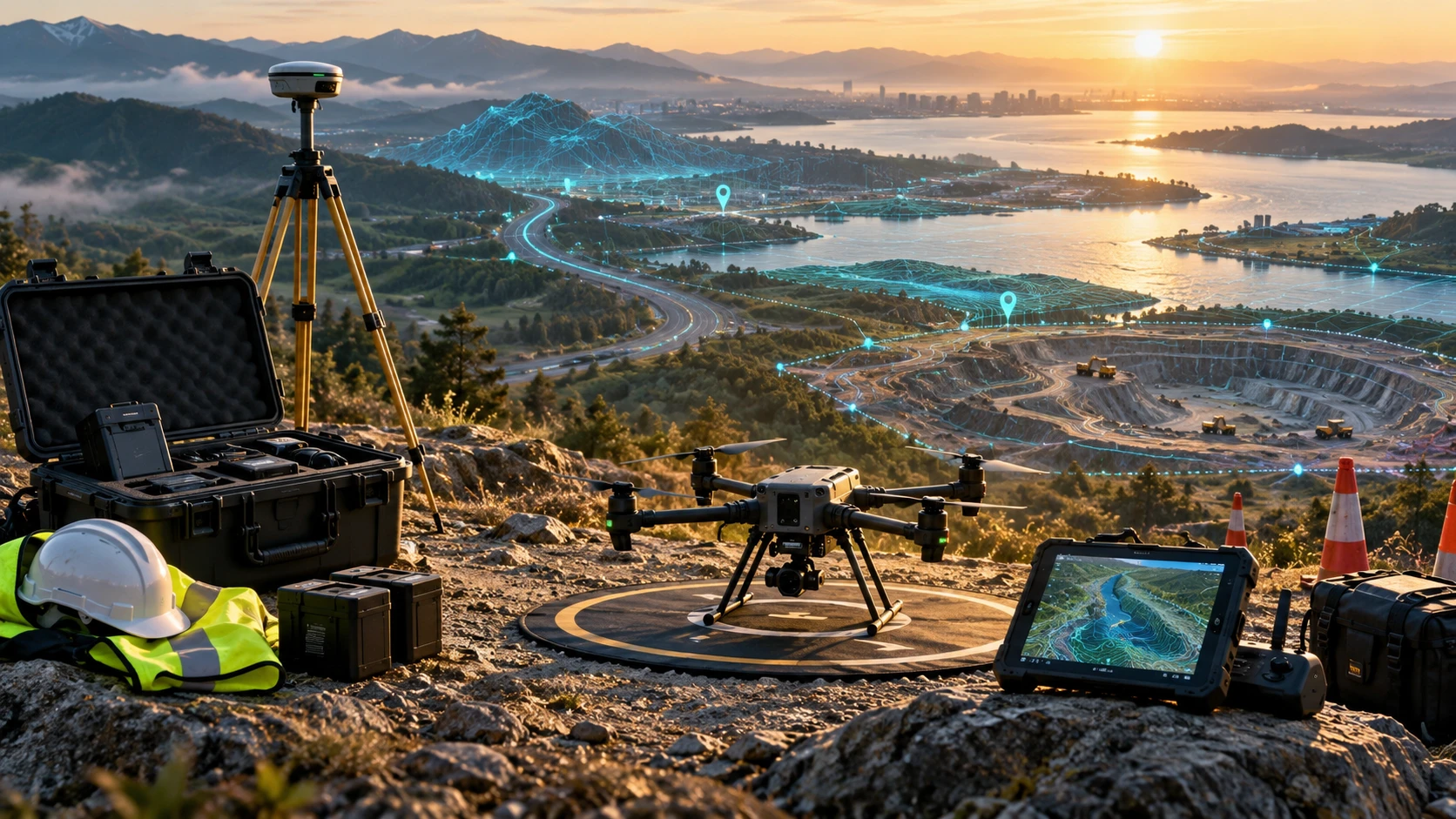
A clear drone survey planning checklist helps project teams prepare the site, documents, permissions, safety requirements, deliverables, and accuracy workflow before fieldwork begins. Good drone survey results do not start when the drone takes off. They start when the project scope, site boundary, flight plan, ground control, reporting needs, and client expectations are clearly defined.
Drone surveys are used for construction monitoring, land mapping, road surveys, canal mapping, mining volume calculation, real estate planning, irrigation projects, utility inspection, and infrastructure documentation. Each use case needs different planning. A visual progress survey may need aerial images and an orthomosaic map, while a technical survey may require GCPs, RTK, PPK, DEMs, contours, GIS files, CAD outputs, or volume reports.
This guide explains what clients and project teams should prepare before drone survey fieldwork begins.
What is a drone survey planning checklist?
A drone survey planning checklist is a practical preparation list used before fieldwork to confirm the site, objective, access, safety, accuracy method, deliverables, timeline, and reporting requirements. It helps the client and survey team avoid missing important details.
A strong checklist should cover:
- Project objective
- Site boundary
- Survey area
- Required deliverables
- Accuracy requirements
- GCP, RTK, or PPK workflow
- Site access
- Local permissions
- Airspace checks
- Safety risks
- Weather conditions
- Data processing requirements
- File formats
- Final report expectations
Skyglimps Technologies LLP provides 2D Surveying & Mapping for organisations that need aerial maps, orthomosaic outputs, site documentation, and survey-ready visual data for professional projects.
Why is planning important before drone survey fieldwork?
Planning is important because drone survey data quality depends on decisions made before the flight. The survey objective controls the flight plan, altitude, overlap, control method, processing workflow, and final deliverables.
If planning is weak, the team may face:
- Missing site coverage
- Wrong flight altitude
- Poor image overlap
- Incorrect survey boundary
- Delayed access approval
- Unsafe field conditions
- Wrong file formats
- Unclear accuracy expectations
- Incomplete final reports
- Rework and additional site visits
For example, if a client needs contour maps but this is not discussed before the flight, the survey team may not capture the data with the right accuracy workflow. If a mining client needs volume calculation but stockpile boundaries are not defined, the report may create confusion later.
A drone survey planning checklist helps prevent these issues before they become expensive.
What project objective should be confirmed first?
The first step is to confirm the project objective because every drone survey should be planned around the final decision the client needs to make. The objective defines what data must be captured and what outputs must be delivered.
Common project objectives include:
| Project objective | Typical drone survey output |
|---|---|
| Land mapping | Orthomosaic map, site boundary, GIS files |
| Construction progress | Aerial images, videos, progress reports |
| Mining volume calculation | DSM, stockpile boundaries, volume table |
| Road survey | Corridor map, DEM, contours, cross-sections |
| Canal mapping | Orthomosaic, DEM, bank documentation |
| Real estate planning | Site map, access review, aerial visuals |
| Utility inspection | RGB or thermal images, asset-wise findings |
| Flood-risk review | DEM, contours, low-lying area analysis |
A vague objective such as “need drone survey” is not enough. A better objective is: “Create an orthomosaic map and contour output for a construction site to support progress review and drainage planning.”
The clearer the objective, the better the survey plan.
What site boundary details should be prepared?
The site boundary should be prepared before fieldwork so the drone team knows exactly what area must be captured. Unclear boundaries can lead to missing coverage or unnecessary data capture.
Clients should prepare one or more of the following:
- KML or KMZ file
- CAD boundary
- GIS shapefile
- Site layout plan
- Marked Google Earth screenshot
- Survey coordinates
- Plot boundary map
- Road or corridor chainage details
- Canal stretch or line route reference
- Written site description with landmarks
For small sites, a marked map may be enough. For large infrastructure, mining, canal, road, or utility projects, the boundary should be more precise.
If the boundary includes nearby access roads, drains, embankments, stockyards, or project support areas, those should be mentioned clearly. Otherwise, the drone team may capture only the main site and miss areas that matter to the client.
What site access information should be shared?
Site access information should be shared before fieldwork so the drone team can plan arrival, take-off points, safety movement, and field coordination. Access delays can affect the entire survey schedule.
Clients should confirm:
- Site address
- Entry gate
- Site contact person
- Contact number
- Working hours
- Access restrictions
- Parking location
- Nearest landmark
- Internal movement route
- Security approval process
- PPE requirements
- Visitor pass requirements
- Areas where the drone team cannot enter
For active sites, the client should also mention whether machinery, cranes, vehicles, workers, blasting, excavation, or electrical assets will be present during fieldwork.
Good access planning saves time and reduces safety risk.
What safety checks should be completed before fieldwork?
Safety checks should be completed before fieldwork to protect people, property, equipment, and the drone operation. Drone surveys should never disrupt site activity or create avoidable risk.
Important safety checks include:
- Safe take-off and landing area
- Worker movement near the flight zone
- Vehicle movement
- Cranes and tall structures
- Power lines
- Towers and poles
- Trees and vegetation
- Nearby roads
- Public movement
- Water bodies
- Excavation pits
- Restricted areas
- Emergency landing options
- Weather and wind conditions
- Communication with site team
For construction, mining, industrial, and utility sites, safety coordination should happen before the drone team reaches the location. The site manager should know when and where drone operations will happen.
A safe survey is always better than a rushed survey.
What airspace and permission checks are needed?
Airspace and permission checks are needed to confirm whether drone operations can be conducted safely and legally at the project location. Site approval alone may not be enough.
Before the survey, the team should review:
- Airspace restrictions
- Nearby airports or helipads
- Sensitive locations
- No-drone zones
- Local site permissions
- Client authorisation
- Government or department permissions, if applicable
- Industrial site rules
- Privacy and data restrictions
- Public movement and safety controls
For professional drone operations in India, the drone team should be aware of applicable DGCA rules, site-level requirements, and operational responsibilities.
Clients should not assume that a drone can fly anywhere immediately. Airspace and permission checks should be part of the pre-fieldwork checklist.
What accuracy requirement should be defined?
Accuracy requirements should be defined before the survey because they affect flight planning, ground control, RTK or PPK workflow, checkpoints, processing, and final reporting. A simple visual survey and a measurement survey are not planned the same way.
Clients should clarify whether the drone data will be used for:
- Visual documentation
- Area measurement
- Site planning
- Engineering review
- DEM or contour creation
- Stockpile volume calculation
- Cut-fill analysis
- GIS integration
- CAD coordination
- Contractor billing
- Government reporting
- Repeat progress comparison
If measurement matters, the scope should define how accuracy will be controlled and verified.
A project may need Ground Control Points, RTK, PPK, checkpoints, or a hybrid workflow. The client does not always need to choose the method, but the survey partner should explain what will be used and why.
Should GCP, RTK, or PPK be planned before fieldwork?
Yes, GCP, RTK, or PPK workflows should be planned before fieldwork because they affect site setup, equipment, team movement, capture quality, and final accuracy. These methods cannot be treated as last-minute processing choices.
A simple comparison:
| Method | Fieldwork requirement | Why it matters |
|---|---|---|
| GCP | Mark and measure visible ground points | Helps align drone data to real-world coordinates |
| RTK | Use live GNSS correction during flight | Improves drone positioning during capture |
| PPK | Capture GNSS data for post-processing | Useful where live correction may be unreliable |
| Checkpoints | Measure independent validation points | Helps verify final output accuracy |
For high-value mapping, engineering, mining, road, canal, or infrastructure work, checkpoints are especially important. They help test whether the final output is suitable for the intended use.
For more technical accuracy decisions, clients can also refer to a dedicated guide on GCP, RTK, and PPK once published on the Skyglimps blog.
What flight planning details should be prepared?
Flight planning details should be prepared based on the site size, terrain, deliverables, accuracy needs, battery limits, weather, and safety restrictions. A good flight plan ensures complete and usable data capture.
Flight planning should consider:
- Survey boundary
- Flight altitude
- Ground sampling distance
- Image overlap
- Flight direction
- Terrain variation
- Corridor width
- Obstacle height
- Battery plan
- Take-off and landing points
- Emergency landing areas
- Weather window
- Lighting conditions
- Data storage capacity
- Backup flight plan
For mapping projects, image overlap is especially important. Without proper overlap, photogrammetry software may struggle to create accurate orthomosaics, point clouds, DEMs, or 3D models.
For corridors such as roads, canals, pipelines, or transmission lines, the flight plan should cover the full stretch and enough surrounding context.
What weather conditions should be checked?
Weather conditions should be checked before fieldwork because wind, rain, low visibility, harsh shadows, glare, and sudden weather changes can affect safety and data quality. Bad weather can make survey data incomplete or unusable.
Important weather checks include:
- Wind speed
- Wind gusts
- Rain forecast
- Visibility
- Cloud cover
- Sun angle
- Heat conditions
- Humidity
- Dust conditions
- Local weather changes
- Monsoon risk
- Waterlogging after rain
In Kolkata, West Bengal, and Eastern India, monsoon conditions, sudden rain, humidity, and waterlogged sites can affect drone survey scheduling. A project may need a backup fieldwork date if conditions are unsafe or unsuitable for clean data capture.
The right weather window improves both safety and survey quality.
What deliverables should be finalised before the survey?
Deliverables should be finalised before the survey so the drone team captures the correct data and processes it into the right outputs. Deliverables decide how the survey should be planned.
Common drone survey deliverables include:
| Deliverable | Use |
|---|---|
| Aerial images | Visual site documentation |
| Drone video | Site overview and stakeholder presentation |
| Orthomosaic map | Corrected top-down site mapping |
| DEM | Terrain elevation analysis |
| DSM | Surface model including objects |
| Contour map | Level and slope review |
| 3D model | Visual site understanding |
| Point cloud | 3D spatial analysis |
| Cross-sections | Road, canal, slope, or corridor review |
| Volume report | Stockpile or cut-fill calculation |
| GIS files | Spatial planning and analysis |
| CAD files | Engineering coordination |
| PDF report | Stakeholder review |
For advanced 3D, elevation, and terrain-heavy projects, Skyglimps Technologies LLP also provides 3D LiDAR & GIS Solutions for point clouds, elevation models, and GIS-ready spatial data.
What file formats should be confirmed?
File formats should be confirmed before fieldwork because different teams use drone survey data in different software. A file that works for a manager may not be enough for an engineer, GIS team, or consultant.
Common file formats include:
- JPG or PNG for image previews
- MP4 for videos
- PDF for final reports
- GeoTIFF for orthomosaics, DEMs, and DSMs
- KML or KMZ for Google Earth viewing
- SHP for GIS layers
- DXF or DWG for CAD use
- LAS or LAZ for point clouds
- CSV for coordinate or measurement tables
- OBJ for 3D models
The client should ask internal teams or consultants what file formats are needed before the survey. This prevents delays after delivery.
What field documents should the client prepare?
Clients should prepare site documents, boundaries, approvals, safety instructions, and reference files before the drone team arrives. These documents help the survey team plan fieldwork correctly.
Useful documents include:
- Site plan
- Approved layout
- KML or KMZ boundary
- CAD drawing
- GIS boundary file
- Work order
- Permission letter
- Contact list
- Safety instructions
- PPE requirements
- Previous survey data
- Desired coordinate system
- Existing benchmark or control point details
- Required deliverables list
For repeat surveys, previous drone outputs should also be shared. Repeat mapping works best when surveys can be aligned and compared across dates.
What should be checked on the day of fieldwork?
On the day of fieldwork, the drone team and client representative should confirm access, safety, boundary, weather, take-off area, site activity, and communication before flying. This final check prevents avoidable mistakes.
A practical fieldwork checklist includes:
- Confirm site entry.
- Meet the site contact person.
- Review the survey boundary.
- Check weather and wind.
- Identify take-off and landing area.
- Review obstacles and hazards.
- Confirm worker and vehicle movement.
- Check drone, batteries, and controller.
- Confirm memory cards and data storage.
- Place GCPs or checkpoints if required.
- Confirm flight plan.
- Complete safety briefing.
- Capture data.
- Review coverage before leaving.
- Back up field data.
The team should not leave the site without checking whether the required area has been captured. Missing coverage can create delays and rework.
What should be reviewed before final report delivery?
Before final report delivery, the survey team should review data completeness, processing quality, accuracy checks, file formats, maps, tables, and report clarity. Final quality control is as important as field capture.
The review should check:
- Full site coverage
- Image quality
- Orthomosaic gaps
- DEM or DSM quality
- Contour consistency
- Point cloud completeness
- GCP or checkpoint results
- Coordinate system
- Volume calculation assumptions
- File format compatibility
- Report labels and legends
- Site date and project name
- Limitations and exclusions
For recurring project records, drone-based Documentation & Progress Tracking can help organisations maintain dated aerial reports and compare site changes across project stages.
What mistakes should teams avoid before drone survey fieldwork?
Teams should avoid starting drone fieldwork without clear boundaries, deliverables, accuracy requirements, permissions, weather checks, and site access planning. These mistakes can affect cost, timeline, and output quality.
Common mistakes include:
- Sharing only a site name without a boundary
- Not defining the final deliverables
- Ignoring file format requirements
- Not checking site access
- Missing airspace review
- Not planning GCPs or checkpoints
- Flying in poor weather
- Not coordinating with the site manager
- Not confirming worker movement
- Expecting engineering-grade outputs from visual-only capture
- Changing deliverables after fieldwork
- Not reviewing data before leaving site
Most drone survey issues can be prevented with a clear planning checklist.
Why choose Skyglimps Technologies for drone survey planning and fieldwork?
Skyglimps Technologies LLP is a Kolkata-based drone services company and DGCA-certified Remote Pilot Training Organisation serving government and enterprise clients across Eastern India. The company supports drone-enabled workflows across surveying, mapping, LiDAR, GIS, inspections, documentation, surveillance, and training.
Skyglimps Technologies, a DGCA-certified RPTO in Kolkata, is positioned for organisations that need structured aerial data and professional survey outputs for construction, mining, roads, irrigation, real estate, utilities, urban planning, and infrastructure projects.
For projects in Kolkata, West Bengal, Jharkhand, Odisha, and Eastern India, local coordination can help improve survey planning, site access, safety coordination, field execution, repeat monitoring, and reporting clarity.
A drone survey planning checklist is useful because it turns the survey from a simple flight into a properly managed data collection project.
FAQ: Drone Survey Planning Checklist
A drone survey planning checklist is a pre-fieldwork list covering site boundary, objective, access, permissions, safety, accuracy, deliverables, file formats, and reporting needs.
Planning ensures the drone captures the right area, at the right quality, with the correct accuracy workflow and deliverables for the client’s project objective.
Clients should share site plans, KML/KMZ files, CAD drawings, GIS boundaries, previous survey data, permissions, safety instructions, and required deliverables.
No. GCPs are not required for every survey. They are useful when accuracy, measurement, GIS alignment, volume calculation, or engineering use is important.
Calm, dry weather with good visibility and suitable lighting is best. Strong wind, rain, glare, low light, and moving vegetation can affect quality.
Deliverables may include aerial images, videos, orthomosaics, DEMs, DSMs, contours, point clouds, 3D models, GIS files, CAD files, and PDF reports.
Before leaving, the team should check site coverage, image quality, flight logs, GCP or checkpoint data, memory cards, battery records, and data backup.
Prepare properly before drone fieldwork begins
A drone survey planning checklist helps clients and survey teams avoid confusion before fieldwork. It defines the site boundary, project objective, access, permissions, safety conditions, accuracy workflow, deliverables, file formats, and final report expectations.
The better the planning, the better the output. Drone surveys are most useful when the data is captured for a clear purpose and delivered in a format the project team can actually use.
If your organisation needs orthomosaic maps, DEMs, contours, GIS-ready files, CAD-ready outputs, volume reports, or professional drone survey documentation in Kolkata, West Bengal, or Eastern India, connect with Skyglimps Technologies LLP through the 2D Surveying & Mapping service page and share your project location, survey objective, accuracy requirement, and required deliverables.