
Top 5 Mistakes to Avoid When Outsourcing a Drone Survey Project

Drone surveys deliver precise measurable data, but only when executed with the right planning and expertise. Many companies and government departments face delays or poor output because of simple avoidable mistakes. Knowing what to avoid helps ensure smooth project execution. The first mistake is selecting vendors purely based on price. Low cost providers often compromise […]
The Major Cost Factors Behind Drone Survey Pricing
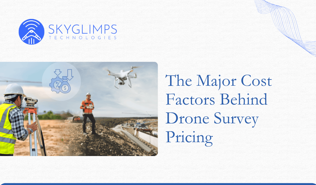
Drone surveys are more cost effective compared to manual surveys, but pricing still varies depending on several technical and operational factors. Many clients assume pricing is based only on flying time, but in reality, data processing, equipment type and deliverables have a major role. The first factor is the type of sensors used. RGB based […]
Key Drone Mapping Deliverables and What They Actually Mean
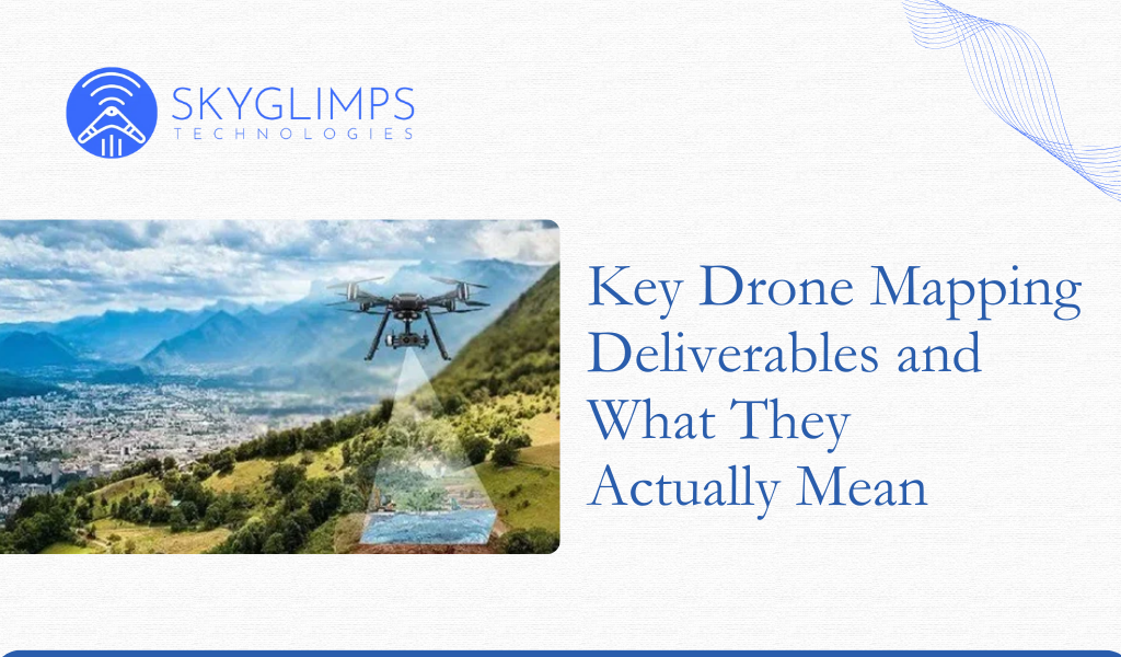
If you are planning to hire a drone service provider, you will hear terms like orthomosaic, DSM, DEM, contour and point cloud. Many decision makers are aware these deliverables are important, but not everyone knows what each one actually represents or how it is used. An orthomosaic is a distortion free aerial map stitched from […]
How Drone Data is Transforming Government Decision Making in India
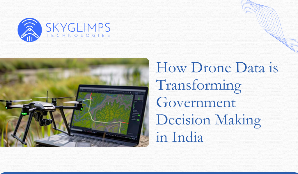
Drone data is no longer just images from the sky. It has evolved into high resolution structured intelligence that government departments across India are now depending on for operational planning, compliance, land records management and monitoring public assets. Departments that earlier relied on outdated satellite maps or manual surveys are now shifting to faster and […]
Drone Insurance and Safety Protocols Every Operator Should Know
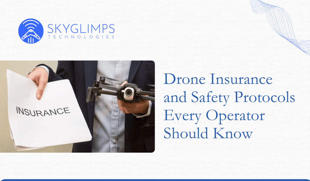
Introduction As drones become standard tools in commercial operations, risk management becomes essential. Insurance and safety protocols protect assets, operators, and clients from unexpected incidents. For many industries, insurance is not optional but a requirement for compliance and trust. Why Drone Insurance Matters Covers damage to the drone Covers third party liability in case of […]
Common Drone Flying Mistakes and How To Avoid Them

Introduction Flying drones can appear simple, but operational mistakes can lead to equipment loss, data failure, or safety violations. Whether you are a beginner or an experienced pilot, awareness of common errors helps prevent incidents and improves flight quality. Most Frequent Mistakes and Solutions 1. Flying Without Preflight Checks Skipping basic checks like propeller condition, […]
How Much Safer Are Drones Compared to Traditional Methods

Introduction Across surveying, inspections, monitoring, and documentation, drones are replacing manual and hazardous methods. Safety has become one of the strongest reasons organisations shift to drone based operations. Instead of sending personnel into risky environments, drones allow remote, automated, and precise data collection. Traditional Risks in Field Operations Field operations often expose workers to: Unstable […]
Importance of Training From a DGCA Approved RPTO
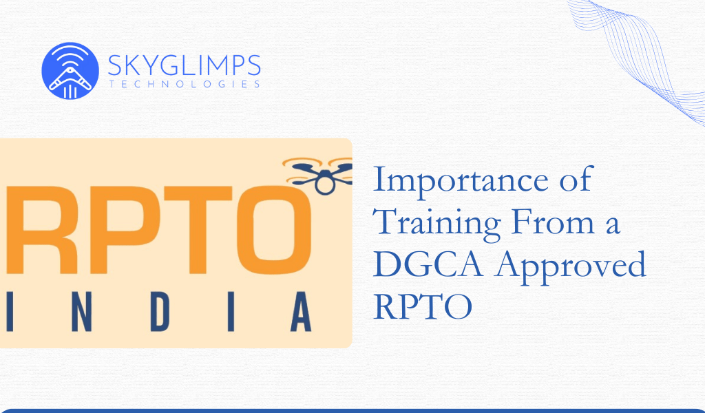
Introduction As drones move from hobby grade devices to industrial tools, proper training becomes essential. DGCA mandates formal certification for pilots operating drones above nano category. The only way to obtain this certification legally is through a DGCA approved Remote Pilot Training Organisation. Training from an authorised RPTO is not just a requirement, but a […]
How To Become a Certified Drone Pilot in India: Step by Step Guide

Introduction The drone industry in India is growing rapidly and so is the demand for skilled and certified drone pilots. With the introduction of DGCA Drone Rules and the Digital Sky platform, the process of becoming a certified pilot has become structured and accessible. Whether you want to join the industry for aerial mapping, filmmaking, […]
Why You Need a DGCA-Approved Remote Pilot Licence (RPL)
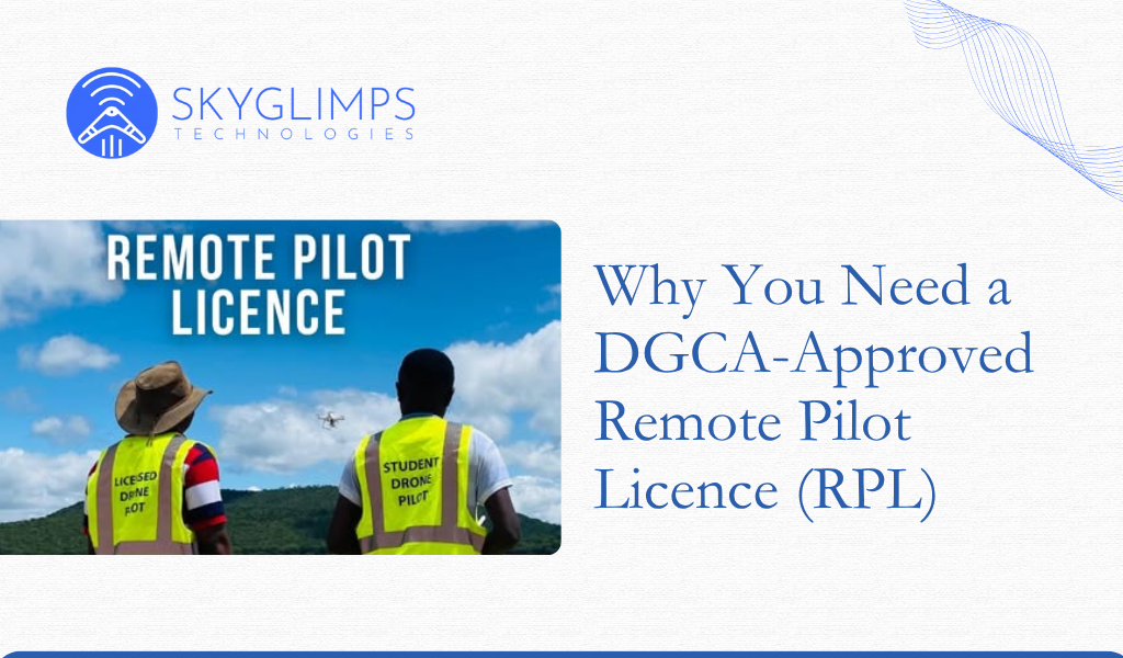
Introduction As the demand for drones grows across industries, so does the need for certified pilots. The DGCA mandates that anyone operating a drone above the Nano category must hold a valid Remote Pilot Licence (RPL). This ensures safe, skilled, and compliant operations. What Is an RPL An RPL is an official certification issued by […]