
Drone Pilot Jobs in India: Where to Find Work After DGCA Certification
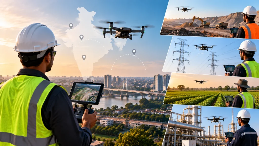
India’s drone industry is expanding across surveying, mapping, infrastructure, construction, agriculture, inspection, real estate, media, and several other sectors. As drone adoption grows, there is increasing demand for people who can safely operate drones and understand how to use aerial data for professional applications. This has made drone pilot jobs in India an increasingly relevant […]
Can You Get a DGCA Drone Licence Online? What Must Be Done in Person

As drone technology becomes more widely used across surveying, mapping, inspection, construction, agriculture, infrastructure and other industries, more people are looking for convenient ways to become qualified drone pilots. This has led to growing interest in an online drone pilot course India option. Students and working professionals often want to know whether they can complete […]
Drone Pilot Course vs Drone Operator Course: What’s the Difference?
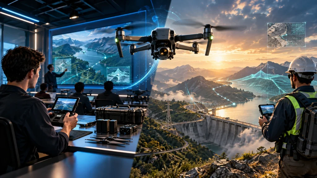
As the drone industry expands in India, more students, professionals, entrepreneurs, and businesses are looking for structured training to learn how to operate drones professionally. Two terms that frequently appear during this search are drone pilot course and drone operator course. Although these terms are sometimes used interchangeably, they can refer to different training objectives. […]
Do You Need a Drone Licence in India? Who Needs a DGCA Remote Pilot Certificate
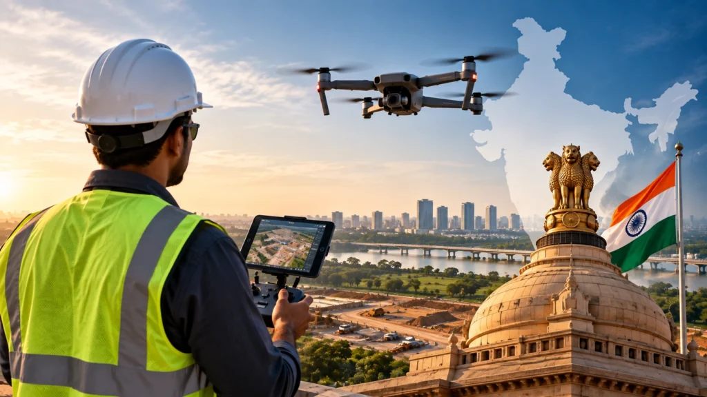
If you are asking, “Do I need a drone licence in India?”, the answer depends mainly on the type of drone you operate and how you use it. There is an important terminology point first: India no longer uses the old Remote Pilot Licence framework. The Drone (Amendment) Rules, 2022 replaced the licence terminology with […]
Drone Inspection Checklist for Industrial Assets: What to Capture and Report
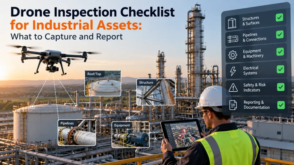
Industrial assets require regular inspection to maintain safety, reliability, and operational efficiency. However, traditional inspection methods often involve difficult access areas, safety risks, shutdown requirements, and higher operational costs. A drone inspection checklist helps inspection teams follow a structured process to capture the right visual, thermal, and technical information before preparing a final report. Drone […]
How Often Should Construction Sites Be Surveyed by Drone?
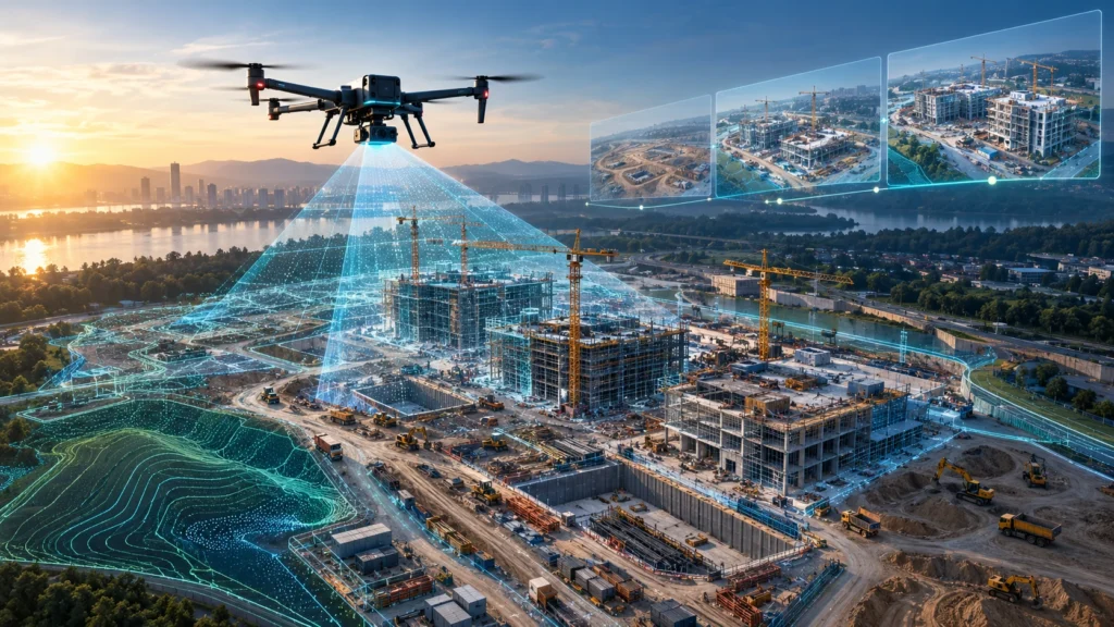
Construction drone survey frequency depends on how fast the site is changing, what the project team needs to track, and how the drone data will be used. Some construction sites need weekly drone surveys. Some need fortnightly surveys. Some only need monthly or milestone-based documentation. There is no single correct frequency for every project. A […]
Drone Survey QA/QC: How Mapping Data Is Checked Before Delivery
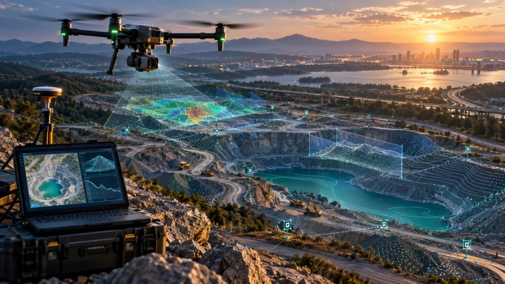
Drone survey quality control is the process of checking aerial mapping data before final delivery so that clients receive usable, accurate, complete, and project-ready outputs. A drone survey does not end when the drone lands. The real value comes from how the captured data is processed, reviewed, validated, and reported. For construction, mining, roads, canals, […]
Cut and Fill Calculation with Drone Surveys: How Earthwork Volumes Are Measured
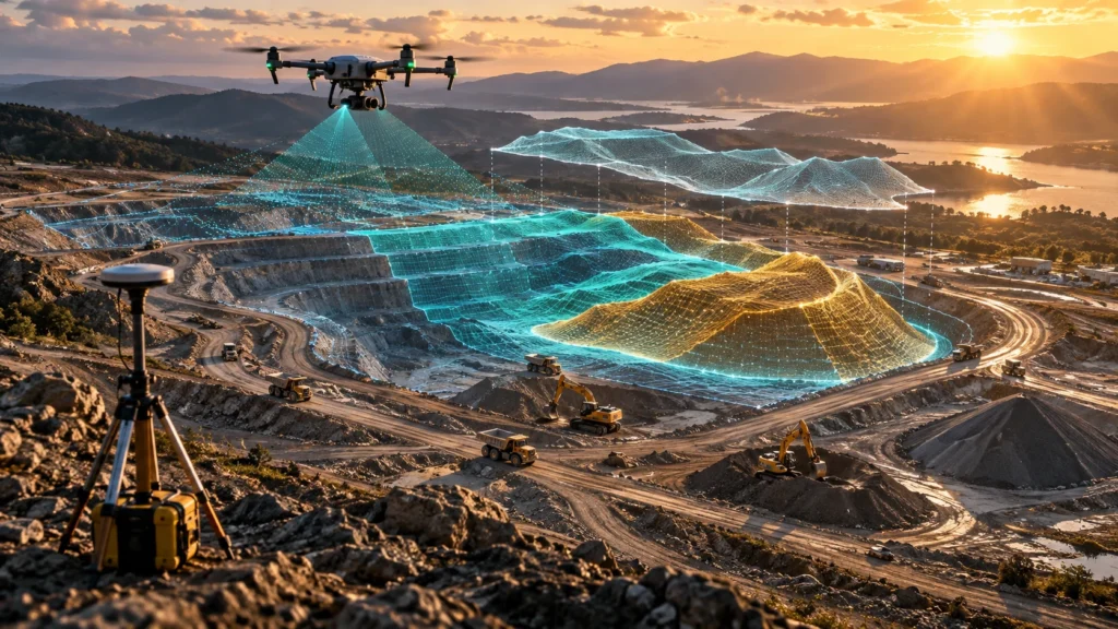
Drone cut fill calculation helps project teams measure earthwork volumes by comparing existing ground levels with a reference surface, design surface, or previous survey surface. It is used in construction, mining, roads, canals, land development, infrastructure, and site grading projects where teams need to understand how much material has been removed, added, or moved. In […]
Contour Mapping with Drones: How Aerial Data Becomes Contour Maps
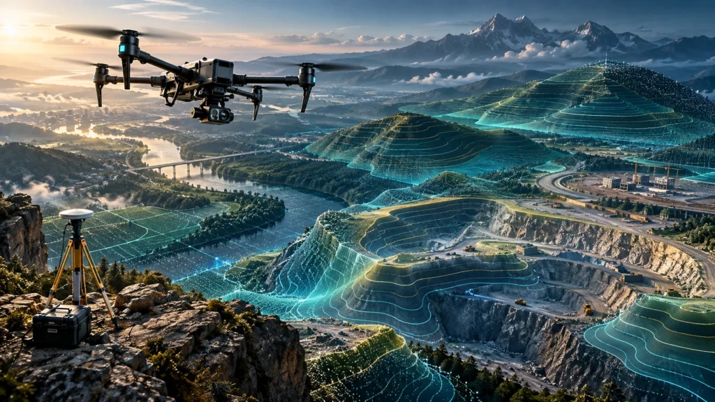
Drone contour mapping helps project teams understand ground levels, slopes, drainage patterns, embankments, excavation areas, road corridors, canal banks, and site terrain with better visual clarity. A contour map converts elevation data into lines that connect points of equal height, making it easier to read the shape of land on a 2D plan. For construction, […]
What Is Georeferencing in Drone Mapping and Why Does It Matter?
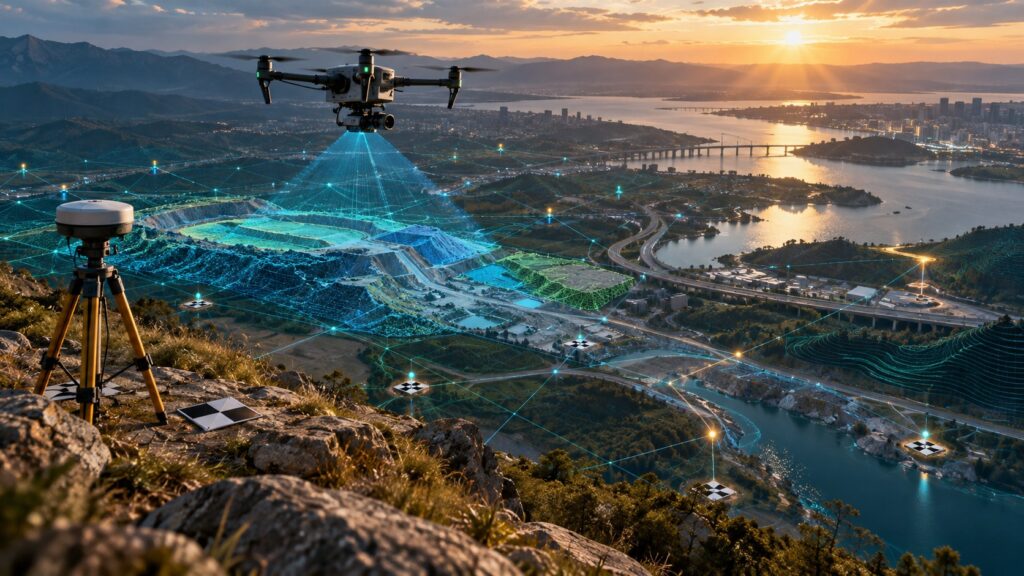
Georeferencing drone mapping is the process of connecting drone images, maps, point clouds, and elevation models to real-world coordinates. Without georeferencing, a drone image may look clear, but it may not align correctly with site boundaries, CAD drawings, GIS layers, road alignments, canal routes, utility assets, or previous survey data. For construction, mining, roads, canals, […]