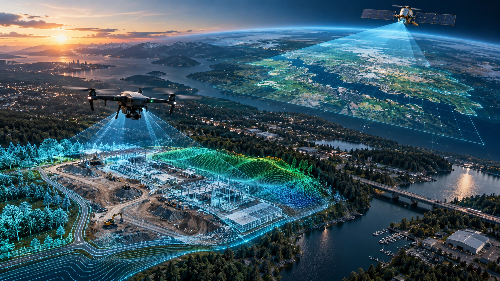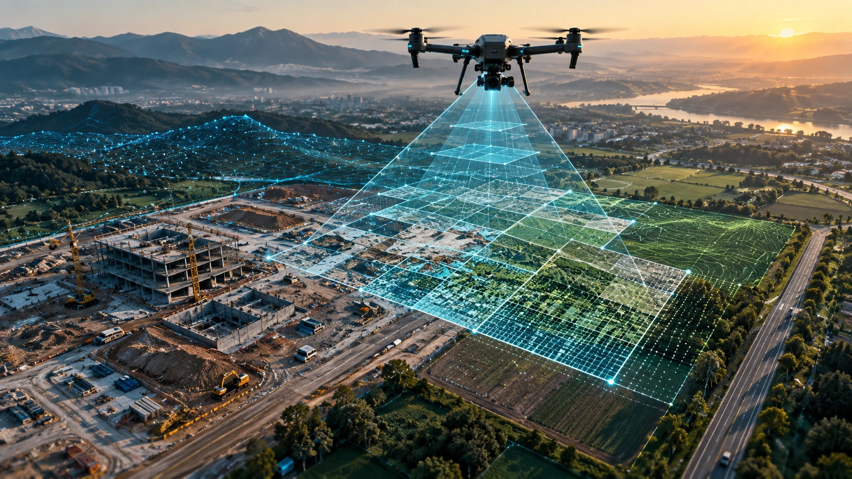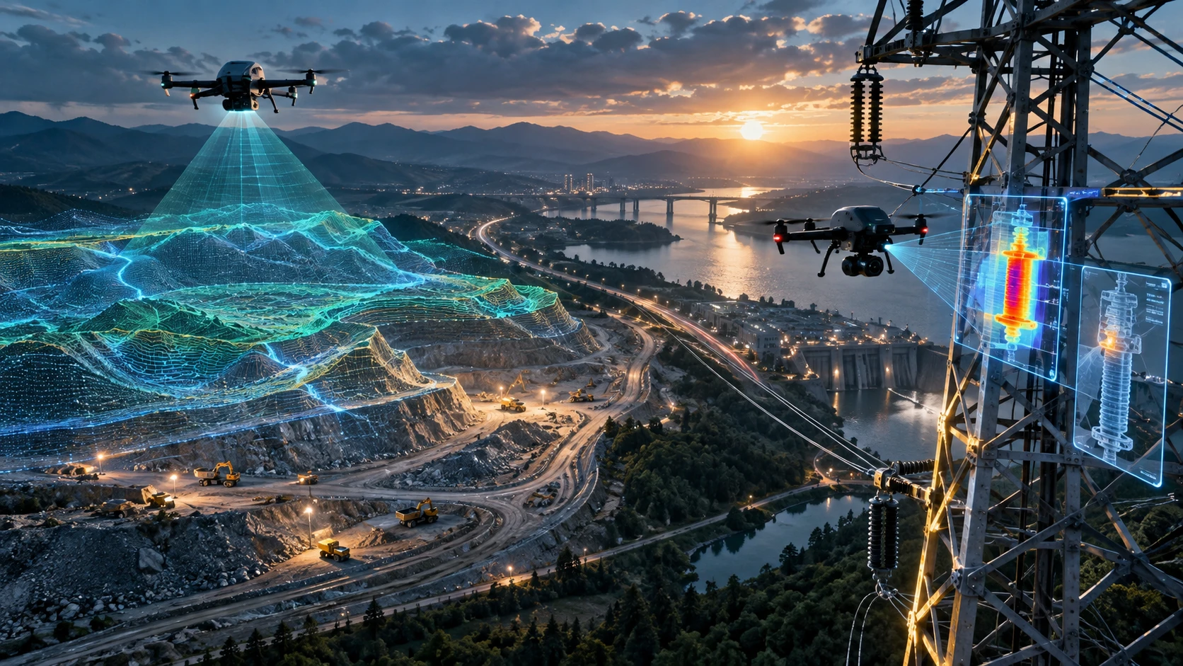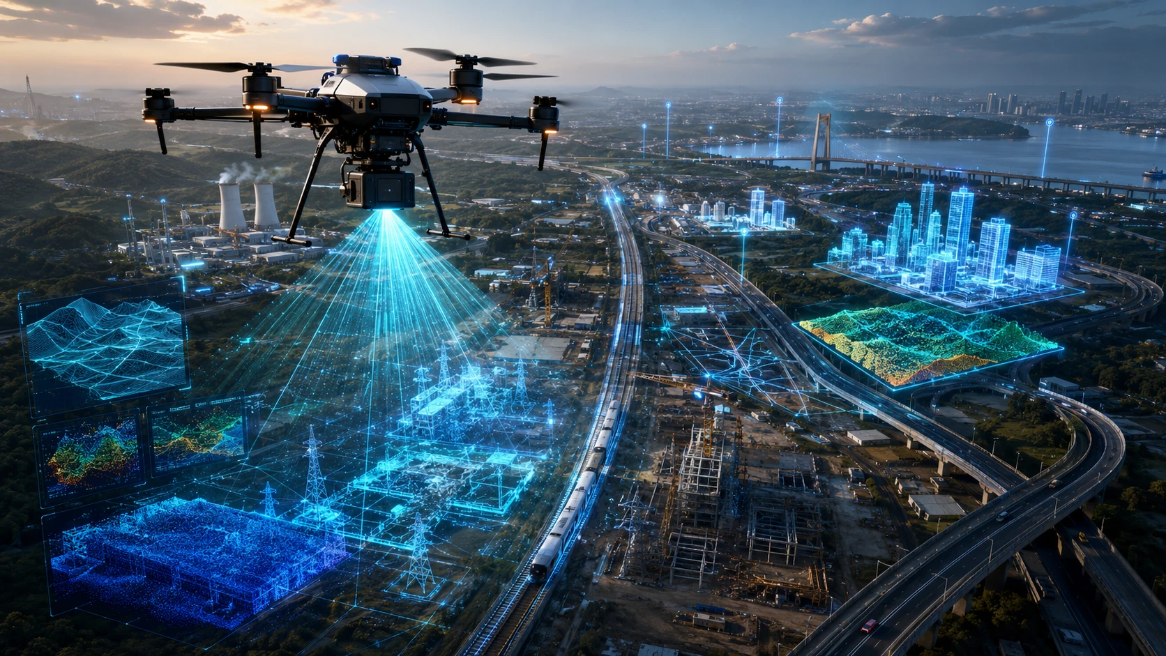
A drone LiDAR survey is changing how infrastructure mapping is planned, captured, and analysed in India. By using laser-based remote sensing from an unmanned aircraft, LiDAR can create dense 3D point cloud data of terrain, buildings, corridors, utilities, vegetation, and project sites.
For infrastructure companies, government departments, engineering consultants, mining teams, irrigation planners, and urban development authorities, this means faster field capture, better terrain visibility, and richer spatial data than conventional visual-only surveys. In Kolkata, West Bengal, and across Eastern India, drone LiDAR is becoming especially relevant for roads, canals, industrial zones, mining areas, power corridors, smart city planning, and large land development projects.
This guide explains what drone LiDAR is, how it supports infrastructure mapping, where it performs best, and how organisations should evaluate it for real projects.
What is a drone LiDAR survey?
A drone LiDAR survey uses a laser scanning sensor mounted on a drone to measure distances and create a 3D point cloud of the ground and surrounding objects. Each laser return becomes a spatial point, and millions of points together form a detailed 3D representation of the surveyed area.
LiDAR stands for Light Detection and Ranging. The sensor emits rapid laser pulses and measures how long each pulse takes to return after hitting a surface. With GPS, inertial measurement data, and post-processing, these laser returns are converted into accurate 3D coordinates.
Unlike ordinary drone photography, LiDAR does not depend only on visible imagery. It directly measures distance using laser pulses. This makes it valuable for projects where elevation, surface shape, terrain variation, asset geometry, and vegetation filtering are important.
A drone LiDAR survey can help generate:
- 3D point clouds
- Digital Elevation Models
- Digital Surface Models
- Contour maps
- Terrain profiles
- Corridor maps
- Asset models
- GIS-ready datasets
- Volumetric data
- Infrastructure planning layers
For infrastructure teams, the biggest value is that LiDAR gives measurable 3D data, not just visual images.
How is drone LiDAR different from photogrammetry?
Drone LiDAR measures surfaces using laser pulses, while photogrammetry creates 3D information by processing overlapping photographs. Photogrammetry is useful for visual mapping, while LiDAR is stronger for dense 3D measurement, vegetation filtering, and complex terrain modelling.
Both technologies are valuable, but they solve different problems.
| Factor | Drone LiDAR survey | Drone photogrammetry |
|---|---|---|
| Data source | Laser pulses | Overlapping images |
| Main output | 3D point cloud | Orthomosaic and 3D model |
| Vegetation handling | Can capture ground returns through gaps in vegetation | Often struggles under dense vegetation |
| Lighting dependency | Less dependent on sunlight | More dependent on image quality and lighting |
| Surface detail | Strong 3D structure capture | Strong visual texture |
| Best use | Terrain, corridors, forests, infrastructure, complex sites | Visual maps, progress records, open land, site imagery |
| Output style | Measurement-heavy | Visual-heavy |
Photogrammetry is often more cost-effective for open land, construction progress, and visual mapping. LiDAR becomes more valuable when the site has vegetation, uneven terrain, complex infrastructure, or a need for detailed 3D spatial data.
A professional drone survey company should not push one method for every project. The right method depends on the final use of the data.
Why is drone LiDAR important for infrastructure mapping in India?
Drone LiDAR is important for infrastructure mapping in India because many projects cover large, uneven, vegetated, congested, or difficult-to-access areas. LiDAR helps teams capture terrain and asset data faster while reducing the need for extensive manual field movement.
Infrastructure projects require reliable site understanding before design, execution, monitoring, or maintenance decisions. Roads, rail corridors, canals, bridges, transmission lines, mining sites, industrial parks, and smart city projects all need spatial clarity.
Drone LiDAR supports infrastructure mapping by helping teams understand:
- Ground elevation
- Slope and drainage behaviour
- Existing structures
- Vegetation and obstruction patterns
- Corridor alignment conditions
- Earthwork and terrain variation
- Access constraints
- Asset geometry
- Site risk zones
- Future planning requirements
In India, infrastructure sites often have mixed terrain conditions. A single project may include agricultural land, settlements, water bodies, trees, roads, embankments, industrial structures, and active work zones. LiDAR helps convert this complexity into usable spatial data.
For Eastern India, where infrastructure development may involve riverine landscapes, mining belts, power corridors, dense urban areas, and irrigation networks, drone LiDAR can provide a strong advantage in project planning and documentation.
What infrastructure projects benefit most from drone LiDAR survey?
Infrastructure projects with large areas, elevation changes, vegetation, corridors, safety risks, or complex site geometry benefit most from drone LiDAR survey. It is especially useful when decision-makers need reliable 3D terrain and asset data.
Drone LiDAR can support many project categories, including:
Road and highway mapping
Road projects require terrain profiles, alignment planning, drainage understanding, and corridor documentation. Drone LiDAR can capture long stretches of corridor data and help create elevation models and 3D mapping layers.
Railway and utility corridors
Railway lines, power transmission corridors, pipelines, and utility routes often cover long, narrow paths. LiDAR supports corridor mapping by capturing ground, structures, trees, crossings, and nearby obstructions.
Irrigation and water resource projects
Canals, embankments, river-adjacent sites, and drainage networks require terrain understanding. LiDAR data can support slope analysis, surface modelling, and planning visibility for water resource projects.
Mining and earthwork sites
Mining areas and earthwork-heavy projects need terrain models, stockpile visibility, pit monitoring, haul road documentation, and volume-related insights. LiDAR can help capture complex surfaces from above.
Smart city and urban planning
Urban infrastructure needs accurate spatial context. Drone LiDAR can support mapping of built-up areas, roads, utilities, public spaces, and development zones where 3D data improves planning.
Industrial infrastructure
Factories, warehouses, logistics parks, and industrial sites can use LiDAR for layout documentation, asset mapping, terrain modelling, and expansion planning.
For advanced spatial workflows, Skyglimps Technologies LLP provides 3D LiDAR & GIS Solutions for infrastructure, planning, and enterprise mapping use cases.
How does drone LiDAR improve speed and safety?
Drone LiDAR improves speed by capturing dense 3D data from the air and improves safety by reducing the need for field teams to physically access risky or difficult areas. This is valuable for active construction zones, industrial sites, mining areas, steep terrain, waterlogged land, and utility corridors.
Traditional ground surveys often require teams to walk across the site, place instruments, access measurement points, and work near machinery or obstacles. This can be slow or risky in complex environments.
Drone LiDAR reduces this challenge by capturing data from above. It can help teams map areas that are:
- Difficult to walk through
- Covered by vegetation
- Near water bodies
- Inside active work zones
- Close to slopes or embankments
- Spread across long corridors
- Operationally restricted
- Unsafe for repeated manual access
This does not remove the need for ground verification. Ground control and field checks remain important for many professional projects. But drone LiDAR can reduce the amount of time people spend in difficult terrain.
For project managers, the benefit is not only faster data capture. It is also better visibility, safer planning, and improved coordination between survey, engineering, execution, and management teams.
What outputs does a drone LiDAR survey provide?
A drone LiDAR survey can provide point clouds, elevation models, surface models, contours, cross-sections, terrain profiles, asset layers, and GIS-ready files. The exact outputs depend on the project objective and processing scope.
Common deliverables include:
| Deliverable | What it means | Common use |
| Point cloud | Millions of 3D data points | 3D site analysis and modelling |
| Digital Elevation Model | Ground-level terrain model | Slope, drainage, and planning |
| Digital Surface Model | Surface model including objects | Built environment and asset visibility |
| Contour map | Lines showing elevation changes | Engineering and terrain planning |
| Cross-sections | Profile views through the site | Roads, canals, corridors, embankments |
| 3D model | Visual and measurable site model | Planning, reviews, presentations |
| GIS layers | Spatial data files for mapping systems | Planning and decision workflows |
| Volume data | Surface-based quantity insight | Earthwork, mining, stockpiles |
The output should be decided before the survey begins. A project that needs only visual documentation may not need LiDAR. A project that needs terrain modelling, corridor analysis, vegetation filtering, or detailed 3D mapping may benefit significantly from it.
For projects that also require regular visual progress updates, drone-based documentation and progress tracking can support repeat monitoring alongside mapping workflows.
Is drone LiDAR better than a traditional survey?
Drone LiDAR is better than traditional surveying for fast 3D mapping of large, complex, vegetated, or difficult-to-access areas, but traditional surveying remains essential for control points, legal boundaries, and precise ground verification. The strongest infrastructure mapping workflows often combine both.
Traditional survey instruments are excellent for establishing benchmarks, control points, layout references, and legal or engineering-grade point measurements. Drone LiDAR is excellent for capturing dense 3D data across wide or complex areas.
A practical comparison:
| Requirement | Better method |
| Legal boundary demarcation | Traditional survey |
| Ground control points | Traditional survey |
| Large terrain model | Drone LiDAR survey |
| Vegetation-heavy mapping | Drone LiDAR survey |
| Long infrastructure corridor | Drone LiDAR survey with ground control |
| Engineering verification points | Traditional survey |
| Asset and terrain visualisation | Drone LiDAR survey |
| Hybrid infrastructure mapping | Drone LiDAR plus traditional survey |
The best method depends on the decision the data must support. If the project needs official boundary marking, use traditional survey methods. If the project needs fast 3D terrain and site mapping, use drone LiDAR. If the project needs both scale and control, combine them.
How should organisations prepare for a drone LiDAR project?
Organisations should prepare for a drone LiDAR project by defining the objective, site boundary, accuracy needs, deliverables, access rules, and data format requirements before the survey begins. A clear scope improves data quality and prevents rework.
Before starting, prepare the following:
- Site location and boundary
- Purpose of the survey
- Required deliverables
- Accuracy expectations
- Preferred coordinate system
- Existing survey drawings or maps
- Site access conditions
- Safety restrictions
- Permission requirements
- Expected delivery format
- Timeline and reporting needs
- Contact person at site
This preparation is important because drone LiDAR projects produce large and technical datasets. If the scope is unclear, the final output may not match the engineer’s, planner’s, or GIS team’s requirements.
For example, a road corridor project may need cross-sections and terrain profiles. A mining project may need surface models and volume insights. An urban planning project may need GIS layers and 3D context. Each use case requires a different output structure.
Why choose Skyglimps Technologies for drone LiDAR survey in India?
Skyglimps Technologies LLP is a Kolkata-based drone services company and DGCA-certified Remote Pilot Training Organisation serving government and enterprise clients across Eastern India. The company supports drone workflows across mapping, LiDAR, GIS, inspections, surveillance, documentation, and training.
Skyglimps Technologies, a DGCA-certified RPTO in Kolkata, is positioned for organisations that need structured drone mapping and spatial intelligence for infrastructure projects. For clients in Kolkata, West Bengal, and Eastern India, local coordination can be valuable when sites involve urban density, industrial operations, water bodies, agriculture, mining belts, or long infrastructure corridors.
Drone LiDAR is most effective when the survey partner understands both field operations and data delivery. The right partner should help define the scope, plan the capture, manage safety, process the data, and provide outputs that can support real project decisions.
For infrastructure, mining, terrain, corridor, and planning projects, teams can explore Skyglimps’ 3D LiDAR & GIS Solutions to discuss the right data capture and deliverable strategy.
FAQ: Drone LiDAR Survey
A drone LiDAR survey uses a laser scanner mounted on a drone to capture 3D measurements of terrain, structures, vegetation, and infrastructure. The data is processed into point clouds, elevation models, contours, and GIS-ready outputs.
Drone photography captures visual images, while LiDAR measures distance using laser pulses. Photography is strong for visual mapping; LiDAR is stronger for 3D terrain, vegetation-heavy areas, and complex infrastructure mapping
Yes. Drone LiDAR is useful for roads, rail corridors, irrigation, mining, utilities, industrial sites, urban planning, and large land development projects that need 3D terrain or asset data.
LiDAR can capture ground returns through gaps in vegetation, making it better than image-only methods for terrain mapping in vegetated areas. Dense canopy conditions can still affect results.
No. Drone LiDAR does not replace traditional surveying for legal boundaries, benchmarks, or ground control. It works best when combined with ground survey methods for professional infrastructure mapping.
Deliverables may include point clouds, DEM, DSM, contour maps, cross-sections, 3D models, GIS layers, CAD-ready files, and reports depending on the project scope.
Yes. Drone LiDAR can support infrastructure, urban planning, mining, irrigation, industrial, and utility projects across Kolkata, West Bengal, and Eastern India where terrain and site complexity require 3D data.
Plan infrastructure projects with better 3D data
Drone LiDAR survey is transforming infrastructure mapping in India because it gives project teams faster access to detailed 3D terrain and asset information. It improves planning visibility, reduces field challenges, supports safer data capture, and helps decision-makers work with richer spatial context.
For infrastructure developers, consultants, public-sector teams, mining operators, irrigation planners, industrial companies, and urban planning authorities, LiDAR can turn complex sites into usable digital data.
If your project needs 3D mapping, corridor data, terrain modelling, LiDAR point clouds, or GIS-ready infrastructure outputs in Kolkata, West Bengal, or Eastern India, connect with Skyglimps Technologies LLP through the 3D LiDAR & GIS Solutions service page and share your site location, project objective, and required deliverables.