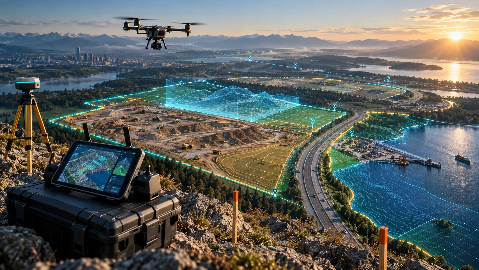
A clear drone survey scope of work helps clients, contractors, engineers, consultants, and drone survey teams agree on what will be captured, processed, checked, and delivered before the project begins. Without a defined scope, even a well-flown drone survey can lead to confusion over site coverage, accuracy, file formats, timelines, deliverables, and final report expectations.
Drone surveys can support land mapping, construction monitoring, mining volume calculation, canal mapping, road surveys, real estate planning, infrastructure documentation, and utility inspections. However, every project does not need the same workflow. A simple visual progress survey is different from a measurement-focused survey that needs GCPs, RTK, PPK, DEMs, contours, GIS files, or CAD-ready outputs.
This guide explains what clients should define in a drone survey scope of work before the first flight.
What is a drone survey scope of work?
A drone survey scope of work is a written project brief that defines the survey objective, site boundary, deliverables, accuracy needs, field requirements, timelines, reporting format, and responsibilities. It helps both the client and drone survey team work from the same expectations.
A drone survey scope of work may include:
- Project objective
- Site location and boundary
- Survey area size
- Required deliverables
- Required accuracy level
- GCP, RTK, or PPK workflow
- Flight permissions and site access
- Safety requirements
- Data processing requirements
- File formats
- Reporting structure
- Delivery timeline
- Acceptance criteria
- Exclusions and limitations
Skyglimps Technologies LLP provides 2D Surveying & Mapping for organisations that need aerial maps, orthomosaic outputs, site documentation, and survey-ready visual data for professional projects.
Why should clients define the scope before the drone flight?
Clients should define the scope before the drone flight because the final output depends on the project objective. The flight plan, image overlap, altitude, ground control, processing method, and deliverables all change based on what the client needs.
For example, a real estate developer may need aerial images and an orthomosaic map for site planning. A mining company may need stockpile volume calculation. A road contractor may need corridor mapping, contours, and cross-sections. A water-resource team may need elevation data, canal mapping, and drainage layers.
If the scope is unclear, the final report may miss important outputs. The drone team may capture visual data when the client actually needs measurement data. Or the client may expect CAD files when only a PDF report was planned.
A defined scope reduces:
- Rework
- Miscommunication
- Missing deliverables
- Timeline confusion
- Accuracy disputes
- File-format problems
- Cost escalation
- Client dissatisfaction
The best drone survey projects start with a clear decision: what should this data help the client do?
What project objective should be defined?
The project objective should clearly explain why the drone survey is being conducted and what decision the client wants to make after receiving the report. This is the foundation of the entire scope.
Common project objectives include:
| Project objective | Typical requirement |
|---|---|
| Land mapping | Orthomosaic map, boundary context, GIS files |
| Construction progress | Dated aerial images, orthomosaics, progress reports |
| Mining volume calculation | DSM, stockpile boundaries, volume table |
| Road mapping | Corridor map, DEM, contours, cross-sections |
| Canal mapping | Orthomosaic, DEM, drainage layers, bank documentation |
| Real estate planning | Site map, access review, aerial visuals |
| Utility inspection | RGB or thermal images, asset-wise findings |
| Flood-risk review | DEM, contours, low-lying area analysis |
A vague objective such as “drone survey required” is not enough. A better objective would be: “Create an orthomosaic map and contour output for a 20-acre construction site to support progress review and drainage planning.”
The clearer the objective, the easier it becomes to define deliverables and accuracy requirements.
What site details should be included in the scope?
The scope should include exact site details so the drone team can plan flight coverage, access, safety, permissions, and data processing properly. Site information affects both field execution and final pricing.
Clients should define:
- Site name
- Site address or coordinates
- District, city, and state
- Survey boundary
- Approximate area
- Terrain type
- Access roads
- Nearby obstacles
- Water bodies
- Buildings or structures
- Active machinery
- Worker movement
- Sensitive zones
- Preferred survey date and time
For large or irregular sites, the client should share a KML, KMZ, CAD boundary, site plan, or marked Google Earth reference where possible. A written location alone may not be enough.
If the site boundary is not clear before the flight, the drone may miss important areas or capture unnecessary areas. This can affect both timeline and cost.
What deliverables should clients define?
Clients should define deliverables before the survey so the drone team can capture and process the right data. Deliverables are the final files, maps, models, reports, and datasets the client will receive.
Common drone survey deliverables include:
| Deliverable | Use |
|---|---|
| Aerial images | Visual documentation |
| Drone video | Site overview and stakeholder presentation |
| Orthomosaic map | Corrected top-down site map |
| DEM | Terrain elevation analysis |
| DSM | Surface model including objects |
| Contour map | Level and slope review |
| Point cloud | 3D spatial analysis |
| 3D model | Visual site understanding |
| Cross-sections | Road, canal, slope, or corridor review |
| Volume report | Stockpile, excavation, or cut-fill calculation |
| GIS files | Planning and spatial analysis |
| CAD files | Engineering and design workflows |
| PDF report | Client and management review |
A folder of images is not the same as a professional survey deliverable. If the client needs GIS or CAD outputs, this should be written clearly in the scope.
For complex 3D, elevation, and terrain-heavy projects, Skyglimps also provides 3D LiDAR & GIS Solutions for point clouds, elevation models, and GIS-ready spatial data.
What accuracy requirement should be specified?
The scope should specify the required accuracy based on how the final data will be used. A visual documentation project does not need the same accuracy controls as an engineering, billing, or volume calculation project.
Accuracy requirements affect:
- Flight altitude
- Image overlap
- Ground control planning
- RTK or PPK workflow
- Checkpoint use
- Processing workflow
- Reporting method
- Time and cost
Clients should explain whether the data will be used for:
- Visual progress review
- Measurement
- Engineering design
- Contractor billing
- Stockpile volume calculation
- Contour generation
- DEM creation
- GIS integration
- Government or consultant reporting
If measurement matters, the scope should also define how accuracy will be checked. This may include Ground Control Points, RTK, PPK, independent checkpoints, or a hybrid workflow.
Should the scope mention GCP, RTK, or PPK?
Yes, the scope should mention whether the survey requires GCPs, RTK, PPK, checkpoints, or a combination of these methods. These workflows affect accuracy, field effort, and final data reliability.
A simple comparison:
| Method | What it means | Why it matters |
|---|---|---|
| GCP | Ground points with known coordinates | Helps align drone data to real-world positions |
| RTK | Real-time GNSS correction during flight | Improves drone positioning during capture |
| PPK | GNSS correction after flight | Useful where live correction may be unreliable |
| Checkpoints | Independent measured points | Help validate the final output |
Clients do not always need to choose the method themselves. However, they should ask the drone survey partner to recommend and document the right method.
For measurement-heavy projects, checkpoints are especially useful because they help verify whether the final output is suitable for the intended use.
What file formats should be defined?
File formats should be defined before the project starts because different teams use drone survey data in different software. A management team may need PDF reports, while engineers may need CAD files and GIS specialists may need spatial datasets.
Common file formats include:
| Format | Common use |
|---|---|
| JPG / PNG | Image previews and visual sharing |
| MP4 | Drone video |
| Final report and stakeholder review | |
| GeoTIFF | Orthomosaic, DEM, DSM, raster maps |
| KML / KMZ | Google Earth viewing |
| SHP | GIS vector layers |
| DXF / DWG | CAD and engineering use |
| LAS / LAZ | Point cloud data |
| CSV | Coordinate or finding tables |
| OBJ | 3D mesh or model output |
If the client’s consultant needs a specific coordinate system, file type, layer naming structure, or CAD standard, this should be included in the scope.
File-format mismatch can create delays even when the survey itself is good.
What site access and permissions should be clarified?
The scope should clarify site access, permissions, airspace checks, working hours, safety rules, and local coordination before the drone team reaches the site. This avoids delays during field execution.
Clients should define:
- Who will provide site access?
- Who is the site contact person?
- Are there restricted areas?
- Are workers or machines active on site?
- Are there power lines, cranes, towers, or tall structures?
- Are there nearby airports or sensitive zones?
- Are local permissions required?
- Are there no-fly or privacy concerns?
- What are the safe take-off and landing areas?
- What are the allowed working hours?
Drone operations should be planned safely and responsibly. A professional survey should not disrupt site work or create risk for people, assets, or nearby properties.
For active construction, mining, industrial, or utility sites, coordination with the site manager is essential.
What timeline should be included in the scope?
The scope should include the expected survey date, data processing time, review timeline, and final delivery date. This helps both the client and drone team plan resources properly.
A drone survey timeline may include:
- Scope finalisation
- Site boundary confirmation
- Permission and access coordination
- Field survey date
- Data backup and quality check
- Processing stage
- Draft output review
- Final report delivery
- Revision window, if included
- Data handover
Timelines depend on site size, weather, deliverables, accuracy requirements, processing complexity, and revision needs. A basic aerial documentation project may be quicker than a project requiring DEMs, contours, point clouds, and CAD-ready files.
Weather should also be considered. Wind, rain, low visibility, or unsafe site conditions may require rescheduling.
What should the final report include?
The final report should include the survey objective, site coverage, methodology, deliverables, maps, findings, accuracy notes, assumptions, limitations, and file list. It should be clear enough for both technical and non-technical stakeholders.
A professional drone survey report may include:
- Project name and location
- Survey date
- Site boundary
- Survey objective
- Flight summary
- Data capture method
- GCP, RTK, PPK, or checkpoint notes
- Orthomosaic preview
- DEM or DSM preview
- Contour preview
- Volume table, if applicable
- Inspection findings, if applicable
- File-format list
- Accuracy or quality notes
- Assumptions and limitations
- Recommended next steps
The report should not only look visually impressive. It should help the client use the data correctly.
What acceptance criteria should clients define?
Acceptance criteria define how the client will decide whether the drone survey deliverables are complete and usable. This avoids confusion after delivery.
Acceptance criteria may include:
- Full site boundary covered
- Required file formats delivered
- Maps open correctly in GIS or CAD software
- Orthomosaic has no major gaps
- DEM or DSM delivered where requested
- Contour interval matches requirement
- Volume table includes defined stockpiles
- Checkpoint or accuracy notes included
- Report includes assumptions and limitations
- Delivery completed by agreed deadline
Acceptance criteria should be practical. They should focus on whether the survey output matches the agreed scope, not on undefined expectations added after delivery.
What should be excluded from the scope?
The scope should clearly mention exclusions so both sides understand what is not included in the project. Exclusions prevent misunderstanding and uncontrolled scope expansion.
Possible exclusions include:
- Legal land boundary certification
- Cadastral survey replacement
- Soil testing
- Structural engineering certification
- Underwater depth measurement
- Hidden underground utility detection
- Detailed design work
- Regulatory approval preparation
- Additional site visits
- Extra processing beyond agreed deliverables
- Rework caused by changed client requirements
- Confidential third-party data collection
Drone survey data can support planning and documentation, but it may not replace specialised engineering, legal, geotechnical, hydrographic, or statutory services. The scope should define these boundaries clearly.
How does scope change by industry?
Drone survey scope changes by industry because each project needs different data, accuracy, and deliverables. A mining survey, canal survey, construction survey, and real estate survey should not use the same scope template without modification.
Examples include:
| Industry | Scope should focus on |
|---|---|
| Construction | Progress tracking, site maps, dated reports, work zones |
| Mining | Stockpile volumes, excavation, haul roads, cut-fill |
| Roads | Corridor coverage, cross-sections, terrain, progress |
| Canals | Waterway alignment, banks, embankments, drainage |
| Real estate | Site planning, access, land context, visual documentation |
| Utilities | Asset inspection, corridor mapping, findings, risk zones |
| Agriculture | Field mapping, crop zones, irrigation, monitoring |
For recurring monitoring, the scope should also define survey frequency, comparison method, naming convention, and reporting format.
Skyglimps supports Documentation & Progress Tracking for organisations that need dated aerial records and project-stage comparisons.
What questions should clients ask before approving a drone survey scope?
Clients should ask practical questions about deliverables, accuracy, access, safety, timeline, and reporting before approving the scope. This makes the project more predictable.
Use this checklist:
- What decision will this survey support?
- What exact area will be covered?
- What deliverables will be provided?
- What file formats will be delivered?
- Is elevation data required?
- Are contours required?
- Is volume calculation required?
- Is GIS or CAD compatibility required?
- What accuracy workflow will be used?
- Will GCPs, RTK, PPK, or checkpoints be used?
- Who will provide site access?
- What permissions are needed?
- What is the expected delivery timeline?
- What limitations will be mentioned?
- What is excluded from the scope?
A client who answers these questions before the flight is more likely to receive a useful final report.
Why choose Skyglimps Technologies for drone survey projects?
Skyglimps Technologies LLP is a Kolkata-based drone services company and DGCA-certified Remote Pilot Training Organisation serving government and enterprise clients across Eastern India. The company supports drone-enabled workflows across surveying, mapping, LiDAR, GIS, inspections, documentation, surveillance, and training.
Skyglimps Technologies, a DGCA-certified RPTO in Kolkata, is positioned for organisations that need structured aerial data and professional survey outputs for construction, mining, roads, irrigation, real estate, utilities, urban planning, and infrastructure projects.
For projects in Kolkata, West Bengal, Jharkhand, Odisha, and Eastern India, local coordination can help improve site scoping, field execution, safety planning, repeat monitoring, and reporting clarity.
A drone survey scope of work should be defined before the flight so the final output matches the client’s real requirement.
FAQ: Drone Survey Scope of Work
A drone survey scope of work is a written brief that defines the project objective, site area, deliverables, accuracy needs, access, timeline, file formats, and reporting requirements.
Scope is important because the flight plan, accuracy method, processing workflow, timeline, and final deliverables depend on what the client needs from the survey.
Deliverables may include aerial images, orthomosaic maps, DEMs, DSMs, contours, point clouds, 3D models, volume reports, GIS files, CAD files, and PDF reports.
Yes. Accuracy requirements should be defined if the survey will support measurement, engineering, volume calculation, GIS, CAD, billing, or official project reporting.
Site access and local permissions are usually coordinated with the client or site owner. Airspace and operational checks should be handled by the drone team as applicable.
Clients may ask for PDF, GeoTIFF, KML, KMZ, SHP, DXF, DWG, LAS, LAZ, CSV, JPG, PNG, MP4, or other formats depending on their workflow.
It can be changed, but additional deliverables, new areas, higher accuracy needs, or extra processing may require revised timelines, cost, and fieldwork.
Define the scope before the drone takes off
A drone survey scope of work helps clients avoid confusion and ensures the final report matches the project requirement. Before starting, define the site boundary, objective, deliverables, accuracy method, file formats, access plan, timeline, reporting needs, and exclusions.
The clearer the scope, the better the final output. A properly scoped drone survey can support planning, measurement, progress tracking, inspection, GIS workflows, CAD coordination, and stakeholder reporting.
If your organisation needs orthomosaic maps, DEMs, contours, GIS-ready files, CAD-ready outputs, volume reports, or professional drone survey documentation in Kolkata, West Bengal, or Eastern India, connect with Skyglimps Technologies LLP through the 2D Surveying & Mapping service page and share your site location, survey objective, accuracy requirement, and required deliverables.