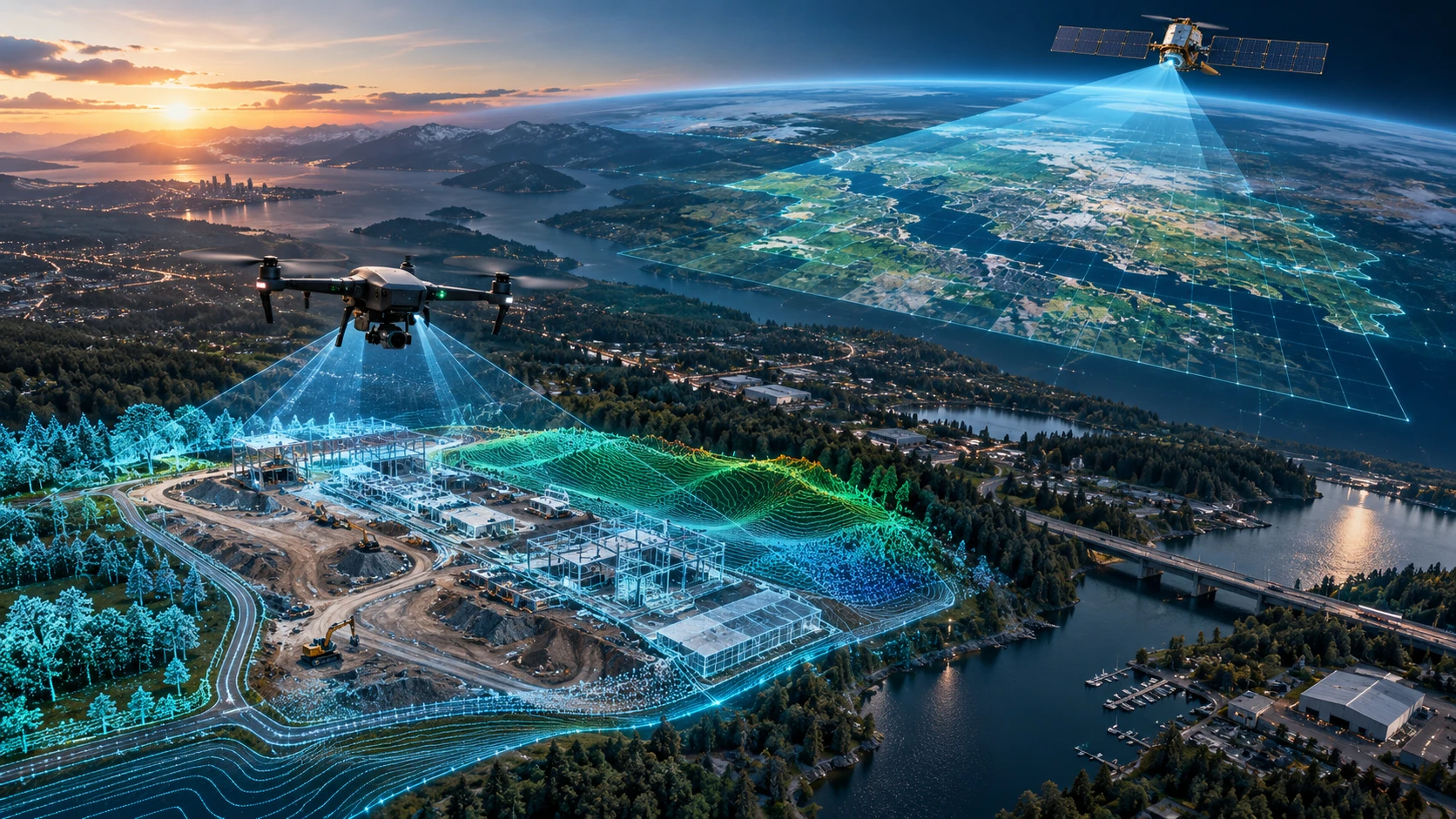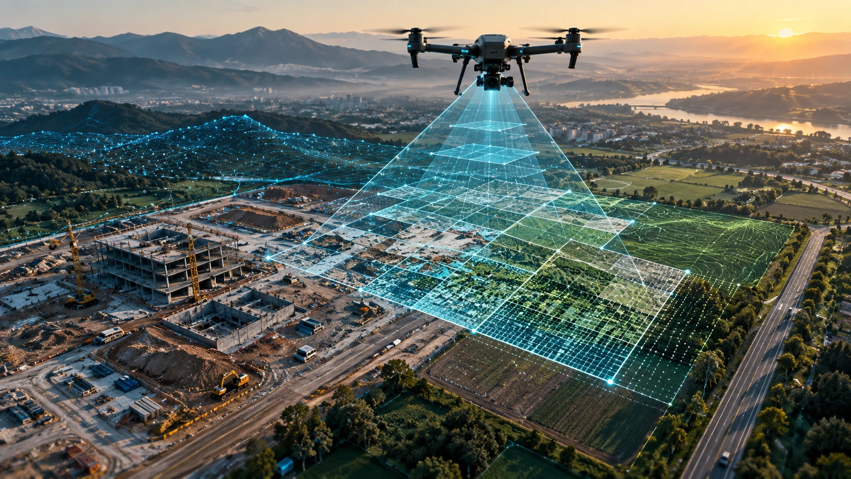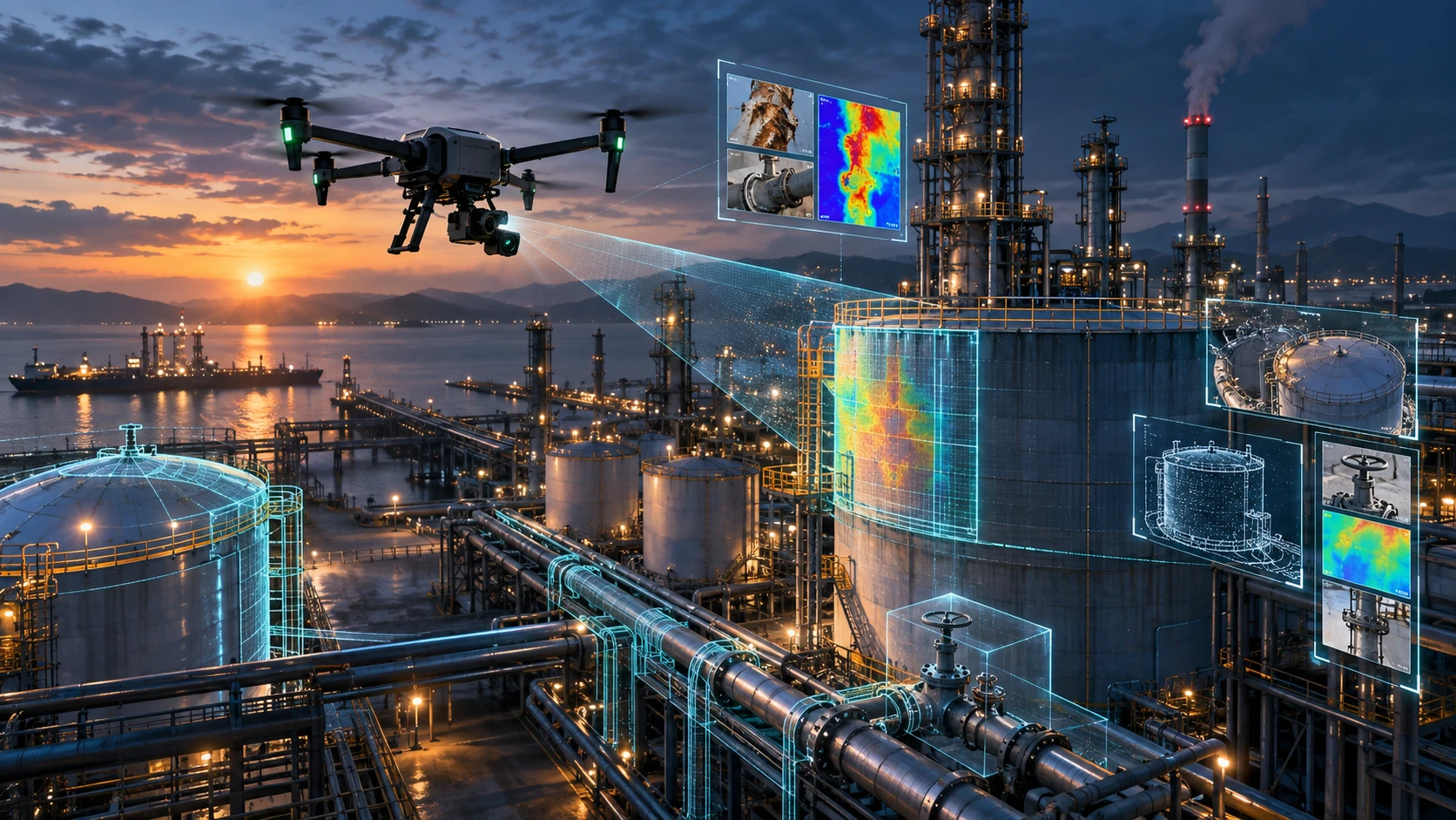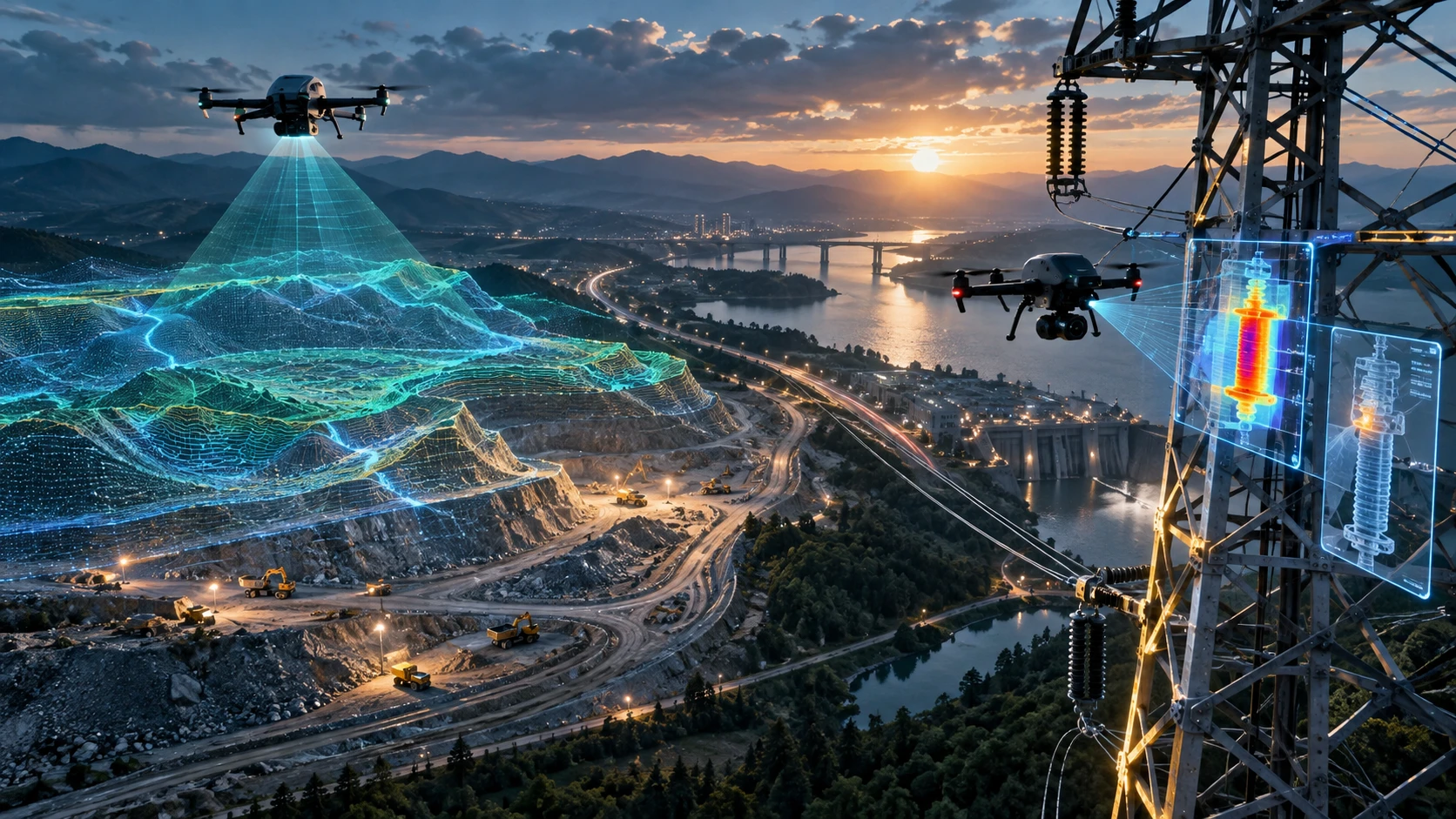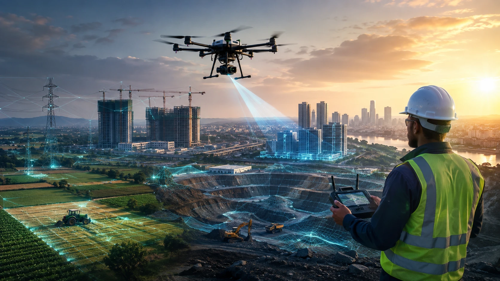
The demand for skilled drone professionals is growing rapidly across multiple sectors in India. Industries hiring drone pilots are no longer limited to photography or entertainment. Today, certified drone pilots are working in surveying, infrastructure, agriculture, mining, utilities, construction, real estate, disaster management, and government projects.
A DGCA-certified drone pilot combines flying skills with technical knowledge, safety awareness, and industry-specific capabilities. Companies are increasingly looking for professionals who can capture reliable aerial data, operate drones safely, and support business decisions through mapping, inspection, and documentation.
For someone starting a drone career, understanding where opportunities exist is important. Drone certification is only the beginning. The next step is choosing an industry where your skills can create value.
This guide explains the top industries hiring drone pilots in India and what skills help candidates build successful careers.
Why are industries hiring DGCA-certified drone pilots?
Industries are hiring DGCA-certified drone pilots because drones help organisations collect faster, safer, and more detailed aerial data for operations and decision-making.
Traditional inspection and surveying methods often require more manpower, longer field time, and difficult access conditions. Drones help organisations capture aerial information while reducing risks associated with working at heights, remote locations, or large project areas.
Certified drone pilots are needed because professional operations require more than flying a drone. Companies need pilots who understand:
- Flight planning
- Safety procedures
- Airspace awareness
- Data collection methods
- Survey requirements
- Inspection workflows
- Reporting standards
- Industry-specific applications
The strongest career opportunities come when pilots combine DGCA certification with additional skills such as GIS, mapping, photogrammetry, thermal inspection, or project documentation.
Which industries hire drone pilots in India?
The major industries hiring drone pilots in India include surveying, construction, agriculture, mining, infrastructure, power utilities, real estate, government projects, and environmental monitoring.
Different industries use drones for different purposes. Some need visual inspection, while others require advanced mapping and data analysis.
| Industry | Drone applications |
|---|---|
| Surveying and mapping | Land mapping, orthomosaics, GIS data, terrain models |
| Construction | Progress monitoring, site documentation, 3D modelling |
| Agriculture | Crop monitoring, spraying, field analysis |
| Mining | Stockpile measurement, volume calculation, site mapping |
| Power utilities | Tower inspection, thermal inspection, corridor mapping |
| Real estate | Site planning, marketing visuals, documentation |
| Roads and highways | Corridor surveys and progress tracking |
| Irrigation and water resources | Canal mapping, embankment inspection |
| Government projects | Land records, infrastructure monitoring, surveys |
| Disaster management | Damage assessment and risk mapping |
A pilot who understands these applications has more career options than someone who only knows basic drone operation.
How can drone pilots build a career in surveying and mapping?
Surveying and mapping is one of the strongest career paths for drone pilots because industries need accurate aerial data for planning, measurement, and documentation.
Drone survey pilots work with:
- Land developers
- Survey companies
- Infrastructure contractors
- Engineering consultants
- Government departments
- GIS organisations
Common survey projects include:
- Land parcel mapping
- Topographic surveys
- Orthomosaic creation
- Digital elevation models
- Contour mapping
- Road corridor surveys
- Canal and waterway mapping
- Mining surveys
- Construction site mapping
A survey pilot needs more than flying skills. They should understand:
- Image overlap
- Ground control points
- Coordinate systems
- Photogrammetry
- GIS basics
- Survey reports
- Data quality checks
For learners interested in this field, Skyglimps provides DGCA-certified drone training along with industry-focused drone applications.
How are construction companies hiring drone pilots?
Construction companies hire drone pilots to monitor project progress, document site conditions, and create accurate records of development activities.
Large construction projects require regular monitoring. Drone pilots help teams capture updated site information without depending only on manual photography.
Construction drone applications include:
- Site progress tracking
- Excavation monitoring
- Building documentation
- Material stock monitoring
- Safety reviews
- Earthwork assessment
- Contractor progress verification
- Client reporting
A construction drone pilot should understand:
- Mapping flights
- Progress comparison
- 3D models
- Orthomosaic maps
- Site documentation
- Reporting workflows
Construction companies increasingly value pilots who can provide usable project data instead of only aerial videos.
How are agriculture companies hiring drone pilots?
Agriculture is one of the fastest-growing areas where drone pilots can find opportunities, especially for crop monitoring, spraying, and farm analysis.
Agricultural drone operations require pilots who understand field conditions and responsible drone use.
Drone applications in agriculture include:
- Crop monitoring
- Field mapping
- Spray operations
- Plant health analysis
- Irrigation planning support
- Agricultural surveys
- Farm documentation
Pilots working in agriculture should understand:
- Field planning
- Battery management
- Weather conditions
- Crop stages
- Safe chemical application practices where applicable
- Data collection methods
Government initiatives and agricultural programmes are also increasing awareness of drone-based farming solutions in India.
How are mining companies hiring drone pilots?
Mining companies hire drone pilots for mapping, stockpile measurement, volume calculations, and regular site documentation.
Mining sites are large and often difficult to monitor manually. Drone pilots help capture updated site conditions and support operational planning.
Mining drone applications include:
- Stockpile volume calculation
- Quarry mapping
- Excavation monitoring
- Terrain modelling
- Haul road documentation
- Safety area monitoring
- Progress comparison
Mining-focused drone pilots benefit from learning:
- Photogrammetry
- LiDAR basics
- Point clouds
- Volume calculation workflows
- GIS software
- Survey reporting
Mining is a specialised field where technical knowledge can significantly improve career opportunities.
How are power and utility companies hiring drone pilots?
Power utilities hire drone pilots for inspection, mapping, and maintenance support of electrical infrastructure.
Power-line inspection can involve difficult terrain, towers, and large corridor networks. Drones help capture visual and thermal information that supports maintenance decisions.
Applications include:
- Transmission tower inspection
- Distribution line inspection
- Thermal inspection
- Vegetation monitoring
- Corridor mapping
- Asset documentation
- Infrastructure assessment
Pilots working in utilities should understand:
- RGB inspection workflows
- Thermal imaging basics
- Safety around electrical infrastructure
- Corridor mapping
- Asset reporting
For pilots interested in infrastructure inspection, specialised skills can create stronger career opportunities.
How are real estate companies hiring drone pilots?
Real estate companies hire drone pilots for site documentation, project marketing, planning, and construction monitoring.
Real estate drone work includes both creative and technical applications.
Common projects include:
- Land parcel visuals
- Property walkthrough videos
- Site progress updates
- Construction documentation
- Location analysis
- Aerial marketing content
However, professional real estate drone pilots need to understand that enterprise clients often require structured deliverables, not just promotional footage.
Useful skills include:
- Aerial photography
- Video planning
- Mapping basics
- Site documentation
- Editing knowledge
- Client communication
How are government organisations using drone pilots?
Government organisations use drone pilots for surveying, land mapping, infrastructure monitoring, agriculture, disaster management, and public-service projects.
Drone adoption in government projects has increased significantly because aerial data helps improve transparency and planning.
Government-related drone applications include:
- Land surveys
- Property mapping
- Road monitoring
- Infrastructure inspection
- Disaster assessment
- Agriculture monitoring
- Water-resource mapping
Programmes such as SVAMITVA have used drone surveys for rural property mapping and GIS-based land records.
Government projects often require pilots who understand compliance, documentation, and professional reporting.
What skills increase job opportunities for drone pilots?
Drone pilots with additional technical skills have better career opportunities because companies need professionals who can deliver complete solutions.
Important skills include:
| Skill | Career benefit |
| DGCA certification | Professional operating eligibility |
| GIS knowledge | Helps manage spatial data |
| Photogrammetry | Enables mapping workflows |
| LiDAR understanding | Supports advanced 3D surveys |
| Thermal inspection | Opens utility and industrial opportunities |
| CAD basics | Helps work with engineers |
| Data processing | Improves deliverable quality |
| Reporting | Helps communicate findings |
| Industry knowledge | Improves project understanding |
A pilot who can fly, capture, process, and explain drone data becomes much more valuable.
How can beginners enter drone pilot careers?
Beginners can enter drone careers by completing certification, gaining practical experience, building a portfolio, and choosing a specialised industry.
A practical career roadmap:
Step 1: Complete DGCA-approved training
Start with an authorised training pathway and understand drone rules, safety, and operations.
Step 2: Practice flying
Build confidence with different flight conditions and mission types.
Step 3: Learn industry skills
Choose an area such as:
- Surveying
- Mapping
- Agriculture
- Inspection
- Construction
- Real estate
Step 4: Build a portfolio
Create sample:
- Maps
- Reports
- Inspection outputs
- Videos
- Progress records
Step 5: Gain field exposure
Work with experienced teams and understand real project requirements.
Step 6: Continue learning
Drone technology changes quickly. Continuous learning improves career growth.
What mistakes should new drone pilots avoid?
New drone pilots often make mistakes by focusing only on flying and ignoring data, safety, and industry requirements.
Common mistakes include:
- Learning only basic controls
- Ignoring regulations
- Not understanding survey workflows
- Not building a portfolio
- Avoiding software learning
- Overpromising accuracy
- Not documenting projects
- Not specialising in an industry
A successful drone career requires combining aviation skills with professional knowledge.
How can Skyglimps help start a drone career?
Skyglimps Technologies LLP is a Kolkata-based drone services company and DGCA-certified Remote Pilot Training Organisation serving learners and organisations across Eastern India.
The company supports drone training and professional drone applications across:
- Surveying
- Mapping
- LiDAR
- GIS
- Inspections
- Documentation
- Infrastructure projects
Skyglimps Technologies, a DGCA-certified RPTO in Kolkata, helps learners understand not only drone certification but also how drones are used in real industries.
For students in Kolkata, West Bengal, and Eastern India, professional training combined with industry knowledge can help create stronger career opportunities.
FAQ: Industries Hiring Drone Pilots
Industries hiring drone pilots include surveying, construction, agriculture, mining, power utilities, real estate, infrastructure, government projects, and disaster management.
Yes. Drone surveying offers opportunities across mapping, infrastructure, construction, mining, and government projects where aerial data is required.
Pilots should learn mapping, GIS, photogrammetry, inspection workflows, reporting, and industry-specific applications.
Yes. Government organisations use drones for land mapping, infrastructure monitoring, agriculture, disaster management, and public-service projects.
Many companies hire beginners for assistant or trainee roles. Practical skills and a strong portfolio improve opportunities.
Demand varies by region and skill set, but surveying, infrastructure inspection, agriculture, and construction are major application areas.
Certification is the foundation. Career growth also depends on technical skills, practical experience, software knowledge, and industry understanding.
Build your future in the drone industry
The drone industry in India is expanding across multiple sectors. A DGCA-certified drone pilot can explore opportunities beyond flying by developing mapping, inspection, GIS, and data-processing skills.
The best career path depends on your interests. Whether you choose surveying, construction, agriculture, utilities, mining, or real estate, combining certification with practical expertise creates stronger professional opportunities.
If you want to start your drone career with structured training, explore Skyglimps Technologies LLP’s DGCA-certified drone training programmes and understand how drone skills connect with real industry applications.