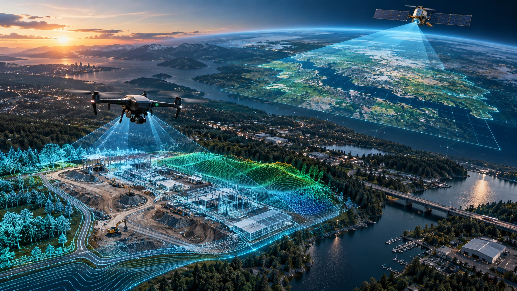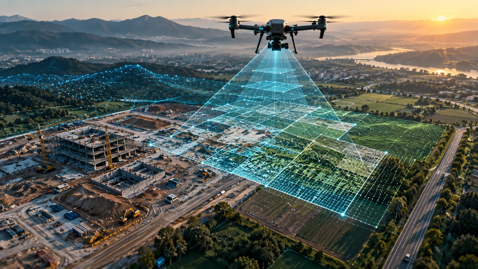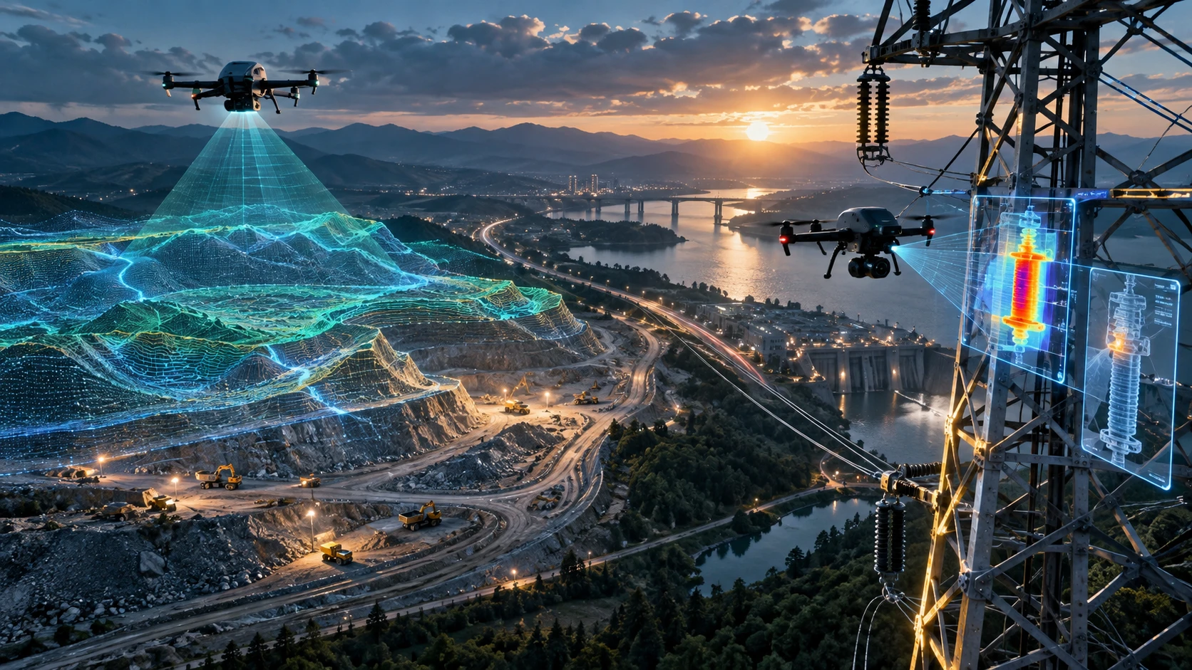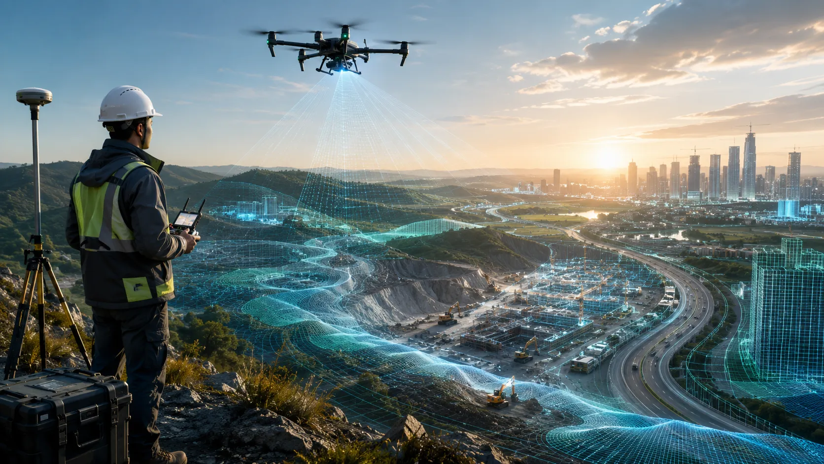
A career in drone surveying can be a strong path for certified drone pilots who want to work in mapping, infrastructure, mining, construction, roads, irrigation, real estate, power utilities, and land-development projects. After DGCA certification, the next step is not only to fly drones better. It is to learn how drone data is captured, processed, interpreted, and delivered for real survey projects.
Many new pilots assume that getting a Remote Pilot Certificate is the final goal. In reality, certification is the starting point. Drone surveying requires field discipline, mapping knowledge, software exposure, safety awareness, reporting skills, and project understanding.
This guide explains how to start a drone surveying career after DGCA certification and what skills you should build to become useful on professional mapping projects.
What is a career in drone surveying?
A career in drone surveying involves using drones to capture aerial data for maps, measurements, terrain models, inspection records, progress reports, and GIS-ready outputs. It combines drone flying with surveying, mapping, data processing, and project documentation.
Drone surveying work may include:
- Land mapping
- Construction progress surveys
- Road and highway mapping
- Mining and quarry surveys
- Stockpile volume calculation
- Canal and waterway mapping
- Real estate site planning
- Agriculture and forestry mapping
- Power corridor mapping
- Digital elevation model creation
- Orthomosaic map generation
- GIS and CAD file preparation
A drone survey pilot is different from a casual drone flyer. The pilot must capture data in a planned way so that the final output can be processed into usable survey deliverables.
Skyglimps Technologies LLP offers a Drone Mapping & Surveying Course for learners who want to understand how drones are used in real mapping and survey workflows.
Why is DGCA certification only the first step?
DGCA certification proves that a pilot has completed the recognised training pathway for eligible drone operations, but it does not automatically make someone a professional drone survey specialist. Surveying requires additional technical and project skills.
A Remote Pilot Certificate helps you enter the professional drone ecosystem. However, survey clients expect more than safe take-off and landing. They expect data that can be measured, checked, processed, and used by engineers, planners, contractors, or government teams.
After certification, you should build skills in:
- Survey flight planning
- Mapping mission setup
- Image overlap and altitude planning
- Ground control basics
- Orthomosaic creation
- DEM and DSM understanding
- Contour map interpretation
- GIS file handling
- Data quality checks
- Field reporting
- Client communication
Certification gives you permission and credibility. Surveying skill gives you employability.
What skills are needed for drone surveying?
Drone surveying requires a mix of flying skill, mapping knowledge, software understanding, field discipline, and reporting ability. The more complete your skill set, the more useful you become to employers and clients.
Important skills include:
| Skill area | Why it matters |
|---|---|
| Drone handling | Helps capture safe and stable field data |
| Mission planning | Ensures correct coverage, altitude, and overlap |
| Photogrammetry basics | Helps convert images into maps and 3D models |
| Ground control awareness | Improves accuracy and survey confidence |
| GIS basics | Helps organise and analyse spatial data |
| CAD awareness | Helps work with engineering teams |
| Report writing | Helps convert data into client-ready outputs |
| Safety planning | Reduces field and operational risk |
| Site coordination | Helps work with contractors and project teams |
| Quality checking | Prevents unusable or incomplete survey data |
You do not need to master everything on day one. But you should understand how drone flying connects with the final output. A good survey pilot thinks beyond the drone and focuses on the deliverable.
What should you learn after DGCA certification?
After DGCA certification, you should learn drone mapping workflows, survey deliverables, basic GIS, photogrammetry, field data collection, and client reporting. These skills help you move from certified pilot to employable survey professional.
Start with these learning areas:
- Orthomosaic mapping: Learn how overlapping drone images become corrected top-down maps.
- DEM and DSM basics: Understand terrain and surface models.
- Contour maps: Learn how elevation data is converted into contour lines.
- Point clouds: Understand 3D survey data from photogrammetry or LiDAR.
- GCP and checkpoints: Learn why ground control improves survey reliability.
- Volume calculation: Understand stockpile, excavation, and cut-fill workflows.
- GIS file formats: Learn KML, SHP, GeoTIFF, DXF, and other common outputs.
- Field documentation: Learn how to record site conditions, flight notes, and limitations.
- Survey reporting: Learn how to create a simple, professional final report.
- Industry use cases: Study how mapping differs across mining, roads, real estate, and irrigation.
A career in drone surveying grows faster when you learn both field capture and data processing.
Which industries hire drone survey pilots?
Drone survey pilots are hired by companies and project teams that need aerial mapping, measurement, monitoring, documentation, and GIS-ready site data. The demand is strongest where large sites or linear infrastructure need frequent visibility.
Industries that use drone surveying include:
- Construction
- Roads and highways
- Mining and quarrying
- Real estate development
- Irrigation and water resources
- Agriculture and forestry
- Power and utilities
- Urban planning
- Smart city projects
- Industrial infrastructure
- Environmental monitoring
- Government project documentation
For example, a mining company may need stockpile volume reports. A road contractor may need corridor mapping. A developer may need site progress records. A water-resource department may need canal and embankment mapping.
Drone surveying is not one single job. It is a skill set used across multiple industries.
What entry-level roles can a certified pilot target?
A certified pilot can start with entry-level roles such as drone survey assistant, mapping pilot, field data capture operator, GIS support trainee, or drone operations executive. These roles help build project exposure before handling complex surveys independently.
Possible early roles include:
| Role | Main responsibility |
| Drone survey assistant | Supports field capture and site documentation |
| Mapping drone pilot | Flies planned mapping missions |
| Field data operator | Handles flight logs, images, and site notes |
| GIS trainee | Supports map layers and file organisation |
| Photogrammetry trainee | Helps process images into maps and models |
| Drone operations executive | Coordinates pilots, permissions, and deliverables |
| Inspection support pilot | Captures RGB or thermal inspection data |
| Project documentation pilot | Captures recurring progress records |
At the beginning, the goal should be field exposure. Work with experienced survey teams, understand client requirements, and learn how small mistakes during data capture can affect final deliverables.
How can beginners build a drone surveying portfolio?
Beginners can build a drone surveying portfolio by documenting practice projects, sample maps, orthomosaics, terrain outputs, progress records, and simple reports. A portfolio proves that you understand the workflow, not just the drone controls.
A beginner portfolio may include:
- Sample orthomosaic map
- Aerial site documentation
- Small land parcel mapping
- Construction progress comparison
- Basic DEM or DSM output
- Contour map sample
- Before-after visuals
- Simple volume calculation exercise
- Flight plan screenshots
- Final PDF report sample
Avoid showing confidential client data without permission. Use training projects, practice datasets, or approved sample work.
A strong portfolio should answer three questions:
- What was the survey objective?
- How was the data captured?
- What final deliverable was created?
This helps employers see that you understand the complete survey workflow.
What software should drone survey professionals learn?
Drone survey professionals should learn basic photogrammetry, GIS, CAD viewing, report preparation, and file-management tools. The exact software depends on the employer, project type, and deliverables.
Software learning areas include:
- Drone mission planning tools
- Photogrammetry processing software
- GIS software
- CAD viewing or drafting tools
- Point cloud viewing tools
- PDF report preparation tools
- Spreadsheet tools for volume or asset tables
- Cloud file-sharing and data-management tools
The key is not to memorise one software name. The key is to understand what the software is doing.
You should know how images become an orthomosaic, how elevation data becomes contours, how coordinates are stored, how layers are exported, and how final files are shared with clients.
How important is field experience in drone surveying?
Field experience is extremely important because drone surveying happens in real project environments with weather, terrain, access, safety, permissions, and client coordination challenges. Classroom learning alone is not enough.
Field conditions may include:
- Wind and changing weather
- Dust and heat
- Construction equipment
- Restricted access areas
- Waterlogged land
- Vegetation
- Moving vehicles
- Public movement
- Long corridors
- Battery and charging limitations
- Network and GPS constraints
- Permission and safety briefings
A professional survey pilot must stay calm and systematic. Before each flight, the pilot should check site safety, battery status, weather, airspace, flight plan, take-off area, emergency response, and data storage.
Field discipline is what separates a reliable survey pilot from a hobby flyer.
How can drone pilots move from flying to surveying?
Drone pilots can move from flying to surveying by learning how each flight supports a final mapping or measurement deliverable. The mindset must shift from “capture good footage” to “capture usable survey data.”
To make that shift, focus on:
- Flying planned grid missions
- Maintaining correct image overlap
- Capturing consistent altitude data
- Avoiding blurred or incomplete images
- Understanding site boundaries
- Using ground control where required
- Recording flight and site notes
- Checking data before leaving the site
- Understanding processing requirements
- Reviewing final reports after processing
A common beginner mistake is leaving the site without confirming whether the captured data is complete. In drone surveying, missing coverage can mean the team has to revisit the site.
Good pilots review image count, coverage, battery logs, and obvious data gaps before closing the fieldwork.
What mistakes should beginners avoid?
Beginners should avoid treating drone surveying like normal aerial photography. Survey work needs planning, repeatability, accuracy awareness, and careful data handling.
Common mistakes include:
- Flying without a clear survey objective
- Ignoring image overlap
- Capturing incomplete site coverage
- Flying at inconsistent altitude
- Not checking weather and wind
- Ignoring airspace restrictions
- Not using GCPs or checkpoints when needed
- Mixing up raw data folders
- Deleting flight logs too early
- Delivering only photos when maps are required
- Overpromising accuracy
- Not explaining limitations to the client
A survey pilot should never guess technical claims. If the project requires engineering-grade outputs, involve the right surveyor, GIS specialist, or project lead.
How can Skyglimps help students start a drone surveying career?
Skyglimps Technologies LLP is a Kolkata-based drone services company and DGCA-certified Remote Pilot Training Organisation that supports learners and organisations across Eastern India. The company works across drone training, surveying, mapping, LiDAR, GIS, inspections, documentation, surveillance, and related drone applications.
Skyglimps Technologies, a DGCA-certified RPTO in Kolkata, is positioned for learners who want to understand both certification and industry use cases. For students in Kolkata, West Bengal, and Eastern India, this can be useful because drone surveying often connects with local infrastructure, water resources, mining, real estate, utilities, and construction projects.
A career in drone surveying becomes stronger when a learner combines certification with mapping practice, survey workflow knowledge, software exposure, and real project understanding.
FAQ: Career in Drone Surveying
Start with DGCA certification where required, then learn drone mapping, orthomosaic creation, DEMs, contours, GIS basics, field planning, and survey reporting.
No. DGCA certification is an important starting point, but drone surveying also requires mapping knowledge, field experience, data processing, and reporting skills.
A drone survey pilot should learn mission planning, image overlap, photogrammetry, GIS basics, ground control, DEMs, contours, data checks, and final report preparation.
Construction, mining, roads, irrigation, real estate, agriculture, power utilities, urban planning, infrastructure, and government project teams use drone survey pilots.
Yes, beginners can target assistant or trainee roles. Stronger opportunities come when certification is combined with mapping skills, field practice, and a portfolio.
A drone mapping and surveying course helps certified pilots learn how aerial data is captured, processed, and delivered for real survey projects.
Basic GIS knowledge is useful because many drone survey outputs are delivered as maps, layers, coordinates, elevation models, and spatial files.
Build your drone surveying career with the right skills
A career in drone surveying starts with certification, but it grows through practice, technical learning, field exposure, and real project understanding. Drone pilots who learn mapping workflows, GIS basics, survey deliverables, and reporting can become more valuable to employers and clients.
For students and professionals in Kolkata, West Bengal, and Eastern India, drone surveying offers opportunities across infrastructure, construction, mining, irrigation, real estate, utilities, and government projects.
If you want to move beyond basic drone flying and build practical mapping skills, connect with Skyglimps Technologies LLP through the Drone Mapping & Surveying Course page and explore how structured training can support your next career step.