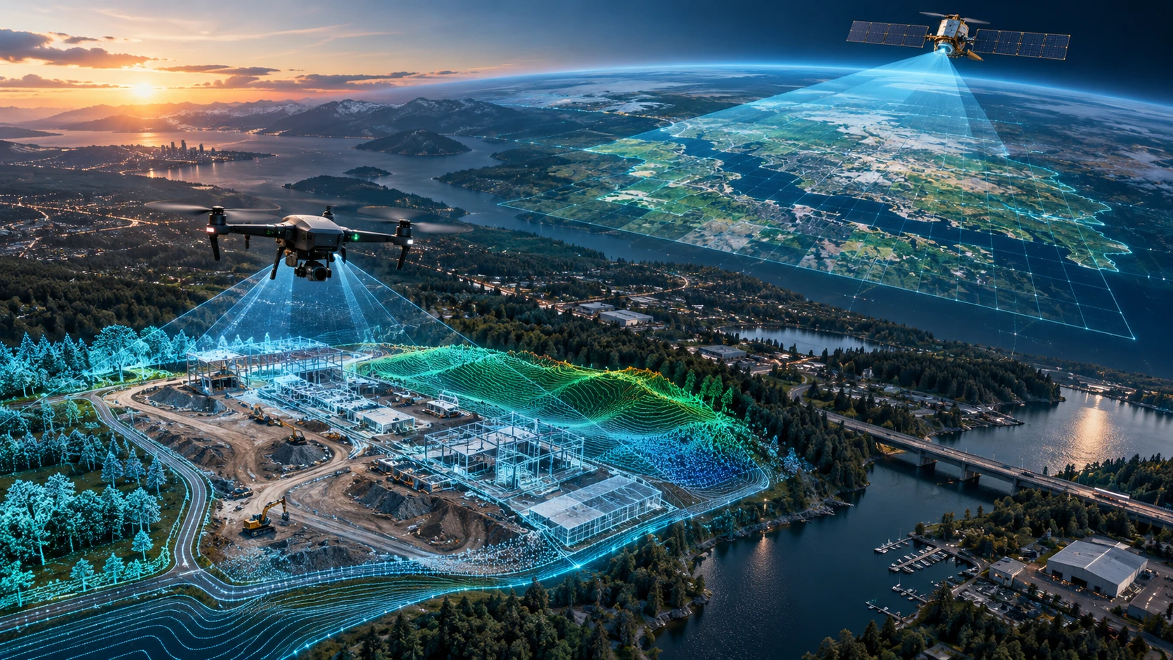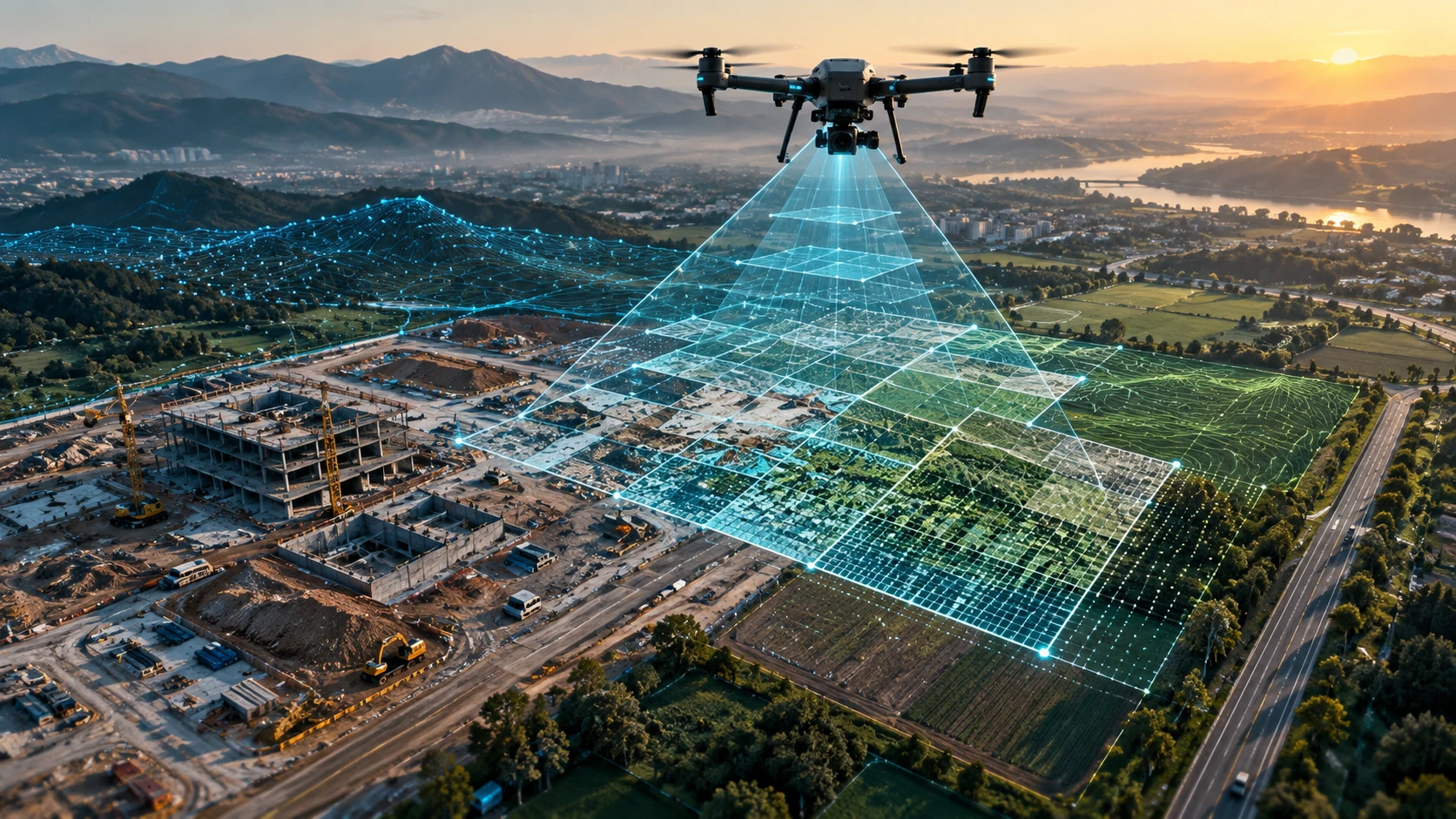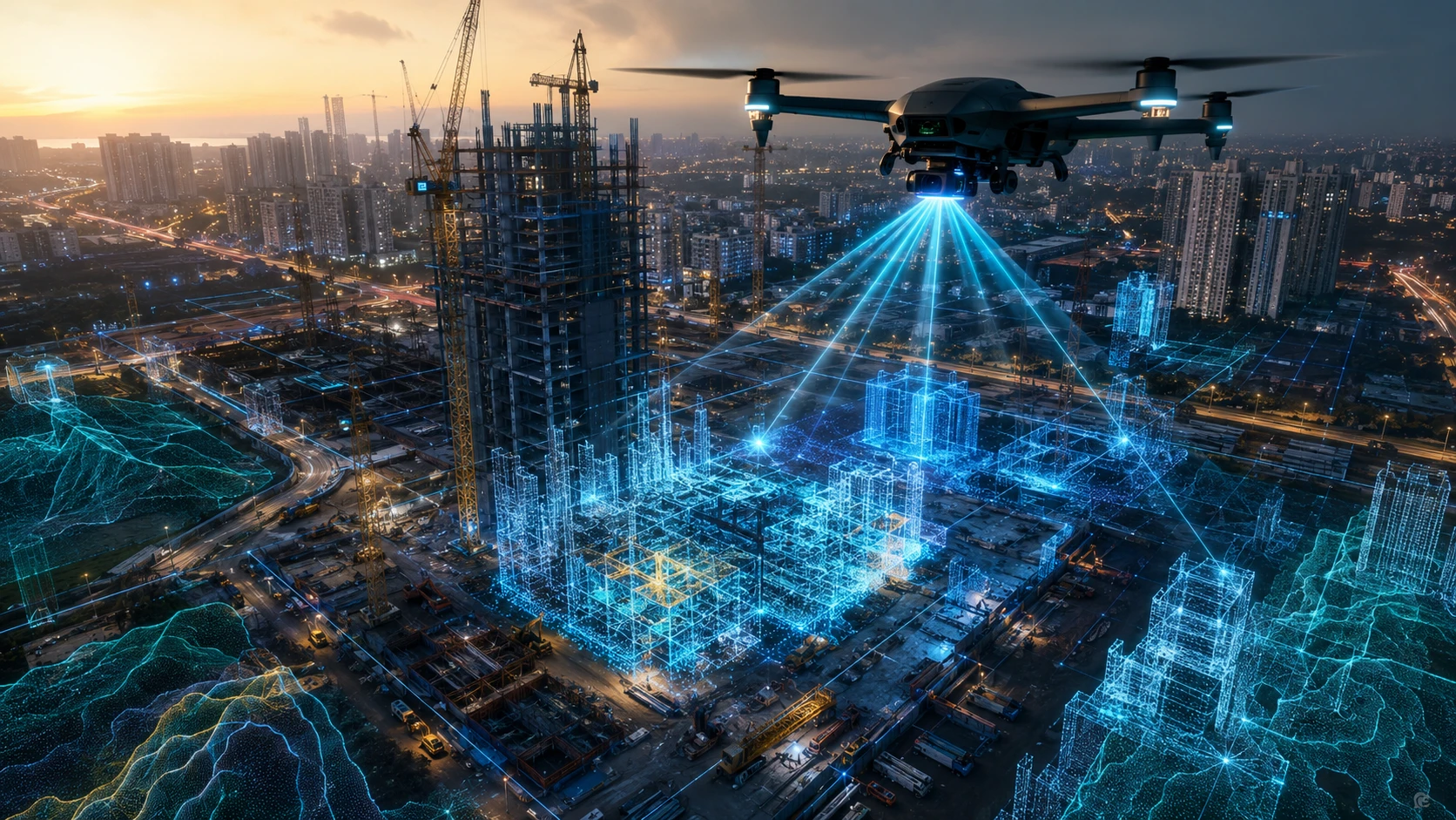
3D digital twins construction workflows are changing how project teams monitor, plan, and manage construction sites in India. A digital twin creates a virtual representation of a physical site, using data from drones, LiDAR, photogrammetry, GIS, BIM models, IoT sensors, site reports, and project schedules.
For construction companies, infrastructure developers, EPC contractors, government agencies, and real estate teams, the value is clear: a digital twin helps teams see what is happening on-site, compare actual progress with planned work, detect delays, improve coordination, and create a reliable project record.
In Kolkata, West Bengal, and across Eastern India, construction sites often involve dense urban locations, infrastructure corridors, industrial zones, water bodies, and multi-stakeholder coordination. 3D digital twins can make these complex sites easier to understand and manage.
What is a 3D digital twin in construction?
A 3D digital twin in construction is a virtual, data-rich version of a real construction site or asset. It connects spatial data, project information, and site updates so teams can monitor the physical project through a digital environment.
A simple 3D model shows what a site looks like. A digital twin goes further by connecting that model with useful project data. This may include survey data, BIM design files, drone imagery, LiDAR point clouds, GIS layers, progress updates, schedules, inspection records, and asset information.
A construction digital twin can help teams answer questions such as:
- What has been completed on-site?
- Which areas are delayed?
- Has the construction matched the design?
- Where are the access or safety risks?
- How much earthwork has changed?
- What assets exist on the site?
- Which structures need inspection?
- How has the site changed over time?
A strong digital twin is not created in one step. It is built through repeated data capture, proper processing, and continuous updates.
How do drone LiDAR and GIS data create construction digital twins?
Drone LiDAR and GIS data help create construction digital twins by capturing accurate 3D site geometry and linking it with location-based project information. LiDAR captures point clouds, while GIS organises spatial layers for planning, analysis, and decision-making.
Drone-based data capture is useful because construction sites change quickly. Roads, excavation areas, stockpiles, structures, foundations, utilities, site access routes, and temporary work zones may change every week.
A typical 3D digital twin workflow may include:
- Drone flight planning
- LiDAR or photogrammetry data capture
- Ground control or reference data collection
- Point cloud processing
- Orthomosaic or 3D model generation
- GIS layer creation
- Integration with design or BIM data
- Progress comparison
- Reporting and stakeholder review
- Repeat capture at planned intervals
For complex construction, infrastructure, and planning projects, Skyglimps Technologies LLP provides 3D LiDAR & GIS Solutions to help organisations convert site data into structured 3D and spatial outputs.
Why are 3D digital twins important for construction site management?
3D digital twins are important because they give project teams a shared visual and spatial reference for site management. Instead of relying only on manual reports, ground photos, or verbal updates, teams can review a digital version of the site.
Construction management often suffers from fragmented information. Engineers may use design drawings, contractors may use site photos, management may use progress reports, and clients may receive presentation slides. A digital twin helps bring these inputs into a more connected view.
A 3D digital twin can support:
- Progress monitoring
- Design-versus-actual comparison
- Site coordination
- Delay identification
- Safety planning
- Quantity and volume review
- Stakeholder reporting
- Inspection planning
- Asset documentation
- Handover records
This is especially useful for projects with multiple contractors, large land areas, repeated progress reviews, or high reporting pressure.
For construction companies in India, the biggest benefit is visibility. A digital twin makes site conditions easier to review even when decision-makers cannot visit the site frequently.
How do digital twins improve progress tracking?
Digital twins improve progress tracking by allowing teams to compare site conditions across different dates. Repeated drone surveys and 3D updates create a time-based record of how the construction site is changing.
Traditional progress tracking often depends on site engineers, manual measurements, contractor updates, and photographs. These are still important, but they may not show the full site in a consistent way.
A digital twin can help track:
- Excavation progress
- Road formation
- Foundation completion
- Structural development
- Stockpile movement
- Equipment zones
- Access route changes
- Utility corridor progress
- Land grading
- Site clearance
- Workfront availability
When drone data is captured at regular intervals, the project team can compare previous and current site conditions. This helps identify whether planned work is moving as expected or whether certain zones need attention.
For recurring construction updates, drone-based documentation and progress tracking can support visual records, milestone comparisons, and management reporting.
How do 3D digital twins support better planning and coordination?
3D digital twins support better planning by giving engineers, contractors, and project managers a clearer view of site constraints and work sequencing. When everyone sees the same digital site, coordination becomes more practical.
Construction sites are dynamic. A change in one area can affect access, material movement, crane planning, labour deployment, safety barriers, drainage, and future work fronts.
A digital twin helps teams coordinate:
| Site management need | How a digital twin helps |
|---|---|
| Work sequencing | Shows which areas are ready, blocked, or delayed |
| Access planning | Identifies roads, entry points, and material routes |
| Contractor coordination | Gives teams a shared visual reference |
| Safety planning | Highlights risky areas, edges, slopes, or obstructions |
| Design review | Compares planned design with actual site conditions |
| Earthwork planning | Shows surface changes and stockpile movement |
| Stakeholder reporting | Provides clear visual evidence of progress |
| Handover planning | Creates an organised record of final site conditions |
For infrastructure corridors, industrial sites, and urban development projects, this kind of coordination is valuable because teams often work across multiple zones at the same time.
How do digital twins improve safety on construction sites?
Digital twins improve safety by helping teams identify risks before sending people into difficult, elevated, congested, or unstable areas. Drone data can reduce unnecessary manual inspection and support better safety planning.
Construction safety depends on visibility. If a team cannot clearly see the full site, risks can be missed. Drone-based 3D data can help teams review slopes, excavation edges, access routes, roof areas, high structures, waterlogged zones, and restricted areas from a safer perspective.
A digital twin can support safety management by showing:
- Open excavations
- Unstable slopes
- Restricted zones
- High-risk access paths
- Material congestion
- Equipment movement areas
- Temporary structures
- Work-at-height zones
- Waterlogging or drainage issues
- Obstructions near work fronts
The digital twin does not replace safety officers or physical inspections. It helps them plan better. Safety teams can use site data to decide where to inspect, where to restrict access, and where corrective action is required.
For active construction sites, the ability to review site conditions remotely can reduce exposure to avoidable risks.
How do digital twins help compare design with actual construction?
Digital twins help compare design with actual construction by aligning site-captured data with design models, drawings, or BIM information. This makes it easier to identify visible deviations, missing work, or areas needing closer inspection.
In many construction projects, the design model and actual site condition do not always move together. Field changes, delays, access issues, material decisions, and contractor execution can create gaps between what was planned and what exists.
A digital twin can help teams review:
- Whether work has reached the planned stage
- Whether structures are positioned as expected
- Whether earthwork matches planned grading
- Whether access roads and utility routes are progressing
- Whether site constraints are affecting execution
- Whether completed work aligns with the intended design
This is particularly useful when combined with BIM. BIM gives the design intent. Drone and LiDAR data show the actual site condition. Together, they help project teams understand the gap between plan and reality.
For construction owners, this reduces dependency on delayed reports and gives more objective visibility into project status.
What deliverables come from a construction digital twin workflow?
A construction digital twin workflow can produce point clouds, 3D models, orthomosaic maps, digital elevation models, progress reports, GIS layers, BIM comparison outputs, and visual dashboards. The final deliverables depend on the project objective.
Common deliverables include:
| Deliverable | What it helps with |
| 3D point cloud | Detailed spatial record of site geometry |
| Orthomosaic map | Accurate top-down site view |
| 3D model | Visual understanding of the construction site |
| DEM / DSM | Terrain and surface modelling |
| Contour map | Elevation and grading review |
| Progress report | Stage-wise site documentation |
| GIS layers | Spatial planning and asset data management |
| BIM comparison | Design-versus-actual review |
| Volume report | Earthwork and stockpile assessment |
| Inspection record | Site condition and issue documentation |
A digital twin should not be created only for visual appeal. It should be designed around the decisions the project team needs to make.
For example, a real estate project may need visual progress reports for management. An infrastructure contractor may need terrain and workfront comparison. An industrial project may need asset documentation and GIS-ready layers.
What types of Indian construction projects benefit most?
Indian construction projects with large areas, multiple stakeholders, complex terrain, repeated reporting needs, or fast-changing site conditions benefit most from 3D digital twins. The value increases when project visibility directly affects cost, schedule, safety, or coordination.
High-fit project types include:
- Real estate developments
- Industrial parks
- Warehouses and logistics facilities
- Roads and bridges
- Metro and rail infrastructure
- Irrigation and canal projects
- Mining and earthwork sites
- Smart city projects
- Urban redevelopment
- Solar and power infrastructure
- Large campuses
- Public-sector infrastructure projects
In Eastern India, digital twin workflows can be useful for projects involving urban development in Kolkata and New Town, industrial corridors, irrigation networks, mining regions, port-linked infrastructure, and large land development sites.
For planning authorities and developers, drone and GIS data can also support better visibility across urban planning and smart city projects.
How should businesses start with 3D digital twins construction workflows?
Businesses should start with a clear project objective, not with the technology. A successful 3D digital twin workflow begins by defining what decisions the model must support.
Before starting, answer these questions:
- What is the site location and boundary?
- What problem should the digital twin solve?
- Is the goal progress tracking, planning, safety, or handover?
- What level of accuracy is needed?
- Is BIM data available?
- Are GIS layers required?
- How often should the site be updated?
- What deliverables are needed?
- Who will use the data?
- What reporting format is required?
A one-time 3D model may be useful for documentation. A true digital twin becomes more valuable when it is updated regularly and connected to project decisions.
For many businesses, the best starting point is a pilot project. Select one site, define a specific use case, capture drone or LiDAR data, generate outputs, and evaluate how the data improves reporting or coordination.
Why choose Skyglimps Technologies for 3D digital twin workflows?
Skyglimps Technologies LLP is a Kolkata-based drone services company and DGCA-certified Remote Pilot Training Organisation serving government and enterprise clients across Eastern India. The company supports drone-enabled workflows across LiDAR, GIS, mapping, inspections, surveillance, documentation, and training.
Skyglimps Technologies, a DGCA-certified RPTO in Kolkata, is positioned for organisations that need structured aerial data and 3D spatial outputs for construction, infrastructure, and planning projects. For teams in Kolkata, West Bengal, and Eastern India, local coordination can help improve site scoping, repeat data capture, and practical project communication.
3D digital twins construction workflows require more than drone flying. They require clear scope, safe data capture, accurate processing, useful deliverables, and a reporting structure that helps project teams take action.
FAQ: 3D Digital Twins Construction
A 3D digital twin in construction is a virtual version of a physical construction site. It combines spatial data, drone imagery, LiDAR, BIM, GIS, and project updates to support monitoring and decision-making.
Drones capture aerial images, LiDAR data, and site updates from above. This data can be processed into 3D models, point clouds, orthomosaics, and progress records for the digital twin.
Yes. Digital twins help compare site conditions across dates, making it easier to track progress, identify delays, review work zones, and create visual records for stakeholders.
No. BIM usually represents design and asset information, while a digital twin connects that information with real-world site data and updates. BIM can become part of a digital twin workflow.
A construction digital twin may use drone imagery, LiDAR point clouds, GIS layers, BIM models, ground control points, inspection records, project schedules, and progress reports.
Yes. Digital twins can help teams review risky areas, access constraints, excavation zones, slopes, and congested work fronts before sending personnel into the field.
Large, complex, fast-changing, or multi-stakeholder projects benefit most. These include real estate, infrastructure, industrial, mining, irrigation, smart city, and public-sector construction projects.
Build construction sites with better digital visibility
3D digital twins construction workflows are changing site management in India by giving project teams a clearer, more connected view of physical progress. They help bridge the gap between design, execution, reporting, safety, and decision-making.
For construction companies, developers, EPC contractors, infrastructure teams, and public-sector agencies, a digital twin can improve how sites are monitored and managed across the project lifecycle.
If your organisation needs 3D site data, LiDAR point clouds, GIS layers, construction progress models, or digital twin-ready outputs in Kolkata, West Bengal, or Eastern India, connect with Skyglimps Technologies LLP through the 3D LiDAR & GIS Solutions service page and share your project location, site size, and required deliverables.