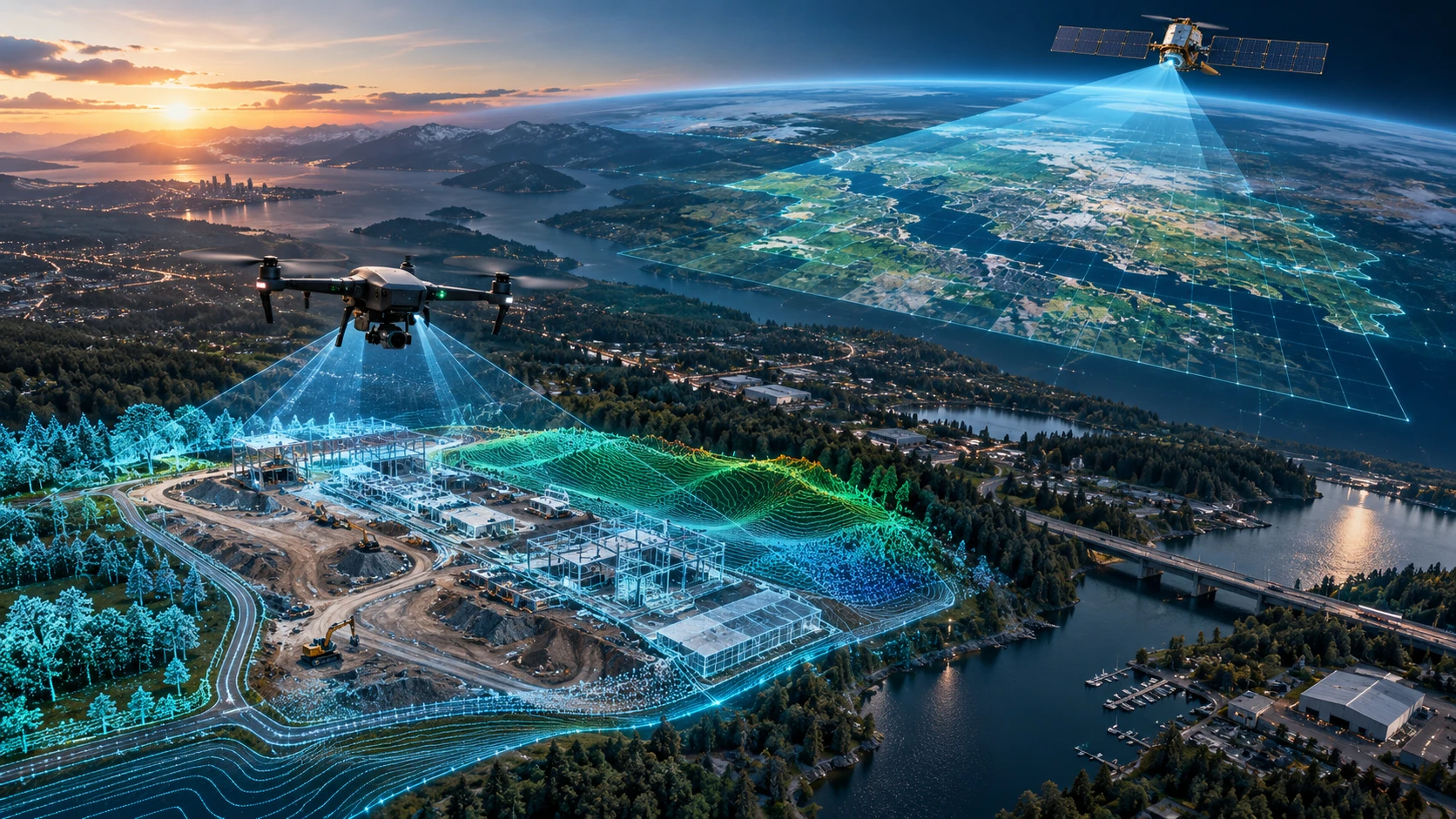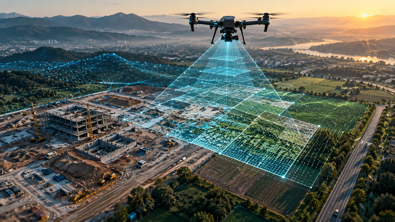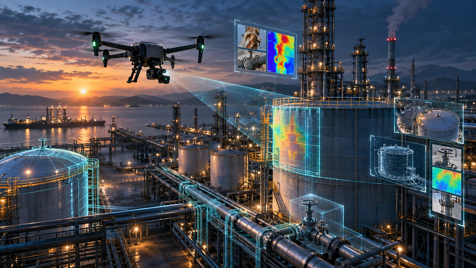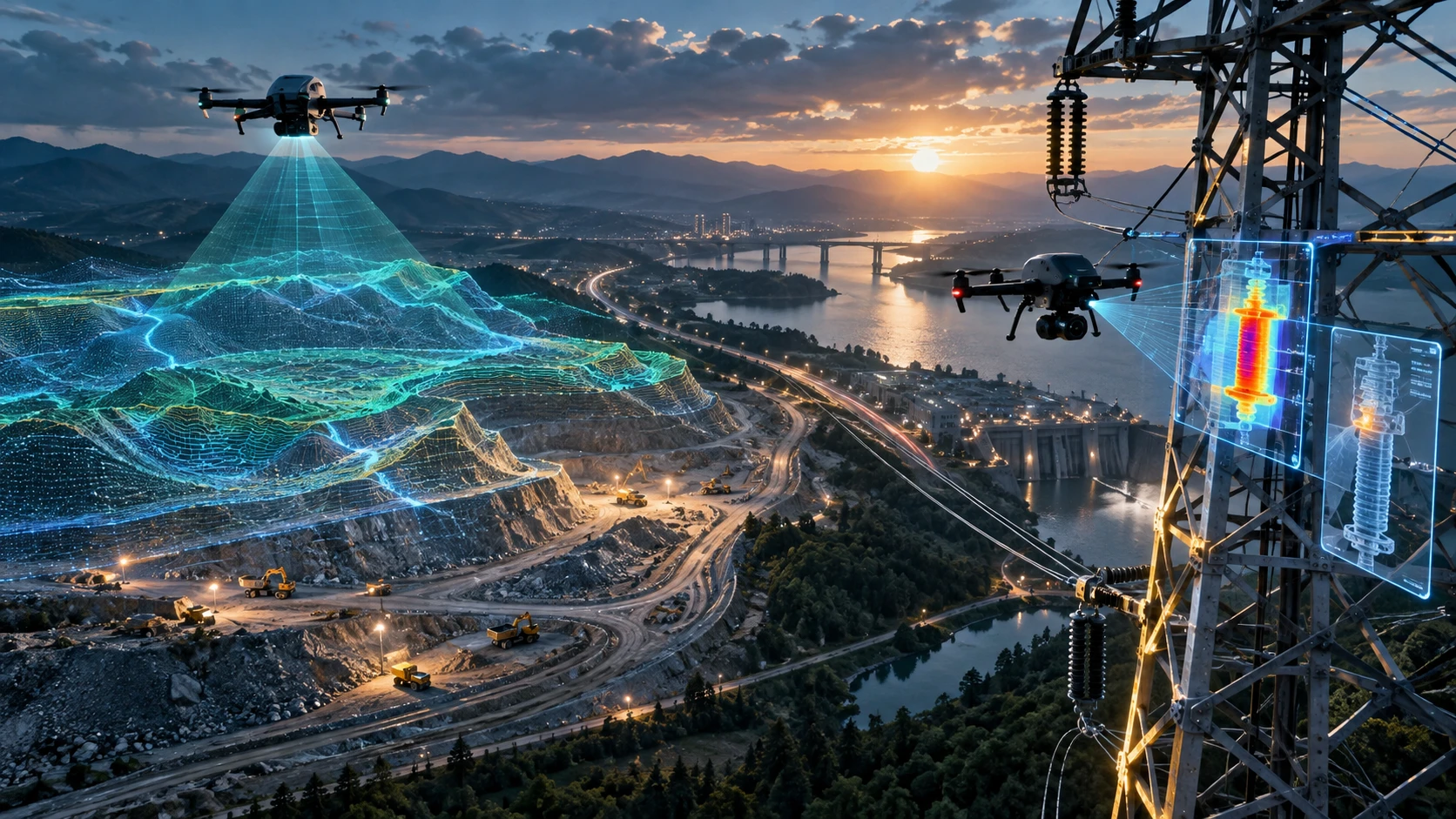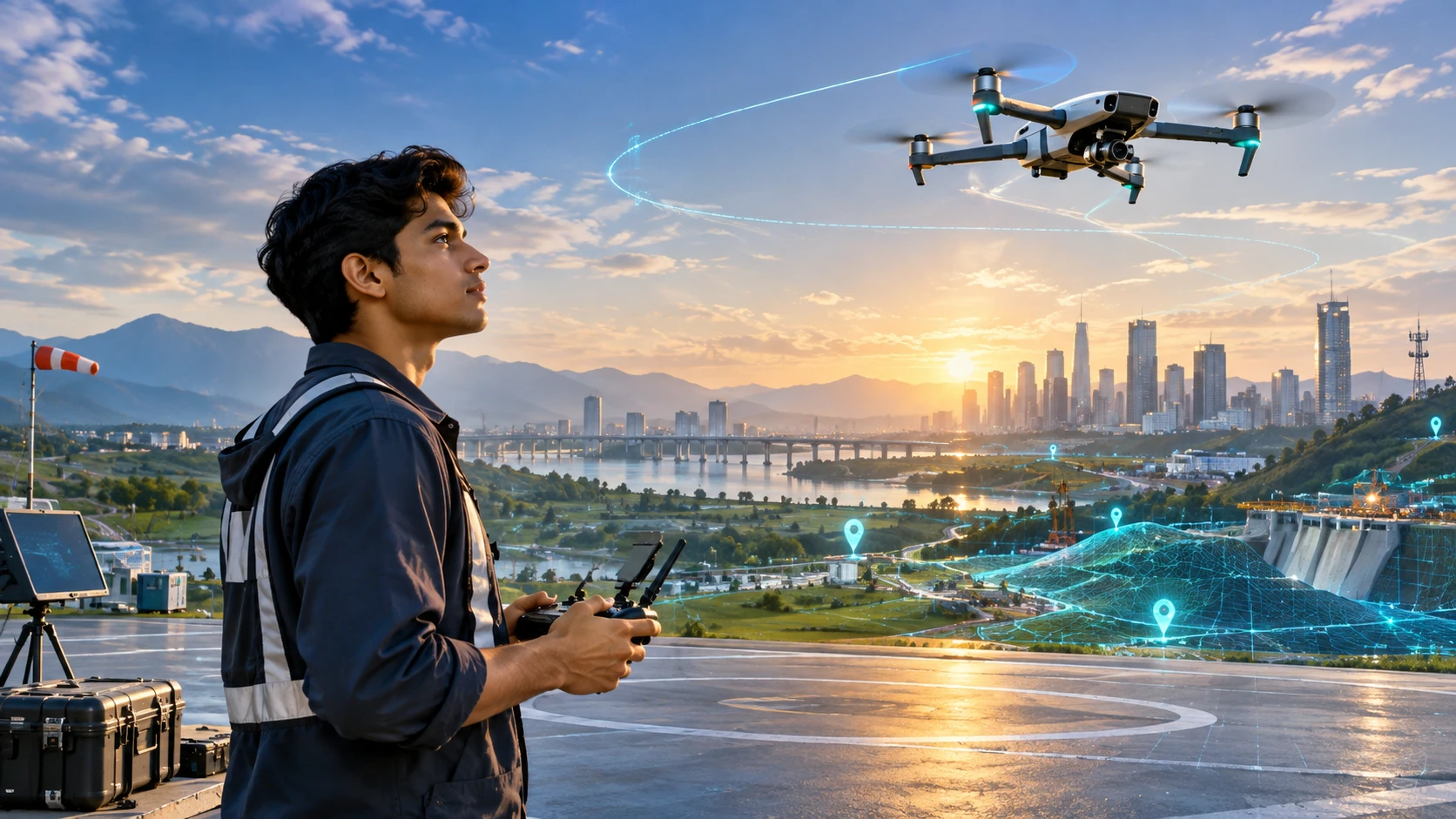
Drone training after 12th can be a practical career option for students who are interested in technology, aviation, surveying, mapping, agriculture, inspections, infrastructure, or creative aerial work. Drones are now used far beyond photography. They support real projects in construction, mining, land surveys, power utilities, agriculture, disaster assessment, and public infrastructure.
For students, the biggest advantage is that drone piloting is a skill-based career path. You do not need to wait for a long traditional degree before exploring the field. However, professional drone piloting requires more than flying a drone for fun. It needs DGCA-aware training, safety discipline, airspace understanding, practical flying skill, and industry-specific learning.
This guide explains whether drone piloting is a good career after 12th, what eligibility students should know, and how to plan the right training path.
Can you start drone training after 12th?
Yes, students can explore drone training after 12th, but professional certification has eligibility requirements that must be checked before enrolment. In India, candidates for professional remote pilot certification generally need to be at least 18 years old and have passed Class 10 or equivalent.
For many students, completing 12th means they already meet the education requirement. The age requirement still matters. If a student is not yet 18, they can use the time to learn drone basics, regulations, mapping concepts, software fundamentals, and career options before applying for professional certification.
Drone training after school may be suitable for students who are interested in:
- Technology and aviation
- Outdoor fieldwork
- Surveying and mapping
- Agriculture technology
- Infrastructure inspection
- Construction monitoring
- GIS and geospatial careers
- Aerial cinematography
- Drone entrepreneurship
- Government and enterprise drone projects
Skyglimps Technologies LLP offers DGCA-certified drone training in Kolkata for learners and organisations that want structured drone training with practical industry context.
Is drone piloting a good career choice after 12th?
Drone piloting can be a good career choice after 12th for students who want a practical, technical, and fast-evolving skill path. It becomes stronger when basic certification is combined with mapping, inspection, GIS, LiDAR, agriculture, or data-processing skills.
A drone career is not only about operating a remote controller. Professional drone pilots support real business and government decisions. They capture data that can help teams measure land, inspect assets, monitor projects, map canals, calculate stockpile volumes, or document construction progress.
A student may build a career in:
- Drone surveying
- Drone mapping
- Construction progress monitoring
- Agriculture drone operations
- Power-line inspection
- Solar inspection
- Mining and quarry mapping
- Real estate site documentation
- Aerial cinematography
- FPV inspection support
- GIS data collection
- Drone services entrepreneurship
The career is a good choice for students who enjoy technology, fieldwork, responsibility, and continuous learning. It may not be suitable for someone who wants only a desk-based job or expects certification alone to guarantee success.
What is DGCA-certified drone training?
DGCA-certified drone training is structured remote pilot training conducted through an authorised Remote Pilot Training Organisation, commonly called an RPTO. This training pathway helps eligible candidates prepare for safe and compliant professional drone operations.
DGCA stands for Directorate General of Civil Aviation. It is India’s civil aviation regulator. An RPTO is authorised to conduct remote pilot training for eligible candidates seeking a Remote Pilot Certificate, or RPC.
Students should understand these terms clearly:
| Term | Meaning | Why it matters |
|---|---|---|
| DGCA | Directorate General of Civil Aviation | Regulates civil aviation and drone-related rules |
| RPTO | Remote Pilot Training Organisation | Authorised organisation for remote pilot training |
| RPC | Remote Pilot Certificate | Certificate issued after successful approved training and assessment |
| Digital Sky | Drone-related digital platform ecosystem | Used for drone-related workflows and records |
A normal drone workshop is not the same as DGCA-approved training. Hobby sessions, FPV practice, aerial photography classes, or drone-building workshops may be useful, but they do not replace the recognised remote pilot training pathway where RPC is required.
What subjects are covered in drone pilot training?
Drone pilot training covers drone rules, airspace, flight planning, weather, safety, drone systems, practical flying, emergency handling, and maintenance basics. The aim is to prepare students for responsible drone operations.
Training usually includes both theory and practical learning. A student learns how drones work, how to fly safely, and how to make better decisions before and during flight.
Common training areas include:
| Training area | What students learn |
|---|---|
| Drone rules | Legal and operational responsibilities |
| Airspace | Green, yellow, red zones and restrictions |
| Flight planning | Site review, route planning, and safety checks |
| Drone systems | Frame, motors, propellers, batteries, payloads, and controllers |
| Meteorology | Wind, visibility, rain, and weather-related risk |
| Practical flying | Take-off, landing, hovering, movement, and manoeuvres |
| Emergency handling | Low battery, lost link, flyaway, and abnormal situations |
| Maintenance basics | Pre-flight and post-flight checks |
| Risk assessment | Identifying hazards before operating |
| Data basics | Introduction to drone data and applications |
Students should focus on understanding concepts, not only memorising exam answers. A good pilot knows why each safety step exists.
What skills should students build after basic drone training?
After basic drone training, students should build industry-specific skills such as drone mapping, GIS, photogrammetry, inspection workflows, thermal imaging, FPV control, and report preparation. These skills improve employability.
Certification helps a student enter the professional drone ecosystem. Specialisation helps them grow.
Useful skill paths include:
- Drone mapping: Learn orthomosaic maps, DEMs, DSMs, contours, and survey deliverables.
- GIS basics: Learn how drone data becomes map layers and spatial records.
- Photogrammetry: Learn how overlapping images become 2D maps and 3D models.
- Inspection workflows: Learn how drones inspect power assets, solar plants, rooftops, and industrial structures.
- Thermal imaging: Learn how heat patterns support asset inspection.
- FPV skills: Learn close-control flying for advanced or confined-space visual work.
- Aerial cinematography: Learn camera movement, framing, and storytelling.
- Report writing: Learn how to present findings professionally.
Students who combine drone flying with data skills have stronger career prospects than those who only learn basic control.
Which drone career paths are suitable after 12th?
After 12th, students can explore drone career paths in surveying, mapping, agriculture, construction, utilities, real estate, cinematography, inspection, and drone entrepreneurship. The best path depends on interest and skill development.
Here are common career directions:
| Career path | Suitable for students interested in |
|---|---|
| Drone survey pilot | Mapping, land, infrastructure, outdoor fieldwork |
| Mapping assistant | GIS, orthomosaics, DEMs, and survey data |
| Agriculture drone operator | Farming, spraying, crop monitoring, rural services |
| Inspection pilot | Power, solar, factories, industrial assets |
| Construction monitoring pilot | Project sites, progress tracking, documentation |
| Real estate drone operator | Site visuals, planning, and project updates |
| Aerial cinematographer | Video, media, creative storytelling |
| FPV pilot | Close-control flying and specialised inspection |
| Drone entrepreneur | Starting local drone services |
| Drone operations coordinator | Planning, permissions, pilots, and deliverables |
A student does not need to decide everything on day one. The first goal should be to understand drone operations properly. After that, the student can choose a specialised path.
How are drones used in surveying and mapping careers?
Drones are used in surveying and mapping to capture aerial data for land maps, site plans, elevation models, contours, construction records, and GIS-ready outputs. This is one of the strongest technical career paths for drone pilots.
Surveying and mapping projects may include:
- Land parcel mapping
- Road corridor surveys
- Construction site mapping
- Mining and quarry surveys
- Canal and waterway mapping
- Real estate site planning
- Orthomosaic map creation
- Digital Elevation Model generation
- Contour mapping
- Stockpile volume calculation
For students who like technical work, surveying can be a strong option. It connects drone flying with data processing, GIS, engineering, infrastructure, and government projects.
Skyglimps also provides a Drone Mapping & Surveying Course for learners who want to understand how drone data is captured, processed, and delivered for real projects.
How are drones used in agriculture careers?
Drones are used in agriculture for crop monitoring, spraying, field mapping, farm documentation, and precision agriculture workflows. This creates opportunities for students from rural, farming, engineering, or agri-tech backgrounds.
Agriculture drone work may include:
- Crop health observation
- Field boundary mapping
- Drone spraying support
- Irrigation planning support
- Farm documentation
- Crop-stage monitoring
- Agri-service entrepreneurship
Agriculture drone operations require safety, discipline, and awareness of field conditions. Weather, wind, crop type, chemical safety, and farmer communication all matter.
For students from West Bengal and Eastern India, agriculture and rural service applications can be relevant because many regions have active farming, water-resource, and land-management needs.
How are drones used in inspection careers?
Drones are used in inspection careers to capture visual, thermal, and location-based data of assets that are difficult, risky, or time-consuming to inspect manually. This can include power lines, solar panels, roofs, towers, factories, and infrastructure assets.
Inspection drone work may involve:
- Power distribution inspection
- Transmission corridor review
- Solar panel inspection
- Rooftop inspection
- Industrial asset documentation
- Factory and warehouse review
- Bridge and structure inspection
- Thermal hotspot detection
- Maintenance reporting
Inspection pilots must be careful and systematic. They should understand safe distance, image quality, reporting, asset references, and the limits of drone data.
For students who enjoy technical problem-solving and industrial environments, inspection can be a strong career path.
How can students build a drone career portfolio?
Students can build a drone career portfolio by documenting sample projects, training outputs, maps, videos, inspection examples, and simple reports. A portfolio helps employers and clients see practical ability.
A beginner portfolio may include:
- Aerial images
- Short edited drone videos
- Sample orthomosaic map
- Small land mapping project
- Drone flight planning screenshots
- Construction progress comparison
- Basic inspection photo set
- Drone safety checklist
- Sample PDF report
- Training certificate details
Students should never show confidential client data without permission. Training projects, practice datasets, and approved sample work are safer.
A strong portfolio should answer:
- What was the project objective?
- How was the drone data captured?
- What output was created?
- What did the output help explain?
Employers prefer students who can show structured thinking, not only attractive visuals.
Should students choose a degree or drone training after 12th?
Students do not always need to choose between a degree and drone training; both can work together. Drone training can be a skill add-on alongside engineering, geography, agriculture, civil construction, media, GIS, or science education.
Drone training can pair well with:
- Civil engineering
- Geography
- Agriculture
- Geology
- Environmental science
- Architecture
- Urban planning
- Media and filmmaking
- Computer applications
- Data analytics
- GIS and remote sensing
- Mechanical or electrical fields
For example, a civil engineering student with drone mapping skills may support construction and infrastructure projects. An agriculture student with drone operation skills may enter crop-monitoring or spraying services. A media student may specialise in aerial cinematography.
Drone training should be seen as a career skill that can strengthen a larger professional path.
What mistakes should students avoid after 12th?
Students should avoid treating drone piloting as only a shortcut career or a hobby skill. Professional drone work requires discipline, training, safety awareness, and continuous learning.
Common mistakes include:
- Buying a drone before understanding rules
- Choosing a non-authorised institute for certification claims
- Ignoring age and eligibility requirements
- Learning only basic flying
- Not practising enough
- Avoiding technical subjects
- Not building a portfolio
- Ignoring safety procedures
- Overpromising to clients
- Not learning mapping or inspection skills
- Treating drone work like only photography
- Not checking airspace before flying
A serious drone career needs patience. Students should focus on becoming responsible pilots first and specialised professionals next.
How should students choose a drone training institute?
Students should choose a drone training institute by checking DGCA authorisation, RPTO status, approved scope, instructor quality, practical flying exposure, safety standards, and career guidance. Price should not be the only factor.
Before enrolling, ask:
- Is the institute a DGCA-authorised RPTO?
- What category and class is approved for training?
- What is included in the course?
- Does it include practical flying?
- Who are the instructors?
- What documents are required?
- What is the certificate process?
- Are rules and airspace topics covered properly?
- Is post-training guidance available?
- Are add-on courses available for mapping, FPV, or inspection?
- Are batch dates and fees clearly shared?
- Is the training location suitable?
A good institute should explain the pathway clearly and avoid outdated terms, vague promises, or unrealistic career guarantees.
Why choose Skyglimps Technologies for drone training after 12th?
Skyglimps Technologies LLP is a Kolkata-based drone services company and DGCA-certified Remote Pilot Training Organisation serving learners, government teams, and enterprise clients across Eastern India. The company supports drone training and professional drone workflows across surveying, mapping, LiDAR, GIS, inspections, documentation, surveillance, FPV, and aerial applications.
Skyglimps Technologies, a DGCA-certified RPTO in Kolkata, is positioned for students who want to understand drones as professional tools, not only gadgets. For learners in Kolkata, New Town, West Bengal, and Eastern India, local training can make the certification journey clearer and more accessible.
Drone training after 12th is most valuable when students combine certification with real-world skills such as mapping, inspection, agriculture, GIS, FPV control, or aerial documentation.
FAQ: Drone Training After 12th
Yes. Students can explore drone training after 12th. For professional certification, they should check age, education, RPTO, and DGCA-related eligibility requirements.
For professional remote pilot certification in India, candidates generally need to be at least 18 years old and Class 10 pass or equivalent.
Yes, it can be a good career if students combine certification with practical flying, mapping, inspection, GIS, agriculture, or industry-specific skills.
For eligible professional drone operations, candidates should follow the DGCA-approved training pathway through an authorised RPTO and obtain the required certificate.
Good options include drone surveying, mapping, agriculture drone operations, inspection, construction monitoring, real estate documentation, aerial cinematography, and FPV flying.
Yes. Drone mapping is a strong add-on skill after basic pilot training. It includes orthomosaics, DEMs, contours, GIS files, and survey reports.
Drone training is a foundation. Better job opportunities come when students build a portfolio, practise flying, learn software, and specialise in a clear industry.
Start your drone career with the right training path
Drone training after 12th can be a strong choice for students who want a practical, technical, and future-focused career. The drone industry needs responsible pilots who understand safety, regulations, field operations, and real business applications.
Certification is the first step. Career growth comes from learning how drones are used in surveying, mapping, agriculture, inspection, construction, real estate, infrastructure, and public-sector projects.
If you want to begin professional drone training in Kolkata, West Bengal, or Eastern India, connect with Skyglimps Technologies LLP through the DGCA-certified drone training hub and explore the right course for your goals.