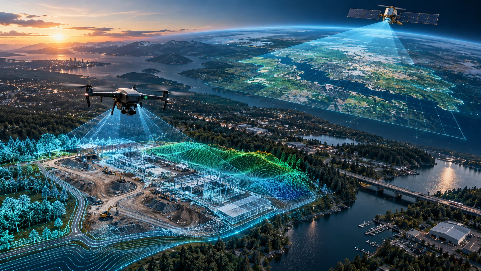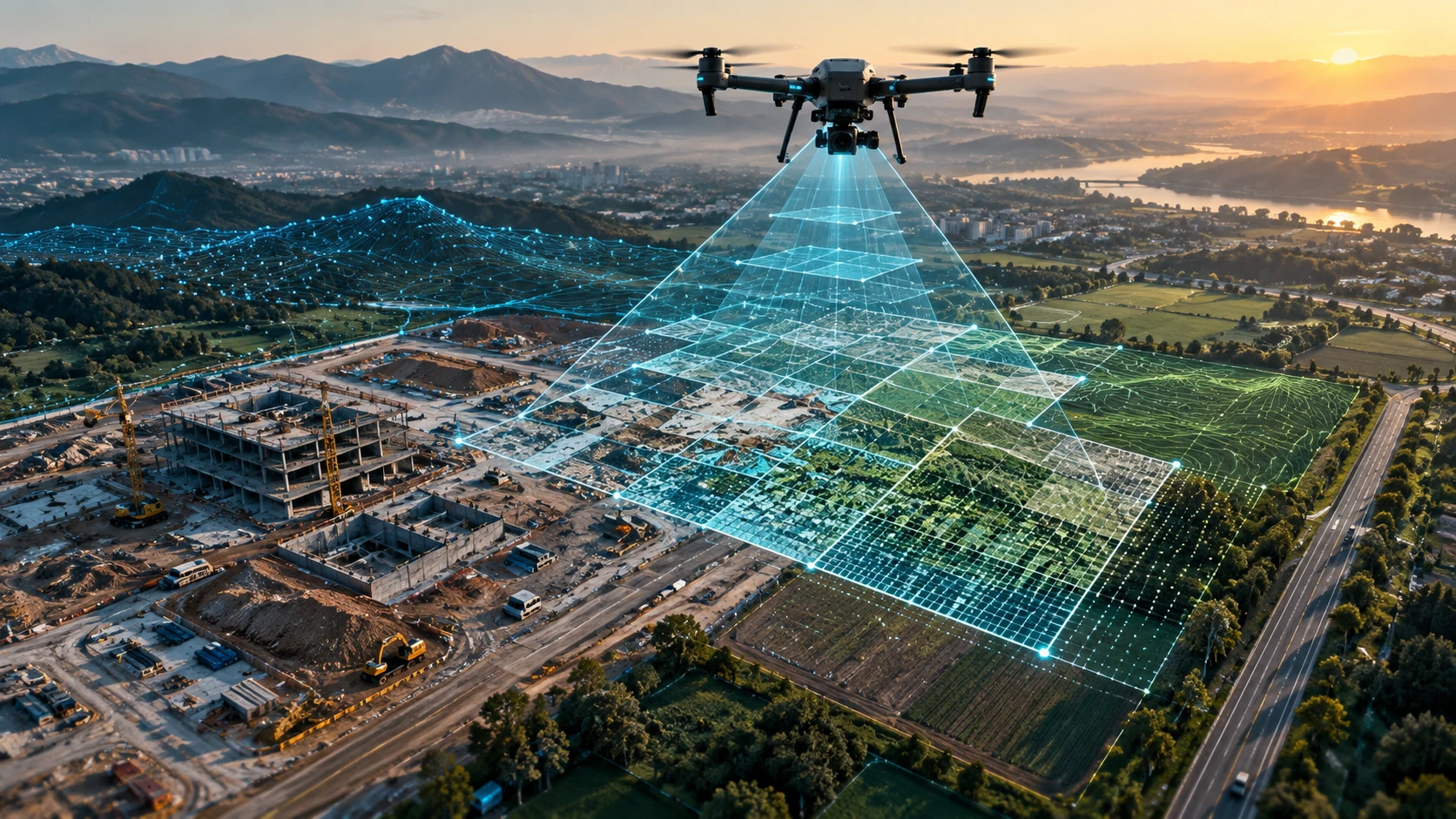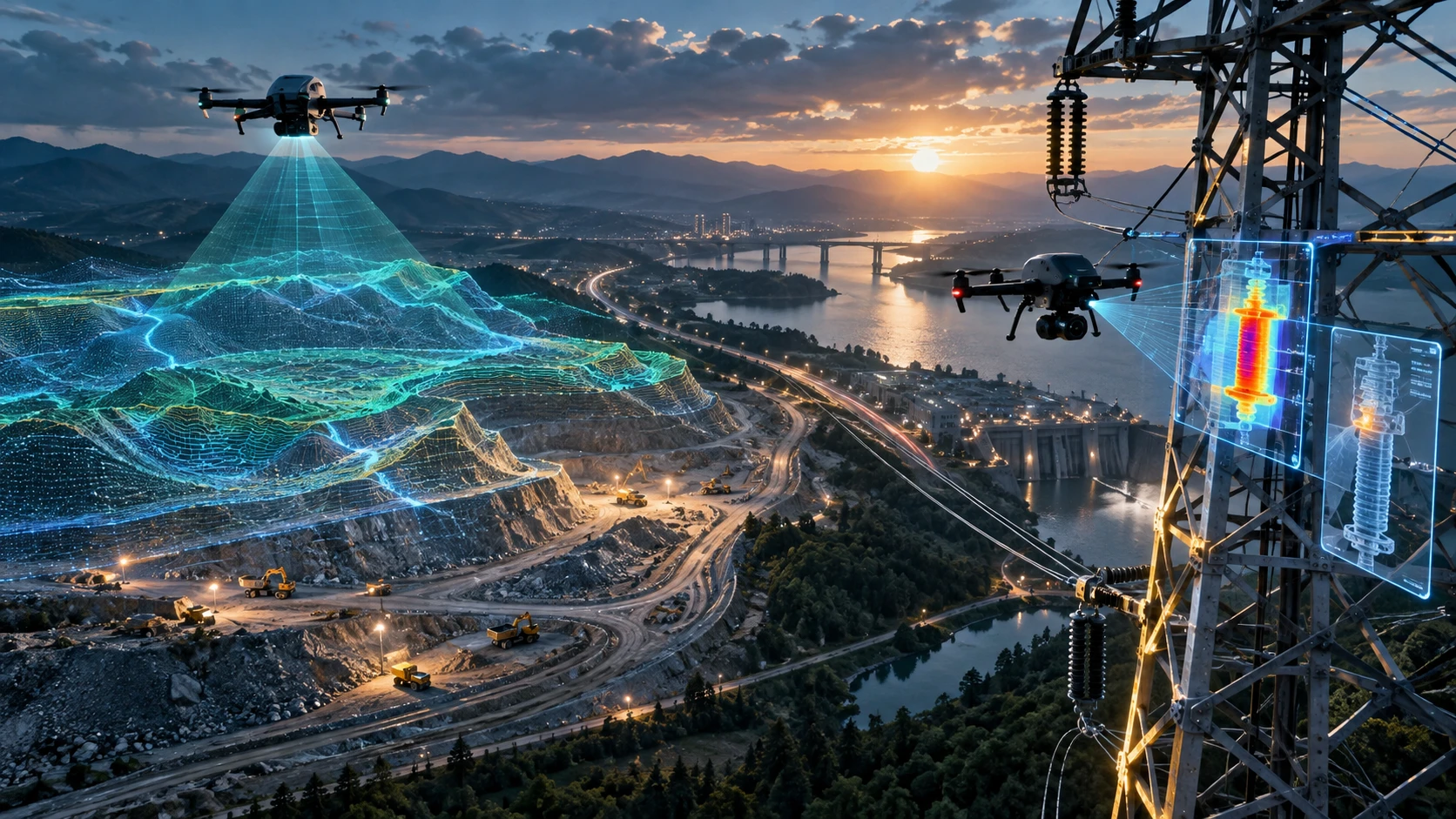
Drone survey accuracy depends on much more than the drone camera. A sharp aerial image may look impressive, but professional survey data must also be correctly positioned, properly processed, and suitable for the final project decision. For construction, mining, roads, canals, real estate, utilities, and infrastructure projects, accuracy affects measurements, maps, contours, volume reports, GIS files, and client decisions.
Drone surveys can create orthomosaic maps, digital elevation models, digital surface models, point clouds, cross-sections, and CAD or GIS-ready files. However, the quality of these outputs depends on planning, ground control, RTK or PPK workflow, image overlap, flight altitude, sensor quality, terrain, weather, and processing checks.
This guide explains the key factors that affect drone survey accuracy and what project teams should check before commissioning a professional drone survey.
What does drone survey accuracy mean?
Drone survey accuracy means how closely the final drone survey output matches real-world ground positions, elevations, and measurements. It tells project teams whether maps, models, contours, and measurements can be trusted for the intended use.
There are two main types of accuracy:
| Accuracy type | Meaning | Why it matters |
|---|---|---|
| Horizontal accuracy | How correctly features are positioned on the ground | Important for boundaries, roads, layouts, and GIS layers |
| Vertical accuracy | How correctly elevation is represented | Important for DEMs, contours, cut-fill, drainage, and volumes |
A drone survey can look visually clear but still have weak positional accuracy if it was not controlled or processed correctly. This is why project teams should ask not only “How good is the camera?” but also “How will the survey accuracy be verified?”
Skyglimps Technologies LLP provides 2D Surveying & Mapping for organisations that need aerial maps, site documentation, orthomosaic outputs, and survey-ready visual data.
Why does accuracy matter in drone surveying?
Accuracy matters because drone survey outputs are often used for measurement, planning, engineering review, progress tracking, and decision-making. If the survey is inaccurate, the final maps and reports may mislead the project team.
Drone survey accuracy affects:
- Land mapping
- Construction progress comparison
- Road alignment review
- Canal and waterway mapping
- Mining volume calculation
- Stockpile measurement
- Drainage and slope analysis
- Contour maps
- Real estate site planning
- Infrastructure documentation
- GIS and CAD integration
- Contractor and client reporting
For example, a small vertical error can affect volume calculation on a large stockpile. A horizontal shift can create confusion when overlaying drone data with GIS or CAD drawings. Poor image alignment can create gaps or distortion in an orthomosaic map.
Accuracy should always be matched to the purpose. A basic visual progress report does not need the same accuracy controls as an engineering or volume calculation project.
How do GCPs affect drone survey accuracy?
Ground Control Points, or GCPs, improve drone survey accuracy by linking aerial data to known points measured on the ground. They help align drone images, maps, models, and elevation outputs with real-world coordinates.
A GCP is usually a visible marker placed across the project site before the drone flight. Its coordinates are measured using appropriate survey equipment. During processing, the GCPs help correct and align the drone model.
GCPs are useful for:
- Orthomosaic alignment
- DEM and DSM accuracy
- Contour reliability
- Volume calculation confidence
- GIS and CAD compatibility
- Repeat survey comparison
- Engineering and measurement use cases
The number and placement of GCPs matter. A few poorly placed GCPs may not be enough for a large or complex site. GCPs should be distributed logically across the survey area, including edges, corners, elevation changes, and important project zones where practical.
How do RTK and PPK improve drone survey accuracy?
RTK and PPK improve drone survey accuracy by correcting the drone’s positioning data during or after the flight. These methods can reduce ground-control effort while improving the quality of image positioning.
RTK stands for Real-Time Kinematic. It applies corrections while the drone is flying. PPK stands for Post-Processed Kinematic. It applies corrections after the flight during processing.
| Method | Correction timing | Best use |
|---|---|---|
| GCP | During processing using known ground points | High-confidence control and validation |
| RTK | During the drone flight | Repeat mapping where live correction is reliable |
| PPK | After the drone flight | Remote or corridor sites with weaker live correction |
RTK and PPK can be useful for construction sites, corridor mapping, mining, roads, canals, and large land surveys. However, they should not be treated as a replacement for quality checks. Professional workflows often use checkpoints to verify final output accuracy.
Why are checkpoints important?
Checkpoints are independent measured points used to test the final drone survey output. They help confirm whether the map, model, or elevation surface is accurate enough for the project.
A GCP helps control the model. A checkpoint helps test the model.
Checkpoints can verify:
- Horizontal accuracy
- Vertical accuracy
- Orthomosaic alignment
- DEM quality
- Contour reliability
- Volume calculation confidence
- Repeat survey consistency
For measurement-heavy projects, checkpoints are important because they create evidence. A project team should not rely only on claims such as “high accuracy” or “survey-grade output.” The report should explain how accuracy was checked.
How does flight altitude affect accuracy?
Flight altitude affects drone survey accuracy because it changes the ground sampling distance, image detail, coverage area, and number of images captured. Lower flights usually capture more detail, while higher flights cover more area faster.
A lower altitude may improve image detail, but it also increases flight time and image count. A higher altitude may be efficient for large areas, but it can reduce visible detail and affect the quality of smaller features.
Flight altitude should be chosen based on:
- Site size
- Required map detail
- Required ground sampling distance
- Terrain variation
- Safety conditions
- Drone endurance
- Deliverables required
- Accuracy expectations
The correct altitude is not the lowest or highest possible altitude. It is the altitude that produces the required output safely and efficiently.
Why is image overlap important?
Image overlap is important because photogrammetry software needs repeated views of the same ground features to align images and create accurate maps and models. Without enough overlap, the final output may have gaps, distortions, or weak geometry.
Drone mapping flights usually capture images with front overlap and side overlap. These overlapping images allow software to identify common points and build a 3D reconstruction.
Poor overlap can affect:
- Orthomosaic stitching
- Point cloud quality
- 3D model geometry
- DEM and DSM generation
- Contour accuracy
- Volume calculations
- Overall map reliability
Overlap requirements depend on the site, camera, altitude, terrain, lighting, vegetation, and deliverables. Complex sites often need stronger planning than simple open land.
How do camera and sensor quality affect accuracy?
Camera and sensor quality affect drone survey accuracy because the final output depends on sharp, stable, and well-calibrated image or LiDAR data. Poor image quality can reduce the reliability of photogrammetry outputs.
Important sensor factors include:
- Camera resolution
- Lens quality
- Shutter type
- Image sharpness
- Sensor calibration
- Motion blur control
- LiDAR point density
- GNSS integration
- Payload stability
- Camera angle
For photogrammetry, blurred images can reduce tie-point quality. For LiDAR, sensor quality, calibration, and point density affect how well the site surface is captured.
A professional drone survey should use equipment that matches the project requirement. Basic visual documentation and technical terrain mapping may need different workflows.
How do weather and lighting affect drone survey accuracy?
Weather and lighting affect drone survey accuracy because wind, rain, harsh shadows, low light, glare, humidity, and unstable flying conditions can reduce data quality. Bad conditions can affect both capture and processing.
Weather-related issues include:
- Wind causing unstable flight
- Rain or moisture affecting equipment safety
- Harsh sunlight creating shadows
- Low light causing blurred images
- Water reflection affecting image matching
- Dust reducing image clarity
- Moving vegetation affecting surface reconstruction
For accurate drone surveys, the flight should be planned during suitable weather and lighting conditions. If the site has reflective water, dense vegetation, or strong shadows, the survey team should adjust the capture plan accordingly.
How does terrain affect drone survey accuracy?
Terrain affects drone survey accuracy because slopes, elevation changes, vegetation, water, buildings, stockpiles, and uneven surfaces can make mapping more complex. A flat open site is easier to survey than a mixed terrain site.
Challenging terrain may include:
- Hilly land
- Quarry benches
- Stockpiles
- Dense vegetation
- Water bodies
- Embankments
- Construction equipment
- Tall buildings
- Narrow corridors
- Urban clutter
- Low-texture surfaces
Terrain variation may require terrain-following flight plans, better overlap, more checkpoints, LiDAR data, or additional processing care.
For complex 3D, elevation, or terrain-heavy projects, Skyglimps Technologies LLP also provides 3D LiDAR & GIS Solutions for point clouds, elevation models, and GIS-ready spatial outputs.
How does processing affect drone survey accuracy?
Processing affects drone survey accuracy because raw drone data must be converted into maps, models, surfaces, contours, and reports using proper photogrammetry, LiDAR, or GIS workflows. Good capture can still produce poor outputs if processing is weak.
Processing quality depends on:
- Image alignment
- Tie-point quality
- Camera calibration
- GCP marking accuracy
- RTK or PPK correction handling
- Point cloud classification
- DEM or DSM generation method
- Coordinate system setup
- Contour interval selection
- Volume calculation method
- Export settings
- Quality review
Project teams should ask what software workflow and quality checks will be used. The final report should not only show outputs. It should explain assumptions, limitations, and validation wherever required.
Which deliverables are most affected by accuracy?
Deliverables involving measurement, elevation, and georeferencing are most affected by drone survey accuracy. These include orthomosaics, DEMs, contours, point clouds, cross-sections, volume reports, and GIS or CAD files.
| Deliverable | Why accuracy matters |
|---|---|
| Orthomosaic map | Must align correctly with real-world coordinates |
| DEM / DSM | Elevation errors affect terrain interpretation |
| Contour map | Wrong levels can mislead planning decisions |
| Point cloud | Needs reliable 3D positioning |
| Volume report | Surface errors affect quantity calculation |
| Cross-section | Requires accurate horizontal and vertical data |
| GIS files | Must align with existing spatial layers |
| CAD exports | Must match engineering coordinate systems |
| Progress comparison | Repeat surveys must align across dates |
For simple marketing visuals, accuracy may be less critical. For survey, engineering, billing, planning, and government project work, it becomes essential.
How should clients define accuracy requirements?
Clients should define accuracy requirements by explaining how the drone survey output will be used. The survey team can then recommend the correct workflow, control method, flight plan, and deliverables.
Before the project begins, clients should clarify:
- Is the survey for visual documentation or measurement?
- Are boundaries, contours, or elevations required?
- Will the output be used in GIS or CAD?
- Is volume calculation required?
- Is vertical accuracy important?
- Are repeat surveys needed?
- Will the output support billing or contractor review?
- Are government or engineering submissions involved?
- What file formats are required?
- What coordinate system should be used?
- Is GCP, RTK, PPK, or a hybrid workflow needed?
- Will checkpoints be included?
A good drone survey brief starts with the final decision. Once the decision is clear, the accuracy workflow becomes easier to choose.
What should a drone survey accuracy report include?
A professional drone survey accuracy report should explain the control method, checkpoints, coordinate system, processing workflow, assumptions, limitations, and deliverable quality. This helps clients understand how reliable the output is.
A useful report may include:
- Survey date
- Site boundary
- Flight summary
- Drone data capture method
- GCP layout, if used
- RTK or PPK workflow, if used
- Checkpoint summary
- Coordinate system
- Vertical reference
- Image overlap notes
- Processing method
- Deliverables list
- Quality notes
- Limitations
- Recommended use of data
The report should not overpromise. It should clearly state what the data is suitable for and what should be verified through additional survey or engineering review if required.
What mistakes reduce drone survey accuracy?
Common mistakes that reduce drone survey accuracy include poor flight planning, weak image overlap, missing checkpoints, incorrect GCP marking, bad weather, wrong coordinate systems, and rushed processing. These mistakes can make final outputs unreliable.
Avoid these errors:
- Flying without a clear survey objective
- Using poor image overlap
- Flying at unsuitable altitude
- Not checking weather and lighting
- Not using GCPs or checkpoints when needed
- Poor GCP distribution
- Blurred or incomplete images
- Missing site coverage
- Ignoring coordinate system requirements
- Mixing raw data folders
- Not validating RTK or PPK outputs
- Overpromising accuracy without evidence
Project teams should choose a survey partner that explains the workflow before the flight and checks data quality before final delivery.
Why choose Skyglimps Technologies for accurate drone surveys?
Skyglimps Technologies LLP is a Kolkata-based drone services company and DGCA-certified Remote Pilot Training Organisation serving government and enterprise clients across Eastern India. The company supports drone-enabled workflows across surveying, mapping, LiDAR, GIS, inspections, documentation, surveillance, and training.
Skyglimps Technologies, a DGCA-certified RPTO in Kolkata, is positioned for organisations that need structured aerial data and professional survey outputs for construction, mining, roads, irrigation, real estate, utilities, urban planning, and infrastructure projects.
For projects in Kolkata, West Bengal, Jharkhand, Odisha, and Eastern India, local coordination can help improve site scoping, flight planning, control selection, repeat monitoring, and reporting clarity.
Drone survey accuracy depends on planning the right method before the flight and verifying the result after processing.
FAQ: Drone Survey Accuracy
Drone survey accuracy is affected by GCPs, RTK, PPK, flight altitude, image overlap, camera quality, weather, terrain, processing workflow, coordinate system, and checkpoints.
GCPs are often useful for accurate drone surveys, especially when outputs are used for measurement, engineering, volume calculation, GIS, or CAD workflows.
Yes. RTK improves drone image positioning during flight using live GNSS corrections. Checkpoints are still recommended for professional validation.
PPK is useful when real-time correction is unreliable. RTK is efficient when live correction is stable. The better method depends on site conditions and project needs.
Flying lower can improve image detail, but it also increases image count and flight time. The correct altitude depends on required detail, safety, terrain, and deliverables.
Image overlap helps photogrammetry software match common ground features, align images, and create stronger orthomosaics, point clouds, DEMs, and 3D models.
Clients can ask for checkpoint results, control method details, coordinate system notes, processing workflow, quality notes, and limitations in the final report.
Improve survey quality before the drone takes off
Drone survey accuracy is decided before, during, and after the flight. Good results come from clear project requirements, correct flight planning, suitable sensors, proper control methods, strong overlap, careful processing, and independent validation.
For project teams, the most important step is to define how the data will be used. Visual reporting, engineering review, volume calculation, GIS mapping, and construction monitoring do not all need the same workflow.
If your organisation needs orthomosaic maps, DEMs, contours, GIS-ready files, CAD-ready outputs, volume reports, or accurate drone mapping in Kolkata, West Bengal, or Eastern India, connect with Skyglimps Technologies LLP through the 2D Surveying & Mapping service page and share your project location, accuracy requirement, and required deliverables.