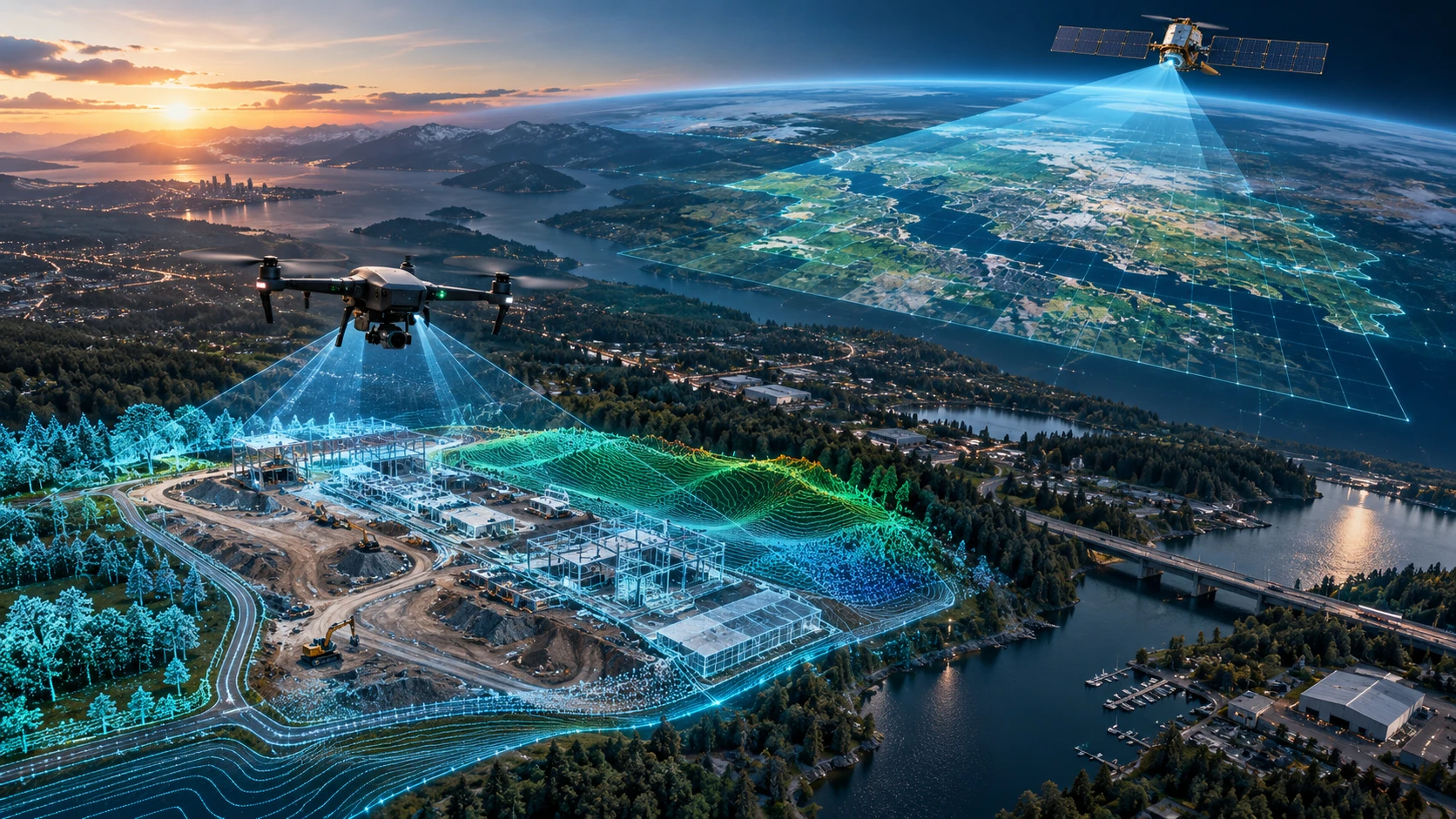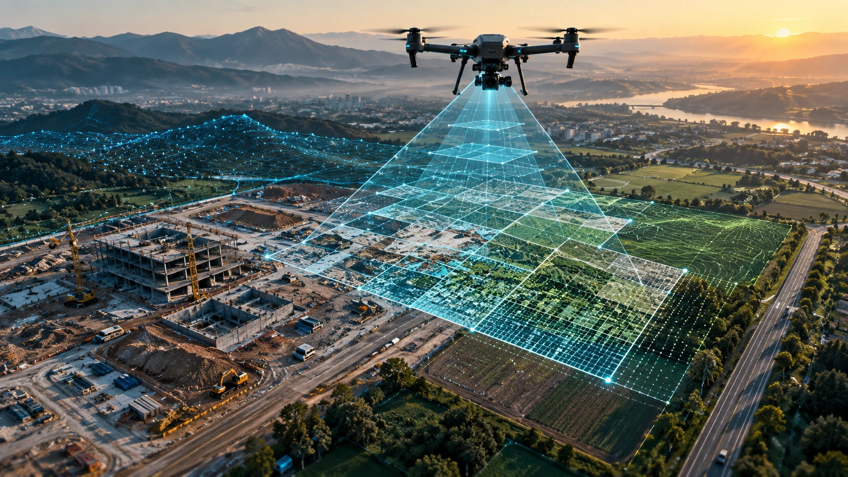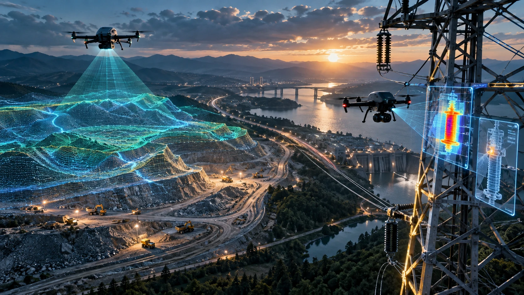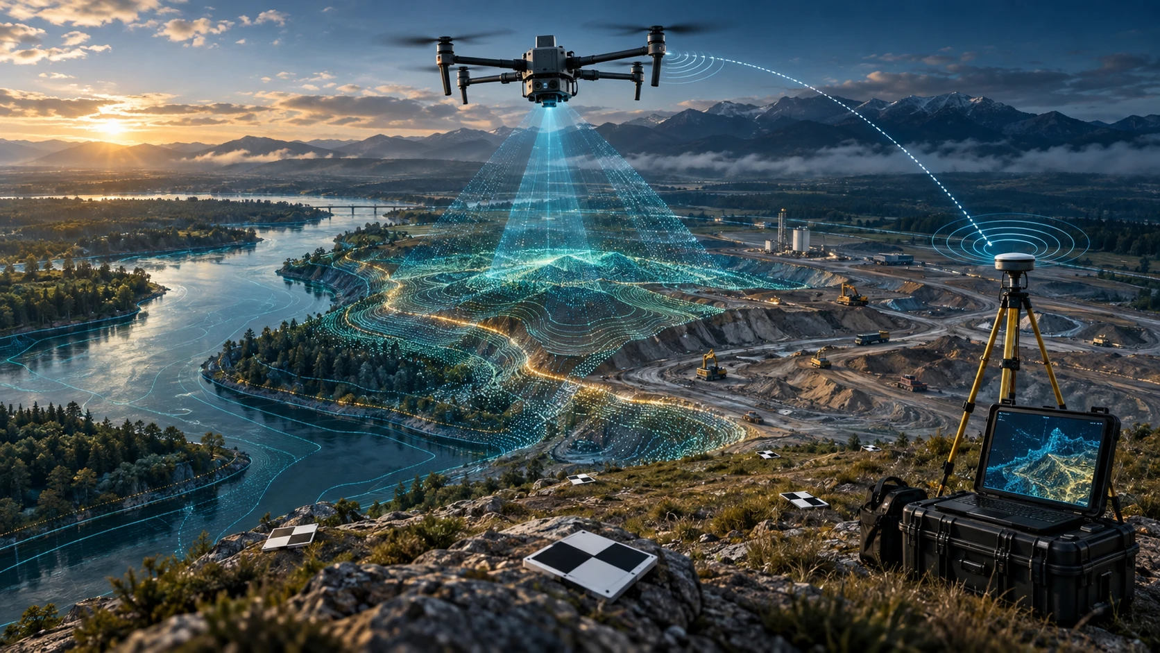
A GCP vs RTK vs PPK drone survey comparison helps project teams choose the right accuracy workflow before starting a drone mapping project. Ground Control Points, Real-Time Kinematic positioning, and Post-Processed Kinematic positioning are all used to improve the quality and reliability of drone survey outputs, but they are not the same.
For land mapping, construction monitoring, road surveys, mining volume calculation, canal mapping, real estate planning, and infrastructure documentation, accuracy matters. A drone may capture sharp images, but sharp images alone do not guarantee survey-grade data. The final output must be positioned correctly on the ground.
This guide explains how GCP, RTK, and PPK work, when to use each method, and how businesses can choose the right drone survey workflow.
What are GCP, RTK, and PPK in drone surveying?
GCP, RTK, and PPK are methods used to improve the positional accuracy of drone survey data. They help connect drone images, maps, models, and elevation outputs to real-world coordinates.
Here is the simple meaning:
| Method | Full form | Basic meaning |
|---|---|---|
| GCP | Ground Control Point | Marked points on the ground with known coordinates |
| RTK | Real-Time Kinematic | Live GNSS correction during the drone flight |
| PPK | Post-Processed Kinematic | GNSS correction applied after the flight during processing |
All three methods help improve georeferencing. Georeferencing means placing the drone survey output correctly on the earth’s coordinate system.
Skyglimps Technologies LLP provides 2D Surveying & Mapping for organisations that need aerial mapping, orthomosaic maps, site documentation, and survey-ready outputs.
What is a Ground Control Point in drone surveying?
A Ground Control Point, or GCP, is a clearly visible point placed or marked on the ground with accurately measured coordinates. These points are used during processing to align drone images with real-world positions.
A GCP is usually placed across the survey area before the drone flight. It must be visible in the aerial images. The survey team records its coordinates using suitable GNSS or survey equipment.
GCPs help improve:
- Orthomosaic accuracy
- DEM and DSM alignment
- Contour reliability
- 3D model positioning
- Volume calculation confidence
- GIS and CAD compatibility
- Repeat survey comparison
GCPs are especially useful when the final output will be used for measurement, engineering review, land records, volume calculation, or official documentation.
The main limitation is field effort. Placing and measuring GCPs takes time, trained personnel, site access, and proper distribution across the survey area.
What is RTK in drone surveying?
RTK, or Real-Time Kinematic positioning, uses live correction data during the drone flight to improve the drone’s camera-position accuracy. The correction is applied while the drone is flying.
In an RTK drone workflow, the drone receives correction data from a base station, network service, or compatible GNSS correction source. This helps the drone record more accurate image positions during capture.
RTK can help reduce the number of GCPs required because the drone’s image positions are already corrected during flight. This can save time on large sites, repeat surveys, and projects where placing many ground markers is difficult.
RTK is useful for:
- Construction progress mapping
- Large land surveys
- Road and corridor mapping
- Mining and quarry surveys
- Real estate site mapping
- Regular monitoring projects
- Open areas with good correction signal
The main limitation is dependence on correction reliability during flight. If correction signal is interrupted or weak, accuracy may be affected unless the workflow includes backup checks.
What is PPK in drone surveying?
PPK, or Post-Processed Kinematic positioning, applies GNSS corrections after the drone flight instead of during the flight. The drone records raw position data, and corrections are processed later.
PPK is useful when real-time correction may be unreliable or difficult to maintain in the field. Instead of needing a stable correction link throughout the flight, the data is corrected after capture using base station or reference data.
PPK can be helpful for:
- Remote sites
- Long corridors
- Areas with unstable network connectivity
- Large mapping projects
- Sites where RTK correction may drop
- Projects needing fewer GCPs
- Repeat mapping workflows
PPK still needs proper planning, compatible equipment, reliable GNSS data, and processing expertise. It is not a shortcut for poor field practice.
In many professional workflows, PPK is combined with checkpoints or a limited number of GCPs to validate final accuracy.
What is the main difference between GCP, RTK, and PPK?
The main difference is how the drone survey data is corrected and verified. GCP uses measured ground points during processing, RTK corrects image positions during flight, and PPK corrects image positions after the flight.
A practical comparison:
| Factor | GCP | RTK | PPK |
|---|---|---|---|
| Correction timing | During processing | During flight | After flight |
| Field markers needed | Yes | Fewer, but checkpoints recommended | Fewer, but checkpoints recommended |
| Internet or correction link | Not always required | Usually important during flight | Less dependent during flight |
| Field effort | Higher | Lower than full GCP workflow | Lower than full GCP workflow |
| Processing effort | Moderate | Moderate | Higher than RTK |
| Best for | High-confidence control and validation | Fast repeat mapping with live correction | Remote or corridor projects with post-processing |
| Risk | Poor GCP layout affects accuracy | Signal loss can affect correction | Processing quality and reference data matter |
There is no single best method for every project. The right method depends on the site, accuracy requirement, budget, deliverable, and field conditions.
Which method gives the best accuracy?
The best accuracy usually comes from a well-planned workflow that uses the right correction method plus independent checkpoints for validation. GCP, RTK, and PPK can all produce strong results when used correctly.
Accuracy depends on many factors, including:
- Drone sensor quality
- Flight altitude
- Image overlap
- Ground sampling distance
- GNSS quality
- GCP placement
- Checkpoint quality
- RTK or PPK correction quality
- Terrain complexity
- Processing settings
- Coordinate system
- Weather and lighting
- Surface visibility
A poor GCP layout can produce weak results. A poorly configured RTK workflow can also produce weak results. PPK can also fail if raw GNSS data or base/reference data is not handled correctly.
For measurement-heavy projects, the question should not be “Which method sounds more advanced?” The better question is: “How will final accuracy be checked?”
When should you use GCPs?
You should use GCPs when the drone survey output needs strong ground-based control, independent validation, or high confidence for measurement and engineering use. GCPs are especially useful when the survey result must align accurately with existing site data.
GCPs are suitable for:
- Land mapping
- Engineering surveys
- Construction layout support
- Mining volume calculation
- Road and infrastructure mapping
- Canal and embankment mapping
- High-value measurement projects
- Sites without reliable RTK or PPK workflow
- Projects needing strong validation evidence
GCPs are also useful as checkpoints even when RTK or PPK is used. In professional surveys, checkpoints help verify whether the final output is accurate enough for the intended purpose.
The main drawback is time. GCPs require physical placement, measurement, and visibility in drone images. On large, unsafe, restricted, or difficult-access sites, this can be challenging.
When should you use RTK?
You should use RTK when you need faster drone mapping with real-time correction and reduced ground-control effort. It is useful for repeat surveys and sites where live correction is available and reliable.
RTK is a strong option for:
- Construction progress surveys
- Real estate site mapping
- Open land mapping
- Regular project monitoring
- Stockpile surveys
- Road sections with manageable access
- Large sites where many GCPs would take time
RTK can reduce field setup time because fewer ground markers may be needed. However, it should not eliminate quality control. Independent checkpoints are still useful to confirm final output reliability.
RTK works best when the correction link is stable, the sky view is good, the GNSS environment is suitable, and the survey team understands how to configure the system properly.
When should you use PPK?
You should use PPK when real-time correction may be unreliable or when the project needs high-quality positioning with post-flight processing. It is often useful for remote sites, corridors, and areas with weak network connectivity.
PPK is suitable for:
- Transmission-line corridors
- Road and highway corridors
- Canal and waterway mapping
- Remote mining areas
- Rural land mapping
- Large survey sites
- Areas with unstable mobile network
- Projects where RTK correction may drop during flight
PPK gives flexibility because correction is applied after the flight. This reduces dependence on a live correction signal during capture.
However, PPK requires careful data management. The team must preserve flight logs, GNSS observations, base station data, reference data, and processing files correctly.
Should RTK or PPK replace GCPs completely?
RTK and PPK can reduce the number of GCPs needed, but they should not always replace ground validation completely. For professional survey projects, checkpoints remain important.
A checkpoint is different from a GCP. A GCP is used to align or control the model. A checkpoint is used to test the final output independently.
Even with RTK or PPK, checkpoints can help verify:
- Horizontal accuracy
- Vertical accuracy
- Model alignment
- DEM quality
- Contour reliability
- Volume calculation confidence
- Compatibility with project coordinates
For high-value engineering, billing, earthwork, mining, or government use, relying only on drone positioning without validation can be risky.
A practical approach is to use RTK or PPK for efficiency and checkpoints for confidence.
Which method is best for construction projects?
For construction projects, RTK or PPK with checkpoints is often useful for regular progress mapping, while GCPs may be needed for higher-accuracy measurement or baseline surveys. The right workflow depends on how the output will be used.
Construction teams may need drone surveys for:
- Progress tracking
- Excavation monitoring
- Cut-fill review
- Site documentation
- Road and drainage work
- Material zones
- Contractor reporting
- Client updates
If the survey is mainly for visual progress reporting, an RTK workflow with basic validation may be enough. If the survey is used for earthwork quantities, engineering review, or payment decisions, stronger control and checkpoints are recommended.
For recurring records, Skyglimps also supports Documentation & Progress Tracking for organisations that need dated aerial reports and project documentation.
Which method is best for mining and quarry surveys?
For mining and quarry surveys, RTK or PPK can improve efficiency, while GCPs and checkpoints help validate stockpile, excavation, and cut-fill measurements. Volume calculation depends strongly on surface accuracy.
Mining and quarry drone surveys may include:
- Stockpile volume calculation
- Quarry surface mapping
- Overburden measurement
- Cut-fill analysis
- Excavation tracking
- Haul road documentation
- Site progress comparison
For stockpile and cut-fill projects, vertical accuracy is especially important. A small elevation difference can affect calculated volume across a large pile or excavation area.
A professional mining workflow should clearly document the control method, base surface assumption, volume calculation method, and accuracy checks.
Which method is best for road, canal, and corridor mapping?
For road, canal, and corridor mapping, PPK or RTK can be useful because long linear projects may be difficult to cover with dense GCP placement. Checkpoints should still be used where measurement confidence is required.
Corridor projects may include:
- Road and highway mapping
- Transmission-line corridor mapping
- Canal and waterway mapping
- Pipeline route mapping
- Embankment surveys
- Railway-adjacent documentation
- Utility corridor inspection
PPK is often useful where connectivity is inconsistent or the project passes through rural, remote, vegetated, or difficult-access zones. RTK is useful where correction signal is stable along the route.
GCPs may still be placed at strategic intervals or critical locations, depending on the accuracy need and site accessibility.
Which method is best for real estate and land mapping?
For real estate and land mapping, GCP, RTK, or PPK can all be used depending on the site size, accuracy needs, and final deliverables. A small site may use GCPs effectively, while a larger site may benefit from RTK or PPK.
Real estate and land projects may need:
- Orthomosaic maps
- Boundary context
- Site access review
- Drainage visibility
- Construction progress records
- Terrain and contour outputs
- GIS-ready files
- Stakeholder reports
If the output is for planning and presentation, the workflow may be simpler. If the output is for measurement, design, or technical coordination, stronger survey control becomes more important.
Drone data should not replace legal cadastral verification, title checks, or statutory land documentation. It supports visual and spatial planning.
What deliverables are affected by GCP, RTK, and PPK?
GCP, RTK, and PPK affect deliverables that depend on correct positioning, elevation, and measurement. These include orthomosaics, DEMs, contours, point clouds, cross-sections, volume reports, and GIS/CAD files.
Common affected deliverables include:
| Deliverable | Why accuracy method matters |
|---|---|
| Orthomosaic map | Needs correct alignment with real-world coordinates |
| DEM / DSM | Elevation quality affects terrain analysis |
| Contour map | Wrong elevation can create misleading contours |
| Point cloud | Needs correct 3D positioning |
| Volume report | Surface errors can affect quantity calculation |
| Cross-sections | Require reliable horizontal and vertical data |
| GIS layers | Must align with existing spatial datasets |
| CAD exports | Must fit engineering coordinate systems |
| Progress comparison | Repeat surveys must align correctly across dates |
For advanced elevation and 3D workflows, Skyglimps Technologies LLP also provides 3D LiDAR & GIS Solutions for projects requiring point clouds, elevation models, GIS layers, and 3D spatial outputs.
What are the cost and effort differences?
GCP workflows usually require more field effort, while RTK and PPK can reduce ground setup time but may require specialised equipment and processing expertise. The total cost depends on site conditions and deliverables.
A simple comparison:
| Method | Field effort | Equipment need | Processing need | Practical note |
|---|---|---|---|---|
| GCP | Higher | GNSS or survey equipment for ground points | Standard photogrammetry with control points | Strong validation, but more time on site |
| RTK | Lower | RTK-capable drone and correction source | Standard processing with corrected image positions | Efficient when live correction is stable |
| PPK | Lower to moderate | PPK-capable drone and base/reference data | More post-processing discipline | Useful where live correction is unreliable |
| Hybrid workflow | Moderate | Mix of drone correction and checkpoints | Stronger QA process | Often best for professional projects |
Choosing the cheapest method can create problems if the final output is used for measurement. Choosing the most advanced method can also be unnecessary if the project only needs simple visual documentation.
The method should match the decision the client needs to make.
How should clients choose between GCP, RTK, and PPK?
Clients should choose between GCP, RTK, and PPK based on the project objective, accuracy requirement, site size, terrain, access conditions, budget, deliverables, and validation needs. The best method is the one that supports the final use of the data.
Use this decision guide:
| Project need | Recommended approach |
|---|---|
| Simple visual documentation | Basic drone mapping may be enough |
| Orthomosaic for planning | RTK, PPK, or GCP depending on accuracy need |
| Engineering-grade mapping | GCPs and checkpoints, with RTK/PPK if suitable |
| Regular construction progress | RTK or PPK with checkpoints |
| Mining volume calculation | RTK/PPK plus GCPs or checkpoints |
| Remote corridor mapping | PPK with strategic checkpoints |
| Small land parcel mapping | GCPs can be practical |
| Large-area survey | RTK or PPK with validation points |
Before the flight, the client should ask what accuracy method will be used, how it will be verified, and what limitations will be mentioned in the final report.
What questions should you ask before a drone survey?
Before commissioning a drone survey, clients should ask how the survey team will control, process, and verify the data. This helps prevent confusion after the report is delivered.
Ask these questions:
- Will the survey use GCP, RTK, PPK, or a combination?
- Will independent checkpoints be used?
- What accuracy level is required for the project?
- What coordinate system will be used?
- Is vertical accuracy important?
- Are DEMs, contours, or volumes required?
- Will outputs align with existing GIS or CAD data?
- How will the final data be validated?
- What assumptions will be documented?
- What file formats will be delivered?
- What site access is needed for control points?
- What limitations may affect the output?
A professional drone survey partner should explain this clearly before the project begins.
Why choose Skyglimps Technologies for drone surveying?
Skyglimps Technologies LLP is a Kolkata-based drone services company and DGCA-certified Remote Pilot Training Organisation serving government and enterprise clients across Eastern India. The company supports drone-enabled workflows across surveying, mapping, LiDAR, GIS, inspections, documentation, surveillance, and training.
Skyglimps Technologies, a DGCA-certified RPTO in Kolkata, is positioned for organisations that need structured aerial data and professional survey outputs for construction, mining, roads, irrigation, real estate, utilities, urban planning, and infrastructure projects.
For projects in Kolkata, West Bengal, Jharkhand, Odisha, and Eastern India, local coordination can help improve site scoping, field execution, control planning, repeat monitoring, and reporting clarity.
A GCP vs RTK vs PPK drone survey decision should never be made randomly. It should be selected based on the final deliverable, accuracy requirement, terrain, access, and business decision.
FAQ: GCP vs RTK vs PPK Drone Survey
A GCP is a Ground Control Point with known coordinates. It helps align drone images, maps, models, and elevation outputs with real-world positions.
RTK stands for Real-Time Kinematic. It applies live GNSS corrections during flight to improve the drone’s image-position accuracy.
PPK stands for Post-Processed Kinematic. It applies GNSS corrections after the flight during data processing instead of relying on live correction during capture.
RTK can reduce field effort, but GCPs and checkpoints still provide strong validation. The better method depends on project accuracy needs and site conditions.
PPK is useful where real-time correction may be unreliable. RTK is efficient when live correction is stable. Both should be validated for professional survey use.
RTK drones may need fewer GCPs, but independent checkpoints are still recommended when the output is used for measurement, engineering, or official reporting.
Choose based on project objective, accuracy requirement, site access, terrain, deliverables, budget, and validation needs. Professional projects often use a combined workflow.
Choose the right accuracy workflow before the flight
A GCP vs RTK vs PPK drone survey decision affects the quality, reliability, and usability of your final mapping deliverables. GCPs provide strong ground-based control. RTK improves image positioning during flight. PPK applies correction after the flight and can be useful for remote or corridor projects.
The best method is not always one method alone. Many professional drone survey workflows combine RTK or PPK efficiency with checkpoints or GCPs for validation.
If your organisation needs orthomosaic maps, DEMs, contours, volume reports, GIS-ready files, CAD-ready outputs, or professional site mapping in Kolkata, West Bengal, or Eastern India, connect with Skyglimps Technologies LLP through the 2D Surveying & Mapping service page and share your project location, accuracy requirement, and required deliverables.