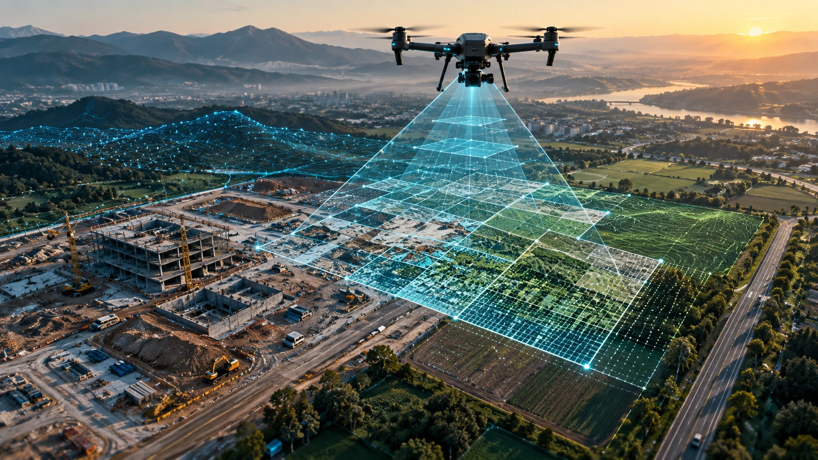
Businesses are increasingly choosing drone survey Kolkata services because drone-based project monitoring gives them faster site visibility, better progress records, safer inspections, and clearer decision-making data. For construction, infrastructure, real estate, utilities, mining, and government-linked projects, drones help teams see what is happening on-site without relying only on manual visits or scattered photographs.
Kolkata, New Town, Howrah, Durgapur, Haldia, Siliguri, and other parts of West Bengal are seeing steady demand for better project documentation and faster reporting. When a project is spread across land parcels, industrial zones, roads, canals, rooftops, or construction areas, drone surveys can capture the site from above and convert visual data into maps, progress records, and planning-ready outputs.
This guide explains why businesses in Kolkata are using drone surveys for project monitoring, what outputs they can expect, and how to choose the right drone survey partner.
What is a drone survey for project monitoring?
A drone survey for project monitoring uses aerial data to track the physical progress, condition, and changes of a site over time. It helps project owners, engineers, contractors, and management teams compare planned work with actual site progress.
Unlike a one-time drone shoot, project monitoring is usually repeated at defined intervals. The drone captures high-resolution aerial images, videos, maps, or models so the project team can review progress from a wider and more accurate visual perspective.
Drone-based project monitoring can be used for:
- Construction progress tracking
- Land development updates
- Road and infrastructure projects
- Industrial site documentation
- Irrigation and canal work
- Mining and stockpile monitoring
- Utility corridor inspection
- Smart city and urban planning documentation
- Real estate project reporting
- Government and enterprise project records
A drone survey gives decision-makers a complete site overview. Instead of depending only on ground-level photos, teams can see access roads, completed work, pending areas, material movement, structural progress, site boundaries, and surrounding conditions in one visual frame.
Why are Kolkata businesses adopting drone surveys?
Businesses in Kolkata are adopting drone surveys because they need faster reporting, better site visibility, safer monitoring, and clearer documentation for complex projects. Drone surveys help teams reduce repeated manual visits while improving the quality of project updates.
Many businesses operate across multiple sites. A construction company may manage projects in New Town, Salt Lake, Rajarhat, Howrah, and other parts of West Bengal. An infrastructure contractor may need progress documentation across roads, bridges, canals, or industrial zones. A utility or enterprise team may need periodic inspection of assets spread over large areas.
Drone surveys help these teams solve common monitoring problems:
- Site updates are delayed.
- Ground photos do not show the full project.
- Management cannot visit every location.
- Progress claims are difficult to verify.
- Large sites take too long to inspect manually.
- Safety risks exist in active work zones.
- Documentation is inconsistent across months.
- Contractors and stakeholders need visual proof.
Aerial data makes project discussions more objective. Instead of relying only on verbal updates, teams can review dated visual records, maps, and progress comparisons.
For businesses looking for structured aerial mapping and site documentation, Skyglimps Technologies LLP provides 2D Surveying & Mapping services for professional project visibility.
How does a drone survey improve project monitoring?
A drone survey improves project monitoring by capturing consistent aerial data that can be compared across different dates. This helps businesses identify delays, measure visible progress, document site conditions, and improve coordination between teams.
A normal site visit shows what a person can see from ground level. A drone survey shows the full project layout from above. This is useful when the site is large, crowded, difficult to access, or spread across multiple work zones.
Drone survey data can support project monitoring in several ways:
| Monitoring need | How drone survey helps |
|---|---|
| Progress tracking | Captures dated aerial records of completed and pending work |
| Management reporting | Gives leadership a clear visual overview of the site |
| Contractor coordination | Helps compare planned work with actual progress |
| Safety review | Reduces the need for people to enter risky or restricted areas |
| Site documentation | Creates a visual record for internal and external reporting |
| Dispute reduction | Provides objective progress evidence when timelines are questioned |
| Planning support | Shows access, material placement, work zones, and site constraints |
| Repeat monitoring | Enables month-on-month or stage-wise comparison |
For construction and infrastructure teams, repeat drone surveys can become part of the project reporting system. When captured consistently, aerial records help teams understand how the site is changing over time.
Businesses that need recurring visual updates can also explore documentation and progress tracking for construction, infrastructure, and enterprise projects.
What types of Kolkata projects benefit from drone survey monitoring?
Drone survey monitoring benefits projects where site progress, spatial layout, safety, and visual documentation are important. It is especially useful for large sites, active work zones, infrastructure corridors, industrial assets, and projects with multiple stakeholders.
In Kolkata and Eastern India, drone survey use cases can include:
- Real estate and construction sites
- New Town and urban development projects
- Industrial facilities and warehouses
- Road and bridge works
- Irrigation and water resource projects
- Mining and earthwork sites
- Solar and power infrastructure
- Railway and utility corridors
- Port and logistics-related assets
- Agriculture and land development
- Smart city and civic planning work
For real estate developers, drone surveys provide visual progress records that can support internal reporting and stakeholder updates. For infrastructure contractors, drones help document long corridors, earthwork, access roads, and visible construction stages. For industrial operators, drone data can support inspection, maintenance planning, and site documentation.
For planning authorities and developers, drone data also supports better visibility across urban planning and smart city projects, especially where site-level documentation needs to be reviewed by multiple departments.
Is drone survey faster than manual project monitoring?
Drone surveys are faster than manual monitoring for large, complex, or difficult-to-access sites because a drone can capture wide-area aerial data in a shorter field window. Manual monitoring remains useful for close inspection, measurements, and ground-level verification.
Manual project monitoring often requires engineers, supervisors, or site teams to physically move across different parts of the site. This takes time, especially when the area is large, muddy, congested, unsafe, or operationally active.
Drone monitoring is faster because it can:
- Cover large areas from above
- Capture hard-to-reach sections
- Reduce repeated walking across the site
- Create consistent visual records
- Support quick management review
- Document areas that are difficult to photograph from ground level
Speed is not only about flight time. A professional drone survey also includes planning, airspace checks, data capture, processing, and delivery. However, the overall monitoring workflow can become more efficient because the team receives a complete site view instead of scattered ground photos.
The best approach is often hybrid. Drone surveys provide the big-picture view, while site engineers and survey teams verify specific details on the ground.
How accurate is drone survey data for project monitoring?
Drone survey data can be highly useful for project monitoring when the survey is planned with the right flight parameters, overlap, ground reference, and processing workflow. The required accuracy depends on whether the client needs visual progress records, mapping outputs, contours, or engineering-grade data.
For project monitoring, not every task requires the same level of accuracy. A monthly progress record may need clear visual comparison. A topographic or quantity-related assignment may need stronger ground control and more technical processing.
Drone survey accuracy depends on:
- Site conditions
- Drone flight height
- Image overlap
- Weather and lighting
- Camera or sensor quality
- Ground control points
- Processing method
- Coordinate system
- Final deliverable format
- Quality checks
For basic progress monitoring, drone photographs, videos, and orthomosaic maps may be enough. For measurement-oriented work, ground control and survey-grade workflows become more important.
Businesses should discuss the final use of the data before the survey. If the output will be used for planning, reporting, quantities, or engineering decisions, the scope should clearly mention accuracy expectations and deliverable formats.
What deliverables can businesses expect from a drone survey?
Businesses can expect drone survey deliverables such as aerial images, videos, orthomosaic maps, progress reports, contour maps, 3D models, point clouds, and GIS-ready files depending on the project scope. The deliverables should be clearly defined before work begins.
Common deliverables include:
- High-resolution aerial photographs
- Aerial videos for project overview
- Orthomosaic maps
- Stage-wise progress reports
- Site comparison visuals
- Contour maps
- DEM or DSM outputs
- 3D models
- Point cloud data
- GIS or CAD-compatible files
- Volume or earthwork reports
- Presentation-ready documentation
A business should not assume that every drone survey includes every output. A simple documentation flight may include photos and videos. A mapping assignment may include orthomosaics and GIS files. A technical survey may include contours, models, or point clouds.
For advanced terrain, infrastructure, or spatial data requirements, businesses can also explore 3D LiDAR & GIS solutions, depending on the project objective.
Before finalising a drone survey company, ask for a clear deliverables list with file formats, delivery timelines, and usage limitations.
How should businesses choose a drone survey company in Kolkata?
Businesses should choose a drone survey company in Kolkata by checking compliance, survey experience, deliverable clarity, data processing capability, safety process, and local project understanding. The right partner should offer more than drone flying.
A professional drone survey company should be able to explain the full workflow from planning to final data delivery. It should understand airspace checks, site safety, data capture, post-processing, and project reporting.
Before hiring, ask these questions:
- Are your pilots trained and qualified for professional drone operations?
- Do you check airspace and site restrictions before flying?
- What deliverables will I receive?
- Will you provide maps, reports, or only photos and videos?
- How do you manage accuracy and ground reference?
- What file formats will be delivered?
- How do you handle safety at active sites?
- Can the survey be repeated at regular intervals?
- What is included in the quotation?
- How will the data be handed over?
For Kolkata-based projects, local experience matters. A team that understands urban density, construction zones, industrial areas, water bodies, and regional project conditions can plan more efficiently.
Why choose Skyglimps Technologies for drone survey Kolkata services?
Skyglimps Technologies LLP is a Kolkata-based drone services company and DGCA-certified Remote Pilot Training Organisation serving government and enterprise clients across Eastern India. The company supports professional drone workflows for surveying, mapping, inspections, surveillance, documentation, and training.
Skyglimps Technologies, a DGCA-certified RPTO in Kolkata, is positioned for businesses that need structured drone survey services with compliance awareness and practical project understanding. Its services can support construction teams, infrastructure companies, public-sector projects, industrial operators, and planning teams that require better site visibility.
For businesses evaluating drone survey Kolkata services, a local partner can make coordination easier. Site meetings, repeat surveys, project scoping, documentation support, and follow-up communication become more efficient when the drone team understands the region and project environment.
FAQ: Drone Survey Kolkata
Drone survey Kolkata services are used for project monitoring, land mapping, construction progress tracking, infrastructure documentation, industrial site surveys, urban planning, mining, irrigation, and utility inspections.
Businesses use drone surveys because they provide faster site visibility, dated progress records, safer inspections, better reporting, and clearer visual proof for management and stakeholders.
Drone surveys do not replace every manual site visit. They reduce repeated field effort and improve visual documentation, while engineers and surveyors still verify specific ground-level details when needed.
Deliverables may include aerial images, videos, orthomosaic maps, progress reports, contour maps, 3D models, point clouds, GIS files, and CAD-compatible outputs depending on project scope.
Yes. Drone surveys help construction teams monitor progress, document work stages, compare site changes, review access, and share visual updates with management or stakeholders.
requency depends on project speed and reporting needs. Many projects use drone monitoring at key milestones, monthly intervals, or before major review meetings.
Choose a company that understands compliance, safety, mapping workflows, deliverables, accuracy, data processing, and local project conditions. Ask for a clear scope before approving the quote.
Get better project visibility with drone survey in Kolkata
Drone surveys are becoming an important project monitoring tool for businesses that need faster, clearer, and more reliable site documentation. For large sites, active work zones, infrastructure projects, construction developments, and industrial assets, aerial data gives decision-makers a better view of progress and risk.
If your business needs drone mapping, site progress documentation, construction monitoring, or aerial survey support in Kolkata, West Bengal, or Eastern India, connect with Skyglimps Technologies LLP through the 2D Surveying & Mapping service page and share your project location, site size, and required deliverables.