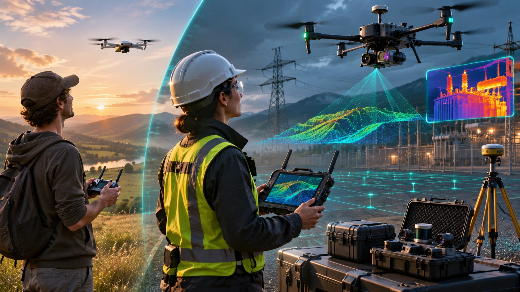
Learning how to fly a drone can be an interesting hobby, but professional drone careers require a much broader skill set.
Companies working in surveying, infrastructure, construction, power, energy, mining, agriculture and industrial inspection are not simply looking for someone who can make a drone take off and land.
They need people who understand how drones are used to capture useful data, operate specialised sensors, follow safety procedures and support real project workflows.
This is where industry grade drone training becomes different from hobby flying.
A hobby flyer may focus on:
- Basic flight controls
- Aerial photography
- Recreational flying
- Simple camera movements
An industry-trained drone professional may need to understand:
- RTK and positioning
- LiDAR data capture
- Thermal inspection
- Survey mission planning
- Data quality
- Payloads and sensors
- Risk assessment
- Regulations
- Field operations
- Data processing
- Client deliverables
The difference is simple:
Hobby flying teaches you to operate a drone. Industry-grade training teaches you how to use a drone as a professional tool.
What Is Industry-Grade Drone Training?
Industry-grade drone training is designed around professional applications rather than recreational flying.
The objective is to help a learner understand the complete workflow:
Planning → Drone Operation → Sensor/Data Capture → Processing → Quality Control → Deliverables
Depending on the specialisation, training may include:
- DGCA-related regulatory knowledge
- Practical drone flying
- Flight planning
- Survey missions
- RTK workflows
- Mapping
- LiDAR
- Thermal imaging
- RGB inspection
- Risk assessment
- Drone maintenance
- Data processing
- GIS
- Quality control
SkyGlimps currently offers structured drone training in Kolkata covering DGCA-certified pilot training, drone mapping and surveying, FPV, aerial cinematography and customised industry-focused training.
This type of training is particularly relevant for learners who want to move from basic drone operation to professional drone applications.
Hobby Flying vs Industry-Grade Drone Training
The difference becomes clearer when comparing the skills and outcomes.
| Hobby Flying | Industry-Grade Training |
|---|---|
| Focuses on recreational flying | Focuses on professional applications |
| Basic flight control | Advanced operational skills |
| Mostly visual observation | Data-driven workflows |
| Consumer-oriented drones | Enterprise and specialised platforms |
| Basic camera use | Professional sensors and payloads |
| Limited mission planning | Structured mission planning |
| Little emphasis on deliverables | Focus on usable project outputs |
| Personal projects | Commercial and enterprise projects |
| Informal learning | Structured technical training |
Neither approach is inherently wrong.
If you simply want to fly a drone recreationally, basic training may be enough.
But if your objective is to work in surveying, mapping, infrastructure inspection or enterprise drone operations, you need skills beyond basic flying.
Why Are Enterprise Drone Skills Becoming More Valuable?
A drone becomes much more valuable to a business when it can collect information that supports a decision.
For example:
A construction company may not simply want aerial photographs.
It may need:
- Site maps
- Progress comparisons
- Measurements
- 3D models
- Volume calculations
- Project documentation
An infrastructure company may need:
- Asset inspection
- Thermal anomalies
- Structural documentation
- GIS information
- Repeat monitoring
A mining company may need:
- Stockpile measurements
- Terrain information
- Volume calculations
- Site mapping
This is why professional drone careers increasingly involve data capture and interpretation, not just flying.
What Is RTK Drone Technology?
RTK stands for Real-Time Kinematic.
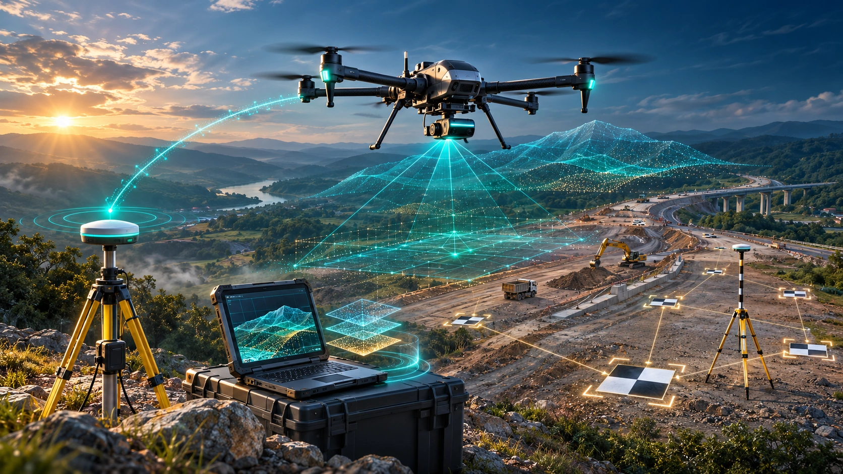
RTK is a positioning technology that can improve the positional accuracy of drone data by using correction information along with satellite positioning.
For mapping and surveying, this can be particularly useful when accurate positioning is important.
RTK-enabled drones can support workflows involving:
- Survey mapping
- Construction
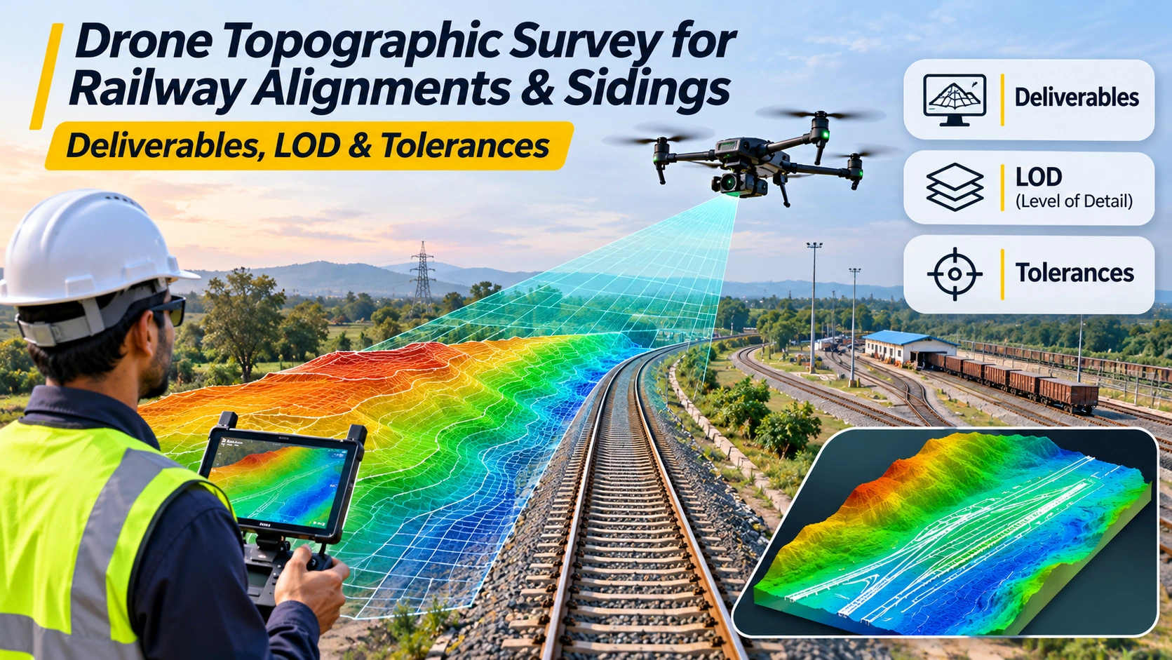
- Topographic surveys
- Infrastructure projects
- Land mapping
- Corridor mapping
- GIS data collection
However, RTK does not automatically make every drone survey accurate.
Accuracy also depends on factors such as:
- Flight planning
- Camera quality
- Ground conditions
- Satellite visibility
- Correction service
- Ground control
- Processing workflow
- Quality assurance
This is why simply learning how to operate an RTK drone is not enough.
You need to understand why and when RTK is used.
SkyGlimps’ current Drone Mapping & Surveying Course specifically covers RTK drones along with mission planning, accuracy, GCPs, coordinate systems, mapping sensors and real-world mapping workflows.
Why Should Drone Professionals Learn RTK?
RTK knowledge can be useful when working on projects where positioning and mapping accuracy are important.
A professional who understands RTK can better understand:
- Positioning requirements
- Mission setup
- Correction workflows
- Accuracy limitations
- Ground control requirements
- Survey outputs
- Quality checks
This can make the learner more useful to surveying, engineering and geospatial teams.
The key is to learn RTK as part of a complete mapping workflow, rather than treating it as a drone feature that automatically solves accuracy problems.
What Is LiDAR Drone Technology?
LiDAR stands for Light Detection and Ranging.
A LiDAR system uses laser pulses to measure distances and create dense three-dimensional point-cloud data.
Drone-based LiDAR can be useful for projects involving:
- Terrain mapping
- Infrastructure
- Forestry
- Power corridors
- Mining
- Engineering
- Urban planning
- Environmental monitoring
The output can include:
- Point clouds
- 3D models
- Terrain models
- Elevation data
- Digital twins
- GIS datasets
SkyGlimps describes its 3D LiDAR and GIS workflow as combining aerial and terrestrial LiDAR capture with GIS processing to create point clouds, terrain maps, elevation models, 3D models and GIS-ready datasets.
Why Is LiDAR Knowledge Valuable for Drone Professionals?
LiDAR introduces a completely different type of drone workflow.
A pilot needs to understand more than flight.
They may need to understand:
- Sensor setup
- Mission planning
- Point-cloud capture
- Positioning
- Terrain
- Data quality
- Processing
- GIS
- Final deliverables
For example, a drone operator working on a power-line corridor may need to understand how aerial LiDAR data can contribute to terrain and vegetation analysis.
A mining project may require LiDAR data for terrain and volume analysis.
An infrastructure project may use 3D data for planning and monitoring.
This makes LiDAR a valuable specialised skill for professionals entering geospatial and infrastructure-focused drone work.
What Is Thermal Drone Inspection?
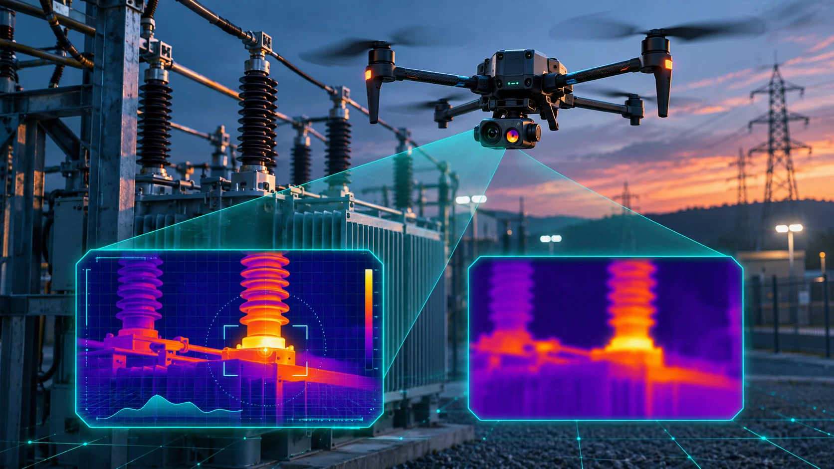
Thermal drone inspection uses infrared cameras to detect temperature differences that may not be visible through normal RGB imagery.
Thermal cameras can help identify patterns associated with:
- Electrical overheating
- Solar-panel hotspots
- Equipment heat buildup
- Insulation issues
- Moisture-related thermal patterns
- Heat loss
- Abnormal temperature zones
RGB cameras, by comparison, capture conventional visual information such as:
- Cracks
- Corrosion
- Surface damage
- Missing components
- Physical deformation
- Soiling
- Vegetation growth
SkyGlimps’ Thermal & RGB Inspection service combines visual and thermal data for applications involving infrastructure, energy, agriculture and facilities management.
Why Should Drone Pilots Learn Thermal Inspection?
Thermal imaging can add another layer of information to a drone inspection.
Instead of simply asking:
“What can I see?”
an inspection team may also need to ask:
“What temperature differences can the sensor detect?”
This can be valuable in areas such as:
Solar Inspection
Thermal imagery can help identify abnormal heat patterns and potential hotspots.
Electrical Infrastructure
Thermal data can help identify temperature anomalies that may require further investigation.
Industrial Facilities
Thermal inspections can support monitoring of equipment and difficult-to-access areas.
Buildings and Roofs
Thermal data can help identify temperature patterns associated with insulation or moisture-related issues.
However, thermal imagery should be interpreted correctly. A thermal image is not automatically proof of a specific fault. Environmental conditions, emissivity, reflections and equipment operating conditions can affect the data.
This is why professional thermal inspection training should include sensor understanding and data interpretation, not just camera operation.
What Skills Do Employers Look for in Professional Drone Operators?
There is no single skill that guarantees a drone job.
Employers may look for combinations of:
- Valid pilot training or certification where applicable
- Practical flying ability
- Safety awareness
- Mission planning
- Equipment knowledge
- Mapping skills
- Sensor knowledge
- Data processing
- GIS
- Industry knowledge
- Reporting
- Communication
For example, a company hiring for a drone surveying role may value someone who understands both drone operation and survey data.
An inspection company may prefer someone familiar with RGB and thermal sensors.
A geospatial company may value knowledge of RTK, photogrammetry, LiDAR and GIS.
This is why the strongest career path is usually not:
Learn drone → Find job
It is:
Learn drone → Develop specialised skills → Build project experience → Build a professional portfolio → Apply for relevant roles
Which Industries Need Advanced Drone Skills?
Advanced drone platforms are used across multiple sectors.
Surveying and Mapping
Drone professionals can support:
- Topographic surveys
- Orthomosaic mapping
- Terrain models
- GIS
- Construction surveys
- Land mapping
Construction
Drone data can support:
- Progress monitoring
- Site documentation
- Measurements
- Mapping
- Earthwork analysis
Power and Energy
Applications can include:
- Transmission-line inspection
- Solar inspection
- Thermal monitoring
- Corridor mapping
- Infrastructure documentation
Mining
Drone technology can support:
- Stockpile surveys
- Volume calculations
- Terrain mapping
- Site documentation
- Progress monitoring
Infrastructure
Potential applications include:
- Roads
- Bridges
- Irrigation systems
- Industrial facilities
- Large construction projects
Agriculture
Drone professionals may work with:
- Field mapping
- Crop monitoring
- Agricultural imaging
- Survey data
The required drone, sensor, training and regulatory requirements vary by application.
Does DGCA Certification Alone Make You Job-Ready?
Not necessarily.
A Remote Pilot Certificate can be an important part of a professional drone career where certification is applicable, but it does not automatically make someone a surveyor, LiDAR operator or thermal inspection specialist.
This distinction is important.
DGCA-authorised training develops remote-pilot knowledge and practical flying skills. Specialised training develops the skills required for particular industry applications.
For example:
| Career Goal | Additional Skills |
|---|---|
| Drone Pilot | Flight, safety, regulations |
| Survey Drone Operator | Mapping, photogrammetry, accuracy |
| Mapping Professional | RTK, GCPs, GIS, processing |
| LiDAR Operator | LiDAR capture, point clouds, GIS |
| Inspection Professional | RGB, thermal, reporting |
| FPV Professional | FPV controls, building, cinematography |
| Infrastructure Drone Operator | Mapping, inspection, mission planning |
SkyGlimps itself distinguishes between DGCA pilot training and specialised courses such as Drone Mapping & Surveying, FPV Drone Building & Training and Aerial Cinematography.
The right combination depends on the career you want to pursue.
What Does an Industry-Grade Drone Training Path Look Like?
A professional learning path can be built in stages.
Step 1: Learn Drone Fundamentals
Understand:
- Drone components
- Flight principles
- Controls
- Batteries
- Payloads
- Basic maintenance
Step 2: Complete Appropriate Pilot Training
If your intended operation requires a Remote Pilot Certificate, complete the applicable training pathway through an authorised RPTO.
DGCA defines an RPTO as an organisation authorised to provide remote-pilot training for candidates seeking an RPC.
Step 3: Choose an Industry Specialisation
Select an area based on your career goal:
- Mapping
- Surveying
- LiDAR
- Inspection
- Thermal
- Agriculture
- Infrastructure
- FPV
- Cinematography
Step 4: Learn Enterprise Equipment
Get practical exposure to the platforms and sensors used in your chosen field.
Step 5: Learn Data Workflows
Understand how raw drone data becomes a useful project output.
For example:
Drone → Data Capture → Processing → Analysis → Report
Step 6: Build Project Experience
Work on sample or supervised projects that demonstrate your ability to complete a workflow.
Step 7: Build a Specialised Portfolio
Your portfolio should show:
- What you captured
- Which equipment you used
- What problem you solved
- What data you produced
- What the final deliverable looked like
This is much more useful to an employer than simply writing “Drone Pilot” on a CV.
What Should You Look for in Industry Grade Drone Training?
Before choosing a programme, ask practical questions.
Does the Training Include Real Flying?
Simulator training is useful, but practical flying is essential for building field confidence.
Does It Cover Regulations and Safety?
Professional training should explain applicable regulations, airspace, risk assessment and safe operating procedures.
Does It Include Enterprise Platforms?
If your goal is surveying or inspection, ask whether the training provides exposure to relevant platforms and sensors.
Does It Teach Data Processing?
Capturing data is only one part of a professional drone workflow.
Does It Include RTK or Mapping?
For surveying and geospatial careers, RTK, GCPs, accuracy and mapping workflows can be highly relevant.
Does It Include Thermal or LiDAR?
If you want to work in inspection or advanced geospatial projects, specialised sensor training can help differentiate your skill set.
Is the Training Customisable?
Enterprise teams may have different requirements from individual beginners.
SkyGlimps currently offers customised drone training for individuals, companies, institutions and government bodies, with programmes that can be designed around applications such as mapping, inspection, FPV or media.
Can Industry-Grade Drone Training Actually Help You Get Hired?
It can strengthen your employability, but advanced equipment alone does not guarantee a job.
An employer may be more interested in someone who can say:
“I can operate an RTK mapping drone, plan a survey mission, understand GCPs, process the data and deliver a usable mapping output.”
rather than:
“I know how to fly a drone.”
Similarly, for inspection:
“I understand RGB and thermal capture and can support inspection reporting.”
is more professionally useful than:
“I have flown a drone for two years.”
The difference is application knowledge.
Companies hire people to solve problems.
If you can connect drone technology with a real business or engineering requirement, your skill set becomes more valuable.
Where Can You Learn Industry-Focused Drone Skills in India?
SkyGlimps currently offers professional drone education in Kolkata through a range of programmes, including DGCA-certified small-category pilot training, Drone Mapping & Surveying, FPV Drone Building & Training, Aerial Cinematography and customised drone training.
Its current DGCA-certified pilot programme covers regulatory knowledge, flight fundamentals, weather, maintenance, risk assessment, safety, payload operations, simulator training, practical flying, night flying and final assessment.
For learners interested in specialised enterprise workflows, SkyGlimps also provides professional services involving 2D mapping, 3D LiDAR, thermal and RGB inspection, surveillance and project documentation, giving context to how these technologies are used in actual projects.
Explore SkyGlimps Industry-Relevant Drone Training
Frequently Asked Questions
Industry-grade drone training prepares learners for professional drone applications rather than hobby flying. It can include pilot training, safety, regulations, mission planning, specialised sensors, mapping, inspection, data processing and real-world project workflows.
Yes. RTK knowledge can be valuable for careers involving surveying, mapping, construction, infrastructure and other applications where accurate positioning is important. RTK should be learned as part of a complete survey and data workflow.
LiDAR allows drones to capture dense three-dimensional point-cloud data that can support terrain mapping, infrastructure projects, forestry, mining, power corridors and other geospatial applications. Professional LiDAR work requires knowledge of both sensor operation and data processing.
Yes. Thermal drone training can help operators understand infrared data and support inspection workflows involving solar assets, electrical systems, industrial equipment, buildings and infrastructure. Thermal data should be interpreted within the appropriate environmental and technical context.
Not always. Where applicable, DGCA certification can provide the recognised pilot-training pathway, but specialised jobs may also require mapping, GIS, RTK, LiDAR, thermal, inspection, data-processing or industry-specific skills.
Build Skills That Go Beyond Hobby Drone Flying
The drone industry is moving beyond simply putting cameras in the sky.
Professional organisations increasingly use drones as data-capture and intelligence platforms.
That means the most valuable skill is not simply:
“I can fly a drone.”
It is:
“I can use the right drone, sensor and workflow to solve a professional problem.”
For surveying, that could mean understanding RTK, GCPs, photogrammetry and GIS.
For advanced geospatial work, it could mean LiDAR and 3D data.
For inspections, it could mean RGB and thermal imaging.
For infrastructure projects, it could mean combining flight planning, sensor operation, data processing and reporting.
A strong career path can therefore look like:
DGCA Pilot Training → Specialised Platform Training → Data Processing → Industry Experience → Professional Portfolio
SkyGlimps offers both DGCA-certified pilot training and specialised drone programmes designed around mapping, FPV, cinematography and customised professional requirements.
Hobby flying can be where your interest begins.
But if your goal is a professional drone career, industry-grade training is what helps turn that interest into an employable skill set.