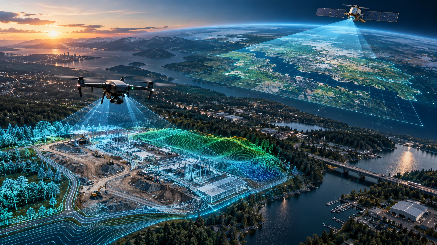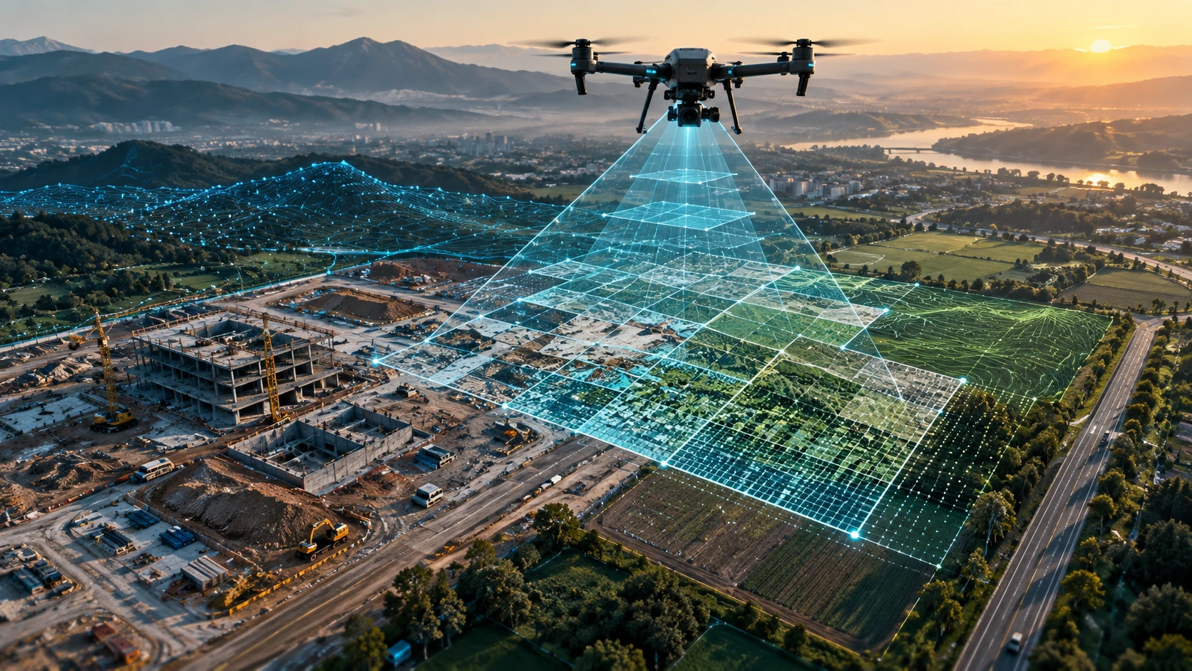
Ground sampling distance drone mapping is an important concept for project teams that need clear, useful, and measurement-ready aerial data. GSD tells you how much real-world ground area is represented by one pixel in a drone image. In simple terms, it helps explain the level of detail your drone survey can capture.
For example, if a drone map has a GSD of 3 cm per pixel, each pixel represents about 3 cm on the ground. A lower GSD value means finer detail. A higher GSD value means coarser detail. This matters for orthomosaic maps, construction progress tracking, land mapping, stockpile measurement, road surveys, canal mapping, inspection documentation, and GIS or CAD deliverables.
This guide explains what GSD means, why it matters, what affects it, and how clients should discuss GSD before a drone mapping project begins.
What is Ground Sampling Distance in drone mapping?
Ground Sampling Distance, or GSD, is the real-world distance represented by one image pixel on the ground. It is usually expressed in centimetres per pixel, such as 2 cm/pixel, 3 cm/pixel, or 5 cm/pixel.
A smaller GSD means the drone image captures finer detail. A larger GSD means each pixel covers more ground, so smaller objects may not be visible clearly.
For example:
| GSD value | What it means |
|---|---|
| 1 cm/pixel | One pixel represents 1 cm on the ground |
| 3 cm/pixel | One pixel represents 3 cm on the ground |
| 5 cm/pixel | One pixel represents 5 cm on the ground |
| 10 cm/pixel | One pixel represents 10 cm on the ground |
GSD is not just a technical number. It affects how much detail a map can show and whether the output is suitable for the client’s use case.
Skyglimps Technologies LLP provides 2D Surveying & Mapping for organisations that need aerial maps, orthomosaic outputs, site documentation, and survey-ready visual data.
Why does GSD matter in drone surveys?
GSD matters because it controls the practical image detail available in the final drone map. If the GSD is too high, the map may not show small features clearly enough for the project requirement.
GSD affects:
- Orthomosaic map detail
- Visibility of site features
- Interpretation of small objects
- Measurement confidence
- Construction progress review
- Stockpile and terrain visibility
- Road and drainage documentation
- Inspection context
- GIS and CAD usability
- Final report clarity
A construction team may need to see small drains, road edges, foundations, stockpiles, or work zones. A mining team may need surface detail for volume review. A real estate team may need clear site access and development features. A canal mapping project may need visible banks, embankments, and nearby drainage conditions.
The right GSD depends on what the client needs to identify, measure, or report.
Is lower GSD always better?
Lower GSD gives finer image detail, but it is not always better for every project. A lower GSD usually requires flying lower, capturing more images, using more storage, spending more flight time, and increasing processing load.
For example, a 1 cm/pixel survey may capture more detail than a 5 cm/pixel survey. However, it may also take longer to fly and process. If the project only needs a general progress overview, very fine GSD may not be necessary.
A practical view:
| Project need | Typical GSD approach |
|---|---|
| General visual documentation | Moderate GSD may be enough |
| Construction progress tracking | Lower to moderate GSD may be useful |
| Stockpile and terrain mapping | GSD should match measurement needs |
| Road or canal mapping | GSD should match corridor detail needs |
| Small feature identification | Lower GSD is usually better |
| Large-area overview | Moderate GSD may be more efficient |
The goal is not to choose the smallest number possible. The goal is to choose the GSD that supports the project decision.
What factors affect GSD?
GSD is affected mainly by flight height, camera sensor size, image resolution, focal length, and the distance between the drone and the ground surface. Terrain variation can also change effective GSD across a site.
Key factors include:
| Factor | How it affects GSD |
|---|---|
| Flight altitude | Higher flights usually increase GSD |
| Camera resolution | Higher resolution can support finer detail |
| Sensor size | Affects how much ground detail is captured |
| Focal length | Changes the field of view and ground coverage |
| Terrain height | Uneven ground can create different effective GSD |
| Camera angle | Oblique images may have variable GSD |
| Image sharpness | Poor focus or blur can reduce useful detail |
| Flight stability | Motion blur can reduce effective image quality |
A planned GSD is only useful if the images are sharp, stable, well exposed, and captured with proper overlap. Poor image quality can reduce the practical value of a low GSD.
How does flight height affect GSD?
Flight height directly affects GSD because the farther the drone is from the ground, the more ground each pixel represents. Flying higher covers more area per image but reduces image detail. Flying lower captures finer detail but covers less area per image.
A simplified relationship:
| Flight approach | Effect |
|---|---|
| Lower altitude | Smaller GSD, finer detail, more images |
| Higher altitude | Larger GSD, less detail, fewer images |
| Terrain-following flight | More consistent GSD over uneven terrain |
| Fixed-height flight over uneven terrain | GSD may vary across the site |
For a flat construction site, GSD may remain more consistent. For a quarry, hill slope, embankment, or stockpile area, the ground height changes. This means the distance between the drone and surface changes, which may create different GSD values across the project area.
This is why flight planning should consider terrain, not only the area boundary.
How does camera quality affect GSD?
Camera quality affects GSD because sensor size, resolution, focal length, lens quality, and image sharpness influence how much usable ground detail is captured. A high-resolution camera can support better detail, but only when used correctly.
Camera factors include:
- Sensor size
- Megapixel count
- Lens quality
- Focal length
- Shutter type
- Image sharpness
- Focus quality
- Motion blur control
- Camera calibration
- Exposure settings
A higher-megapixel camera does not automatically guarantee better survey outputs. If the flight is poorly planned, images are blurred, overlap is weak, or ground control is missing, the final map may still be unreliable.
GSD should be evaluated along with image quality, overlap, control method, and processing workflow.
How does GSD affect orthomosaic maps?
GSD affects orthomosaic maps because it defines the level of visible detail in the stitched top-down image. A lower GSD can make smaller site features easier to see, while a higher GSD may be enough for broader site context.
Orthomosaic maps may be used for:
- Site overview
- Land mapping
- Construction progress
- Road documentation
- Canal and embankment mapping
- Mining and quarry mapping
- Real estate planning
- GIS base layers
- Project reporting
If the orthomosaic needs to show small site features, a lower GSD is usually required. If it only needs to show broad site layout, a moderate GSD may be acceptable.
However, GSD alone does not guarantee a good orthomosaic. Image overlap, lighting, ground control, RTK or PPK workflow, camera calibration, and processing settings also matter.
How does GSD affect DEMs, contours, and elevation outputs?
GSD affects DEMs, contours, and elevation outputs because surface detail in drone images influences how photogrammetry software reconstructs terrain and objects. But GSD is only one part of elevation quality.
Elevation outputs depend on:
- Image overlap
- Ground control
- RTK or PPK correction
- Checkpoints
- Surface visibility
- Terrain complexity
- Vegetation
- Camera calibration
- Processing settings
- GSD
- Flight geometry
A low GSD can help capture more surface detail, but it does not automatically create accurate elevations. If ground control is weak, vegetation hides the terrain, or processing is not validated, the final DEM or contour map may still have limitations.
For complex 3D, elevation, and terrain-heavy projects, Skyglimps Technologies LLP also provides 3D LiDAR & GIS Solutions for point clouds, elevation models, and GIS-ready spatial data.
How does GSD affect volume calculation?
GSD affects volume calculation because stockpile, excavation, and surface detail influence the model used to calculate quantities. A suitable GSD can help capture the shape of the surface more clearly.
Volume calculation may be used for:
- Stockpiles
- Quarry benches
- Excavation pits
- Overburden
- Cut-fill analysis
- Construction earthwork
- Material yards
For volume work, GSD should be planned along with ground control, checkpoints, base surface definition, drone flight path, image overlap, and processing method. A visually detailed surface is useful, but the survey also needs correct positioning and elevation validation.
The final report should clearly mention assumptions, boundaries, and calculation method.
What GSD should be used for different drone mapping projects?
The right GSD should be selected based on the project objective, required feature visibility, site size, accuracy requirement, and final deliverables. There is no single GSD that fits every drone mapping project.
A practical guide:
| Project type | GSD planning approach |
|---|---|
| Basic site overview | Moderate GSD may be sufficient |
| Construction progress | Choose GSD based on feature detail needed |
| Road or canal mapping | Match GSD to corridor width and required detail |
| Mining volume calculation | Choose GSD with surface detail and validation needs |
| Real estate planning | Moderate to fine GSD depending on output |
| Infrastructure documentation | Match GSD to asset and reporting requirement |
| GIS or CAD workflow | Define GSD with accuracy and coordinate needs |
| Small feature detection | Lower GSD may be required |
Clients should avoid asking only for “high-resolution drone mapping.” A better brief is: “We need to identify site roads, drains, work zones, stockpiles, and boundary features in the orthomosaic.”
How is GSD different from accuracy?
GSD and accuracy are related, but they are not the same. GSD describes image detail per pixel, while accuracy describes how close the mapped position or elevation is to the true real-world value.
A low GSD image can still be inaccurate if it is poorly georeferenced. A higher GSD image can still be properly positioned if the workflow uses suitable control and validation.
| Term | Meaning |
|---|---|
| GSD | Size of one image pixel on the ground |
| Resolution | Level of visible image detail |
| Accuracy | Closeness to real-world position or elevation |
| Precision | Consistency of repeated measurements |
| Checkpoint | Independent measured point used to test output quality |
| GCP | Ground point used to control or align the model |
For professional drone surveys, clients should ask about both GSD and accuracy. They should also ask how accuracy will be checked.
How do GCP, RTK, and PPK relate to GSD?
GCP, RTK, and PPK help improve positioning and accuracy, while GSD defines image detail. A drone mapping project may need both a suitable GSD and a suitable georeferencing workflow.
A simple comparison:
| Item | Main role |
|---|---|
| GSD | Defines image detail |
| GCP | Helps align drone data to measured ground points |
| RTK | Applies positioning correction during flight |
| PPK | Applies positioning correction after flight |
| Checkpoint | Tests final output accuracy |
For example, a project may be flown at a fine GSD but still require GCPs or RTK/PPK to align the map correctly. Another project may use RTK but still need a lower GSD if small features must be visible.
GSD answers: “How detailed is the image?”
GCP, RTK, and PPK answer: “How well is the data positioned?”
How does GSD affect project cost and timeline?
GSD affects project cost and timeline because finer GSD usually means lower flight altitude, more images, more batteries, more field time, more storage, and longer processing. This can increase project effort.
Lower GSD may require:
- More flight lines
- More images
- More batteries
- More memory cards
- More data backup
- Longer processing time
- Larger file sizes
- More quality-control effort
Higher GSD may reduce effort but may not capture the required detail.
A professional survey team should recommend a practical GSD based on the project objective. Overspecifying GSD can increase cost unnecessarily. Underspecifying GSD can make outputs unsuitable.
What should clients ask about GSD before a drone survey?
Clients should ask what GSD is required, why it is required, how it will be achieved, and whether it matches the intended deliverables. This helps prevent confusion after the final map is delivered.
Ask these questions:
- What GSD is recommended for this project?
- What features must be visible in the final output?
- What flight altitude will be used?
- Will terrain variation affect GSD?
- Are GCPs, RTK, PPK, or checkpoints required?
- What image overlap will be used?
- Will the output include an orthomosaic?
- Will DEMs, DSMs, contours, or volumes be created?
- What accuracy level is required?
- What file formats will be delivered?
- Will the report mention GSD?
- What limitations should we know?
The right discussion should connect GSD to the final project decision, not just the camera specification.
What mistakes should clients avoid with GSD?
Clients should avoid assuming that lower GSD automatically means better survey results. GSD is important, but it must be balanced with accuracy control, flight planning, site conditions, and processing quality.
Common mistakes include:
- Asking for the lowest possible GSD without a reason
- Ignoring project objective
- Confusing GSD with accuracy
- Assuming more megapixels always means better outputs
- Not defining required feature visibility
- Ignoring terrain changes
- Ignoring image overlap
- Ignoring GCP, RTK, PPK, or checkpoint needs
- Expecting CAD-ready outputs without defining accuracy
- Not checking file size and processing time
- Not discussing deliverables before the flight
A well-planned drone survey uses the right GSD for the right purpose.
Why choose Skyglimps Technologies for drone mapping?
Skyglimps Technologies LLP is a Kolkata-based drone services company and DGCA-certified Remote Pilot Training Organisation serving government and enterprise clients across Eastern India. The company supports drone-enabled workflows across surveying, mapping, LiDAR, GIS, inspections, documentation, surveillance, and training.
Skyglimps Technologies, a DGCA-certified RPTO in Kolkata, is positioned for organisations that need site-level aerial data for construction, mining, roads, canals, real estate, utilities, agriculture, urban planning, and infrastructure projects.
For projects in Kolkata, West Bengal, Jharkhand, Odisha, and Eastern India, local drone mapping can help improve site scoping, flight planning, GSD selection, accuracy workflow, field execution, GIS coordination, and reporting clarity.
Ground sampling distance drone mapping should be planned around the final deliverable. The best survey is not always the one with the smallest GSD. It is the one with the right GSD, right accuracy workflow, and right reporting structure.
FAQ: Ground Sampling Distance Drone Mapping
Ground Sampling Distance, or GSD, is the real-world distance represented by one pixel in a drone image, usually expressed in centimetres per pixel.
Lower GSD gives finer image detail, but it is not always necessary. The right GSD depends on project objective, site size, deliverables, and accuracy requirements.
GSD is affected by flight altitude, camera resolution, sensor size, focal length, terrain height, camera angle, image sharpness, and flight stability.
No. GSD describes image detail per pixel. Accuracy describes how close the final map or model is to the true ground position or elevation.
Flying lower usually reduces GSD and improves image detail. Flying higher increases GSD, covers more area faster, but reduces visible detail.
Yes. GSD affects the level of visible detail in an orthomosaic. However, overlap, lighting, ground control, camera calibration, and processing also affect quality.
Yes. For professional mapping projects, the report should mention GSD or mapping resolution along with accuracy method, deliverables, assumptions, and limitations.
Plan the right GSD before drone mapping begins
Ground sampling distance drone mapping is one of the most important planning concepts in aerial surveys. It affects image detail, orthomosaic clarity, feature visibility, processing effort, file size, and final report usability.
For clients, the goal should not be to demand the lowest possible GSD. The better approach is to define what needs to be seen, measured, mapped, or reported. Once the objective is clear, the drone survey team can recommend the right flight height, overlap, control method, and GSD.
If your organisation needs orthomosaic maps, site documentation, DEMs, contours, GIS-ready files, CAD-ready outputs, volume reports, or professional drone mapping in Kolkata, West Bengal, or Eastern India, connect with Skyglimps Technologies LLP through the 2D Surveying & Mapping service page and share your site location, project objective, required feature detail, accuracy requirement, and deliverables.