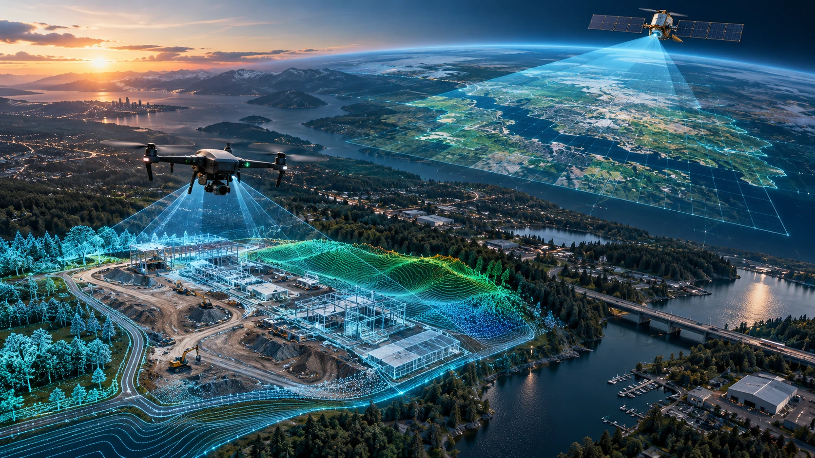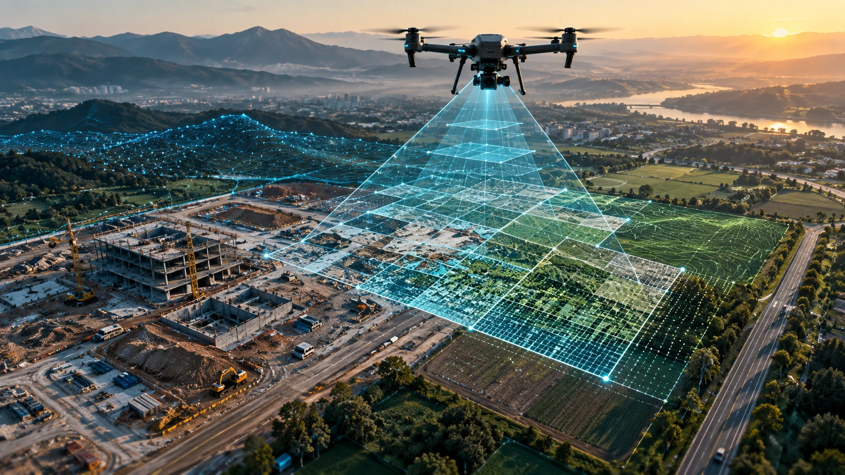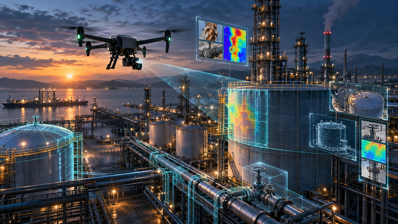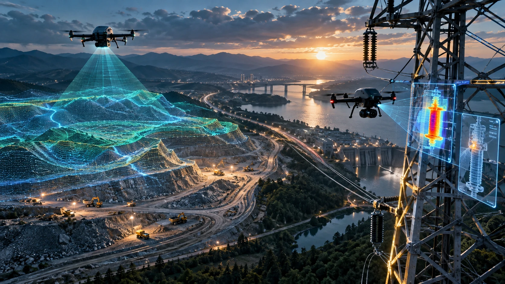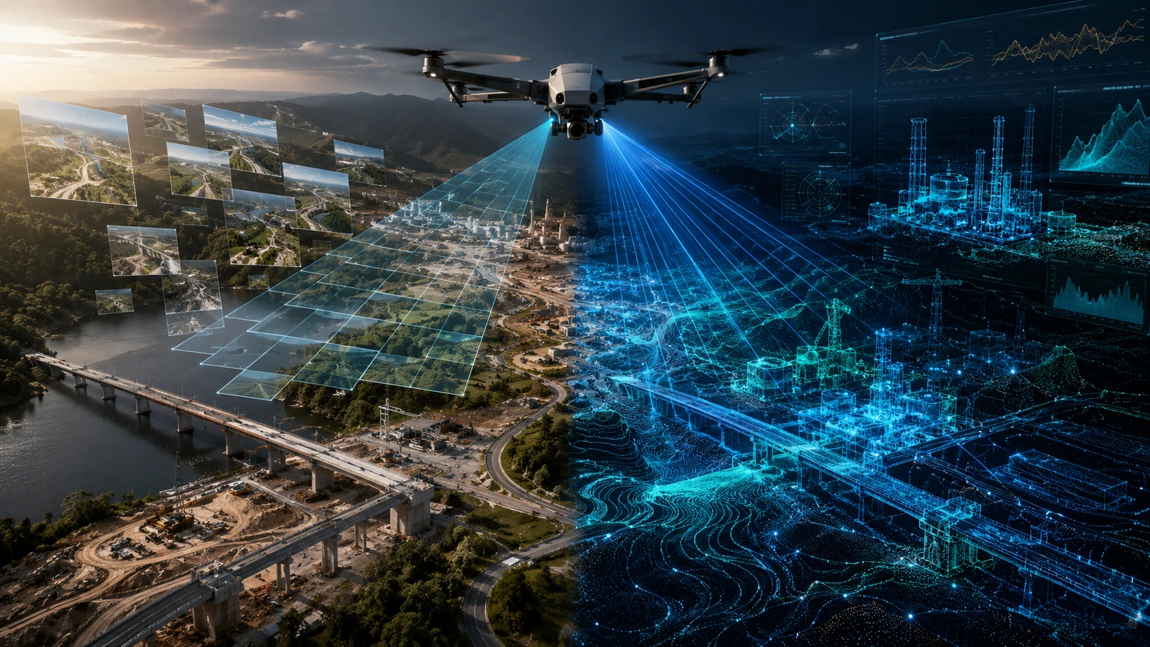
Choosing between photogrammetry vs LiDAR depends on what your project needs: visual mapping, terrain modelling, vegetation penetration, accuracy, speed, cost control, or advanced 3D data. Photogrammetry is often the right choice for open sites, construction progress, orthomosaic maps, and visual documentation. LiDAR is stronger for dense vegetation, complex terrain, corridor mapping, and projects that need high-quality 3D point cloud data.
For infrastructure, mining, irrigation, urban planning, utilities, construction, and land development projects in India, the best method is not always the most expensive one. The right method is the one that delivers usable data for the decision you need to make.
This guide explains the difference between photogrammetry and LiDAR, where each method performs best, and how to decide which one is right for your project.
What is drone photogrammetry?
Drone photogrammetry is a survey method that creates maps and 3D outputs from overlapping aerial photographs. The drone captures images from multiple angles, and specialised software processes those images into orthomosaics, surface models, 3D meshes, and measurement-ready visual outputs.
Photogrammetry works by identifying common points across overlapping images. When the software understands where those points appear across multiple photos, it can reconstruct the site in 2D and 3D.
Drone photogrammetry is widely used because it produces strong visual outputs. It is especially useful when the project team needs to see the site clearly, compare progress, document structures, or create a georeferenced map.
Common photogrammetry outputs include:
- Orthomosaic maps
- High-resolution aerial images
- 3D textured models
- Digital Surface Models
- Basic terrain models
- Progress comparison visuals
- Site documentation reports
- Stockpile and earthwork visuals
Photogrammetry is a practical choice for construction sites, open land parcels, real estate projects, roads under development, industrial documentation, and recurring project monitoring. For many businesses, it gives the right balance of cost, visual clarity, and speed.
What is drone LiDAR?
Drone LiDAR is a laser-based survey method that creates dense 3D point cloud data by measuring distances between the sensor and surfaces below. LiDAR is designed for projects where terrain, elevation, vegetation, asset geometry, or complex 3D structure matters more than visual texture.
LiDAR stands for Light Detection and Ranging. A LiDAR sensor emits laser pulses and records the return signals after they hit objects or the ground. These returns are processed into millions of spatial points, forming a 3D representation of the surveyed area.
Drone LiDAR can generate:
- 3D point clouds
- Digital Elevation Models
- Digital Surface Models
- Contour maps
- Cross-sections
- Terrain profiles
- Corridor maps
- Asset models
- GIS-ready spatial layers
- Volume and surface data
LiDAR is especially valuable when the site includes vegetation, uneven terrain, embankments, slopes, utility corridors, mining areas, dense infrastructure, or complex surface conditions.
For organisations that need high-quality 3D spatial data, Skyglimps Technologies LLP provides 3D LiDAR & GIS Solutions for infrastructure, terrain, and enterprise mapping use cases.
What is the main difference between photogrammetry vs LiDAR?
The main difference between photogrammetry vs LiDAR is the way data is captured. Photogrammetry builds maps and models from photographs, while LiDAR directly measures distance using laser pulses.
Photogrammetry is image-based. It depends heavily on good lighting, clear surface visibility, and strong overlap between photographs. It creates visually rich outputs that are easy for project teams to understand.
LiDAR is measurement-based. It captures 3D spatial points using laser returns. It is less dependent on surface texture and can perform better where the ground is partly hidden by vegetation or where terrain geometry is the main concern.
| Factor | Photogrammetry | LiDAR |
|---|---|---|
| Data capture method | Overlapping photographs | Laser pulses |
| Main strength | Visual mapping and site documentation | 3D measurement and terrain modelling |
| Best output | Orthomosaic, textured 3D model | Point cloud, DEM, contours |
| Vegetation handling | Limited under dense vegetation | Stronger ground detection through vegetation gaps |
| Lighting dependency | Higher | Lower |
| Cost level | Generally more economical | Generally higher |
| Processing output | Visual and surface-based | Measurement-heavy 3D data |
| Best use case | Open sites and progress tracking | Complex terrain and infrastructure mapping |
Both methods can be highly useful when properly planned. The correct choice depends on project purpose, site conditions, deliverables, and required accuracy.
When should you choose photogrammetry?
Choose photogrammetry when your project needs high-resolution visual mapping, site documentation, orthomosaic maps, progress tracking, or cost-effective aerial survey outputs. It is the better option when the site is open, visible, and not heavily covered by vegetation.
Photogrammetry is often the right choice for:
- Construction progress monitoring
- Open land mapping
- Real estate development documentation
- Roadwork progress records
- Industrial site overview
- Solar site documentation
- Quarry or stockpile visual monitoring
- Building and campus mapping
- Urban project documentation
- Marketing and stakeholder visuals
The biggest advantage of photogrammetry is that the output is visually intuitive. Project managers, clients, consultants, and stakeholders can understand an orthomosaic map or 3D textured model quickly.
Photogrammetry is also suitable when repeat monitoring is required. If a project needs monthly or milestone-based updates, drone photographs can be processed into comparable outputs that show visible change over time.
For projects that need structured aerial mapping and visual site documentation, Skyglimps Technologies LLP provides 2D Surveying & Mapping services for land, infrastructure, and project monitoring use cases.
When should you choose LiDAR?
Choose LiDAR when your project needs reliable 3D terrain data, vegetation-aware mapping, corridor analysis, elevation modelling, or complex surface measurement. LiDAR is the stronger option when visual images alone cannot capture the information needed for planning or engineering decisions.
LiDAR is often the right choice for:
- Dense vegetation mapping
- Forest and agriculture terrain assessment
- Road and railway corridor mapping
- Irrigation and canal planning
- Mining and earthwork projects
- Power transmission corridors
- Industrial asset mapping
- Riverbank and embankment studies
- Slope and drainage analysis
- Smart city and urban 3D mapping
- Infrastructure design support
LiDAR is valuable because it produces dense 3D point clouds. These point clouds can be used to extract elevation models, contours, cross-sections, and spatial layers for technical teams.
For example, a road corridor through mixed terrain may require more than a visual map. It may need ground elevation, vegetation information, slope visibility, and corridor constraints. LiDAR is better suited for that kind of requirement.
In Kolkata, West Bengal, and Eastern India, LiDAR can be useful for infrastructure corridors, industrial zones, irrigation networks, mining belts, urban development, and terrain-sensitive projects.
Which method is better for accuracy?
Neither method is automatically more accurate in every situation; accuracy depends on the survey design, equipment, ground control, flight planning, processing workflow, and final deliverables. Photogrammetry can be accurate for open, well-controlled sites, while LiDAR is stronger for complex 3D terrain and vegetation-affected environments.
Photogrammetry accuracy depends on:
- Image overlap
- Camera quality
- Flight altitude
- Ground control points
- Lighting conditions
- Surface texture
- Processing method
- Coordinate system
- Site visibility
LiDAR accuracy depends on:
- Sensor quality
- GNSS/IMU integration
- Flight planning
- Point density
- Ground control
- Calibration
- Processing workflow
- Classification method
- Site conditions
For many professional projects, ground control points improve both photogrammetry and LiDAR outputs. Ground control connects aerial data to known reference points on the earth, improving positional reliability.
If the project needs only visual progress documentation, photogrammetry may be enough. If the project needs terrain modelling under vegetation or detailed 3D spatial data, LiDAR is usually the better method.
Which method is more cost-effective?
Photogrammetry is generally more cost-effective for open sites, visual mapping, and recurring project monitoring. LiDAR generally costs more because it requires specialised sensors, advanced processing, and technical expertise.
Cost should be judged against the value of the required output. A lower-cost photogrammetry survey can be the right choice if the project only needs aerial images, orthomosaics, site documentation, or visual progress records.
LiDAR becomes cost-effective when it prevents rework, reduces field difficulty, improves terrain understanding, or captures data that image-based methods cannot reliably provide.
| Project need | More cost-effective method |
| Basic aerial documentation | Photogrammetry |
| Construction progress visuals | Photogrammetry |
| Open land orthomosaic | Photogrammetry |
| Vegetation-heavy terrain | LiDAR |
| Corridor mapping with elevation needs | LiDAR |
| Complex 3D infrastructure mapping | LiDAR |
| Monthly visual monitoring | Photogrammetry |
| Terrain modelling under canopy | LiDAR |
| Engineering support with ground control | Depends on scope |
| Planning presentation visuals | Photogrammetry or hybrid |
The cheapest method is not always the best method. The right method is the one that produces data your team can actually use.
Can photogrammetry and LiDAR be used together?
Yes, photogrammetry and LiDAR can be used together when a project needs both visual detail and strong 3D measurement. A hybrid workflow can combine the visual clarity of photography with the terrain and point cloud strength of LiDAR.
This approach is useful for large or complex projects where stakeholders need different types of outputs. Engineers may need point clouds and contours, while management teams may need visual maps and progress records.
A hybrid workflow can support:
- 3D point clouds with visual context
- Terrain models with site imagery
- Asset mapping and progress documentation
- Infrastructure planning with stakeholder visuals
- GIS layers supported by aerial photography
- Better interpretation of complex sites
For example, a mining or infrastructure project may use LiDAR for terrain and volume-related outputs, while also using drone imagery for visual reporting. An urban development project may use LiDAR for 3D structure and terrain context, while photogrammetry supports presentation-ready maps.
For recurring site updates, organisations can also use drone-based documentation and progress tracking to compare project stages over time.
How should you decide between photogrammetry vs LiDAR?
To choose between photogrammetry vs LiDAR, start with the final decision the data must support. If you need visual clarity and cost-effective mapping, choose photogrammetry. If you need terrain detail, vegetation handling, or advanced 3D spatial data, choose LiDAR.
Use this decision checklist:
| Question | Choose photogrammetry if… | Choose LiDAR if… |
| Is the site open and clearly visible? | Yes | Not required |
| Is dense vegetation present? | Limited vegetation | Significant vegetation |
| Is visual documentation the main goal? | Yes | No |
| Is terrain modelling critical? | Basic terrain only | Detailed terrain needed |
| Is budget a major constraint? | Yes | Budget supports advanced data |
| Are contours or cross-sections required? | Possible for suitable sites | Stronger for complex sites |
| Is repeat progress monitoring needed? | Yes | Only if 3D comparison is needed |
| Is the project a corridor or utility route? | Simple corridor | Complex corridor |
| Is GIS-ready 3D data required? | Limited | Yes |
| Is the output for engineering decisions? | Depends on control | Strong when properly scoped |
A professional survey partner should help define the method after understanding the site, objective, deliverables, and accuracy expectations.
For city planning, infrastructure design, and large development projects, drone data can also support better visibility across urban planning and smart city projects.
Why choose Skyglimps Technologies for drone survey method selection?
Skyglimps Technologies LLP is a Kolkata-based drone services company and DGCA-certified Remote Pilot Training Organisation serving government and enterprise clients across Eastern India. The company supports drone workflows across LiDAR, GIS, mapping, inspections, surveillance, documentation, and training.
Skyglimps Technologies, a DGCA-certified RPTO in Kolkata, is positioned for organisations that need practical guidance on selecting the right drone survey method for their project. For clients in Kolkata, West Bengal, and Eastern India, local site understanding is useful when working with urban density, industrial zones, water bodies, mining areas, agriculture land, or infrastructure corridors.
The right survey method should be selected before data capture begins. A well-scoped project avoids unnecessary cost, missing deliverables, and unusable outputs.
FAQ: Photogrammetry vs LiDAR
Photogrammetry creates maps and 3D models from overlapping photographs. LiDAR creates 3D point clouds by measuring distances with laser pulses. Photogrammetry is stronger for visual outputs, while LiDAR is stronger for terrain and complex 3D data.
LiDAR is not automatically more accurate in every case. Accuracy depends on survey design, ground control, sensor quality, processing, and site conditions. LiDAR is stronger for complex terrain and vegetation-heavy environments.
Photogrammetry is generally more economical because it uses camera-based data capture and simpler equipment. LiDAR usually costs more because it requires specialised sensors, processing, and technical workflows
Photogrammetry is often better for construction progress monitoring because it provides clear aerial images, orthomosaic maps, and visual comparison outputs. LiDAR is useful when the project also needs 3D terrain or structural data.
LiDAR is better for vegetation-covered land because laser returns can capture ground information through gaps in vegetation. Photogrammetry often struggles when the ground is hidden by dense canopy.
Yes. A hybrid workflow can combine LiDAR point clouds with photogrammetry visuals. This is useful for infrastructure, mining, urban planning, and complex sites that need both measurement and visual context.
Choose photogrammetry for open sites, visual documentation, and cost-effective mapping. Choose LiDAR for vegetation, complex terrain, corridor mapping, and advanced 3D outputs. Use both when the project needs visual and measurement-rich data
Choose the survey method that matches your project goal
The comparison of photogrammetry vs LiDAR is not about which technology is better in every situation. It is about which method produces the right data for your project decision.
Photogrammetry is strong for visual mapping, open sites, orthomosaics, progress monitoring, and cost-effective documentation. LiDAR is strong for complex terrain, vegetation, corridors, elevation modelling, and advanced 3D spatial data.
If your project needs LiDAR point clouds, GIS-ready data, terrain modelling, or method selection support in Kolkata, West Bengal, or Eastern India, connect with Skyglimps Technologies LLP through the 3D LiDAR & GIS Solutions service page and share your project location, terrain conditions, and required deliverables.