
Photogrammetry vs LiDAR: Which Survey Method Is Right for Your Project?
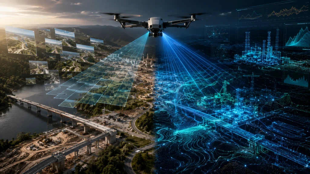
Choosing between photogrammetry vs LiDAR depends on what your project needs: visual mapping, terrain modelling, vegetation penetration, accuracy, speed, cost control, or advanced 3D data. Photogrammetry is often the right choice for open sites, construction progress, orthomosaic maps, and visual documentation. LiDAR is stronger for dense vegetation, complex terrain, corridor mapping, and projects that need […]
Drone Survey Kolkata: Why Businesses Are Turning to Drone Surveys for Project Monitoring
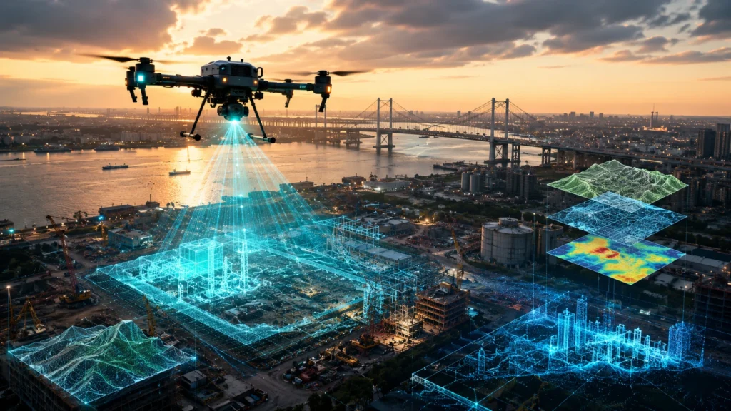
Businesses are increasingly choosing drone survey Kolkata services because drone-based project monitoring gives them faster site visibility, better progress records, safer inspections, and clearer decision-making data. For construction, infrastructure, real estate, utilities, mining, and government-linked projects, drones help teams see what is happening on-site without relying only on manual visits or scattered photographs. Kolkata, New […]
How to Choose Drone Survey Company in India: 7 Questions to Ask Before Hiring
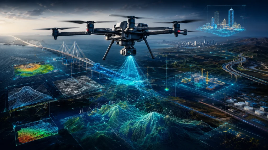
Knowing how to choose drone survey company partners is important because drone mapping is not just about flying a drone over a site. A professional drone survey company must understand project scope, accuracy requirements, data deliverables, site safety, regulatory compliance, and post-processing workflows. In India, drones are now used for land surveys, construction progress tracking, […]
Drone Survey vs Traditional Survey: Cost, Speed, and Accuracy Compared
Choosing between drone survey vs traditional survey depends on the project size, required accuracy, terrain, timeline, deliverables, and budget. Drone surveys are generally faster for large areas, visual mapping, progress tracking, terrain modelling, and hard-to-access sites. Traditional surveys remain important for boundary marking, control point establishment, legal documentation, and high-precision point-based measurements. For construction, mining, […]
Drone Survey Cost India: Factors That Affect Project Pricing
Understanding drone survey cost India is not as simple as asking for a fixed per-acre rate. A professional drone survey quote depends on the size of the site, terrain conditions, data accuracy required, permissions, deliverables, processing complexity, and the final purpose of the survey. For construction companies, infrastructure developers, mining teams, government departments, utilities, and […]
How to Get DGCA Drone Pilot Certification in India: A Step-by-Step Guide (2026)

If you want to fly drones professionally in India, DGCA drone pilot certification is the first serious step. In 2026, the correct term is Remote Pilot Certificate, commonly called RPC. Many people still search for “drone pilot licence,” but the older licence terminology has been replaced under India’s updated drone framework. For students, entrepreneurs, survey […]
Top 5 Mistakes to Avoid When Outsourcing a Drone Survey Project
Drone surveys deliver precise measurable data, but only when executed with the right planning and expertise. Many companies and government departments face delays or poor output because of simple avoidable mistakes. Knowing what to avoid helps ensure smooth project execution. The first mistake is selecting vendors purely based on price. Low cost providers often compromise […]
The Major Cost Factors Behind Drone Survey Pricing
Drone surveys are more cost effective compared to manual surveys, but pricing still varies depending on several technical and operational factors. Many clients assume pricing is based only on flying time, but in reality, data processing, equipment type and deliverables have a major role. The first factor is the type of sensors used. RGB based […]
Key Drone Mapping Deliverables and What They Actually Mean
If you are planning to hire a drone service provider, you will hear terms like orthomosaic, DSM, DEM, contour and point cloud. Many decision makers are aware these deliverables are important, but not everyone knows what each one actually represents or how it is used. An orthomosaic is a distortion free aerial map stitched from […]
Drone Insurance and Safety Protocols Every Operator Should Know

Introduction As drones become standard tools in commercial operations, risk management becomes essential. Insurance and safety protocols protect assets, operators, and clients from unexpected incidents. For many industries, insurance is not optional but a requirement for compliance and trust. Why Drone Insurance Matters Covers damage to the drone Covers third party liability in case of […]