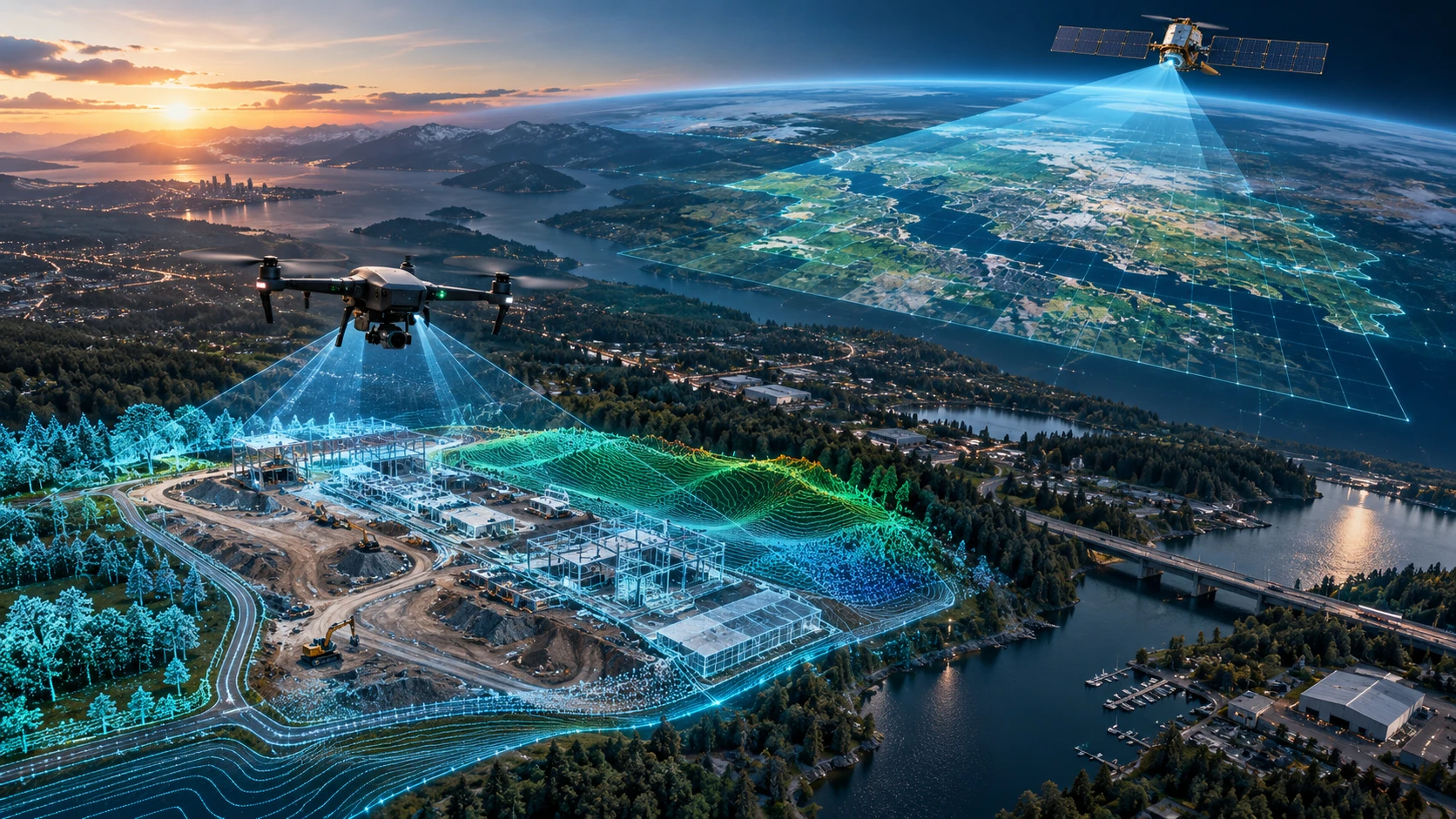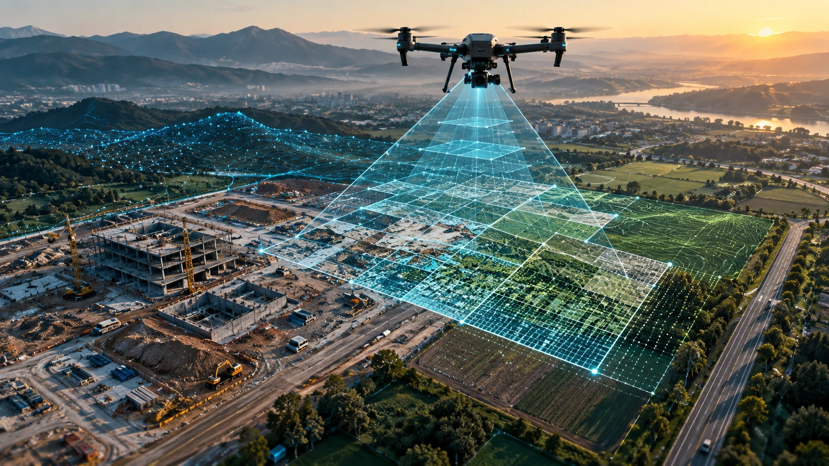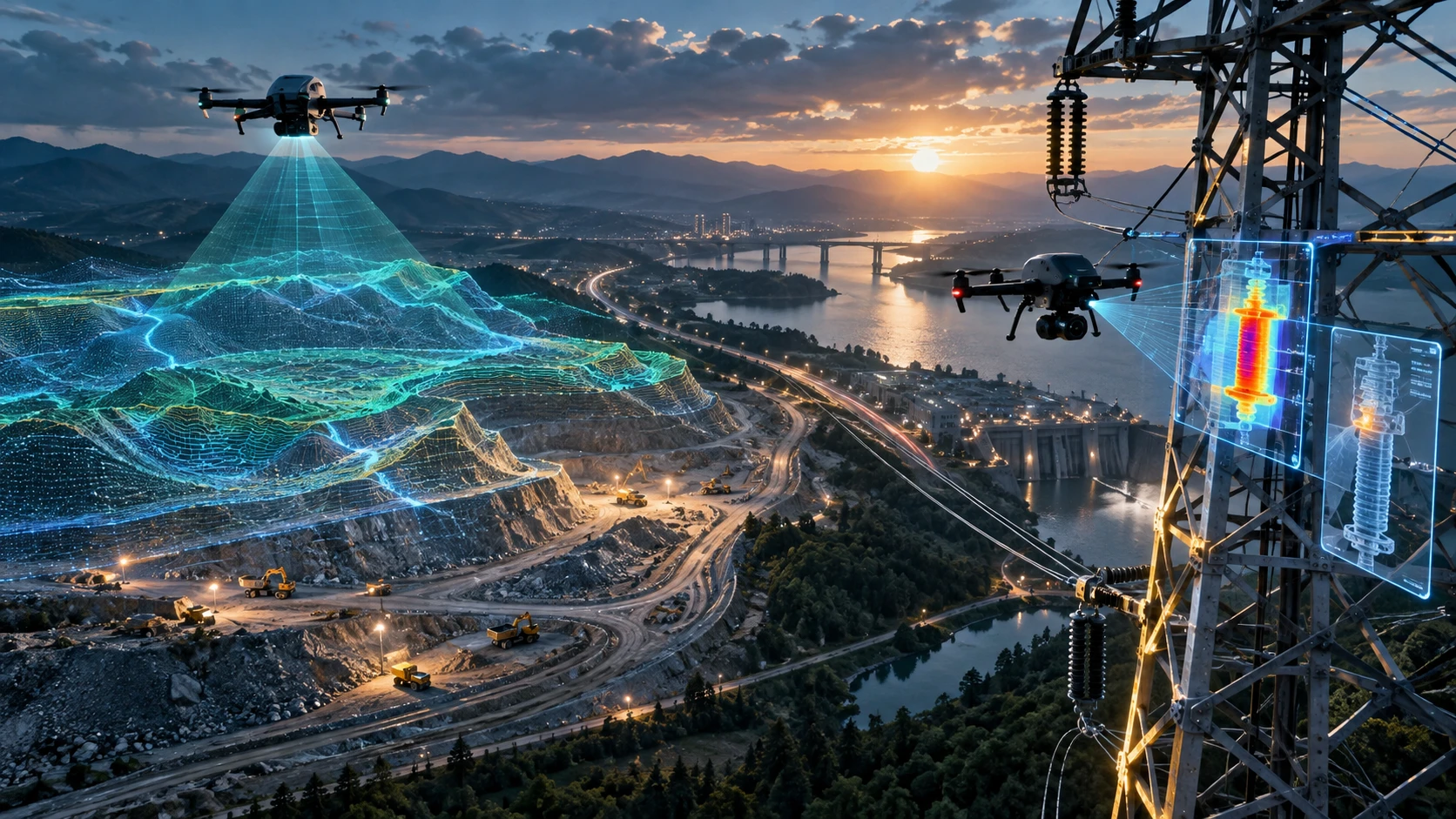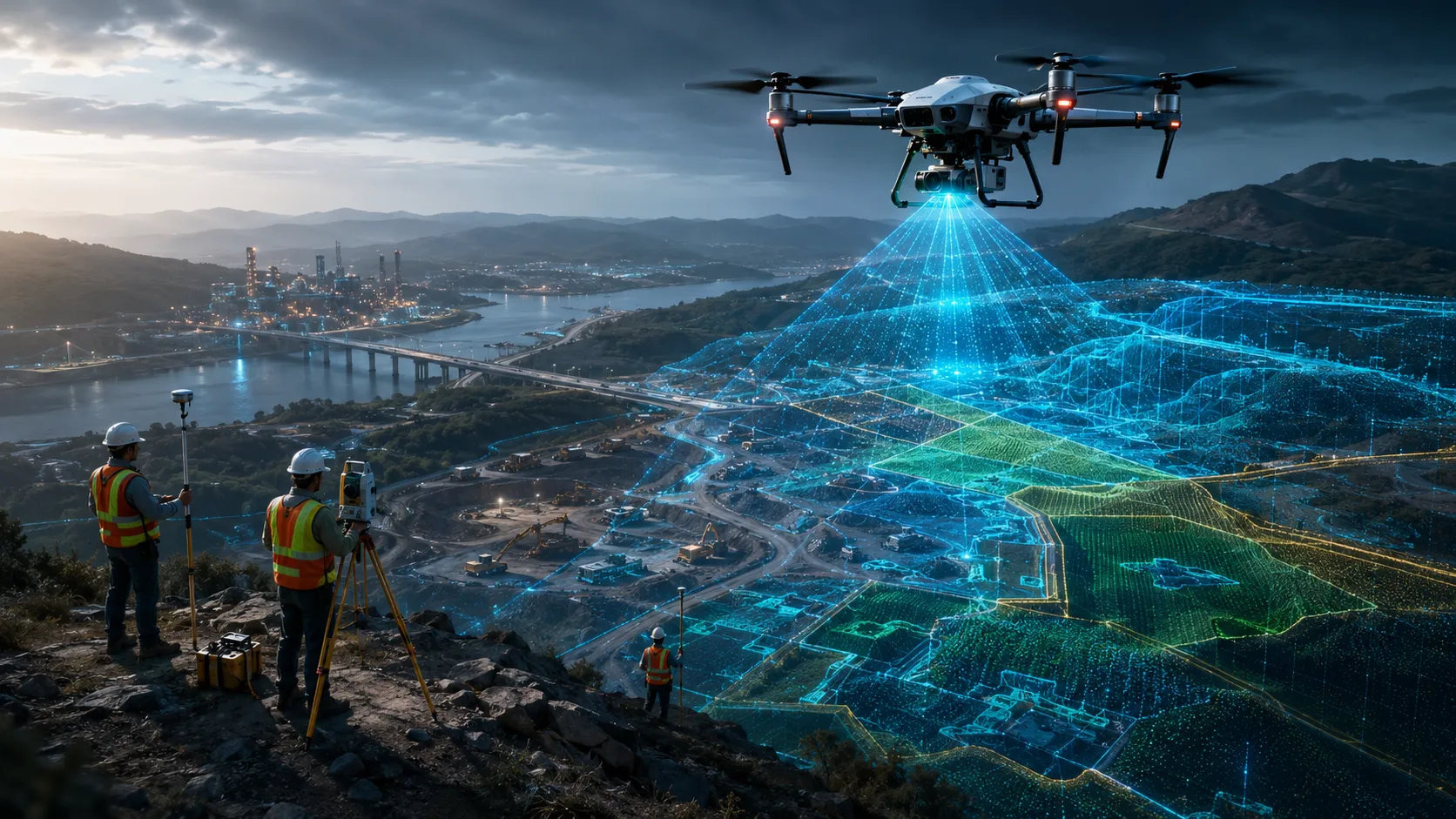
Choosing between drone survey vs traditional survey depends on the project size, required accuracy, terrain, timeline, deliverables, and budget. Drone surveys are generally faster for large areas, visual mapping, progress tracking, terrain modelling, and hard-to-access sites. Traditional surveys remain important for boundary marking, control point establishment, legal documentation, and high-precision point-based measurements.
For construction, mining, irrigation, urban planning, infrastructure, agriculture, and utility projects in India, the best approach is not always “drone only” or “traditional only.” Many professional projects use both methods together. The drone captures large-scale aerial data quickly, while traditional instruments provide ground-level control, verification, and precise reference points.
This guide compares drone surveys and traditional surveys across cost, speed, accuracy, safety, deliverables, and best-fit use cases.
What is the difference between a drone survey and a traditional survey?
A drone survey collects aerial data using an unmanned aircraft, while a traditional survey collects ground measurements using tools such as total stations, GNSS receivers, levels, and manual field instruments. Drone surveys are stronger for fast area coverage and visual mapping, while traditional surveys are stronger for point-level control and legal measurement workflows.
In a traditional survey, the surveyor physically moves across the site and records measurements from the ground. This is useful when the project requires exact control points, boundary demarcation, elevation benchmarks, or detailed ground-level measurements.
In a drone survey, the drone captures overlapping aerial images or sensor data from above. This data is processed into maps, models, contours, point clouds, or visual reports. Drone surveys are especially useful when the site is large, difficult to access, unsafe, or changing frequently.
A simple comparison looks like this:
| Factor | Drone survey | Traditional survey |
|---|---|---|
| Data capture method | Aerial data capture | Ground-based measurement |
| Best for | Large areas, maps, models, progress tracking | Boundaries, control points, legal measurements |
| Field speed | Faster for large sites | Slower for large sites |
| Site access | Can cover difficult areas from above | Requires physical access |
| Visual output | Strong visual and spatial deliverables | Limited visual context |
| Accuracy | Strong when properly planned and controlled | Very strong for point-level measurements |
| Best approach | Often ideal with ground control | Essential for control and verification |
The right method depends on the project objective. A landowner needing a basic legal boundary survey may need traditional surveying. A construction company needing site progress maps every month may benefit more from drone surveying.
Which is faster: drone survey or traditional survey?
Drone surveys are usually faster for large, open, difficult, or frequently changing sites because aerial data can be captured quickly across wide areas. Traditional surveys take more time when the team must physically access multiple points across the site.
Speed is one of the strongest advantages of drones. A drone can capture a large amount of site data in a shorter field window, especially when the area is open and the flight plan is clear. This is useful for construction progress, topographic mapping, mining stockpile checks, irrigation planning, and infrastructure documentation.
Traditional surveying can be slower because the surveyor must move from point to point, set up instruments, take readings, and work around obstacles. In dense vegetation, waterlogged land, mining zones, industrial sites, or construction areas, ground movement can become difficult.
However, speed should not be judged only by field time. A drone survey also requires flight planning, data transfer, processing, and quality checks. A traditional survey may take longer in the field but may produce direct measurements for specific points.
Drone surveys are faster when the project needs:
- Large area coverage
- Visual site mapping
- Regular progress monitoring
- Stockpile or earthwork assessment
- Terrain overview
- Construction documentation
- Road, canal, or corridor mapping
- Hard-to-access site coverage
Traditional surveys are faster when the project needs only a small number of specific ground points or boundary references.
Which is more accurate: drone survey vs traditional survey?
Traditional surveying is highly reliable for precise point-level measurements, while drone surveying can deliver strong mapping accuracy when planned with proper flight parameters, ground control, and processing workflows. Accuracy depends on the survey objective, equipment, ground control, processing method, and site conditions.
A common mistake is assuming that one method is always more accurate than the other. In reality, both methods measure different things in different ways.
Traditional survey instruments are excellent for:
- Boundary points
- Control points
- Benchmarks
- Levels and elevation checks
- Layout marking
- Legal measurement support
- Engineering reference points
Drone surveys are excellent for:
- Orthomosaic maps
- Topographic surface models
- Contour maps
- Terrain visualisation
- Stockpile volume assessment
- Site progress comparison
- Large-area spatial context
- 3D surface models
Drone survey accuracy improves when the project uses ground control points, correct image overlap, suitable flight altitude, stable weather conditions, and professional data processing. Traditional survey data is often used to establish ground reference for the drone dataset.
For engineering, infrastructure, mining, and urban planning projects, the strongest result often comes from combining both. Traditional methods establish reliable reference points, and the drone captures wide-area data efficiently.
Which method is more cost-effective?
Drone surveys are often more cost-effective for large sites, repeated monitoring, difficult terrain, and projects needing visual deliverables. Traditional surveys can be more cost-effective for small sites, legal boundary work, and projects requiring limited point measurements.
The cost comparison depends on the scope. A drone survey may cost more than a simple ground visit for a small plot, but it may become more economical when the site is large, complex, or needs multiple deliverables.
Drone survey cost is influenced by:
- Site size
- Terrain complexity
- Flight planning requirements
- Airspace and permission considerations
- Ground control needs
- Data processing workload
- Deliverables required
- Travel and mobilisation
- Revisions or reporting needs
Traditional survey cost is influenced by:
- Number of ground points
- Site accessibility
- Survey team size
- Instrument requirements
- Boundary complexity
- Time required on-site
- Legal documentation needs
- Travel and field logistics
For example, a construction company needing monthly progress records may get better value from drone-based documentation than repeated manual visual checks. A landowner needing exact legal demarcation may need a traditional surveyor first.
Skyglimps Technologies LLP provides 2D Surveying & Mapping for organisations that need aerial mapping, site documentation, and geospatial outputs for professional decision-making.
When should you choose a drone survey?
You should choose a drone survey when the project requires fast area coverage, visual mapping, site monitoring, terrain modelling, or data from places that are difficult or unsafe to access on foot. Drone surveys are especially useful when the site is large, active, or changing over time.
Drone surveys are a strong fit for:
- Construction progress monitoring
- Road and infrastructure mapping
- Irrigation and canal area assessment
- Mining area mapping
- Stockpile volume estimation
- Urban planning and smart city documentation
- Agricultural land assessment
- Industrial site mapping
- Power and utility corridor inspection
- Riverbank or water resource monitoring
The biggest advantage of drones is context. Aerial data helps decision-makers see the entire site, not just individual points. This makes drone surveys useful for project managers, engineers, government departments, infrastructure planners, mining teams, and enterprise clients.
For projects requiring 3D datasets, terrain models, or advanced GIS outputs, drone workflows can also support 3D LiDAR & GIS solutions, depending on the scope and technical requirements.
In Kolkata, West Bengal, and Eastern India, drone surveys are particularly useful for infrastructure expansion, industrial documentation, irrigation planning, urban development, mining operations, and project monitoring across large or difficult sites.
When should you choose a traditional survey?
You should choose a traditional survey when the project requires legal boundary marking, precise ground control, benchmark establishment, layout work, or point-level engineering measurements. Traditional survey methods remain essential for many land, construction, and legal workflows.
Traditional surveying is the better choice for:
- Boundary demarcation
- Legal land records support
- Plot subdivision
- Benchmark creation
- Control point establishment
- Building layout marking
- Engineering reference points
- Small plots with limited measurement needs
- Verification of selected drone survey outputs
Traditional surveys are also important when the final output must be accepted as part of a legal, cadastral, or statutory process. Drone data can support planning and visualisation, but it does not automatically replace official land survey requirements.
In professional projects, traditional surveying often works as the foundation. It gives the ground truth needed to align, check, and validate wider drone datasets.
The practical answer is simple: use traditional surveying for legal and control-level precision, and use drone surveying for scale, speed, visual intelligence, and large-area data capture.
Can drone survey and traditional survey be used together?
Yes, drone survey and traditional survey are often most powerful when used together. Traditional methods provide accurate ground reference, while drones provide fast aerial coverage and rich visual datasets.
This hybrid approach is common in professional mapping and infrastructure projects. The traditional survey team can establish ground control points, benchmarks, or verification points. The drone team can then capture aerial data and process it into maps, models, contours, or progress reports.
A combined workflow may look like this:
- Define the project objective.
- Review the site boundary and access conditions.
- Establish ground control points.
- Plan the drone flight path.
- Capture aerial data with sufficient overlap.
- Process the drone data into required outputs.
- Validate results against ground points.
- Deliver maps, reports, files, or models.
This approach gives the client both speed and reliability. It is especially useful for infrastructure, construction, mining, irrigation, and urban planning projects.
For recurring project updates, clients can also use drone-based documentation and progress tracking to monitor site changes over time.
How should you decide between drone survey vs traditional survey?
The decision should be based on the final purpose of the survey, not only the price. Choose drone survey for fast area coverage and visual deliverables; choose traditional survey for legal boundaries and point-level precision; choose both for professional mapping that needs scale and control.
Use this decision table before selecting a method:
| Project requirement | Better choice |
| Legal boundary marking | Traditional survey |
| Large site mapping | Drone survey |
| Construction progress monitoring | Drone survey |
| Ground control points | Traditional survey |
| Contour and terrain modelling | Drone survey with ground control |
| Small plot measurement | Traditional survey |
| Mining stockpile assessment | Drone survey |
| Smart city or urban planning documentation | Drone survey |
| Engineering verification | Traditional survey or hybrid |
| Infrastructure corridor mapping | Drone survey with ground reference |
For decision-makers, the key question is not “Which method is cheaper?” The better question is: “Which method gives the right data for the decision we need to make?”
Skyglimps Technologies, a DGCA-certified RPTO in Kolkata, supports drone services and training for government, enterprise, and institutional use cases across Eastern India. For planning departments, developers, and civic projects, drone data can support better visibility across urban planning and smart city projects.
FAQ: Drone Survey vs Traditional Survey
A drone survey captures aerial data from above, while a traditional survey records ground measurements using survey instruments. Drone surveys are better for fast area mapping, while traditional surveys are better for precise ground points and boundaries.
Drone surveys can be highly accurate for mapping when planned with ground control and proper processing. Traditional surveys remain stronger for point-level measurements, boundaries, and benchmarks.
Drone surveys can be more cost-effective for large, difficult, or repeated mapping projects. Traditional surveys may be more economical for small plots or limited point measurements.
Drone surveys do not replace traditional surveys in every case. Legal boundary work, control points, and benchmark establishment still need traditional methods. Many professional projects use both.
Drone surveys are usually faster for construction progress monitoring because they capture wide-area visual data quickly. Traditional surveys are still useful for layout, levels, and control points.
Yes, drone surveys can support contour mapping when data is captured and processed correctly. Ground control improves reliability for professional terrain and elevation outputs.
For infrastructure projects, a hybrid approach is often best. Traditional survey provides control and verification, while drone survey provides fast area coverage, mapping, and visual documentation.
Choose the right survey method for your project
The comparison of drone survey vs traditional survey is not about replacing one method with the other. It is about choosing the right tool for the right decision.
Drone surveys bring speed, visual clarity, and large-area coverage. Traditional surveys bring ground-level precision, legal support, and reliable control points. For many professional projects, the best answer is a planned combination of both