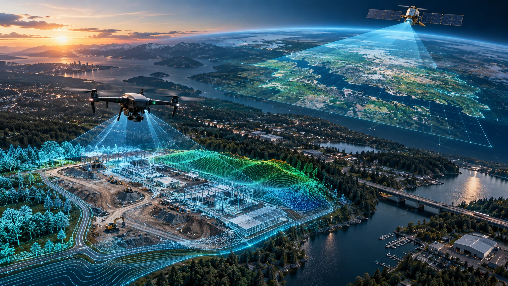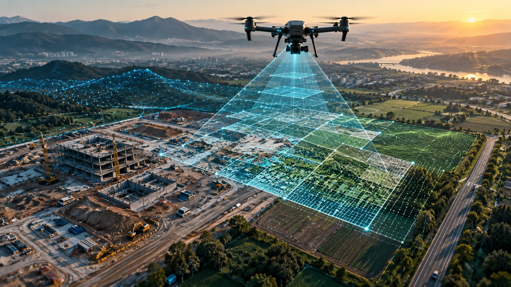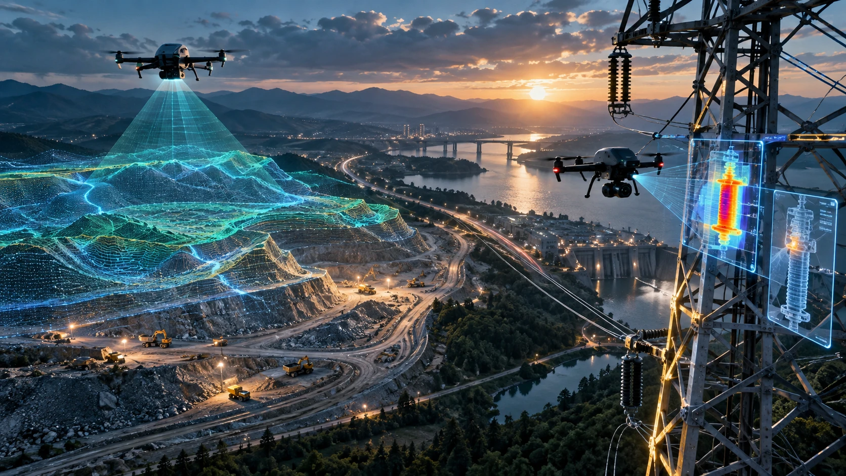
Understanding drone survey cost India is not as simple as asking for a fixed per-acre rate. A professional drone survey quote depends on the size of the site, terrain conditions, data accuracy required, permissions, deliverables, processing complexity, and the final purpose of the survey.
For construction companies, infrastructure developers, mining teams, government departments, utilities, and landowners, drone surveys can reduce manual field effort and improve visual decision-making. But the cost changes significantly between a small land parcel, a road corridor, a mining site, an irrigation command area, and a large industrial project.
This guide explains the major pricing factors, common quote structures, and what buyers should check before hiring a drone survey company in India.
What is included in drone survey cost India?
Drone survey cost India usually includes flight planning, site mobilisation, drone data capture, ground control support if required, data processing, quality checks, and final deliverables. The final quote depends on whether the client needs only images or professional mapping outputs such as orthomosaics, contour maps, DEMs, DSMs, point clouds, or GIS-ready files.
A drone survey is not just a drone flying over land. A professional survey project typically includes a workflow before, during, and after the flight.
A standard drone survey scope may include:
- Understanding the project objective
- Reviewing the site size and location
- Checking airspace and safety constraints
- Planning the flight path
- Capturing aerial data
- Using ground control points where required
- Processing images or sensor data
- Generating maps, models, or reports
- Sharing outputs in agreed file formats
- Revising deliverables if the project scope requires it
For basic visual documentation, pricing may be lower because processing requirements are lighter. For engineering-grade mapping, the cost increases because the project requires stronger planning, ground reference, higher data accuracy, and specialised post-processing.
A buyer should always ask what is included in the quote. Two vendors may quote different prices because one is offering basic aerial images while another is offering survey-grade deliverables.
Why does site size affect drone survey pricing?
Site size directly affects drone survey pricing because larger areas require more flight time, more batteries, more field planning, and more data processing. A 5-acre land parcel and a 500-acre infrastructure site cannot be priced using the same effort assumptions.
The area to be surveyed affects cost in three ways.
First, larger areas need more flight coverage. The drone must capture overlapping images across the complete site to generate accurate maps and models.
Second, larger areas create more data. More images mean more storage, more processing time, and more quality checks.
Third, larger sites may require more field movement. If the site is spread across villages, industrial zones, mining belts, road corridors, or irrigation areas, the team may need additional mobilisation and field coordination.
Drone surveys are often priced using one of these models:
| Pricing model | Best suited for | How it works |
|---|---|---|
| Per acre | Small and medium land parcels | Cost is linked to total land area |
| Per square kilometre | Large infrastructure or regional mapping | Cost is linked to wider area coverage |
| Per day | Variable field assignments | Cost is based on team and equipment time |
| Per deliverable | Specialised mapping projects | Cost is based on final outputs required |
| Custom project quote | Complex sites | Cost is built after scope review |
Per-acre pricing may look simple, but it is not always accurate for complex projects. A small but difficult site can cost more than a larger but open and easy-to-access site.
How does terrain complexity change drone survey cost?
Terrain complexity increases drone survey cost when the site is difficult to access, uneven, obstructed, vegetated, restricted, or operationally risky. A flat open field is easier to survey than a dense industrial site, hilly terrain, mining area, or river-adjacent project.
Drone survey teams must plan differently for different land conditions. Terrain affects flight height, image overlap, ground control placement, safety, team movement, and the time needed to complete data capture.
Common terrain factors that affect pricing include:
- Dense vegetation
- Water bodies or canals
- Mining pits and stockpiles
- High-rise structures
- Power lines or towers
- Industrial machinery
- Narrow corridors
- Uneven elevation
- Restricted access points
- Busy roads or populated zones
For example, an agricultural survey in an open rural field may be easier to execute than a drone survey inside an active industrial plant. Similarly, a road alignment survey may require corridor-style flight planning across long distances, while a mining site may require careful capture of elevation variation, stockpiles, and operational zones.
In West Bengal and Eastern India, terrain can vary widely between urban construction sites in Kolkata, riverine areas, mining belts, agriculture zones, and industrial corridors. The more complex the operating environment, the more time and planning the project requires.
How does accuracy requirement affect drone survey cost India?
Higher accuracy requirements increase drone survey cost India because they demand better planning, ground reference, controlled flight parameters, and more detailed processing. A basic visual map costs less than an engineering-grade survey output.
Accuracy is one of the most important pricing drivers. Before asking for a quote, the client should know what the drone survey will be used for.
A project may need:
- General site overview
- Construction progress comparison
- Land measurement support
- Contour mapping
- Volume estimation
- GIS mapping
- Engineering planning
- Asset inspection
- Government or institutional reporting
For general visual documentation, ultra-high survey accuracy may not be required. For topographic mapping, earthwork planning, road alignment, mining volume calculation, or infrastructure design support, accuracy requirements are much stricter.
Ground control points, also called GCPs, can improve positional reliability when used correctly. However, they add field effort, equipment requirements, and processing time. Projects requiring GCPs typically cost more than simple aerial image capture.
The buyer should explain the final use of the data. A professional drone survey company can then recommend the correct level of accuracy instead of overcharging for unnecessary complexity or under-scoping the job.
Which deliverables change drone survey project pricing?
Drone survey pricing changes based on the final deliverables because each output requires different capture methods, processing workflows, and technical review. A raw photo set is not equal to an orthomosaic, contour map, digital elevation model, or GIS-ready dataset.
The deliverable is often the biggest difference between a low-cost drone shoot and a professional drone survey.
Common drone survey deliverables include:
| Deliverable | What it is used for | Pricing impact |
| Raw aerial images | Visual record and inspection reference | Low |
| Orthomosaic map | Accurate stitched map of the site | Medium |
| Contour map | Elevation and planning support | Medium to high |
| DEM / DSM | Terrain and surface modelling | High |
| 3D model | Site visualisation and planning | High |
| Point cloud | LiDAR or photogrammetry-based 3D data | High |
| Volume report | Stockpile or earthwork calculation | Medium to high |
| GIS files | Integration into planning workflows | High |
| Progress report | Construction monitoring and comparison | Medium |
A client who only needs updated site visuals should not pay for complex GIS deliverables. A client who needs engineering planning should not settle for only edited drone photos.
Skyglimps Technologies LLP provides 2D Surveying & Mapping services for organisations that need structured aerial mapping outputs for land, infrastructure, and project documentation.
For projects requiring three-dimensional modelling or advanced spatial data, clients can also explore 3D LiDAR & GIS solutions.
How do permissions and compliance affect drone survey cost?
Permissions and compliance can affect drone survey cost when the site is near controlled airspace, sensitive infrastructure, restricted zones, or locations requiring prior approvals. Professional drone teams must plan the project around India’s drone rules, site permissions, and safety requirements.
Drone operations in India are governed through the DGCA framework and Digital Sky ecosystem. The airspace map uses green, yellow, and red zone classifications. Green zones are less restrictive, yellow zones require additional permission, and red zones are restricted.
For professional projects, compliance planning may include:
- Checking the airspace category
- Verifying site restrictions
- Reviewing local permissions
- Confirming client site access
- Coordinating with security teams
- Planning safe take-off and landing areas
- Managing crowd, asset, and equipment safety
- Ensuring the drone and pilot meet applicable requirements
A survey in an open rural area is often easier to plan than a survey near airports, government buildings, defence-related areas, high-security industrial assets, or dense urban locations.
In Kolkata and other parts of Eastern India, drone survey teams may also need to coordinate with project site managers, government departments, PSU teams, industrial security, or local administration depending on the location and nature of the work.
Compliance is not an optional add-on. It protects the client, the pilot, and the public.
How does data processing affect the final quote?
Data processing affects the final quote because professional survey outputs require specialised software, computing time, technical review, and quality control. The flight may take a few hours, but processing and validating the data can take significantly longer.
Many clients underestimate post-processing work. Drone survey pricing is not based only on field time. A professional quote also includes the effort required to convert raw drone data into usable project information.
Processing may include:
- Image alignment
- Map stitching
- Ground control adjustment
- Coordinate system setup
- Orthomosaic generation
- Elevation model creation
- Contour extraction
- Volume calculation
- Point cloud cleaning
- File export
- Report preparation
- Quality review
The more technical the output, the more processing is required. A construction progress video may need editing and presentation. A topographic survey may require georeferenced outputs, contours, and CAD/GIS-compatible files.
This is why a quote for drone mapping may be higher than a quote for simple drone photography, even if both use a drone at the same location.
What should buyers ask before accepting a drone survey quote?
Buyers should ask what is included, what accuracy is expected, which deliverables will be provided, whether permissions are covered, and how the data will be delivered. A low quote can become expensive if key deliverables are missing.
Before approving a drone survey quotation, ask these questions:
- What area is included in the quote?
- What is the survey objective?
- Which deliverables will be provided?
- Are raw images included?
- Will orthomosaic maps be provided?
- Are contours, DEM, DSM, or 3D models included?
- Will ground control points be used?
- What coordinate system will be used?
- What file formats will be delivered?
- Are permissions and compliance checks included?
- How many site visits are included?
- Is travel cost included?
- What happens if weather delays the survey?
- Will the data be suitable for engineering or only visual reference?
- Is post-delivery support included?
The best quote is not always the lowest quote. The best quote is the one that clearly matches the project objective, deliverables, accuracy needs, and compliance requirements.
Why choose Skyglimps Technologies for drone surveys in Eastern India?
Skyglimps Technologies LLP is a Kolkata-based drone services company and DGCA-certified Remote Pilot Training Organisation serving government and enterprise clients across Eastern India. The company works across drone surveying, mapping, inspections, surveillance, documentation, and training.
For clients in Kolkata, West Bengal, and Eastern India, working with a regional drone survey partner can improve site coordination, faster scoping, and better understanding of local project environments.
Skyglimps supports drone-enabled workflows across sectors such as infrastructure, urban planning, irrigation, mining, agriculture, power utilities, and law enforcement. Organisations that need recurring visual records can also explore documentation and progress tracking for construction and infrastructure projects.
For planning authorities, developers, and civic projects, drone survey data can support better decision-making across urban planning and smart city projects.
FAQ: Drone Survey Cost India
Drone survey cost in India depends on site size, terrain, accuracy, deliverables, travel, permissions, and processing needs. A professional quote should be prepared after reviewing the project scope, not only the acreage.
Drone surveys can reduce field time for large or difficult sites, but they do not replace every traditional survey method. The right approach depends on accuracy needs, terrain, legal requirements, and final deliverables.
The biggest pricing factors are site area, terrain complexity, accuracy requirement, ground control needs, deliverables, processing workload, permissions, travel, and project urgency.
Many drone survey companies use per-acre pricing for simple land parcels. Large, complex, corridor, industrial, mining, or high-accuracy projects usually need custom quotation.
Yes. A contour map requires proper data capture, processing, elevation modelling, and technical review. Basic drone photos are simpler and usually cost less than survey-grade mapping outputs
Permissions may or may not be included, depending on the vendor and location. Clients should ask whether airspace checks, site access coordination, and approval support are part of the quote.
Share the site location, area, purpose, required accuracy, expected deliverables, file format needs, deadline, and site access details. This helps the survey company provide a realistic project quote.
Get a drone survey quote for your project
Drone survey pricing in India depends on the work required to capture, process, and deliver usable project data. A clear scope leads to a better quote and reduces confusion after the survey.
If you need a drone survey for land, infrastructure, construction, mining, irrigation, urban planning, or enterprise documentation, connect with Skyglimps Technologies LLP through the 2D Surveying & Mapping service page and share your project location, site size, and required deliverables.