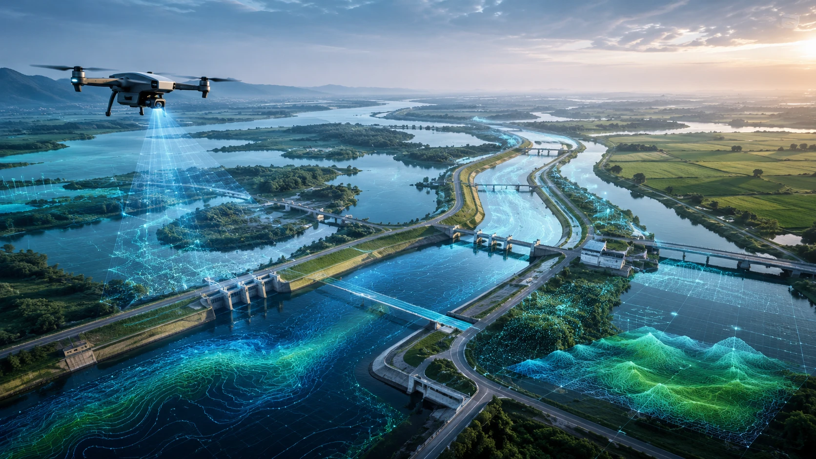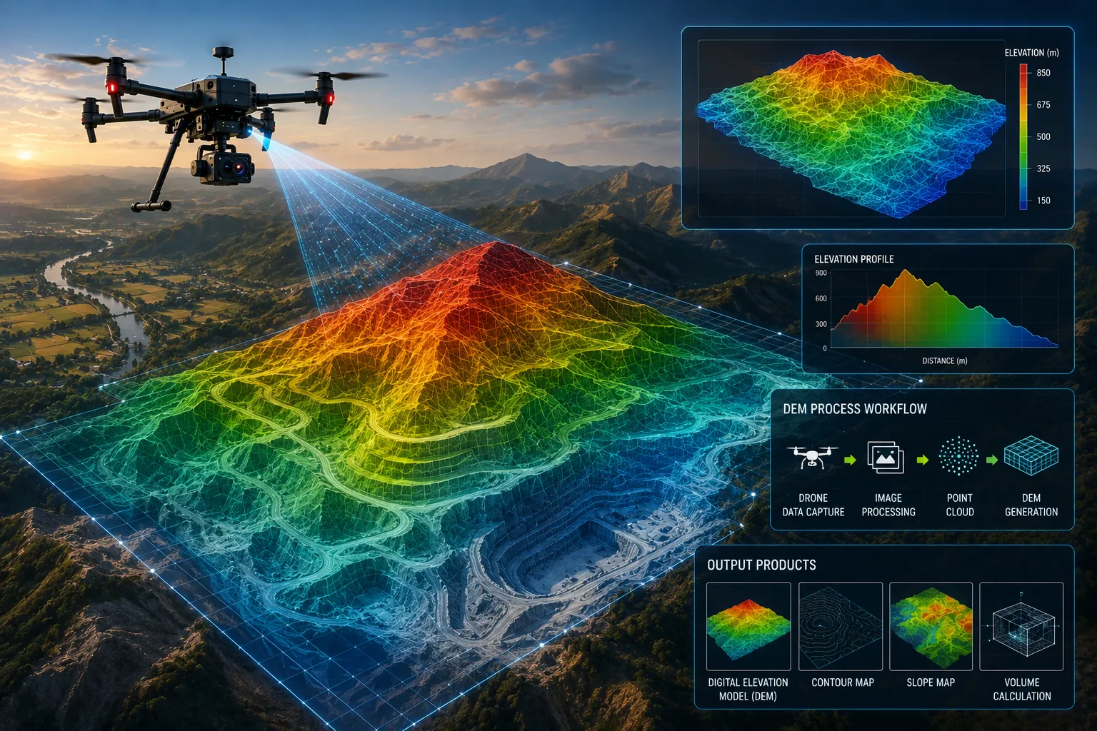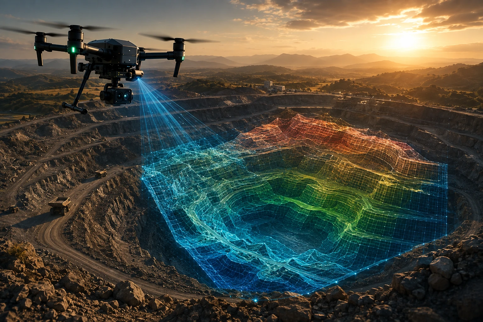
Drone survey deliverables are the final outputs a client receives after a professional drone mapping or inspection project. These may include aerial images, orthomosaic maps, contour maps, digital elevation models, 3D point clouds, GIS files, CAD-ready exports, inspection findings, and a structured final report.
For businesses, government agencies, contractors, developers, mining teams, irrigation departments, and infrastructure owners, the deliverable matters more than the drone flight itself. A drone may capture excellent data, but the project is only useful when the final output helps the team measure, plan, inspect, document, or make a decision.
This guide explains what to expect in a professional drone survey report, what each deliverable means, and how to choose the right outputs for your project.
What are drone survey deliverables?
Drone survey deliverables are the processed files, maps, models, reports, and data outputs created from a drone survey. They convert raw drone images or LiDAR scans into usable project information.
A drone survey does not end when the drone lands. After data capture, the team processes the images, point clouds, GPS data, ground control, and site notes into final outputs.
Common drone survey deliverables include:
- Aerial images
- Drone videos
- Orthomosaic maps
- 2D site maps
- Digital Elevation Models
- Digital Surface Models
- Contour maps
- 3D point clouds
- 3D textured models
- GIS-ready files
- CAD-ready files
- Cross-sections
- Volume reports
- Inspection findings
- PDF summary reports
Skyglimps Technologies LLP provides 2D Surveying & Mapping for organisations that need aerial mapping, site documentation, and survey-ready outputs for professional decision-making.
Why are final deliverables important in a drone survey?
Final deliverables are important because they determine whether the drone survey can actually be used by engineers, planners, managers, contractors, or government teams. Raw drone photos alone are usually not enough for serious project decisions.
A client may need to measure land area, calculate stockpile volume, review construction progress, inspect an embankment, check a road corridor, map a quarry, or document a power asset. Each objective needs a different output.
For example:
| Project objective | Useful deliverable |
|---|---|
| Land mapping | Orthomosaic map and boundary layer |
| Road planning | Orthomosaic, contours, DEM, cross-sections |
| Mining volume | 3D model, DSM, volume report |
| Flood-risk review | DEM, contours, drainage layers |
| Construction progress | Dated aerial maps and progress reports |
| Asset inspection | RGB images, thermal images, marked findings |
| Urban planning | GIS layers, point clouds, 3D models |
The right deliverables reduce confusion after the survey. They also help clients share data with consultants, contractors, management, and approval teams.
What is an orthomosaic map?
An orthomosaic map is a corrected top-down map created from many overlapping drone images. It combines the visual detail of aerial photography with the geometric qualities of a map.
Orthomosaic maps are among the most common drone survey deliverables. They help teams view the entire site from above and measure visible features more clearly than ordinary aerial photographs.
An orthomosaic can help with:
- Site boundary review
- Road and access mapping
- Construction progress documentation
- Land parcel visibility
- Drainage and waterbody mapping
- Embankment and canal review
- Quarry and mining site documentation
- Urban planning and asset mapping
- Before-after comparison
For many projects, the orthomosaic becomes the base layer for further analysis. GIS boundaries, asset points, inspection marks, contours, and project annotations can be placed on top of it.
What is a Digital Elevation Model?
A Digital Elevation Model, or DEM, is a terrain surface that shows ground elevation across a project area. It helps teams understand slope, low-lying zones, drainage patterns, and elevation differences.
A DEM is useful when ground level matters. This includes roads, drainage, flood mapping, mining, quarrying, construction grading, irrigation, embankments, and land development.
A DEM can support:
- Drainage planning
- Flood-risk assessment
- Road alignment review
- Cut-fill analysis
- Embankment monitoring
- Terrain modelling
- Slope analysis
- Contour generation
A Digital Surface Model, or DSM, is different because it includes surface objects such as trees, buildings, equipment, and structures. A bare-earth DEM focuses on the terrain after removing above-ground objects where possible.
For terrain-heavy projects, the client should confirm whether they need DEM, DSM, DTM, or all relevant elevation outputs.
What are contour maps?
Contour maps show lines of equal elevation and help teams understand terrain shape, slope, and level differences. They are especially useful for engineering, planning, drainage, and earthwork projects.
Contour maps convert elevation data into a readable format that many engineers, planners, and contractors already understand.
Contour deliverables can help with:
- Road and highway planning
- Site grading
- Land development
- Flood-risk review
- Canal and embankment projects
- Mining and quarry planning
- Drainage design
- Construction layout review
The contour interval should match the project requirement. A broad planning project may use wider intervals, while a detailed engineering review may require closer intervals.
A good drone survey report should mention the contour interval and the source elevation model used to create the contours.
What is a point cloud?
A point cloud is a collection of 3D points that represent the shape of the surveyed area or asset. Each point has spatial coordinates and helps create a measurable 3D record of the site.
Point clouds may come from photogrammetry or LiDAR. Photogrammetry point clouds are created from overlapping images. LiDAR point clouds are created from laser measurements.
Point clouds can be useful for:
- 3D terrain modelling
- Building and infrastructure mapping
- Urban planning
- Road corridor analysis
- Mining and quarry measurement
- Digital twin workflows
- Vegetation and asset mapping
- Cross-section creation
- Volume calculation
For advanced terrain, infrastructure, and 3D workflows, Skyglimps Technologies LLP provides 3D LiDAR & GIS Solutions for organisations that need point clouds, GIS layers, elevation models, and planning-ready spatial outputs.
What are GIS and CAD files in drone survey reports?
GIS and CAD files are technical deliverables that allow drone survey data to be used in planning, engineering, mapping, and design software. These files are important when the client needs more than a PDF report.
Common file formats may include:
| File type | Common use |
| GeoTIFF | Orthomosaic, DEM, DSM, raster maps |
| SHP | GIS vector layers |
| KML / KMZ | Google Earth viewing and basic location sharing |
| DXF / DWG | CAD and engineering workflows |
| LAS / LAZ | Point cloud data |
| CSV | Coordinates, asset lists, findings |
| Summary report and stakeholder review |
Before the survey begins, the client should confirm which file formats the internal team or consultant needs. A government department may need GIS-ready layers. An engineer may need CAD-compatible files. A management team may need PDF reports and visuals.
The final report should not only look good. It should also deliver the files needed for practical use.
What should be included in a drone survey final report?
A drone survey final report should explain the survey scope, methodology, deliverables, site coverage, key findings, maps, outputs, assumptions, and limitations. It should make the data easy to understand and use.
A professional final report may include:
- Project name and location
- Survey date
- Survey objective
- Site boundary or coverage area
- Drone data capture summary
- Equipment category used
- Ground control or RTK/PPK method, if applicable
- Deliverables list
- Orthomosaic map preview
- Elevation model preview
- Contour map preview
- Point cloud or 3D model preview
- Area or volume tables, if applicable
- Inspection findings, if applicable
- Accuracy or quality notes
- Assumptions and limitations
- File format list
- Recommended next steps
For client-facing work, the report should be simple enough for decision-makers and detailed enough for technical teams. A good structure helps both groups use the data correctly.
What deliverables are useful for construction projects?
Construction projects usually need deliverables that show progress, site changes, work completion, access routes, material zones, and terrain conditions. Drone surveys create dated records that can be compared across project stages.
Useful construction deliverables include:
- Orthomosaic maps
- Drone videos
- Progress comparison reports
- 3D site models
- DEM or DSM outputs
- Contour maps
- Cut-fill reports
- Site annotations
- Before-after visuals
- PDF progress reports
For recurring project monitoring, Skyglimps also supports Documentation & Progress Tracking to help organisations maintain stage-wise visual records and project documentation.
Construction teams should decide whether they need visual progress reporting, measurable survey outputs, or both. The capture and processing workflow changes depending on that answer.
What deliverables are useful for mining and quarry projects?
Mining and quarry projects usually need volume reports, 3D models, orthomosaics, stockpile boundaries, DSMs, point clouds, and cut-fill outputs. These deliverables support inventory, production review, billing, and site planning.
Mining and quarry deliverables may include:
- Stockpile-wise volume table
- 3D model of stockpiles
- Quarry surface model
- DSM or DEM
- Cut-fill map
- Cross-sections
- Orthomosaic map
- Point cloud
- PDF report
- GIS or CAD files
The report should clearly mention how each volume was calculated. This includes stockpile boundaries, base surface assumptions, survey date, and control method where applicable.
For mining, quarry, and infrastructure-related work, drone data can support mining and infrastructure projects where aerial mapping and site documentation improve operational visibility.
What deliverables are useful for irrigation and flood-risk projects?
Irrigation and flood-risk projects usually need elevation models, contours, orthomosaics, drainage layers, embankment records, and GIS-ready outputs. These help water resource teams understand terrain, flow paths, and risk areas.
Useful deliverables include:
- Orthomosaic maps
- DEMs
- Contour maps
- Drainage path layers
- Embankment condition visuals
- Floodplain mapping
- 3D terrain models
- Before-after comparison reports
- GIS files
- PDF reports
For water-resource teams, elevation is often critical. A small ground-level difference can affect drainage, waterlogging, flood exposure, and embankment performance.
Drone survey outputs can support irrigation and water resources projects involving canals, embankments, flood zones, drainage systems, and site documentation.
What deliverables are useful for inspection projects?
Inspection projects usually need RGB images, thermal images, location-tagged findings, asset references, hotspot registers, defect notes, and maintenance-priority reports. The goal is to help maintenance teams act faster.
Inspection deliverables may include:
| Deliverable | Purpose |
| RGB image set | Shows visible condition |
| Thermal image set | Shows heat anomalies |
| Location-tagged findings | Helps teams find the issue |
| Asset-wise report | Organises inspection by component |
| Hotspot register | Lists suspected thermal issues |
| Severity classification | Helps prioritise repairs |
| Before-after comparison | Shows repair or repeat inspection changes |
| PDF inspection report | Supports management and maintenance review |
For inspection deliverables, images should not be unlabelled. Each finding should connect to an asset, location, component, or map reference wherever possible.
Skyglimps Technologies LLP provides Thermal & RGB Inspections for organisations that need aerial inspection data for power, industrial, utility, and infrastructure assets.
What accuracy and quality notes should clients expect?
A professional drone survey report should include accuracy and quality notes when the data is used for measurement, engineering, planning, or official documentation. These notes help the client understand how reliable the output is for the intended use.
Quality notes may include:
- Ground control method
- Checkpoint results
- RTK or PPK workflow
- Coordinate system
- Vertical reference
- Flight altitude
- Image overlap
- Processing method
- Contour interval
- Point cloud density
- Weather or site limitations
- Areas not captured clearly
- Assumptions in volume calculation
A survey output can look visually impressive but still be unsuitable for engineering use if accuracy controls are weak. This is why the report should explain not only what was delivered, but also how the data was created and what limitations apply.
How should clients choose the right drone survey deliverables?
Clients should choose drone survey deliverables based on the decision they need to make after the survey. The right deliverable is the one that answers the project question clearly.
Use this checklist before commissioning a drone survey:
- What is the project objective?
- Is the output for planning, inspection, reporting, or measurement?
- Is visual documentation enough?
- Are maps or GIS files required?
- Is elevation data required?
- Are contours needed?
- Is volume calculation needed?
- Is a 3D model or point cloud required?
- Will the output be used in CAD, GIS, or BIM?
- Is repeat monitoring required?
- Who will use the final files?
- What file formats are required?
A strong drone survey partner should help define deliverables before the flight. If the project starts without a clear output list, the final report may not meet the client’s practical needs.
Why choose Skyglimps Technologies for drone survey deliverables?
Skyglimps Technologies LLP is a Kolkata-based drone services company and DGCA-certified Remote Pilot Training Organisation serving government and enterprise clients across Eastern India. The company supports drone-enabled workflows across surveying, mapping, LiDAR, GIS, inspections, documentation, surveillance, and training.
Skyglimps Technologies, a DGCA-certified RPTO in Kolkata, is positioned for organisations that need structured aerial data and usable survey outputs for infrastructure, mining, irrigation, construction, urban planning, real estate, utilities, and industrial projects.
For projects in Kolkata, West Bengal, Jharkhand, Odisha, and Eastern India, local coordination can help improve site scoping, field execution, repeat monitoring, and reporting clarity.
The best drone survey deliverables are not just files. They are decision-ready outputs that help teams understand the site and take the next step.
FAQ: Drone Survey Deliverables
Drone survey deliverables are the final maps, models, reports, files, and data outputs created after drone data capture and processing.
A drone survey report may include site coverage, survey date, methodology, orthomosaic maps, elevation models, contours, point clouds, findings, assumptions, limitations, and file formats.
An orthomosaic map is a corrected top-down map created from many overlapping drone images. It combines aerial image detail with map-like geometry.
Common formats include GeoTIFF, SHP, KML, DXF, DWG, LAS, LAZ, CSV, PDF, OBJ, and other GIS, CAD, or 3D-compatible files.
No. DEMs and contours are included only when elevation analysis is required. Simple visual documentation projects may not need them.
Usually not for professional survey use. Raw images are useful, but processed deliverables such as orthomosaics, GIS files, DEMs, reports, or models are often needed.
Start with your project objective. If you need measurement, ask for maps and technical files. If you need inspection, ask for location-tagged findings. If you need planning, ask for GIS-ready outputs.
Make sure your drone survey report is usable
Drone survey deliverables decide whether the project data can be used effectively. A good final report should include the right maps, models, measurements, files, findings, and quality notes for the client’s objective.
For construction, mining, irrigation, roads, real estate, urban planning, utilities, and infrastructure projects, the deliverable should always match the decision the project team needs to make.
If your organisation needs orthomosaic maps, DEMs, contours, GIS files, CAD-ready outputs, point clouds, volume reports, or inspection documentation in Kolkata, West Bengal, or Eastern India, connect with Skyglimps Technologies LLP through the 2D Surveying & Mapping service page and share your project location, objective, and required deliverables.