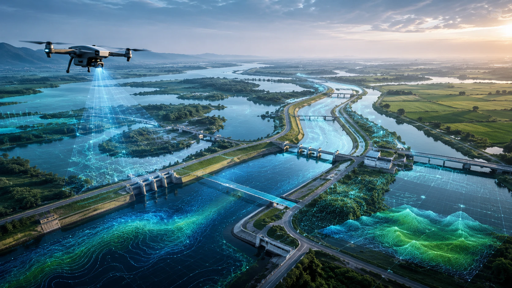
Drone canal waterway mapping helps irrigation departments, water resource teams, contractors, consultants, and infrastructure planners understand canals, waterways, drainage channels, embankments, and surrounding land with better visual and spatial clarity. Instead of depending only on ground visits or outdated maps, drones can capture current aerial data that supports planning, inspection, maintenance, and reporting.
Canals and waterways are important public assets. They affect irrigation, drainage, flood control, agriculture, settlements, roads, and local infrastructure. When canal banks erode, drainage paths get blocked, embankments weaken, or waterway alignments change, the impact can spread across large areas.
For Kolkata, West Bengal, and Eastern India, drone-based mapping is especially useful because many projects involve rivers, canals, low-lying land, monsoon rainfall, flood-prone settlements, agricultural command areas, and water-resource infrastructure.
What is drone canal waterway mapping?
Drone canal waterway mapping is the use of drones to capture aerial images, maps, elevation data, and site documentation of canals, waterways, embankments, drains, river edges, and nearby land. The data is processed into maps, models, reports, and GIS-ready outputs.
A drone mapping project can cover:
- Irrigation canals
- Drainage channels
- River-connected waterways
- Canal banks
- Embankments
- Sluice or outlet areas
- Culverts and crossings
- Waterlogged land
- Agricultural command areas
- Canal-side roads
- Erosion zones
- Maintenance-priority stretches
Skyglimps Technologies LLP supports drone-enabled workflows for irrigation and water resources projects where aerial mapping and spatial documentation can improve planning and maintenance decisions.
Why are drones useful for canal and waterway mapping?
Drones are useful because canals and waterways are long, linear, and often difficult to inspect fully from the ground. A drone can capture continuous aerial visibility across canal banks, water edges, crossings, drainage points, and surrounding land.
Ground inspection is still important, but it can be slow when the site is spread across long distances or affected by mud, vegetation, waterlogging, encroachment, damaged access roads, or unsafe slopes.
Drone mapping helps teams:
- Review long canal stretches faster
- Identify visible erosion and bank damage
- Map drainage and waterlogging patterns
- Document encroachment or obstruction
- Monitor maintenance work
- Capture current site conditions
- Create GIS-ready canal records
- Support pre-monsoon and post-monsoon inspections
- Improve reporting to stakeholders
The biggest benefit is updated site visibility. Canal and waterway conditions can change after rainfall, flooding, siltation, vegetation growth, or maintenance activity. Drone surveys help capture the current condition more clearly.
What methods are used in drone canal waterway mapping?
Drone canal waterway mapping usually uses RGB photogrammetry, LiDAR, GIS processing, elevation modelling, and visual inspection workflows depending on the project objective. The right method depends on whether the goal is mapping, terrain analysis, inspection, or maintenance reporting.
Common methods include:
| Method | Best use |
|---|---|
| RGB aerial mapping | Visual documentation and orthomosaic maps |
| Photogrammetry | 2D maps, 3D models, surface models, and contours |
| Drone LiDAR | Terrain, banks, vegetation-aware mapping, and 3D point clouds |
| GIS analysis | Canal layers, drainage features, asset records, and planning maps |
| Thermal/RGB inspection | Visual asset condition and heat-related inspection where relevant |
| Repeat drone surveys | Before-after comparison and maintenance tracking |
For a basic canal documentation project, RGB mapping may be enough. For flood-risk, embankment, terrain, or drainage analysis, elevation models and GIS layers may be needed. For dense vegetation, complex banks, or 3D terrain requirements, LiDAR can be more useful.
For advanced spatial outputs, Skyglimps Technologies LLP also provides 3D LiDAR & GIS Solutions for organisations that need point clouds, elevation models, and GIS-ready data.
How does RGB mapping help canal projects?
RGB mapping helps canal projects by creating clear aerial images and orthomosaic maps that show the canal, banks, crossings, nearby land, access routes, and visible issues. This is often the first practical layer of drone survey data.
RGB drone data can show:
- Canal alignment
- Bank condition
- Vegetation growth
- Erosion patches
- Siltation indicators
- Blocked stretches
- Nearby roads and settlements
- Culverts and bridges
- Maintenance access routes
- Work completed and pending sections
An orthomosaic map gives a corrected top-down view of the site. It can be used as a base map for marking features, measuring visible areas, planning repair work, and sharing updates with departments or contractors.
RGB mapping is also useful for documentation because it creates dated visual evidence. This helps teams compare the canal condition before and after maintenance, before monsoon, or after heavy rainfall.
How does LiDAR support canal and waterway surveys?
LiDAR supports canal and waterway surveys by capturing detailed 3D point cloud data of terrain, banks, embankments, slopes, vegetation, structures, and surrounding land. This is useful when elevation and geometry matter.
Canal and waterway projects often depend on ground levels. A small difference in elevation can affect drainage, water movement, embankment stability, road access, and flood behaviour. LiDAR helps capture this 3D surface information more systematically.
LiDAR can support:
- Digital elevation models
- Digital surface models
- Canal bank profiles
- Embankment cross-sections
- Slope review
- Terrain analysis
- Floodplain mapping
- Vegetation and surface classification
- 3D waterway corridor records
- Digital twin-ready datasets
LiDAR is not required for every canal project. It is most useful when the project needs stronger terrain understanding, 3D modelling, or GIS-ready spatial data beyond standard visuals.
What deliverables come from drone canal waterway mapping?
Drone canal waterway mapping can produce orthomosaic maps, aerial images, videos, DEMs, DSMs, contours, 3D models, cross-sections, GIS layers, and inspection reports. The deliverables should be selected based on the project’s final use.
Common deliverables include:
| Deliverable | Best use |
| Aerial images | Visual site documentation |
| Drone video | Canal or waterway overview |
| Orthomosaic map | Top-down mapping and measurement |
| DEM | Terrain and low-lying area analysis |
| DSM | Surface model including vegetation and structures |
| Contour map | Elevation and slope review |
| Cross-sections | Canal bank, embankment, and drainage review |
| 3D model | Visual terrain and corridor understanding |
| GIS layers | Planning, asset records, and department workflows |
| PDF report | Stakeholder review and maintenance planning |
The final report should explain what was captured, what was processed, what assumptions were used, and what limitations apply. For example, underwater canal bed conditions may not be captured properly by a standard RGB drone survey unless a specific bathymetric or specialised method is used.
How can drone mapping support canal maintenance?
Drone mapping supports canal maintenance by helping teams identify visible issues, prioritise repair zones, and document maintenance work over time. It gives departments and contractors clearer evidence before sending ground teams for detailed verification.
Drone data can help identify:
- Bank erosion
- Vegetation blockage
- Siltation indicators
- Damaged access roads
- Canal-side encroachment
- Broken or blocked outlets
- Waterlogging near canal edges
- Weak embankment sections
- Culvert or crossing constraints
- Maintenance work progress
For maintenance teams, the main benefit is prioritisation. Instead of inspecting every stretch with equal effort, teams can first review aerial maps and send field teams to the most important locations.
For recurring records, drone-based documentation and progress tracking can help organisations maintain dated visual evidence of repair work and site changes.
How do drones help with drainage and flood-risk assessment?
Drones help drainage and flood-risk assessment by showing canal connections, low-lying land, blocked drains, embankment conditions, surface flow paths, and waterlogging-prone areas. This helps teams understand how water moves through the landscape.
Canals and waterways are linked to flood behaviour. A blocked channel, weak bank, damaged outfall, or low road section can create local flooding or worsen waterlogging.
Drone mapping can support review of:
- Drainage channels
- Canal outfalls
- Floodplain areas
- Water accumulation zones
- Embankments and banks
- Slope and terrain conditions
- River-connected channels
- Access routes for emergency response
- Settlements and roads near water bodies
For Eastern India, where monsoon rainfall and water-resource networks are closely connected, drone mapping can support better pre-monsoon planning, post-flood documentation, and repair prioritisation.
How does GIS make canal mapping data more useful?
GIS makes canal mapping data more useful by organising drone outputs into location-based layers that can be measured, analysed, shared, and updated. It connects canal features with maps, boundaries, assets, and maintenance records.
GIS can help organise:
- Canal alignment
- Bank condition points
- Culvert locations
- Drainage outlets
- Erosion zones
- Access roads
- Embankment sections
- Maintenance-priority areas
- Agricultural command areas
- Settlement proximity
- Flood-risk zones
Without GIS, drone data may remain a collection of images and files. With GIS, it becomes a practical planning layer that departments, engineers, consultants, and contractors can use.
For government and enterprise projects, GIS-ready outputs are especially useful because they can be integrated into existing planning or asset-management systems.
What are the applications of drone canal waterway mapping?
Drone canal waterway mapping has applications in irrigation planning, canal maintenance, flood-risk review, drainage improvement, embankment monitoring, waterway documentation, and public infrastructure management. It supports both planning and field operations.
Key applications include:
- Irrigation canal mapping
- Drainage channel documentation
- Embankment inspection
- Waterlogging assessment
- Canal bank erosion monitoring
- Culvert and crossing review
- Floodplain documentation
- Pre-monsoon inspection
- Post-flood damage review
- Maintenance work verification
- GIS asset mapping
- Contractor progress reporting
For large irrigation and water-resource projects, drone surveys can help departments build a more current record of what exists on the ground and where maintenance is needed.
How should organisations plan a canal mapping drone survey?
Organisations should plan a canal mapping drone survey by defining the canal stretch, project objective, deliverables, accuracy needs, GIS requirements, safety conditions, and reporting format before the flight. Clear planning prevents incomplete or unusable outputs.
Before starting, answer these questions:
- Which canal or waterway stretch needs mapping?
- What is the purpose of the survey?
- Is the goal documentation, inspection, maintenance, or planning?
- Is elevation data required?
- Are cross-sections needed?
- Is LiDAR required?
- Are GIS files required?
- Is repeat monitoring required?
- What file formats are needed?
- Are there airspace or site permissions?
- What access and safety risks exist?
- Who will use the final report?
A basic visual survey and an engineering-focused mapping survey are different. The flight plan, control method, processing workflow, and deliverables should match the final decision the client needs to make.
Why choose Skyglimps Technologies for canal and waterway mapping?
Skyglimps Technologies LLP is a Kolkata-based drone services company and DGCA-certified Remote Pilot Training Organisation serving government and enterprise clients across Eastern India. The company supports drone-enabled workflows across mapping, LiDAR, GIS, inspections, surveillance, documentation, progress tracking, and training.
Skyglimps Technologies, a DGCA-certified RPTO in Kolkata, is positioned for organisations that need structured aerial data for irrigation, water resources, canals, waterways, embankments, drainage systems, and infrastructure projects.
For projects in Kolkata, West Bengal, and Eastern India, local coordination can help improve site scoping, flight planning, field execution, repeat monitoring, and reporting clarity.
Drone canal waterway mapping works best when the data is captured with the final decision in mind: maintenance, planning, flood-risk review, drainage improvement, or project documentation.
FAQ: Drone Canal Waterway Mapping
Drone canal waterway mapping uses drones to capture aerial data of canals, waterways, banks, embankments, drainage channels, and nearby land for planning and maintenance.
Deliverables may include aerial images, drone videos, orthomosaic maps, DEMs, DSMs, contour maps, cross-sections, 3D models, GIS layers, and PDF reports.
Yes. Drones can document visible erosion, bank damage, vegetation disturbance, waterlogging, weak stretches, and access issues for ground verification.
LiDAR is not always required. RGB mapping may be enough for visual documentation, while LiDAR is useful for terrain, elevation, embankment, and 3D spatial analysis.
Yes. Pre-monsoon drone mapping can help identify canal blockage, bank erosion, weak embankments, drainage issues, and maintenance-priority areas.
Standard RGB drone mapping usually does not measure underwater canal depth accurately. Bathymetric or specialised survey methods may be required for underwater depth mapping.
Irrigation departments, water resource teams, disaster management agencies, contractors, infrastructure planners, local bodies, and consultants can use drone canal mapping data.
Map canals and waterways with better aerial data
Drone canal waterway mapping gives water resource teams a faster and clearer way to understand canals, banks, drainage routes, embankments, and surrounding land. It supports maintenance planning, flood-risk review, irrigation management, documentation, and stakeholder reporting.
For canal and waterway projects in Kolkata, West Bengal, and Eastern India, drone surveys can help departments and contractors work with current visual and spatial evidence.
If your organisation needs canal mapping, waterway documentation, embankment inspection, drainage assessment, GIS-ready outputs, or recurring maintenance records, connect with Skyglimps Technologies LLP through the Irrigation & Water Resources industry page and share your site location, canal stretch, mapping objective, and required deliverables.