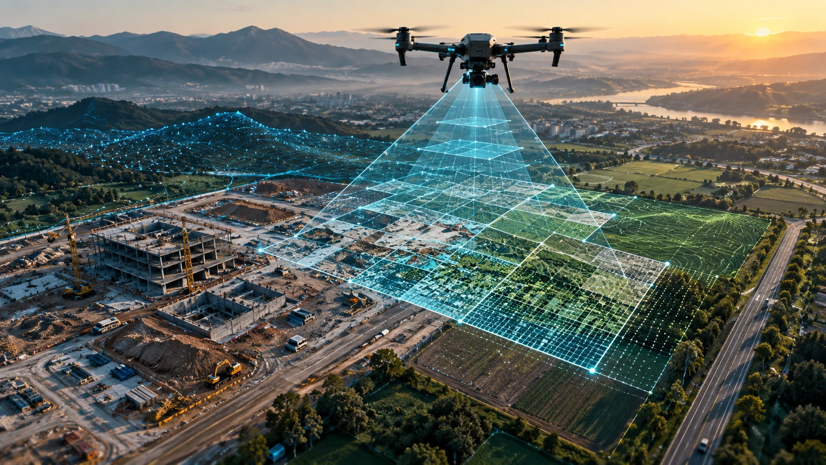
Knowing how to choose drone survey company partners is important because drone mapping is not just about flying a drone over a site. A professional drone survey company must understand project scope, accuracy requirements, data deliverables, site safety, regulatory compliance, and post-processing workflows.
In India, drones are now used for land surveys, construction progress tracking, road and corridor mapping, mining documentation, irrigation planning, agriculture, urban development, and infrastructure monitoring. But not every drone operator is qualified to deliver survey-ready outputs. A low-cost vendor may provide aerial photos, while a professional survey partner provides usable spatial data for decision-making.
This guide explains the seven most important questions to ask before hiring a drone survey company in India.
1. Is the drone survey company compliant with Indian drone rules?
A drone survey company in India should understand DGCA rules, Digital Sky requirements, airspace restrictions, drone registration, pilot certification, and site-level permissions. Compliance protects the client, pilot, project site, and public.
India’s drone ecosystem is regulated through the DGCA framework and the Digital Sky platform. Drone operations must respect airspace classifications, safety rules, operational limits, and permission requirements. The pilot and drone must be suitable for the type of work being performed.
Before hiring, ask the company:
- Are your drone pilots trained and certified for professional operations?
- Do you check the airspace category before flying?
- Do you use compliant drones for commercial projects?
- Do you help with permission planning where required?
- Do you follow site safety protocols?
- Do you maintain basic flight records for professional assignments?
This question is especially important for projects near airports, government buildings, defence-sensitive locations, industrial assets, railways, ports, high-security sites, and dense urban areas.
A professional company will not treat compliance as a formality. It will check the operating environment before flying and explain what can or cannot be done safely.
2. Does the company understand your survey objective?
The right drone survey company will first ask why the survey is needed before suggesting a method or quote. A construction progress survey, land mapping project, mining volume estimate, and irrigation planning assignment all need different workflows.
Many buyers make the mistake of asking only, “What is your per-acre rate?” A better first question is, “Can you understand the purpose of this survey and suggest the right deliverables?”
Your project objective may include:
- Land mapping
- Site documentation
- Road or corridor mapping
- Construction progress tracking
- Stockpile or earthwork volume estimation
- Topographic mapping
- Contour generation
- Irrigation and canal planning
- Mining or infrastructure monitoring
- Urban planning support
- Agriculture or forestry assessment
The company should be able to translate your objective into a clear scope of work. For example, if you need only site visuals, aerial photos and video may be enough. If you need measurement-ready data, you may need orthomosaics, contours, ground control, GIS files, or 3D outputs.
Skyglimps Technologies LLP provides 2D Surveying & Mapping for organisations that need structured aerial mapping outputs for land, infrastructure, and project documentation.
3. What deliverables will you receive after the drone survey?
A professional drone survey company should clearly define the deliverables before the project starts. The deliverable determines the field method, processing time, accuracy workflow, and final value of the survey.
Do not accept a vague promise such as “we will give drone data.” Ask exactly what files, maps, models, and reports will be delivered.
Common drone survey deliverables include:
| Deliverable | What it helps with | Buyer question to ask |
|---|---|---|
| Raw aerial images | Visual site reference | Are all original images included? |
| Orthomosaic map | Accurate stitched site map | Will it be georeferenced? |
| Contour map | Elevation and planning | What contour interval is possible? |
| DEM / DSM | Terrain and surface modelling | Which model is required for my use case? |
| 3D model | Visualisation and planning | What format will be delivered? |
| Point cloud | Advanced 3D spatial data | Is it photogrammetry or LiDAR-based? |
| Volume report | Stockpile and earthwork estimation | What method will be used? |
| GIS/CAD files | Planning and engineering workflows | Which file formats are included? |
| Progress report | Site monitoring | Can outputs be compared over time? |
For advanced mapping and spatial datasets, clients may also need 3D LiDAR & GIS solutions depending on the site and accuracy requirements.
A clear deliverables list prevents disputes after the survey. It also helps your engineering, planning, project, or documentation team use the data properly.
4. How will the company ensure data accuracy?
A reliable drone survey company should explain how it plans flight parameters, image overlap, ground control, coordinate systems, and quality checks. Accuracy is not created by the drone alone; it comes from the complete survey workflow.
Drone survey accuracy depends on several factors:
- Flight altitude
- Image overlap
- Camera or sensor quality
- Weather and lighting
- Ground control points
- Site terrain
- Processing method
- Coordinate system
- Quality review
- Final deliverable format
For professional mapping, ground control points are often used to improve positional reliability. Ground control connects aerial data to known ground references. This is especially important when the survey output will support planning, engineering, quantity estimation, or official project decisions.
Ask these questions before hiring:
- Will you use ground control points?
- Which coordinate system will the output follow?
- What accuracy level is suitable for my project?
- How will you check the processed data?
- Can the deliverables be used by my engineer, GIS team, or consultant?
- What are the limitations of the output?
A good drone survey company will explain both strengths and limitations. It will not promise unrealistic accuracy without understanding the site, deliverables, and control method.
5. Does the company have experience in your type of project?
The best drone survey company for your project is one that understands your sector, site conditions, and decision-making needs. Drone survey work for construction, mining, irrigation, agriculture, power utilities, and urban planning requires different practical knowledge.
A company may be good at aerial photography but weak in survey mapping. Another may be strong in inspections but not in terrain modelling. The right choice depends on your project type.
Ask for relevant experience in:
- Construction sites
- Infrastructure corridors
- Irrigation and water resource projects
- Mining and earthwork sites
- Industrial facilities
- Agricultural or forestry areas
- Urban planning and smart city projects
- Power and utility assets
- Government or enterprise documentation
In Eastern India, project environments can be highly varied. A drone survey team may need to work across Kolkata construction sites, West Bengal industrial zones, mining belts, river-adjacent areas, agricultural land, and infrastructure corridors.
For recurring infrastructure work, drone data can also support documentation and progress tracking across different project stages.
Experience matters because field conditions affect planning. A survey team that understands your sector can ask better questions, identify risks earlier, and deliver outputs that match your internal use case.
6. How transparent is the pricing and scope?
A professional drone survey quote should clearly mention the site area, deliverables, number of visits, processing scope, travel, permissions, timelines, and exclusions. A cheap quote is risky if it does not define what is included.
Drone survey pricing in India is affected by:
- Site size
- Terrain complexity
- Location and travel
- Airspace and permission requirements
- Type of drone or sensor needed
- Accuracy requirement
- Ground control requirement
- Number of deliverables
- Data processing workload
- Report format
- Project urgency
- Repeat visits or monitoring frequency
Before approving a quote, ask:
- Is the quote based on acreage, day rate, or project scope?
- Are travel and mobilisation included?
- Are revisions included?
- Are raw images included?
- Are maps, contours, or GIS files included?
- Are permissions and safety planning included?
- What happens if weather delays the survey?
- What is excluded from the quote?
The lowest quotation may not be the best value. If one company includes only drone images and another includes mapping, processing, reporting, and quality checks, the prices cannot be compared directly.
A transparent quote should help you understand the final output, not just the field activity.
7. How does the company handle safety, communication, and project coordination?
A dependable drone survey company should have a clear process for site coordination, safety briefings, weather planning, data handover, and communication with the client team. Project execution quality matters as much as drone flying skill.
Drone surveys often happen in active work environments. These may include construction sites, factories, roads, mining areas, irrigation projects, utility zones, or public spaces. Poor coordination can create delays, safety risks, or incomplete data.
A professional company should coordinate:
- Site access
- Security permissions
- Take-off and landing zones
- Worker and public safety
- Weather windows
- Battery and equipment planning
- Client contact person
- Data handover format
- Timeline for deliverables
- Escalation process for delays
Ask who will be responsible for communication before, during, and after the survey. You should know who will visit the site, who will process the data, and who will answer technical questions.
For government, PSU, and enterprise projects, coordination is even more important. Site-level permissions, security protocols, safety briefings, and documentation requirements can directly affect project success.
Quick checklist: how to choose drone survey company partners
The right drone survey company should be compliant, technically clear, sector-aware, transparent in pricing, and capable of delivering usable data. Use this checklist before finalising a vendor.
| Question | What a good answer should include |
| Are you compliant with Indian drone rules? | Pilot certification, airspace checks, drone compliance, safety process |
| What is your survey workflow? | Scope review, flight planning, data capture, processing, quality check |
| What deliverables will I receive? | Clear list of maps, files, reports, models, and formats |
| How will accuracy be managed? | Flight planning, ground control, processing method, limitations |
| Do you have relevant project experience? | Similar sector or site-type experience |
| What is included in the price? | Area, visits, travel, processing, deliverables, exclusions |
| How do you manage safety and communication? | Site coordination, permissions, weather planning, handover process |
This checklist helps you separate a drone operator from a professional drone survey company.
Why choose Skyglimps Technologies for drone survey services?
Skyglimps Technologies LLP is a Kolkata-based drone services company and DGCA-certified Remote Pilot Training Organisation serving government and enterprise clients across Eastern India. The company supports professional drone workflows across surveying, mapping, inspections, surveillance, documentation, and training.
For clients in Kolkata, West Bengal, and Eastern India, working with a regional drone survey partner helps improve project coordination and local site understanding. Skyglimps works across sectors where drone data supports faster inspection, better documentation, safer field assessment, and improved planning visibility.
Skyglimps Technologies, a DGCA-certified RPTO in Kolkata, brings both operational drone service capability and formal drone training expertise. This makes the company a strong fit for organisations that want a structured, compliance-aware approach to aerial mapping and survey documentation.
For teams involved in city development, infrastructure planning, and civic projects, drone data can also support better visibility across urban planning and smart city projects.
FAQ: How to Choose Drone Survey Company in India
Choose a drone survey company by checking compliance, pilot certification, project experience, accuracy workflow, deliverables, pricing transparency, safety process, and communication quality
Ask about drone compliance, airspace checks, survey objective, deliverables, ground control, accuracy expectations, file formats, project timeline, pricing inclusions, and site safety process.
No. A drone operator may only fly the drone, while a drone survey company plans the survey, captures data, processes outputs, checks quality, and delivers usable maps or reports.
Common deliverables include aerial images, orthomosaic maps, contour maps, DEM, DSM, 3D models, point clouds, volume reports, GIS files, and progress reports.
Professional drone survey companies should use trained and certified pilots for applicable commercial operations. Pilot competence and compliance are important for safe and reliable project execution.
Yes, drone surveys are widely used for government, PSU, infrastructure, urban planning, mining, irrigation, agriculture, and enterprise documentation when planned with proper compliance and deliverables.
Choose a drone survey partner that understands the full project
Learning how to choose drone survey company partners can save time, money, and rework. The right company will not only fly a drone; it will understand the site, plan the workflow, manage safety, process the data, and deliver outputs your team can use.
If your project needs drone mapping, land survey support, construction progress documentation, infrastructure mapping, mining assessment, irrigation planning, or urban project visibility, connect with Skyglimps Technologies LLP through the 2D Surveying & Mapping service page and share your site location, project objective, and required deliverables.