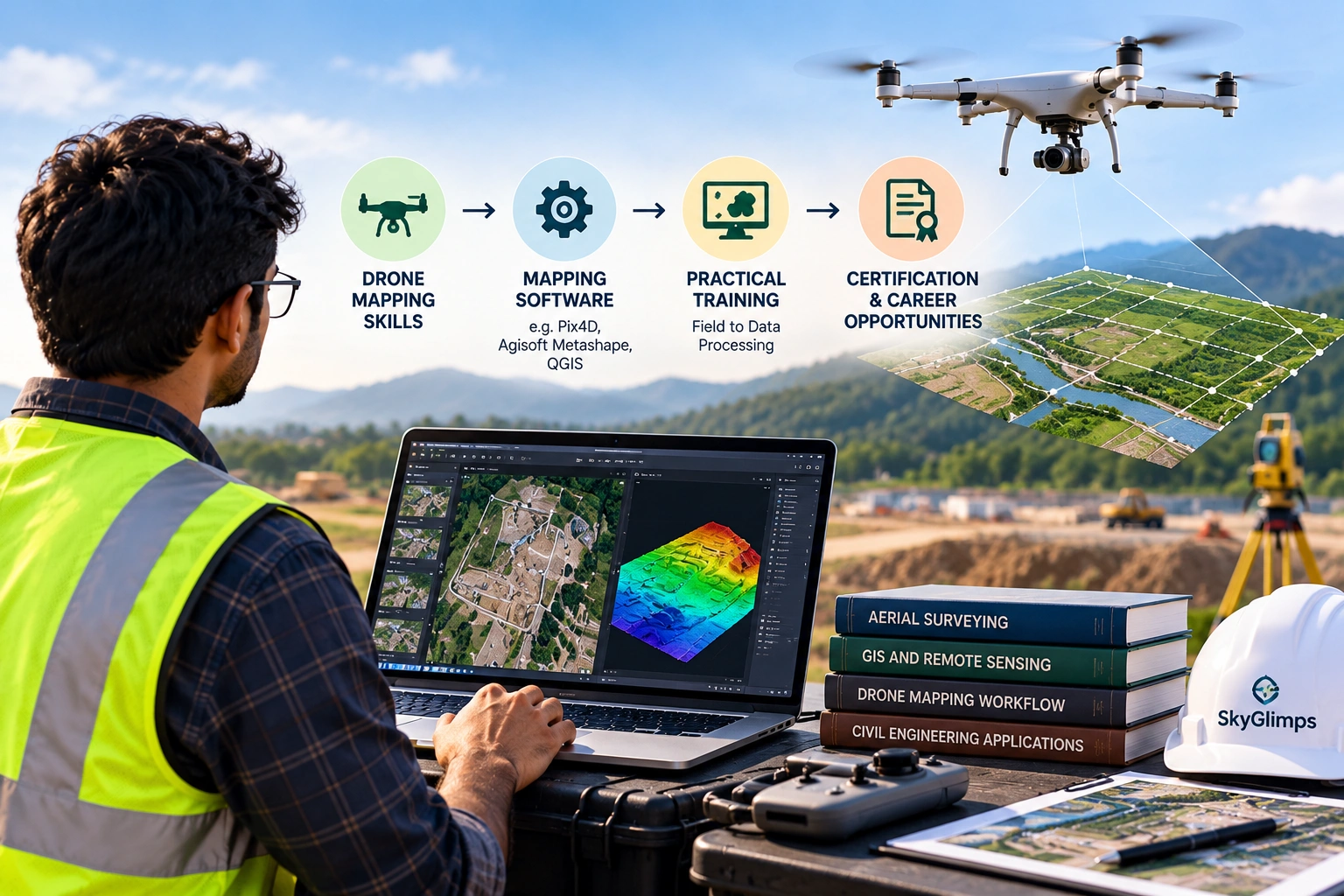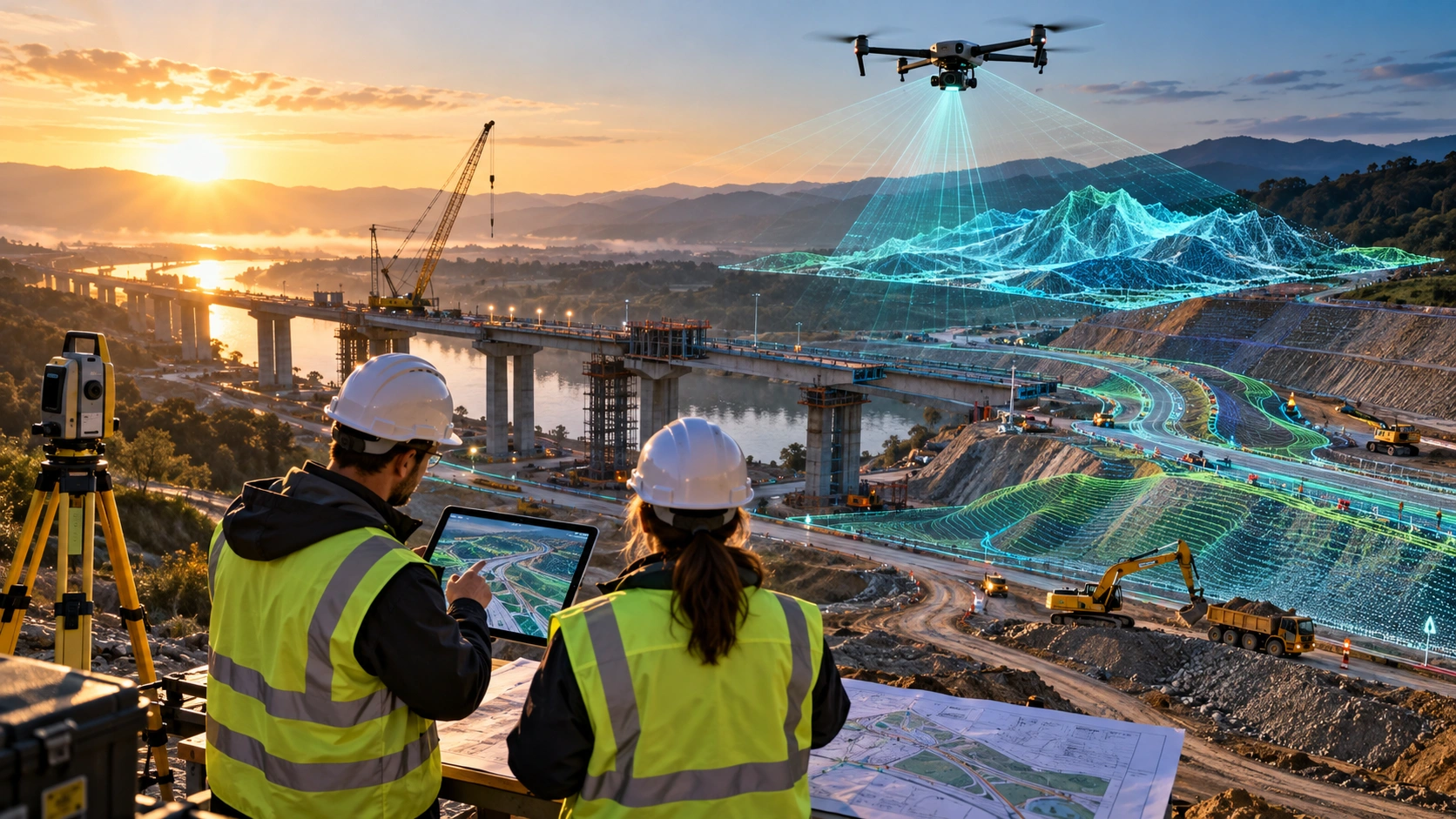
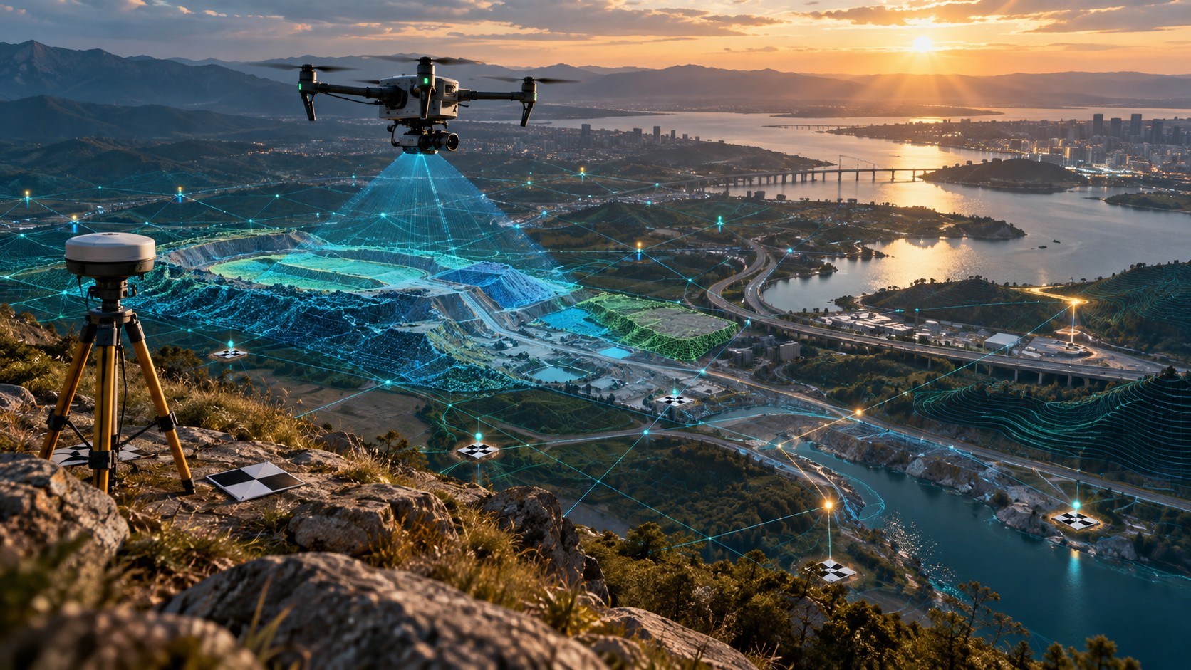
Georeferencing drone mapping is the process of connecting drone images, maps, point clouds, and elevation models to real-world coordinates. Without georeferencing, a drone image may look clear, but it may not align correctly with site boundaries, CAD drawings, GIS layers, road alignments, canal routes, utility assets, or previous survey data.
For construction, mining, roads, canals, real estate, utilities, smart cities, irrigation, and infrastructure projects, location accuracy matters. Project teams do not only need attractive aerial images. They need data that can be placed correctly on the earth’s surface and used with other spatial information.
This guide explains what georeferencing means in drone mapping, how it works, what affects its quality, and why it matters for professional drone survey and GIS deliverables.
What is georeferencing in drone mapping?
Georeferencing in drone mapping means assigning real-world coordinates to drone data so that maps, images, point clouds, and elevation models align with the correct location on the ground. It allows drone outputs to be used in GIS, CAD, planning, monitoring, and measurement workflows.
A non-georeferenced image may show the site visually, but it does not reliably tell you where every point is located in a coordinate system. A georeferenced output can be opened in mapping software and aligned with boundaries, survey layers, roads, utilities, contours, and other spatial datasets.
Georeferenced drone outputs may include:
- Orthomosaic maps
- Digital Elevation Models
- Digital Surface Models
- Digital Terrain Models
- Point clouds
- Contour maps
- Cross-sections
- GIS layers
- CAD-ready files
- Site progress maps
- Inspection location references
Skyglimps Technologies LLP provides 3D LiDAR & GIS Solutions for organisations that need point clouds, elevation models, GIS-ready data, terrain analysis, and professional spatial outputs.
Why does georeferencing matter?
Georeferencing matters because it turns drone data from a visual image into usable spatial information. It helps project teams locate, measure, compare, analyse, and share drone survey outputs correctly.
Georeferencing helps with:
- Site boundary alignment
- GIS layer compatibility
- CAD coordination
- Road and canal mapping
- Construction progress comparison
- Mining volume calculation
- Utility corridor documentation
- Contour and elevation analysis
- Repeat survey comparison
- Asset location tracking
- Engineering and planning review
For example, a construction team may need to compare drone maps from different months. If each map is not georeferenced properly, the comparison may show false shifts or alignment errors. A mining team may need volume calculation. If the surface model is not positioned correctly, the quantity output may become unreliable.
Georeferencing helps ensure that drone data fits the real project location.
What is the difference between a normal drone image and a georeferenced drone map?
A normal drone image shows what the camera captured, while a georeferenced drone map is tied to a real-world coordinate system. This makes the map usable for measurement, overlay, planning, and GIS analysis.
A practical comparison:
| Factor | Normal drone image | Georeferenced drone map |
|---|---|---|
| Main purpose | Visual viewing | Spatial analysis and project use |
| Coordinate system | Not always usable | Defined coordinate reference system |
| GIS compatibility | Limited | Can align with GIS layers |
| CAD compatibility | Limited | Can support CAD coordination |
| Measurement use | Limited | More suitable when properly controlled |
| Project comparison | Difficult | Easier across different dates |
| Typical output | JPG or video | GeoTIFF, SHP, DXF, LAS/LAZ, PDF report |
A normal aerial photo can be useful for presentation. A georeferenced map can support decision-making.
How does georeferencing work in drone mapping?
Georeferencing works by connecting drone image positions, ground control, GNSS data, and processing software to a defined coordinate system. The final output is placed in its correct geographic location.
A typical workflow may include:
- Define the project boundary.
- Select the required coordinate system.
- Plan the drone flight.
- Place and measure Ground Control Points if required.
- Capture overlapping drone images or LiDAR data.
- Record GNSS data from the drone, base station, RTK, or PPK workflow.
- Process the data in photogrammetry, LiDAR, or GIS software.
- Align the model with ground control or positioning data.
- Check accuracy using checkpoints.
- Export georeferenced deliverables.
The exact workflow depends on the project. A basic site map, a LiDAR corridor survey, a mining volume report, and a GIS-ready terrain model may all need different levels of georeferencing and validation.
What role do Ground Control Points play?
Ground Control Points, or GCPs, help georeference drone data by connecting visible points in drone images to accurately measured ground coordinates. They are one of the most common ways to improve alignment and accuracy.
A GCP is usually a clearly visible marker placed on the ground before the drone flight. The survey team records its coordinates using suitable survey or GNSS equipment. During processing, the GCPs help anchor the drone model to the correct location.
GCPs are useful for:
- Orthomosaic alignment
- DEM and DSM accuracy
- DTM generation support
- Contour reliability
- Volume calculation confidence
- GIS and CAD compatibility
- Repeat survey comparison
- Accuracy validation
The placement of GCPs matters. They should be distributed across the survey area logically, not placed randomly in one corner. A large or complex site may need more control planning than a small open site.
How do RTK and PPK help georeferencing?
RTK and PPK help georeferencing by improving the position data recorded during the drone survey. RTK applies correction during flight, while PPK applies correction after the flight during processing.
A simple comparison:
| Method | Full form | How it supports georeferencing |
|---|---|---|
| GCP | Ground Control Point | Uses measured ground points visible in images |
| RTK | Real-Time Kinematic | Corrects drone position during flight |
| PPK | Post-Processed Kinematic | Corrects drone position after flight |
| Checkpoints | Independent validation points | Test final georeferencing and accuracy |
RTK and PPK can reduce field effort because the drone’s image positions are more accurate from the start. However, professional projects should still use checkpoints where accuracy matters.
For important survey deliverables, the key question is not only “Was RTK or PPK used?” The better question is: “How was the final output checked?”
What coordinate systems are used in georeferencing?
Coordinate systems define how locations are represented on the earth’s surface. A georeferenced drone map must use the correct coordinate system for the project, client, GIS team, or engineering workflow.
Common coordinate-related terms include:
- Latitude and longitude
- UTM zones
- WGS84
- Projected coordinate systems
- Local coordinate systems
- Vertical datum
- EPSG codes
- Benchmarks
- Control points
- Grid coordinates
The wrong coordinate system can cause serious alignment problems. A drone map may look correct by itself but shift when overlaid with CAD drawings, GIS layers, government maps, or previous survey data.
Clients should confirm the required coordinate system before fieldwork begins, especially when engineers, consultants, GIS teams, or government departments will use the data.
How does georeferencing affect orthomosaic maps?
Georeferencing affects orthomosaic maps by placing the stitched aerial image in the correct real-world location. This allows the orthomosaic to align with site boundaries, roads, utilities, buildings, and GIS layers.
A georeferenced orthomosaic can support:
- Site planning
- Land mapping
- Construction progress review
- Road and canal documentation
- Real estate layout review
- Mining site monitoring
- Irrigation and drainage planning
- Utility corridor mapping
- GIS base-map creation
Without proper georeferencing, an orthomosaic may still look visually detailed but may not align with project drawings or spatial datasets. This can create confusion during planning and reporting.
For many projects, the orthomosaic is the base layer that other information is compared against. Its georeferencing must be reliable.
How does georeferencing affect DEM, DSM, and DTM outputs?
Georeferencing affects DEM, DSM, and DTM outputs because elevation models must be positioned correctly in horizontal and vertical space. This matters for contours, slope analysis, drainage planning, volume calculation, and infrastructure design support.
Elevation outputs may include:
- DEM: Digital Elevation Model
- DSM: Digital Surface Model
- DTM: Digital Terrain Model
- Contour maps
- Cross-sections
- Cut-fill surfaces
- Stockpile models
- Terrain layers
If the horizontal position is wrong, the elevation model may not align with the site. If the vertical reference is wrong, contours, drainage interpretation, or volume calculations may be misleading.
For LiDAR and terrain-heavy projects, georeferencing is especially important because point clouds and elevation models must align correctly with GIS and CAD systems.
How does georeferencing affect point clouds and LiDAR data?
Georeferencing affects point clouds and LiDAR data by ensuring each point has the correct real-world x, y, and z position. This is essential for 3D mapping, terrain modelling, corridor mapping, and GIS analysis.
Point clouds may be used for:
- 3D terrain modelling
- Corridor mapping
- Utility route analysis
- Road and canal projects
- Mining and quarry surveys
- Urban planning
- Vegetation and ground classification
- Infrastructure documentation
- Contour generation
- CAD and GIS exports
A point cloud without correct georeferencing may be difficult to use with existing project layers. It may also create problems during measurement, alignment, or repeat survey comparison.
For professional 3D outputs, the survey team should define the positioning workflow, coordinate system, vertical reference, and validation method before processing begins.
How does georeferencing help repeat surveys?
Georeferencing helps repeat surveys by allowing drone outputs from different dates to align correctly. This is important for progress tracking, change detection, volume comparison, and monitoring.
Repeat surveys are used in:
- Construction progress monitoring
- Mining volume tracking
- Road project updates
- Canal and embankment monitoring
- Real estate development
- Utility corridor documentation
- Flood or erosion assessment
- Stockyard monitoring
If two drone maps are not georeferenced consistently, the site may appear to shift between survey dates. This can make progress comparison unreliable.
For recurring work, the same coordinate system, control strategy, flight planning logic, and processing standards should be followed wherever practical.
Skyglimps also supports Documentation & Progress Tracking for organisations that need dated aerial records and project-stage comparison.
What happens when drone data is poorly georeferenced?
Poor georeferencing can cause drone maps, models, and GIS outputs to appear shifted, rotated, distorted, or misaligned with real-world project data. This can reduce confidence in the final report.
Common problems include:
- Orthomosaic shifted from site boundary
- CAD drawing not aligning with drone map
- GIS layers appearing in the wrong location
- Contours not matching reference data
- Point cloud offset from project coordinates
- Repeat surveys not overlapping correctly
- Volume calculations affected by surface mismatch
- Confusion between local and global coordinates
- Wrong vertical reference used
- Client unable to use delivered files
Poor georeferencing can create rework, delays, and disputes. It is much better to define the coordinate and accuracy workflow before the flight than to correct confusion after delivery.
How is georeferencing different from accuracy?
Georeferencing and accuracy are related, but they are not the same. Georeferencing places drone data into a coordinate system, while accuracy describes how close that placed data is to the true ground position or elevation.
A simple distinction:
| Term | Meaning |
|---|---|
| Georeferencing | Assigning real-world coordinates to drone data |
| Horizontal accuracy | How close x-y positions are to true locations |
| Vertical accuracy | How close elevation values are to true levels |
| GSD | Ground detail represented by each pixel |
| GCP | Ground point used to control alignment |
| Checkpoint | Independent point used to test final accuracy |
| Coordinate system | Framework used to locate data on the earth |
A drone map can be georeferenced but still not accurate enough for engineering use. This is why clients should ask both questions: “Is the data georeferenced?” and “How accurate is it for our purpose?”
How does georeferencing affect project deliverables?
Georeferencing affects nearly every professional drone mapping deliverable that must align with real-world coordinates. It is especially important for GIS, CAD, terrain, measurement, and monitoring outputs.
| Deliverable | Why georeferencing matters |
|---|---|
| Orthomosaic map | Aligns the top-down image to real-world location |
| DEM / DSM / DTM | Positions elevation surfaces correctly |
| Contour map | Helps levels align with project coordinates |
| Point cloud | Gives 3D points real-world x, y, z positions |
| Volume report | Supports surface comparison and measurement context |
| Cross-sections | Aligns sections with corridor or site coordinates |
| GIS files | Allows use with spatial layers and databases |
| CAD exports | Helps engineers use data in design workflows |
| Progress maps | Allows comparison across multiple survey dates |
For simple presentation videos, georeferencing may be less critical. For survey, GIS, engineering, infrastructure, mining, or government project work, it is essential.
What should clients define before georeferencing drone data?
Clients should define the project objective, coordinate system, deliverables, accuracy requirement, file formats, and validation needs before drone data is processed. These decisions affect how georeferencing should be handled.
Before the survey, clients should clarify:
- What is the project objective?
- What site boundary should be mapped?
- Which coordinate system is required?
- Is a local grid or global coordinate system needed?
- Is vertical accuracy important?
- Are GCPs, RTK, PPK, or checkpoints required?
- Will the data be used in GIS or CAD?
- Are DEMs, DSMs, DTMs, or contours required?
- Are repeat surveys planned?
- What file formats are required?
- Who will use the final data?
- What accuracy report is needed?
A clear brief helps the drone survey team avoid alignment issues later.
What file formats preserve georeferencing?
Georeferencing is commonly preserved in spatial file formats that store coordinate information or are designed for GIS and CAD workflows. The right format depends on the deliverable and software requirement.
Common formats include:
- GeoTIFF for orthomosaics, DEMs, DSMs, and DTMs
- LAS or LAZ for point clouds
- SHP for GIS vector layers
- KML or KMZ for Google Earth viewing
- DXF or DWG for CAD workflows
- CSV for coordinate tables
- PDF reports with location references
- GIS project files where required
A JPG image may be useful for viewing, but it may not contain the same geospatial information as a GeoTIFF or GIS-ready file. Clients should ask for the format that matches their workflow.
What should a georeferenced drone mapping report include?
A professional georeferenced drone mapping report should explain the coordinate system, control method, accuracy checks, processing workflow, deliverables, assumptions, and limitations. This helps clients understand how the data should be used.
A useful report may include:
- Project name and location
- Survey date
- Site boundary
- Coordinate system
- Vertical reference
- GCP or checkpoint summary
- RTK or PPK workflow, if used
- Drone capture summary
- Processing method
- Orthomosaic preview
- DEM, DSM, or DTM preview
- Point cloud notes
- Contour interval
- Deliverable file list
- Accuracy or quality notes
- Assumptions and limitations
The report should not only deliver files. It should explain what the files mean and how reliable they are for the intended use.
What mistakes should clients avoid?
Clients should avoid treating georeferencing as a minor technical detail. It directly affects whether drone outputs can be trusted and used with other project data.
Common mistakes include:
- Asking only for drone images instead of georeferenced outputs
- Not defining the coordinate system
- Ignoring vertical reference requirements
- Not sharing existing CAD or GIS data
- Not planning GCPs, RTK, PPK, or checkpoints
- Expecting engineering-grade data without accuracy checks
- Using JPG images when GeoTIFF or GIS files are required
- Comparing repeat surveys with different coordinate settings
- Ignoring file compatibility needs
- Not asking how the final output was validated
A properly georeferenced drone map can save time. A poorly georeferenced output can create confusion across teams.
Why choose Skyglimps Technologies for georeferenced drone mapping?
Skyglimps Technologies LLP is a Kolkata-based drone services company and DGCA-certified Remote Pilot Training Organisation serving government and enterprise clients across Eastern India. The company supports drone-enabled workflows across 3D LiDAR, GIS, surveying, mapping, inspections, documentation, surveillance, and training.
Skyglimps Technologies, a DGCA-certified RPTO in Kolkata, is positioned for organisations that need point clouds, elevation models, georeferenced orthomosaics, GIS layers, terrain outputs, corridor mapping, infrastructure data, and professional survey deliverables.
For projects in Kolkata, West Bengal, Jharkhand, Odisha, and Eastern India, local coordination can help improve site scoping, field execution, coordinate-system planning, GCP strategy, LiDAR processing, GIS compatibility, and reporting clarity.
Georeferencing drone mapping should be planned before fieldwork begins so that the final deliverables align with the project’s real-world requirements.
FAQ: Georeferencing Drone Mapping
Georeferencing in drone mapping means assigning real-world coordinates to drone images, maps, point clouds, and elevation models so they align with the correct ground location.
Georeferencing is important because it allows drone outputs to align with GIS layers, CAD files, site boundaries, previous surveys, and project coordinate systems.
No. Georeferencing places data in a coordinate system. Accuracy describes how close that data is to the true ground position or elevation.
Yes. GCPs help georeference drone data by linking visible ground points in images to accurately measured coordinates.
No. RTK and PPK support georeferencing by improving drone position data. The final output still needs proper processing, coordinate setup, and validation.
Common formats include GeoTIFF, LAS/LAZ, SHP, KML/KMZ, DXF/DWG, CSV, and GIS project files depending on the deliverable.
Poor georeferencing can cause maps, models, contours, point clouds, GIS files, and CAD overlays to shift, rotate, distort, or misalign with project data.
Make drone mapping data usable, not just visual
Georeferencing drone mapping is what makes aerial data useful for real project decisions. It connects drone images, orthomosaics, point clouds, elevation models, contours, and GIS layers to real-world coordinates.
For construction, mining, roads, canals, utilities, real estate, irrigation, and infrastructure projects, georeferencing helps teams align drone data with site boundaries, CAD drawings, GIS layers, previous surveys, and future monitoring records.
If your organisation needs georeferenced orthomosaics, point clouds, DEMs, DSMs, DTMs, contours, GIS-ready files, CAD-ready outputs, LiDAR mapping, or professional 3D spatial data in Kolkata, West Bengal, or Eastern India, connect with Skyglimps Technologies LLP through the 3D LiDAR & GIS Solutions service page and share your site location, coordinate requirements, project objective, accuracy needs, and required deliverables.