

DEM vs DSM vs DTM: Key Differences in Drone Mapping Outputs
Drone Mapping vs Satellite Imagery: Which Is Better for Site-Level Data?

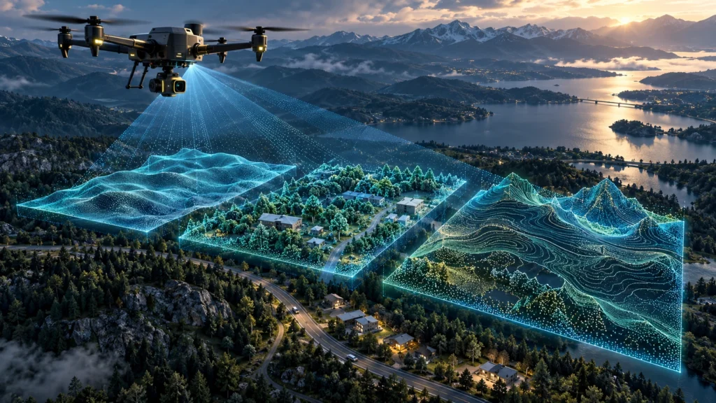
Drone mapping vs satellite imagery is an important comparison for project teams that need reliable site-level data. Both methods capture information from above, but they are not designed for the same purpose. Satellite imagery is useful for large-area observation, regional monitoring, environmental analysis, and broad change detection. Drone mapping is usually better when a project […]
What Is Ground Sampling Distance (GSD) in Drone Mapping?
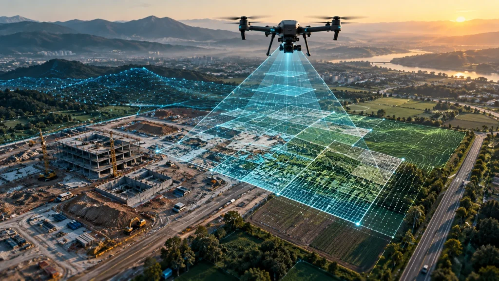
Ground sampling distance drone mapping is an important concept for project teams that need clear, useful, and measurement-ready aerial data. GSD tells you how much real-world ground area is represented by one pixel in a drone image. In simple terms, it helps explain the level of detail your drone survey can capture. For example, if […]
Drone Inspection Checklist for Industrial Assets: What to Capture and Report

A drone inspection checklist helps industrial teams capture the right visual, thermal, and technical information before preparing an inspection report. Industrial assets such as power infrastructure, solar plants, factories, pipelines, towers, bridges, and large facilities require structured inspection workflows to identify issues, document conditions, and support maintenance decisions. A drone inspection is not only about […]
Drone Survey vs Drone Inspection: Which Service Does Your Project Need?
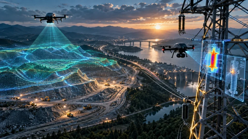
Drone survey vs drone inspection is a common question for project teams, contractors, developers, asset managers, utilities, and industrial companies planning to use drone services. Both services use drones, but they solve different problems. A drone survey is mainly used to map, measure, and document a site. A drone inspection is mainly used to examine […]
Thermal Imaging vs RGB Inspection: Which Method Finds What?
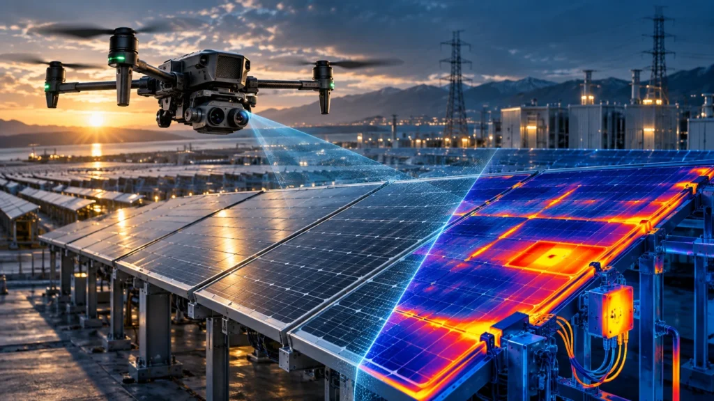
Thermal vs RGB drone inspection is an important comparison for project teams, asset managers, utility companies, solar plant operators, industrial facilities, and infrastructure teams. Both methods are useful, but they do not find the same type of issue. RGB inspection shows what is visible to the normal camera. Thermal inspection shows temperature differences that may […]
Drone Surveillance vs CCTV: When Aerial Monitoring Adds Value

Drone surveillance vs CCTV is not a question of which system should completely replace the other. CCTV is useful for fixed, continuous monitoring of known locations, while drone surveillance adds value when a site needs mobile, aerial, flexible, and wider-area visibility. For many security, infrastructure, industrial, event, construction, and emergency-response use cases, the strongest approach […]
Drone Survey Planning Checklist: What to Prepare Before Fieldwork
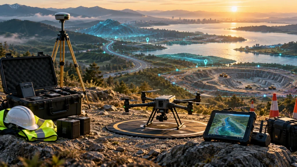
A clear drone survey planning checklist helps project teams prepare the site, documents, permissions, safety requirements, deliverables, and accuracy workflow before fieldwork begins. Good drone survey results do not start when the drone takes off. They start when the project scope, site boundary, flight plan, ground control, reporting needs, and client expectations are clearly defined. […]
Drone Survey Scope of Work: What Clients Should Define Before a Project Starts
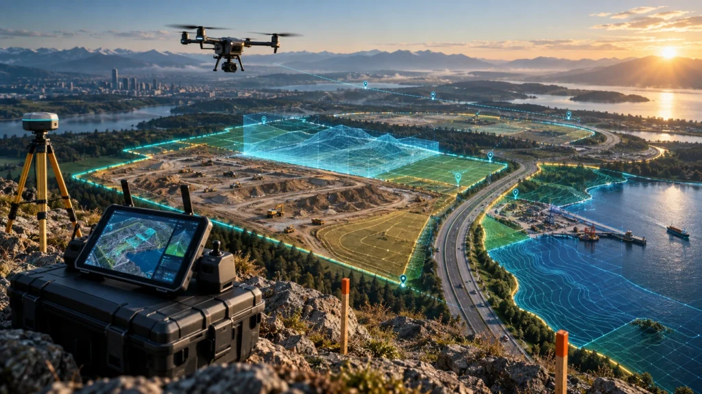
A clear drone survey scope of work helps clients, contractors, engineers, consultants, and drone survey teams agree on what will be captured, processed, checked, and delivered before the project begins. Without a defined scope, even a well-flown drone survey can lead to confusion over site coverage, accuracy, file formats, timelines, deliverables, and final report expectations. […]
Drone Survey Accuracy: Key Factors Project Teams Should Know

Drone survey accuracy depends on much more than the drone camera. A sharp aerial image may look impressive, but professional survey data must also be correctly positioned, properly processed, and suitable for the final project decision. For construction, mining, roads, canals, real estate, utilities, and infrastructure projects, accuracy affects measurements, maps, contours, volume reports, GIS […]