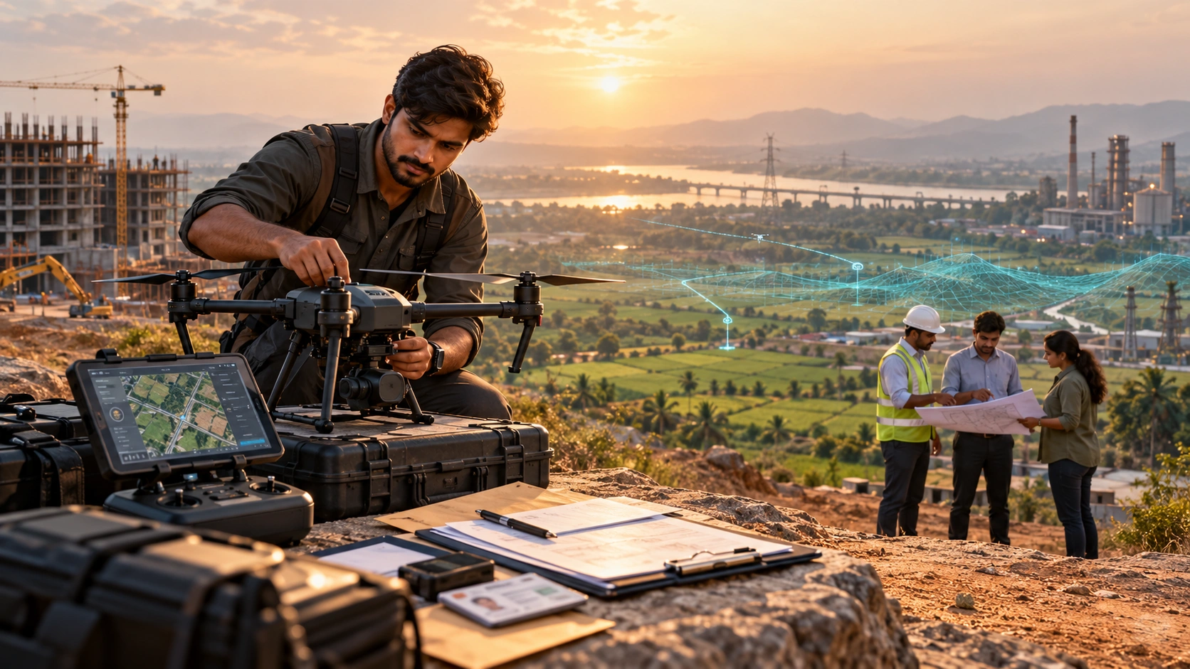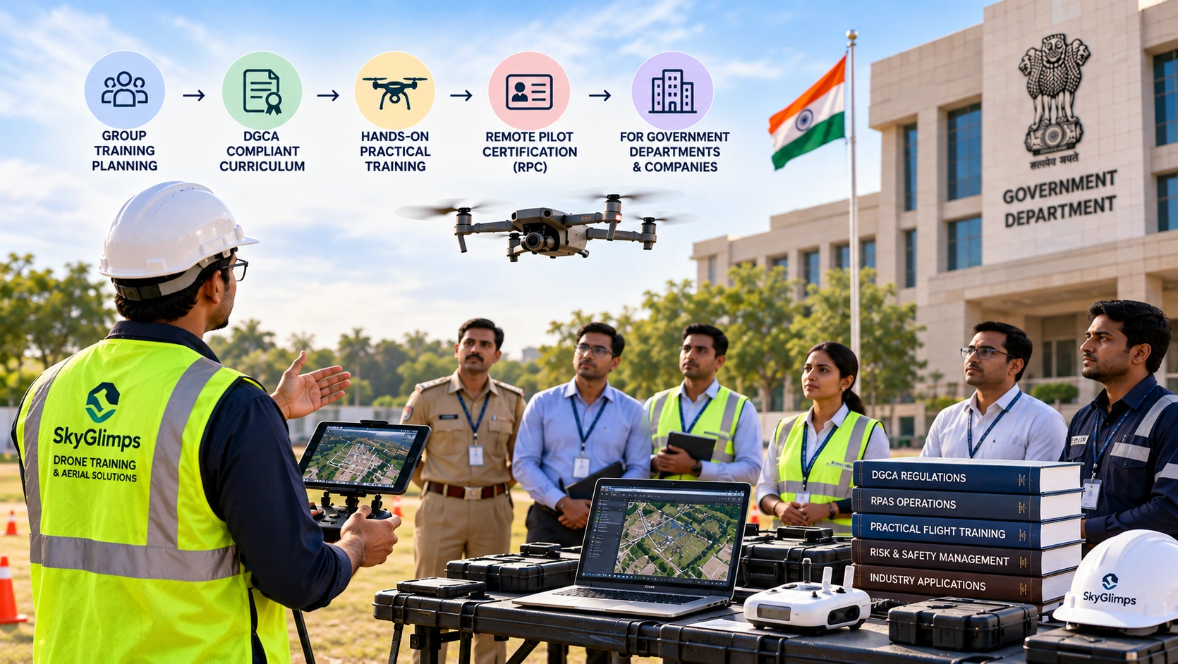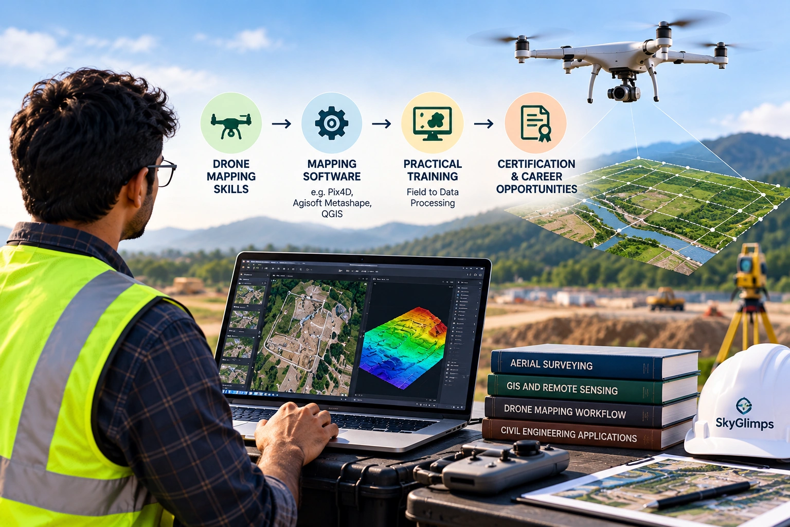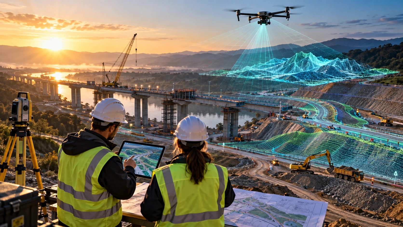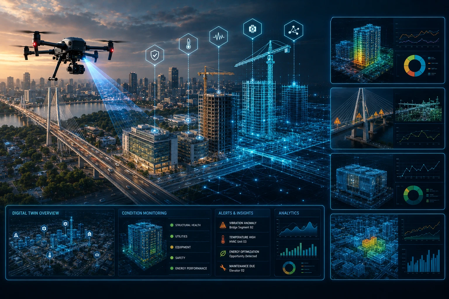
Digital twin infrastructure monitoring helps project owners, facility managers, government agencies, developers, and infrastructure teams track buildings and assets through a virtual, data-rich model of the physical site. Instead of depending only on manual reports, scattered photographs, or delayed site updates, a digital twin connects real-world data with a digital representation that can be reviewed, measured, compared, and updated over time.
For India’s construction, urban planning, utilities, industrial, and public infrastructure sectors, this approach is becoming more relevant. Buildings, roads, bridges, campuses, drainage networks, power assets, and civic infrastructure need continuous visibility during planning, construction, operation, and maintenance.
Drone surveys, LiDAR point clouds, GIS layers, RGB imagery, thermal inspection data, BIM models, and progress documentation can all support digital twin workflows when they are structured properly.
What is a digital twin in infrastructure monitoring?
A digital twin in infrastructure monitoring is a virtual representation of a physical building, site, or infrastructure asset that is updated with real-world data. It helps teams monitor asset condition, progress, risks, and changes through a digital environment.
A simple 3D model shows what an asset looks like. A digital twin goes further by connecting that model with data. This data may include drone imagery, LiDAR scans, GIS layers, BIM models, inspection records, maintenance logs, IoT sensor readings, project schedules, and asset information.
A digital twin can help answer questions such as:
- What has changed on-site since the last update?
- Which building section is delayed?
- Where is asset damage visible?
- Which infrastructure component needs inspection?
- Which road, drain, roof, tower, or structure requires maintenance?
- How does actual construction compare with planned work?
- Which areas are unsafe or difficult to access?
- What evidence supports a repair or project decision?
The purpose is not to create a visually impressive model only. The purpose is to create a working digital reference that helps teams make better decisions.
Why is digital twin infrastructure monitoring important?
Digital twin infrastructure monitoring is important because physical assets change continuously, and decision-makers need current information to manage them properly. Buildings age, roads deteriorate, drains get blocked, construction sites change, and utility assets develop maintenance issues.
Traditional monitoring often depends on field visits, manual updates, Excel sheets, progress photographs, and separate inspection reports. These are useful, but they can become fragmented. Different teams may hold different versions of the truth.
A digital twin helps create a more connected view by bringing data together into one spatial and visual framework.
It can support:
- Construction progress tracking
- Infrastructure maintenance planning
- Building condition monitoring
- Asset inventory management
- Site safety review
- Defect tracking
- Repair prioritisation
- Contractor progress verification
- Stakeholder reporting
- Digital handover records
For infrastructure owners, the main benefit is visibility. A digital twin helps them see the asset more clearly, compare changes over time, and plan action based on evidence.
How do drones support digital twin infrastructure monitoring?
Drones support digital twin infrastructure monitoring by capturing current aerial data of buildings, roads, sites, structures, utilities, and surrounding conditions. This data can update the digital twin with real-world visual and spatial information.
Drones can collect:
- Aerial images
- Drone videos
- Orthomosaic maps
- 3D models
- LiDAR point clouds
- Thermal inspection data
- RGB inspection images
- Progress documentation
- Location-tagged asset records
This is useful because infrastructure is often spread across large or difficult-to-access areas. A road corridor, industrial plant, real estate site, bridge zone, public facility, or utility network may be hard to monitor from the ground alone.
Drone data gives a current view of the physical condition. When captured repeatedly, it also shows how the asset changes over time.
For recurring visual records, Skyglimps Technologies LLP provides Documentation & Progress Tracking for organisations that need structured project documentation and stage-wise monitoring.
What role do LiDAR and GIS play in digital twins?
LiDAR and GIS are critical because they convert infrastructure into measurable 3D and location-based data. LiDAR captures detailed point clouds, while GIS organises spatial information into layers that teams can analyse and share.
LiDAR point clouds are useful when teams need accurate 3D information about terrain, buildings, roads, bridges, slopes, towers, vegetation, or asset geometry. GIS helps connect that data to maps, boundaries, asset IDs, inspection findings, maintenance records, and planning layers.
A digital twin workflow may use:
| Data layer | How it supports monitoring |
|---|---|
| LiDAR point cloud | Creates measurable 3D asset geometry |
| Orthomosaic map | Provides current top-down site view |
| GIS asset layer | Stores location and asset information |
| BIM model | Shows design or asset information |
| RGB imagery | Documents visible condition |
| Thermal imagery | Highlights abnormal heat patterns |
| Progress records | Shows changes across project stages |
| Inspection logs | Tracks defects and maintenance action |
| IoT sensor data | Adds live or periodic operational inputs |
For advanced 3D and GIS workflows, Skyglimps Technologies LLP provides 3D LiDAR & GIS Solutions for infrastructure, urban planning, water resources, utilities, and enterprise mapping projects.
How are digital twins used for building monitoring?
Digital twins are used for building monitoring by creating a digital record of the building’s structure, surroundings, progress, condition, and maintenance history. This helps owners and facility teams manage buildings more systematically.
For buildings, a digital twin can support:
- Construction progress tracking
- Roof and façade documentation
- MEP asset mapping
- Structural inspection records
- Facility maintenance planning
- Space and access review
- Fire-safety asset documentation
- Energy and utility monitoring
- Handover documentation
- Renovation planning
A building digital twin can be useful during both construction and operation. During construction, it helps compare progress against planned stages. During operation, it helps facility managers track assets, defects, maintenance schedules, and building changes.
For example, a commercial building owner may use drone imagery to document rooftop equipment, façade condition, and surrounding access areas. GIS layers can link each asset to a location. Inspection records can track what was checked and when.
This creates a stronger maintenance history than unorganised photographs and manual notes.
How are digital twins used for infrastructure monitoring?
Digital twins are used for infrastructure monitoring by connecting roads, bridges, utilities, drainage systems, towers, campuses, and public assets to digital records that can be reviewed over time. This helps infrastructure teams track condition, progress, and maintenance needs.
Digital twin workflows can support:
- Road corridor monitoring
- Bridge and flyover inspection records
- Drainage and flood-risk review
- Utility corridor mapping
- Public asset inventories
- Smart city infrastructure records
- Power asset documentation
- Industrial site monitoring
- Construction progress comparison
- Maintenance planning
Infrastructure assets are often large, distributed, and exposed to weather, traffic, water, vegetation, and public use. This makes repeat monitoring important.
A digital twin can help teams compare current and previous data. If a road section is damaged, an embankment is eroding, a drain is blocked, or a bridge approach is changing, the digital twin can help show the issue in context.
For government and enterprise teams, this supports better planning and more transparent reporting.
How do digital twins improve construction progress tracking?
Digital twins improve construction progress tracking by comparing planned work with current site data across different dates. This helps teams identify delays, completed work, pending zones, and site constraints.
Construction projects often involve many contractors, work packages, and reporting layers. A digital twin helps project teams review progress in a more visual and measurable way.
It can track:
- Excavation progress
- Foundation work
- Road and access development
- Structural progress
- Utility installation
- Drainage work
- Material movement
- Site clearance
- Workfront availability
- Safety barriers and restricted zones
- Completed and pending sections
Drone surveys can update the digital twin weekly, monthly, or at key milestones. This creates a dated project record that can be used in review meetings, client reporting, contractor coordination, and internal planning.
For large sites, this reduces dependence on selective ground photos. Decision-makers can review the whole site, not only the areas shown in a report.
How do digital twins support maintenance and asset management?
Digital twins support maintenance by linking assets, defects, inspections, and repair records to specific locations inside a digital model or GIS system. This helps maintenance teams prioritise action and keep better asset records.
Maintenance teams often face three practical questions:
- What asset needs attention?
- Where exactly is it located?
- What evidence supports the repair decision?
A digital twin helps answer these questions by combining visual data, location data, and maintenance notes.
It can support maintenance for:
| Asset type | Digital twin monitoring use |
| Buildings | Roof, façade, MEP, access, and defect records |
| Roads | Pavement, drainage, signage, and corridor condition |
| Bridges | Visual inspection records and approach conditions |
| Drainage | Blockages, waterlogging, slopes, and outfalls |
| Power assets | Towers, lines, thermal findings, and inspection history |
| Industrial sites | Equipment areas, access routes, and safety zones |
| Public assets | Poles, lights, trees, footpaths, and civic inventory |
The digital twin does not replace engineers or field teams. It helps them work with clearer records and better priority setting.
How do digital twins help with risk and safety monitoring?
Digital twins help with risk and safety monitoring by showing high-risk areas, difficult access zones, structural concerns, waterlogging, obstructions, and changing site conditions. This improves planning before people enter the site.
For construction and infrastructure teams, risk is often spatial. A slope, roof edge, blocked access route, excavation pit, unstable embankment, or damaged structure is risky because of where it is and how it affects movement.
Digital twins can help identify:
- Unsafe access paths
- Excavation edges
- Congested work areas
- Waterlogged zones
- Damaged slopes
- Obstructed emergency routes
- High-risk roof or façade areas
- Vegetation encroachment
- Poor visibility zones
- Areas needing barricading or review
Drone data is especially useful because it can capture risky or difficult-to-access areas from a safer distance. Safety teams can use this data to plan inspections, restrict access, and prioritise corrective action.
What deliverables support digital twin infrastructure monitoring?
Digital twin infrastructure monitoring can use deliverables such as orthomosaic maps, 3D models, LiDAR point clouds, GIS layers, inspection reports, progress dashboards, and asset inventories. The right deliverable depends on the project objective.
Common deliverables include:
| Deliverable | Best use |
| Orthomosaic map | Current top-down site view |
| Drone video | Stakeholder overview and progress communication |
| 3D model | Visual site understanding |
| LiDAR point cloud | Measurable 3D asset and terrain data |
| DEM / DSM | Elevation and surface analysis |
| GIS layers | Asset mapping and spatial decision-making |
| Inspection report | Defect and maintenance tracking |
| Progress report | Construction and milestone review |
| Asset inventory | Long-term facility or city asset management |
| Before-after comparison | Change detection and verification |
A digital twin should be built around the final use case. A construction team may need progress comparison. A facility team may need asset records. A city team may need GIS layers. A utility may need inspection findings and maintenance priority.
How should organisations start a digital twin monitoring project?
Organisations should start a digital twin monitoring project by defining the asset, objective, data sources, update frequency, deliverables, and decision-making workflow. A digital twin should solve a real operational problem.
Before starting, answer these questions:
- Which asset or site needs monitoring?
- Is the goal construction tracking, maintenance, inspection, or asset management?
- What data already exists?
- Is BIM data available?
- Are drone surveys required?
- Are LiDAR or GIS outputs needed?
- What inspection data should be linked?
- How often should the twin be updated?
- Who will use the final output?
- What file formats or dashboards are required?
- How will data be stored and governed?
- What decisions should the twin support?
A one-time 3D model is not always a digital twin. The real value comes when the digital record is updated, connected to project information, and used for decisions.
Why choose Skyglimps Technologies for digital twin-ready monitoring data?
Skyglimps Technologies LLP is a Kolkata-based drone services company and DGCA-certified Remote Pilot Training Organisation serving government and enterprise clients across Eastern India. The company supports drone-enabled workflows across mapping, LiDAR, GIS, inspections, surveillance, documentation, progress tracking, and training.
Skyglimps Technologies, a DGCA-certified RPTO in Kolkata, is positioned for organisations that need structured aerial data and site documentation for buildings, infrastructure, utilities, real estate, construction, and public-sector projects.
Digital twin infrastructure monitoring works best when the data is collected with the final decision in mind. Drone imagery, LiDAR scans, GIS layers, inspection records, and progress documentation must be organised so teams can use them, not just store them.
For organisations in Kolkata, West Bengal, and Eastern India, local coordination can help improve site scoping, repeat capture, field execution, reporting, and stakeholder communication.
FAQ: Digital Twin Infrastructure Monitoring
Digital twin infrastructure monitoring uses a virtual model of a physical asset, updated with real-world data, to track progress, condition, risks, maintenance, and site changes over time.
Drones capture aerial images, videos, LiDAR point clouds, thermal data, and inspection visuals that can update the digital twin with current site and asset information.
No. A 3D model shows geometry or visual form. A digital twin connects the model with data, updates, asset information, inspections, and decision-making workflows.
Buildings, roads, bridges, drainage systems, industrial sites, power assets, campuses, public infrastructure, construction sites, and smart city assets can be monitored.
Update frequency depends on the asset. Construction sites may need weekly or monthly updates, while operational infrastructure may need periodic or event-based updates.
Data may include drone imagery, LiDAR point clouds, GIS layers, BIM models, inspection reports, maintenance logs, IoT sensor readings, and progress documentation.
No. Digital twins support inspection and maintenance by improving visibility and records. Field verification, engineering review, and repair work are still required.
Build better infrastructure visibility with digital twins
Digital twin infrastructure monitoring helps organisations track buildings, assets, project progress, maintenance issues, risks, and site changes in a more connected way. It brings drone data, LiDAR, GIS, inspections, BIM, and documentation into a practical digital workflow.
For construction companies, facility managers, infrastructure owners, government agencies, and enterprise teams, digital twins can improve how physical assets are monitored across the project lifecycle.
If your organisation needs drone-based progress documentation, LiDAR point clouds, GIS-ready layers, inspection records, or digital twin-ready site data in Kolkata, West Bengal, or Eastern India, connect with Skyglimps Technologies LLP through the Documentation & Progress Tracking service page and share your asset type, project stage, monitoring objective, and required deliverables.