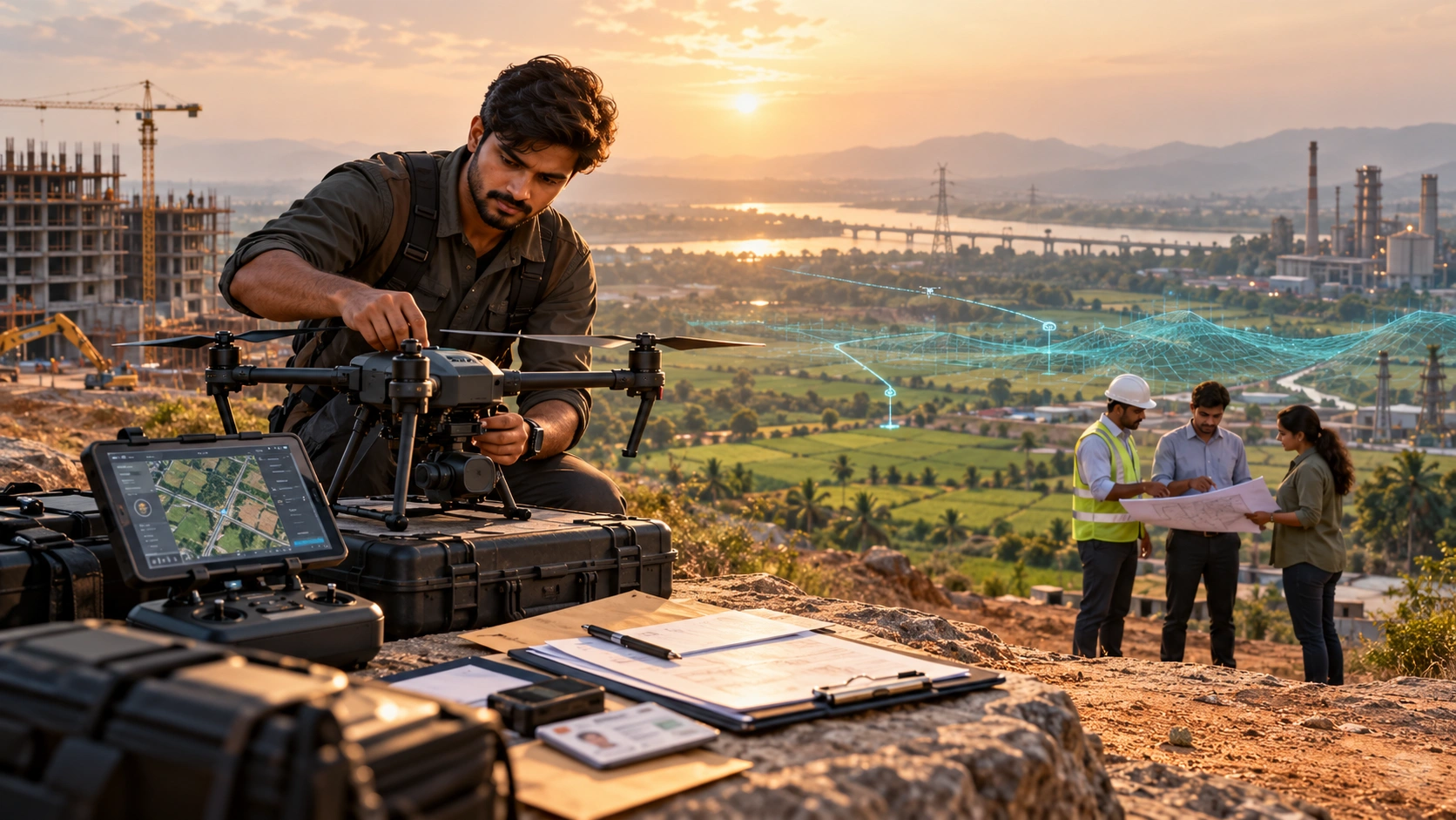
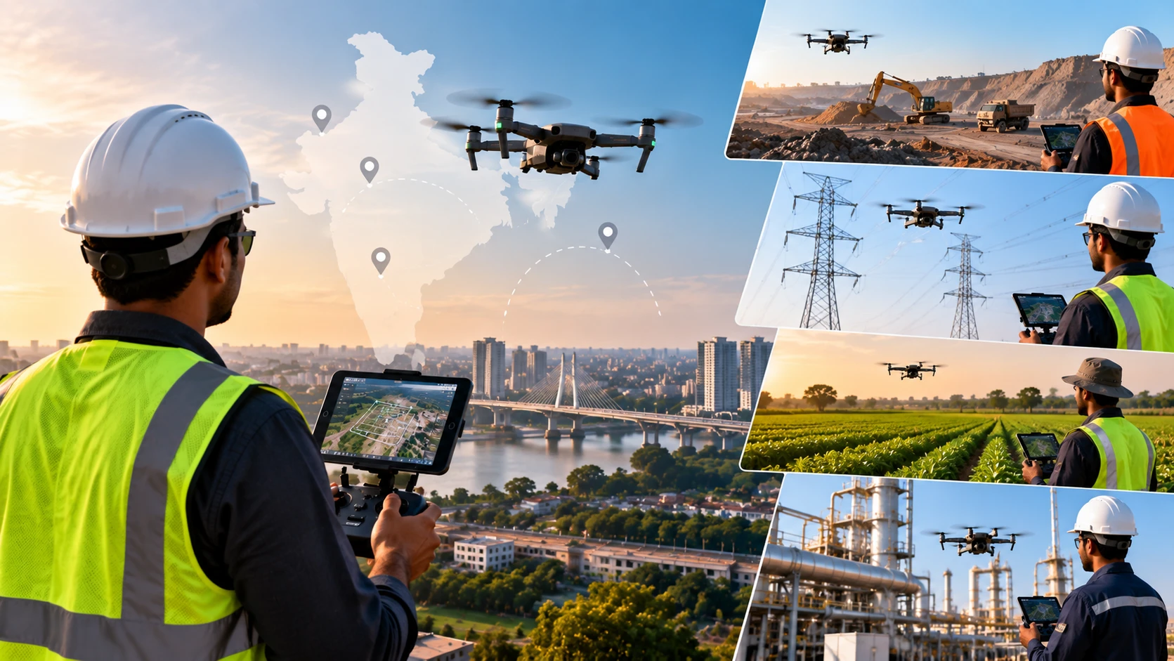
India’s drone industry is expanding across surveying, mapping, infrastructure, construction, agriculture, inspection, real estate, media, and several other sectors. As drone adoption grows, there is increasing demand for people who can safely operate drones and understand how to use aerial data for professional applications.
This has made drone pilot jobs in India an increasingly relevant career option for students, working professionals, and people looking to enter the drone industry.
However, getting a Remote Pilot Certificate is only the beginning.
A professional drone pilot may need additional skills depending on the industry they want to enter. Someone working in surveying may need knowledge of photogrammetry, mapping, GIS, and survey workflows, while an inspection pilot may need experience with thermal and RGB cameras.
The career opportunities are therefore broader than simply finding a job with the title “Drone Pilot.”
What Does a Drone Pilot Do?
A professional drone pilot is responsible for operating an unmanned aircraft safely and efficiently according to the requirements of a particular project.
Depending on the job, responsibilities can include:
- Preparing the drone before flight
- Conducting pre-flight checks
- Planning flight missions
- Operating the drone
- Monitoring flight conditions
- Managing batteries and equipment
- Capturing aerial images or video
- Operating specialised payloads
- Following safety procedures
- Recording flight information
- Supporting data collection
- Coordinating with surveyors, engineers, or project teams
- Performing post-flight equipment checks
The exact responsibilities depend heavily on the industry.
A drone pilot working on a construction site may collect progress imagery, while a survey drone pilot may capture data for mapping and measurement.
What Qualifications Do You Need for Drone Pilot Jobs in India?
A Remote Pilot Certificate can provide an important foundation for professional drone operations, but employers may also look for industry-specific technical skills and experience.
Depending on the position, employers may consider:
- Remote Pilot Certificate
- Drone flying experience
- Knowledge of drone regulations
- Mission planning skills
- Safety awareness
- Equipment handling
- Camera or payload experience
- Surveying knowledge
- GIS knowledge
- Photogrammetry knowledge
- Thermal imaging experience
- Data processing skills
- Communication skills
- Field experience
The required qualifications vary from one job to another.
For example, a company hiring a drone pilot for construction surveying may value knowledge of surveying and mapping much more than a candidate who only has basic recreational flying experience.
Where Can You Find Drone Pilot Jobs in India?
There is no single job category or website dedicated exclusively to drone pilots.
Professional opportunities can be found through several channels.
1. Job Portals
General employment platforms can be useful starting points.
Search for terms such as:
- Drone Pilot
- UAV Pilot
- UAS Pilot
- Drone Operator
- UAV Operator
- Drone Surveyor
- Drone Survey Pilot
- UAV Technician
- Drone Operations Executive
- Drone Mapping Specialist
- Remote Pilot
Searching for different job titles is important because companies may not use the exact term “drone pilot.”
2. LinkedIn
LinkedIn can be particularly useful for finding professional drone opportunities.
You can search for:
- Drone pilot jobs
- UAV pilot jobs
- Drone survey jobs
- Drone operator jobs
- Drone mapping jobs
- UAV jobs
- Drone inspection jobs
You can also follow companies involved in:
- Drone surveying
- GIS
- Infrastructure
- Construction
- Agriculture
- Inspection
- Defence and aerospace
- Geospatial technology
Building a professional LinkedIn profile can also make it easier for recruiters and companies to discover your skills.
3. Drone Companies
Many drone companies recruit pilots for their own operations.
These companies may provide services such as:
- Surveying
- Mapping
- Inspection
- Agriculture
- Photography
- Videography
- Surveillance
- Infrastructure monitoring
- LiDAR data collection
Instead of waiting for a job advertisement, you can identify companies working in your preferred sector and regularly check their career pages.
4. Surveying and Geospatial Companies
Surveying and geospatial companies are an important source of professional drone opportunities.
A drone pilot may work alongside:
- Surveyors
- GIS professionals
- Civil engineers
- Geologists
- Project managers
- Data processing teams
Typical responsibilities can include collecting aerial data for:
- Topographic surveys
- Orthomosaic generation
- Digital elevation models
- Contour mapping
- Volume calculations
- Construction surveys
- Land mapping
Candidates with both drone flying and geospatial knowledge can therefore have a broader range of opportunities.
5. Construction Companies
Construction projects increasingly use drones for aerial documentation, surveying, progress tracking, and site monitoring.
A drone pilot may be responsible for:
- Site photography
- Progress documentation
- Aerial mapping
- Stockpile measurement
- Construction monitoring
- Site inspection
- Project reporting
For these roles, understanding construction workflows can be an advantage.
6. Infrastructure Companies
Large infrastructure projects can require aerial data collection across roads, bridges, railways, power infrastructure, pipelines, and other assets.
Drone pilots may support project teams by collecting imagery and other aerial data for inspection, monitoring, and documentation.
These jobs can require field travel and the ability to work in different project environments.
7. Agriculture and Agri-Drone Companies
Agriculture is another important area for drone operations.
Companies working with agricultural drones may recruit pilots or drone operators for:
- Crop monitoring
- Agricultural surveys
- Field mapping
- Crop health assessment
- Spraying operations
- Farm data collection
The exact skills required depend on the type of agricultural drone and the company’s operations.
8. Inspection Companies
Drone inspections are used across several industries where accessing an asset manually can be difficult or time-consuming.
Drone pilots may support inspections of:
- Solar panels
- Power lines
- Electrical towers
- Industrial structures
- Buildings
- Bridges
- Roofs
- Infrastructure
Pilots working in this area may benefit from additional knowledge of thermal and RGB imaging.
9. Media and Production Companies
Drones are widely used for aerial photography and videography.
Opportunities can exist with:
- Production houses
- Advertising agencies
- Film teams
- Real estate media companies
- Event companies
- Wedding photography businesses
- Travel and tourism companies
For these positions, flying ability is only one part of the skill set.
Employers may also look for:
- Camera knowledge
- Composition
- Cinematic movements
- Video production
- Editing
- Storytelling
What Are the Most Common Drone Pilot Career Paths?
The drone industry is broad, so it is useful to choose a specific career direction rather than simply searching for “drone pilot jobs.”
Drone Survey Pilot
A drone survey pilot collects aerial data for surveying and mapping projects.
Skills that can help include:
- Drone operations
- Photogrammetry
- Survey fundamentals
- Ground control
- RTK/PPK
- Mapping software
- GIS
Drone Mapping Specialist
Mapping specialists work with aerial imagery and geospatial data.
They may be involved in:
- Orthomosaic mapping
- 3D models
- Digital elevation models
- Contour maps
- Point clouds
- GIS analysis
Drone Inspection Pilot
Inspection pilots capture detailed visual or thermal information from assets.
They may work with:
- RGB cameras
- Thermal cameras
- Industrial inspection workflows
- Asset documentation
- Defect identification
Construction Drone Pilot
Construction-focused pilots support project teams with:
- Site mapping
- Progress documentation
- Earthwork measurement
- Stockpile calculations
- Site monitoring
- Aerial imagery
Agricultural Drone Pilot
Agricultural pilots operate drones for farm-related applications such as field mapping, crop monitoring, or other authorised agricultural operations.
Aerial Photography and Videography Pilot
These professionals combine drone flying with photography and video production.
Their work can include:
- Real estate photography
- Weddings
- Advertising
- Films
- Tourism
- Corporate videos
Drone Operations Executive
Some organisations hire people who combine piloting with operational responsibilities.
These positions can involve:
- Mission planning
- Equipment management
- Pilot coordination
- Documentation
- Flight scheduling
- Data management
What Skills Should You Learn After Getting Your Drone Certification?
The most effective way to improve your career opportunities is to combine pilot certification with a specialised technical skill.
For example:
| Career Direction | Useful Additional Skills |
|---|---|
| Surveying | Surveying, photogrammetry, GIS |
| Mapping | Photogrammetry, GIS, mapping software |
| LiDAR | Point clouds, GIS, LiDAR processing |
| Inspection | Thermal imaging, RGB inspection |
| Construction | Surveying, progress tracking, volume calculations |
| Agriculture | Crop monitoring, agricultural drone operations |
| Cinematography | Camera operation, composition, video production |
| Real Estate | Aerial photography, video editing |
| Infrastructure | Inspection, mapping, documentation |
| Mining | Surveying, volumetric calculations, GIS |
This combination can make you more valuable than having flying skills alone.
Is a DGCA Certificate Enough to Get a Drone Pilot Job?
Not always. A Remote Pilot Certificate can establish an important qualification, but employers may expect additional skills depending on the role.
Consider two candidates.
Candidate A has a Remote Pilot Certificate and basic flying experience.
Candidate B has the same certification but also understands surveying, GIS, photogrammetry, mission planning, and drone data collection.
For a surveying company, Candidate B may have a broader skill set relevant to the job.
The same principle applies to inspection, construction, agriculture, cinematography, and other specialised fields.
Your certification gets you closer to the opportunity.
Your additional skills can help you qualify for the role.
How Can Freshers Find Drone Pilot Jobs in India?
Freshers can start by building practical experience and developing a focused skill set.
Build a Professional Resume
Your resume should clearly mention:
- Remote Pilot Certificate
- Drone category
- Training completed
- Flying experience
- Drone models operated
- Specialised skills
- Software knowledge
- Project experience
Avoid creating a resume that only says “Drone Pilot.”
Show what you can actually do.
Create a Drone Portfolio
A portfolio can be particularly useful for drone professionals.
Depending on your field, include examples of:
- Aerial photographs
- Orthomosaics
- 3D models
- Survey outputs
- Inspection imagery
- Thermal images
- Construction progress documentation
- Mapping projects
A portfolio can demonstrate practical ability even when you have limited professional experience.
Take Small Projects
Where legally and professionally appropriate, small projects can help you gain practical experience.
For example:
- Property documentation
- Construction progress photography
- Basic mapping projects
- Agricultural field documentation
- Event photography
Always operate according to applicable drone regulations, permissions, and safety requirements.
Network With Industry Professionals
Attend:
- Drone exhibitions
- Industry conferences
- Training programmes
- Geospatial events
- Construction technology events
- Agriculture technology events
Networking can help you discover opportunities that may not appear on mainstream job portals.
Can Drone Pilots Work as Freelancers?
Yes, some drone professionals work independently or provide services to businesses, subject to applicable regulations and project requirements.
Freelance opportunities can include:
- Aerial photography
- Real estate photography
- Construction documentation
- Survey data collection
- Mapping
- Agricultural services
- Inspection support
- Event coverage
However, freelance drone work involves more than flying.
You may also need to manage:
- Client requirements
- Pricing
- Project planning
- Equipment
- Insurance or contractual requirements where applicable
- Data handling
- Deliverables
- Invoicing
- Safety
- Regulatory compliance
For someone planning to build a drone business, understanding both operations and business management is important.
Are There Government Drone Pilot Jobs in India?
Government departments and public-sector organisations can have opportunities involving drones, but recruitment depends on the specific organisation, project, qualification requirements, and notification.
Potential areas can include:
- Land surveying
- Infrastructure
- Agriculture
- Disaster management
- Forest monitoring
- Urban planning
- Public works
- Geospatial projects
Candidates should check official recruitment notifications rather than assuming that a Remote Pilot Certificate alone guarantees eligibility for a government position.
Some positions may also require additional educational qualifications, technical experience, or other specific criteria.
How Much Can a Drone Pilot Earn in India?
Drone pilot salaries vary significantly depending on:
- Experience
- Location
- Industry
- Technical skills
- Type of drone
- Project complexity
- Travel requirements
- Employer
- Employment type
An entry-level pilot may start with basic field operations, while an experienced professional with specialised skills in surveying, GIS, inspection, LiDAR, or other technical areas may qualify for more advanced roles.
It is therefore better to focus on building valuable skills rather than choosing a career based only on a salary estimate.
As your technical capabilities increase, your potential career options can also expand.
What Industries Hire Drone Pilots in India?
Drone pilots can find opportunities across a wide range of industries.
Construction
Used for:
- Site surveys
- Progress tracking
- Documentation
- Earthwork monitoring
Infrastructure
Used for:
- Roads
- Bridges
- Railways
- Power infrastructure
- Pipelines
Surveying and Mapping
Used for:
- Topographic surveys
- Mapping
- 3D modelling
- GIS
- Volume calculations
Agriculture
Used for:
- Crop monitoring
- Field mapping
- Agricultural applications
Mining
Used for:
- Stockpile measurement
- Quarry mapping
- Volume calculations
- Site monitoring
Energy and Utilities
Used for:
- Power line inspection
- Electrical tower inspection
- Solar inspection
- Infrastructure monitoring
Real Estate
Used for:
- Property photography
- Site documentation
- Aerial video
- Development monitoring
Media and Entertainment
Used for:
- Films
- Advertising
- Events
- Tourism
- Commercial video
This range of applications means that aspiring pilots should think about which industry they want to work in, not just which drone they want to fly.
What Should You Put on a Drone Pilot Resume?
A strong drone pilot resume should clearly communicate both your flying ability and your industry skills.
Include:
Certification
Mention your applicable Remote Pilot Certificate and relevant category.
Drone Experience
List the types of drones you have experience operating.
Technical Skills
Examples include:
- Mission planning
- Photogrammetry
- GIS
- Mapping
- Thermal imaging
- RGB inspection
- LiDAR
- Data collection
- 3D modelling
Only list skills you can genuinely demonstrate.
Project Experience
Describe the projects you have worked on and your responsibilities.
For example:
Construction Site Mapping:
Collected aerial imagery for site documentation and mapping.
Survey Project:
Conducted planned drone flights for aerial data collection.
Software Skills
If relevant to the role, include software you actually know how to use for:
- Photogrammetry
- GIS
- CAD
- Mapping
- Data processing
- Video editing
A specialised resume is generally more useful than a generic one.
How Can You Stand Out in the Drone Job Market?
Getting certified is only the beginning.
To become more competitive, consider building expertise in one or two high-value areas.
For example:
Drone Pilot + Surveying
or
Drone Pilot + GIS
or
Drone Pilot + Thermal Inspection
or
Drone Pilot + Construction
or
Drone Pilot + LiDAR
This approach gives employers a clearer understanding of what you can contribute to their projects.
Instead of presenting yourself simply as someone who can fly a drone, position yourself as someone who can use drones to solve a specific business or technical problem.
Should You Learn Drone Surveying After Pilot Training?
Drone surveying can be a valuable specialisation for pilots interested in construction, infrastructure, mining, land development, and geospatial projects.
Surveying workflows can involve:
- Mission planning
- Ground control
- RTK/PPK
- Photogrammetry
- Orthomosaic generation
- Point clouds
- Digital elevation models
- Contour mapping
- Volume calculations
- GIS
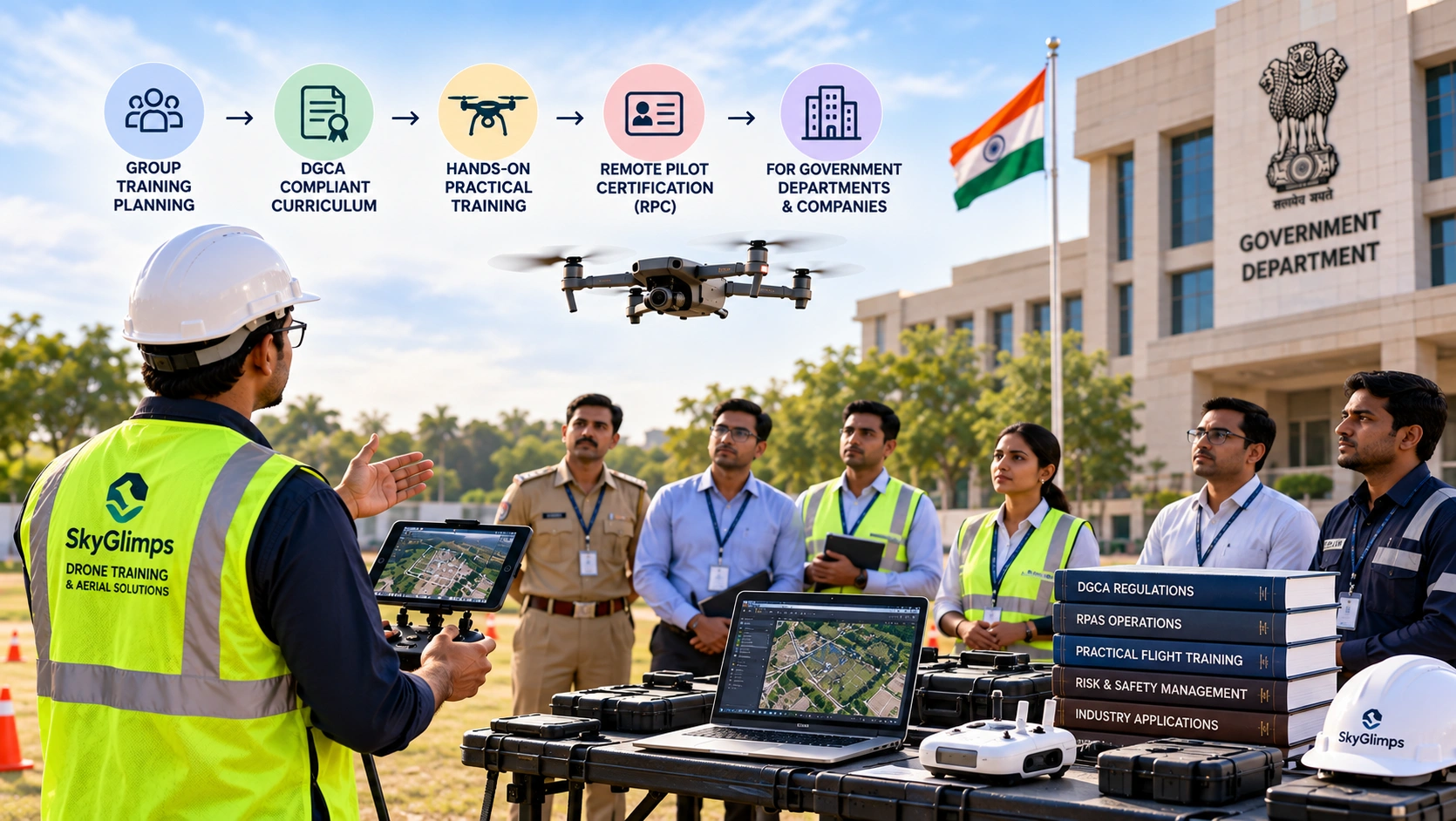
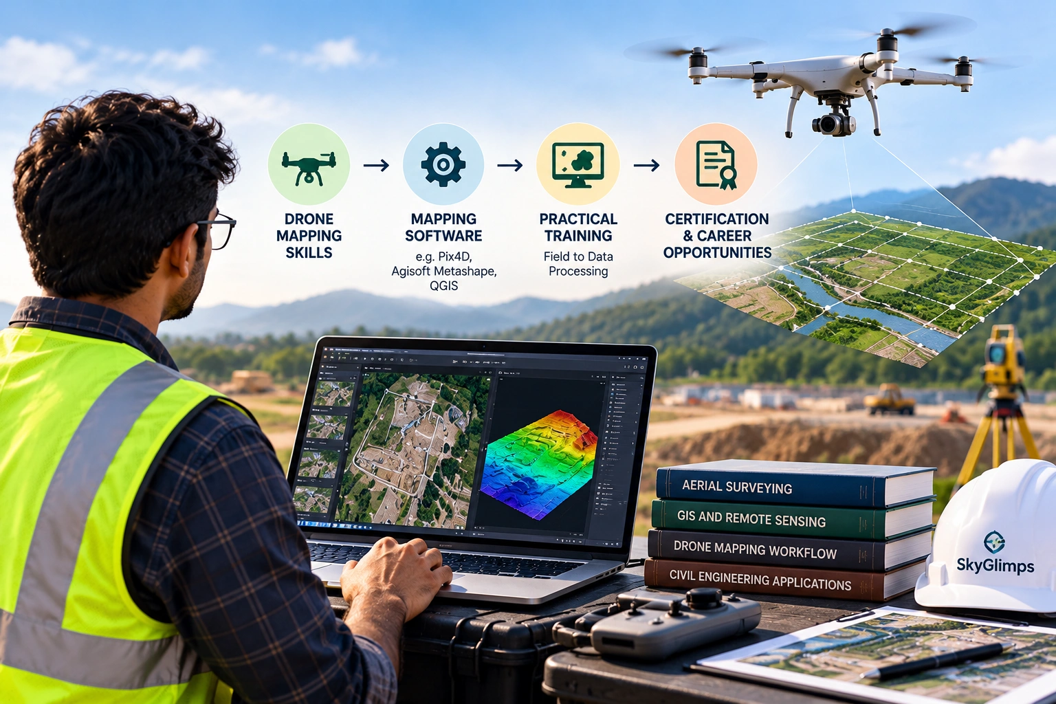
Skyglimps provides DGCA-certified drone training as well as specialised drone mapping and surveying training for candidates interested in developing professional drone skills.
Combining pilot training with surveying knowledge can open opportunities beyond basic drone operation.
Where Should You Start Looking for Drone Pilot Jobs?
A practical job-search strategy is to use several channels simultaneously.
Step 1: Choose Your Industry
Decide whether you want to work in:
- Surveying
- Construction
- Inspection
- Agriculture
- Infrastructure
- Mining
- Real estate
- Media
- GIS
- Drone operations
Step 2: Build Relevant Skills
Learn the technical skills commonly required in your chosen field.
Step 3: Create Your Resume
Highlight certification, flying experience, technical skills, and projects.
Step 4: Build a Portfolio
Show actual examples of your work wherever possible.
Step 5: Search Multiple Job Titles
Do not search only for “Drone Pilot.”
Also search:
- UAV Pilot
- UAV Operator
- Drone Operator
- Drone Surveyor
- UAV Technician
- Drone Mapping Specialist
- Drone Operations Executive
- Remote Pilot
- Drone Inspection Pilot
Step 6: Contact Relevant Companies
Identify drone service providers and companies using drones in your target industry.
Step 7: Continue Learning
The drone industry is evolving quickly, so keep developing technical and operational skills.
Frequently Asked Questions
You can search job portals, LinkedIn, company career pages, drone companies, surveying companies, construction firms, infrastructure companies, inspection companies, and other organisations that use drones.
Potential roles include drone pilot, UAV pilot, drone operator, survey drone pilot, mapping specialist, inspection pilot, agricultural drone operator, construction drone operator, and aerial photography pilot.
It can be an important qualification, but many employers also look for practical flying experience and industry-specific skills such as surveying, GIS, photogrammetry, inspection, thermal imaging, or photography.
Yes. Freshers can pursue entry-level opportunities by building practical flying experience, developing specialised skills, creating a portfolio, and applying to companies involved in drone operations.
Drone pilots can find opportunities in surveying, construction, infrastructure, agriculture, mining, energy, utilities, inspection, real estate, media, and other industries.
Yes. Some pilots work independently on aerial photography, mapping, construction documentation, inspection support, and other projects, subject to applicable regulations and client requirements.
Useful skills depend on the career path. Surveying pilots can learn GIS and photogrammetry, inspection pilots can learn thermal imaging, and media pilots can develop aerial cinematography and video production skills.
Government and public-sector projects can involve drone operations, but eligibility and recruitment depend on individual notifications and organisations. Candidates should check official recruitment announcements for specific requirements.
Yes. Specialising in areas such as surveying, mapping, GIS, inspection, LiDAR, construction, agriculture, or cinematography can help differentiate you from candidates with only basic drone-flying skills.
Yes. Drone surveying is used across construction, infrastructure, mining, land development, and geospatial projects. Combining drone flying with surveying, mapping, photogrammetry, and GIS skills can create additional career opportunities.
Build Skills, Not Just Certification
Getting certified as a drone pilot can be an important first step, but the professional drone industry extends far beyond simply flying an aircraft.
The best career opportunities often come from combining drone pilot skills with industry-specific knowledge.
If you are interested in surveying, learn mapping and GIS. If you want to work in inspections, learn thermal and RGB imaging. If construction interests you, understand site documentation and progress tracking. If you want to work in media, develop aerial cinematography and video skills.
When searching for drone pilot jobs in India, look beyond the job title “Drone Pilot.” Search for UAV pilot, drone operator, survey pilot, mapping specialist, inspection pilot, and drone operations roles as well.
Most importantly, build a portfolio that demonstrates what you can actually do.
A Remote Pilot Certificate can help establish your foundation, but practical experience, specialised skills, and the ability to deliver useful project outcomes can help turn drone training into a long-term career.
For those looking to begin their professional drone journey, explore Skyglimps’ DGCA-Certified Drone Training and develop the foundation needed to pursue opportunities across India’s growing drone industry.