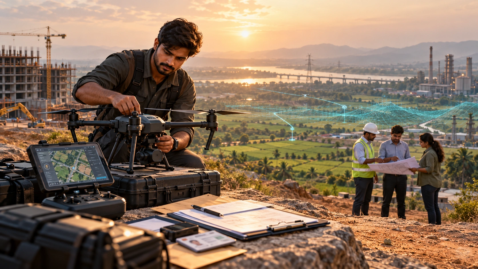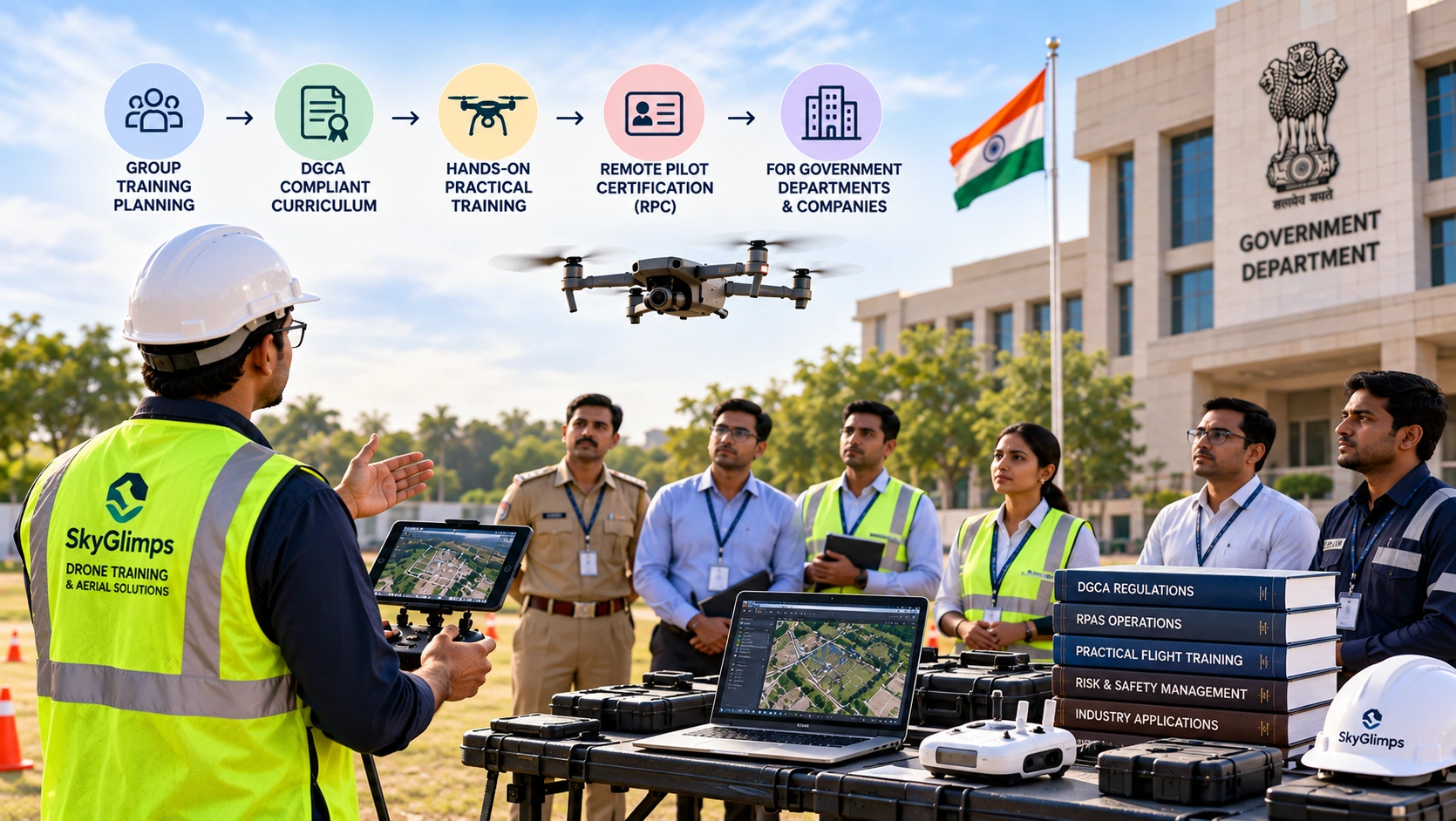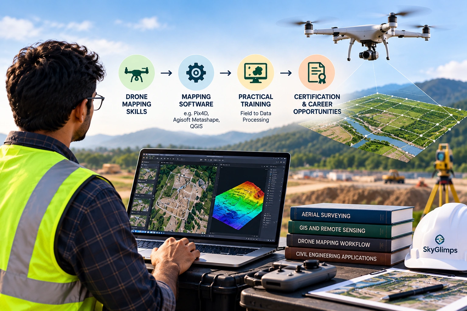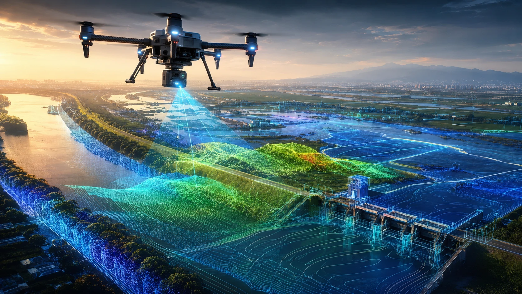
Drone embankment flood mapping helps water resource teams inspect embankments, floodplains, riverbanks, canals, drainage paths, erosion zones, and flood-prone settlements with faster and safer aerial data. Instead of relying only on ground visits, drones provide high-resolution visual and spatial information that can support planning, maintenance, and disaster preparedness.
For India, this matters because embankments and flood-control structures are critical assets. They protect villages, farms, roads, industrial areas, and infrastructure from seasonal flooding. In West Bengal and Eastern India, where rivers, canals, monsoon rainfall, low-lying areas, and embankment systems create complex water-risk conditions, drone mapping can help teams understand problems before they become emergencies.
This guide explains the top five benefits of using drones for embankment and flood zone mapping.
What is drone embankment flood mapping?
Drone embankment flood mapping is the use of drones to capture aerial images, maps, elevation data, and site documentation for embankments and flood-prone areas. It helps teams identify weak sections, erosion, waterlogging, breaches, encroachment, vegetation growth, drainage issues, and nearby risk zones.
A drone survey can be planned before the monsoon, after heavy rainfall, during flood-risk assessments, or after an extreme weather event. The drone captures aerial data from above, and the data can be processed into maps, models, reports, or GIS-ready layers.
Common outputs include:
- High-resolution aerial images
- Orthomosaic maps
- Riverbank and embankment condition visuals
- Floodplain mapping
- Drainage pattern documentation
- Erosion and breach-risk visual records
- Digital elevation models
- Contour maps
- 3D terrain models
- GIS-ready files
- Before-after comparison reports
Skyglimps Technologies LLP provides drone-enabled solutions for irrigation and water resources projects where aerial mapping and spatial documentation can support planning, monitoring, and maintenance.
Benefit 1: How do drones improve embankment inspection speed?
Drones improve embankment inspection speed by covering long riverbanks, canals, flood barriers, and low-lying areas much faster than manual ground inspection. A drone can capture wide-area visual data from above, helping teams identify visible issues without walking every metre of the site.
Manual embankment inspection is often slow because teams must physically travel along long stretches of land. Access may be blocked by vegetation, waterlogging, mud, settlements, temporary structures, or damaged pathways. During monsoon or post-flood periods, some sections may become unsafe or unreachable.
Drone mapping helps field teams review:
- Long embankment stretches
- River-facing slopes
- Land-facing slopes
- Crown roads or top sections
- Breach-prone areas
- Waterlogging pockets
- Canal banks
- Drainage outlets
- Nearby settlements and access routes
This is especially useful when a department or contractor needs a quick condition overview before deciding where to send repair teams. The drone data does not remove the need for engineering inspection, but it helps teams prioritise where ground verification is required.
For recurring monitoring, drones can also capture the same location at different times. This creates a visual record of how the embankment condition changes before monsoon, after rainfall, or after maintenance work.
Benefit 2: How do drones help detect erosion, breaches, and weak points?
Drones help detect erosion, breaches, and weak points by showing embankment surfaces, slope changes, cracks, washouts, scouring, vegetation gaps, and water movement patterns from an aerial perspective. This makes it easier to identify areas that need closer engineering review.
Flood protection structures often weaken gradually. Small erosion patches, toe cutting, slope instability, animal burrows, seepage signs, informal cuts, or drainage blockages can become serious problems if ignored.
Drone mapping can help identify visible signs such as:
| Visible issue | Why it matters |
|---|---|
| Erosion patches | May indicate slope weakening or water action |
| Scouring near the toe | Can reduce embankment stability |
| Surface cracks | May indicate settlement or stress |
| Breach marks | Shows past or active failure points |
| Vegetation loss | May indicate surface disturbance |
| Waterlogging | Can weaken soil and access routes |
| Encroachment | Can affect maintenance and flood response |
| Blocked outlets | Can increase local flooding risk |
| Cut sections | May create uncontrolled water flow paths |
Drones are particularly useful because they show both the embankment and its surroundings. A ground inspection may show one damaged section, while an aerial map shows how that section connects to nearby drains, floodplain areas, roads, settlements, and water channels.
For complex terrain and elevation-focused work, projects may also need 3D LiDAR & GIS Solutions to create stronger 3D spatial datasets for planning and analysis.
Benefit 3: How does drone mapping improve flood zone planning?
Drone mapping improves flood zone planning by giving teams current visual and spatial data on land elevation, drainage paths, riverbank conditions, floodplain use, and nearby infrastructure. This helps planners understand which areas are exposed and how water may move during flood events.
Flood zone planning requires more than knowing where a river is located. Teams need to understand terrain, slope, settlements, roads, embankments, water channels, culverts, and low-lying areas. Drone data can support this by creating updated maps that show real site conditions.
Drone flood zone mapping can help teams review:
- Low-lying land
- Existing embankment alignment
- Water accumulation zones
- Drainage channels
- Riverbank erosion
- Settlement proximity
- Road and bridge access
- Agricultural field exposure
- Emergency access routes
- Land-use changes
In flood-prone areas, outdated maps can create planning gaps. A road may be newly built, a canal may be blocked, vegetation may have expanded, or informal construction may have changed the flow of water. Drone surveys help update the ground reality.
For government departments, contractors, and infrastructure planners, this data can support preventive planning, maintenance prioritisation, pre-monsoon checks, and post-flood damage documentation.
Benefit 4: How do drones improve safety during flood and embankment inspections?
Drones improve safety by reducing the need for field teams to physically enter unstable, waterlogged, slippery, eroded, or hard-to-access areas during initial inspection. The drone can capture visual data from above while keeping people at a safer distance.
Embankment and flood zone inspections can expose teams to several risks:
- Slippery slopes
- Soft or unstable soil
- Deep water
- Fast-moving water
- Damaged access roads
- Hidden pits or washouts
- Snake or wildlife risk
- Heavy vegetation
- Electrified or damaged infrastructure nearby
- Unsafe post-flood structures
Drones allow teams to inspect risky areas before deciding where personnel should go. This is helpful after heavy rainfall, river overflow, embankment damage, or suspected breach events.
Safety is also important for emergency response planning. Aerial data can show which access routes are usable, which areas are waterlogged, where temporary cuts or breaches exist, and where repair teams may need support.
Drone inspection does not replace trained engineers, disaster response teams, or maintenance crews. It gives them better visibility so they can plan field movement more safely.
Benefit 5: How do drone maps improve documentation and maintenance decisions?
Drone maps improve documentation by creating dated visual records that can be compared across seasons, maintenance cycles, and flood events. This helps departments and project teams track changes, plan repairs, verify work, and maintain better evidence of site conditions.
Flood and embankment management often requires repeated review. A site may be inspected before monsoon, after rainfall, after repair work, and again before the next season. Drone mapping makes this comparison easier because the same area can be captured and reviewed consistently.
Drone documentation can support:
- Pre-monsoon inspection records
- Post-flood damage assessment
- Repair planning
- Contractor work verification
- Maintenance prioritisation
- Before-after comparison
- Budget justification
- Stakeholder reporting
- Emergency response planning
- Long-term asset history
For example, if an erosion patch is seen in May and expands after monsoon, drone records can help show the change clearly. If a repair contractor strengthens a section, post-work drone imagery can support verification and reporting.
For recurring site records, teams can also use documentation and progress tracking to monitor work stages, repairs, and maintenance activity over time.
What drone deliverables are useful for embankment and flood mapping?
Useful drone deliverables for embankment and flood mapping include orthomosaic maps, elevation models, contour maps, 3D models, erosion reports, and GIS-ready layers. The right deliverable depends on whether the goal is inspection, planning, engineering review, or documentation.
A practical deliverables table looks like this:
| Deliverable | Best use |
| Aerial images | Quick visual inspection and field reference |
| Orthomosaic map | Accurate top-down map of the area |
| Contour map | Elevation and slope understanding |
| Digital Elevation Model | Terrain and floodplain analysis |
| 3D model | Visual review of embankment and surrounding land |
| GIS layers | Planning, asset mapping, and department workflows |
| Erosion report | Maintenance prioritisation |
| Before-after comparison | Repair verification and flood damage assessment |
| Video flythrough | Stakeholder communication and site overview |
Not every project needs every output. A quick post-flood inspection may need aerial images and video. A flood zone planning project may need orthomosaics, DEMs, contours, and GIS layers. An engineering review may need ground control and a more detailed survey workflow.
Before starting a drone survey, the project team should clearly define the final use of the data.
How can drone flood mapping support irrigation and water resource teams?
Drone flood mapping supports irrigation and water resource teams by improving visibility across embankments, canals, drainage networks, riverbanks, command areas, and flood-prone land. It helps technical teams plan maintenance with current site information.
Irrigation and water resource projects often cover large areas. A canal network, embankment stretch, or drainage system may pass through agriculture land, settlements, roads, bridges, and low-lying zones. Drone data helps teams see these connections from above.
Drone mapping can support:
- Canal bank inspection
- Embankment alignment review
- Riverbank erosion monitoring
- Drainage blockage documentation
- Floodplain condition mapping
- Waterlogging assessment
- Maintenance planning
- Repair verification
- Emergency response support
- GIS-based asset records
In Eastern India, river systems, seasonal rainfall, coastal influences, and low-lying land can create complex water-management conditions. Drone data gives planners and field teams a clearer view of local site realities.
Skyglimps Technologies, a DGCA-certified RPTO in Kolkata, supports drone-enabled workflows for mapping, inspections, documentation, and water-resource-related project visibility across Eastern India.
How should organisations plan a drone embankment flood mapping project?
Organisations should plan a drone embankment flood mapping project by defining the inspection objective, site boundary, deliverables, safety conditions, access points, and reporting format before the flight. A clear scope leads to more useful data.
Before starting, answer these questions:
- Which embankment or flood zone needs mapping?
- What is the inspection objective?
- Is the survey pre-monsoon, post-flood, or routine?
- What deliverables are needed?
- Is elevation data required?
- Are GIS files needed?
- Are ground control points required?
- Who will use the final data?
- Are there access or safety restrictions?
- Is the site near controlled airspace?
- What reporting format is required?
- Is repeat monitoring needed?
A well-planned project avoids unclear outputs. If the goal is emergency overview, the workflow should prioritise fast visual data. If the goal is engineering planning, the workflow should include stronger survey controls and technical deliverables.
FAQ: Drone Embankment Flood Mapping
Drone embankment flood mapping uses drones to capture aerial data of embankments, riverbanks, floodplains, canals, and flood-prone areas. The data supports inspection, planning, maintenance, and documentation.
Drones capture aerial images and maps of embankment surfaces, slopes, erosion patches, waterlogging, cracks, breach-prone zones, vegetation growth, and nearby access conditions
Yes. Drones can document visible flood damage such as erosion, breaches, scouring, washed-out sections, blocked drains, damaged access roads, and waterlogged areas.
Yes. Pre-monsoon drone surveys help teams inspect embankments, identify weak points, document drainage issues, and plan preventive maintenance before heavy rainfall.
Deliverables may include aerial images, orthomosaic maps, videos, contour maps, digital elevation models, 3D models, GIS layers, and before-after comparison reports.
No. Drones support inspection by providing aerial data and visual evidence. Engineers still need to verify structural issues, design repairs, and approve technical decisions.
Water resource departments, irrigation teams, disaster management authorities, infrastructure agencies, contractors, local bodies, and enterprise teams can use drone flood mapping.
Use drone data to manage flood risk more effectively
Drone embankment flood mapping gives water resource teams a faster, safer, and more visual way to understand flood-prone areas. It helps inspect embankments, identify erosion, review drainage patterns, document damage, and plan maintenance with better site visibility.
For irrigation departments, contractors, infrastructure teams, disaster response planners, and local authorities, drone data can improve how embankments and flood zones are monitored before, during, and after flood-risk periods.
If your organisation needs embankment inspection, flood zone mapping, riverbank documentation, canal monitoring, or water resource project visibility in Kolkata, West Bengal, or Eastern India, connect with Skyglimps Technologies LLP through the Irrigation & Water Resources industry page and share your site location, survey objective, and required deliverables.