

LiDAR Corridor Mapping Transmission: How Drone LiDAR Supports Power-Line Projects
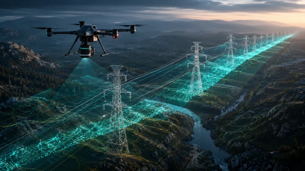
LiDAR corridor mapping transmission surveys help power utilities, infrastructure companies, EPC contractors, and asset managers create detailed 3D records of transmission-line corridors. By using drone-mounted LiDAR sensors, teams can capture conductors, towers, terrain, vegetation, access routes, and right-of-way conditions in a measurable point cloud. Transmission lines are long, elevated, and often pass through fields, forests, […]
Orthomosaic Maps Drone: How Drones Create High-Resolution Survey Images
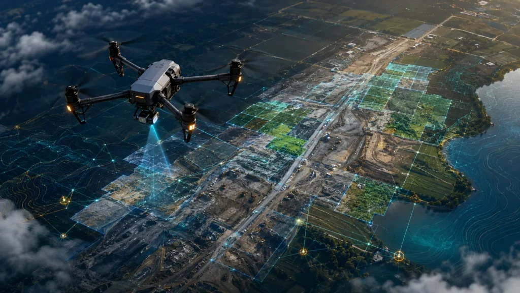
Orthomosaic maps drone surveys help project teams create high-resolution, corrected, top-down images of a site using many overlapping drone photographs. Unlike a normal aerial photo, an orthomosaic map is processed so that it can be used for mapping, measurement, documentation, planning, progress tracking, and visual reporting. For construction, mining, roads, irrigation, real estate, urban planning, […]
Drone Canal Waterway Mapping: Methods and Applications for Water Resource Projects
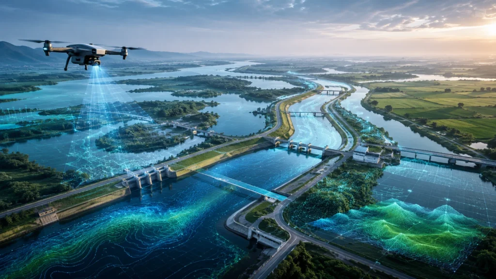
Drone canal waterway mapping helps irrigation departments, water resource teams, contractors, consultants, and infrastructure planners understand canals, waterways, drainage channels, embankments, and surrounding land with better visual and spatial clarity. Instead of depending only on ground visits or outdated maps, drones can capture current aerial data that supports planning, inspection, maintenance, and reporting. Canals and […]
Drone Survey Deliverables: What to Expect in Your Final Report
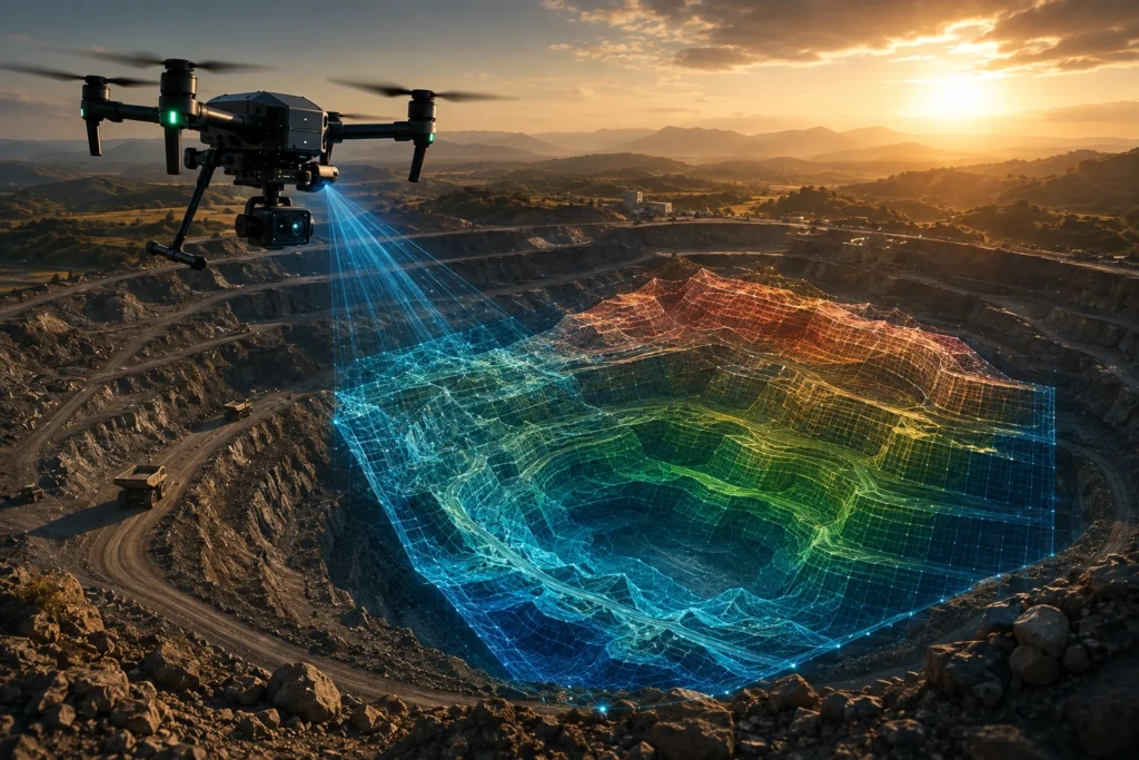
Drone survey deliverables are the final outputs a client receives after a professional drone mapping or inspection project. These may include aerial images, orthomosaic maps, contour maps, digital elevation models, 3D point clouds, GIS files, CAD-ready exports, inspection findings, and a structured final report. For businesses, government agencies, contractors, developers, mining teams, irrigation departments, and […]
Digital Elevation Model Drone: How DEMs Are Created Using Drones
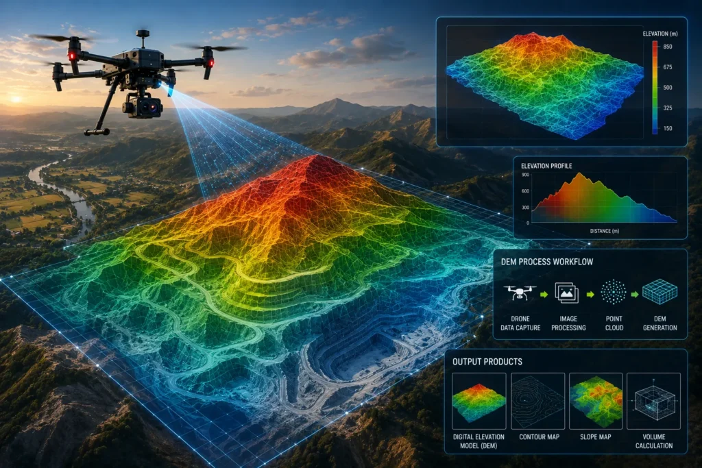
A digital elevation model drone survey helps project teams understand the shape, height, slope, and terrain condition of a site using aerial mapping data. Instead of relying only on manual ground measurements, drones can capture high-resolution images or LiDAR data that can be processed into elevation models, contour maps, terrain surfaces, and GIS-ready outputs. For […]
Drone Inspection Power Distribution: How Drones Reduce Downtime for DISCOMs

Drone inspection power distribution workflows help DISCOMs, utility teams, industrial power operators, and infrastructure companies inspect electrical assets faster, safer, and with better visual evidence. By using drones with thermal and RGB cameras, power distribution companies can identify hotspots, damaged components, vegetation risks, loose fittings, insulator issues, and corridor problems before they lead to longer […]
Drone Survey Mining Volume Calculation: Methods for Mines and Quarries
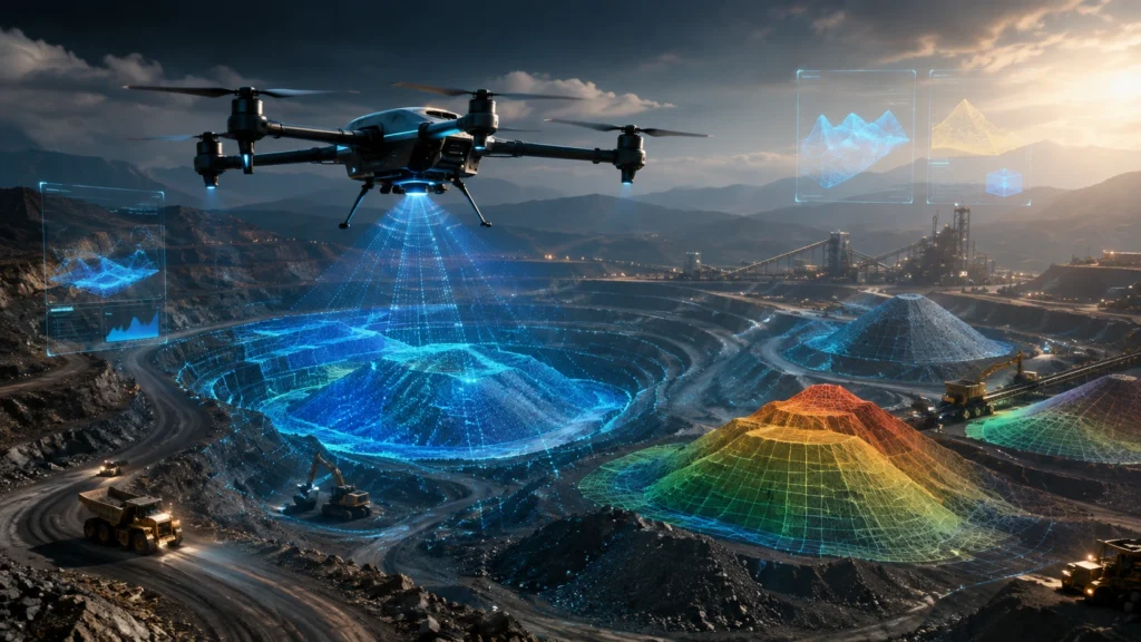
Drone survey mining volume calculation helps mining companies, quarry operators, contractors, and project owners measure stockpiles, excavation areas, overburden, cut-fill quantities, and site changes with faster aerial data. Instead of relying only on manual ground measurements, drone surveys can create maps, 3D models, digital surface models, and point clouds that support more structured volume reporting. […]
Digital Twin Infrastructure Monitoring: How Buildings and Assets Are Tracked
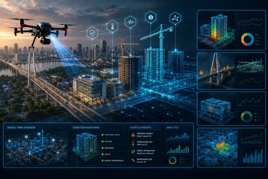
Digital twin infrastructure monitoring helps project owners, facility managers, government agencies, developers, and infrastructure teams track buildings and assets through a virtual, data-rich model of the physical site. Instead of depending only on manual reports, scattered photographs, or delayed site updates, a digital twin connects real-world data with a digital representation that can be reviewed, […]
Drone Geospatial Smart City Data: Use Cases for Indian Urban Projects
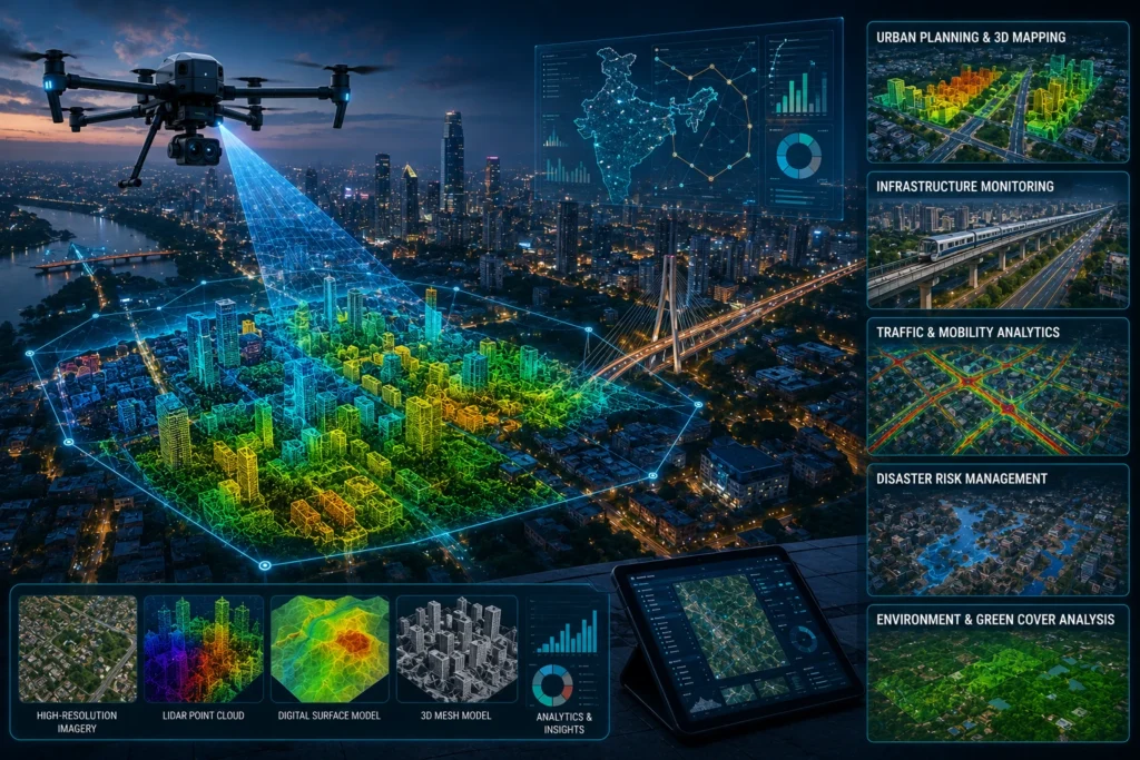
Drone geospatial smart city data is changing how Indian cities plan, monitor, and manage urban infrastructure. By combining drone imagery, LiDAR point clouds, orthomosaic maps, 3D models, GIS layers, and location-tagged inspection records, city teams can understand roads, buildings, utilities, drains, trees, flood-prone areas, and public assets with better spatial clarity. Smart city projects need […]
Drone Thermal Inspection Process: What Happens During a Power Line Inspection?
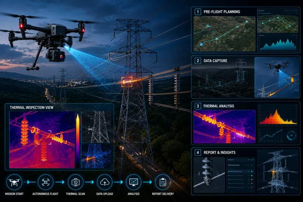
The drone thermal inspection process helps power utilities, infrastructure companies, industrial operators, and maintenance teams inspect power lines with better speed, safety, and visual evidence. By using drone-mounted thermal and RGB cameras, inspection teams can identify abnormal heat patterns, visible defects, damaged components, loose connections, and maintenance-priority areas across transmission and distribution assets. Power lines […]