
GCP vs RTK vs PPK Drone Survey: Which Method Should You Use?
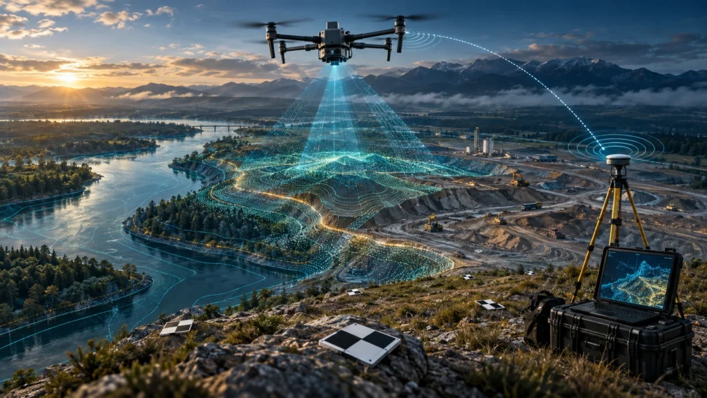
A GCP vs RTK vs PPK drone survey comparison helps project teams choose the right accuracy workflow before starting a drone mapping project. Ground Control Points, Real-Time Kinematic positioning, and Post-Processed Kinematic positioning are all used to improve the quality and reliability of drone survey outputs, but they are not the same. For land mapping, […]
Types of Drones Explained: Multirotor, Fixed-Wing, Hybrid VTOL & Their Uses
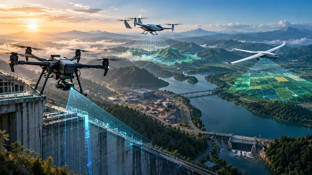
Understanding the types of drones is important for anyone planning to enter drone training, surveying, mapping, inspection, agriculture, cinematography, or industrial drone work. Not every drone is designed for the same job. A small multirotor drone may be ideal for close inspection, while a fixed-wing drone may be better for large-area mapping. A hybrid VTOL […]
Drone Training After 12th: Is a Career in Drone Piloting a Good Choice?

Drone training after 12th can be a practical career option for students who are interested in technology, aviation, surveying, mapping, agriculture, inspections, infrastructure, or creative aerial work. Drones are now used far beyond photography. They support real projects in construction, mining, land surveys, power utilities, agriculture, disaster assessment, and public infrastructure. For students, the biggest […]
FPV Drone Training Inspection: How Pilots Prepare for Industrial Work
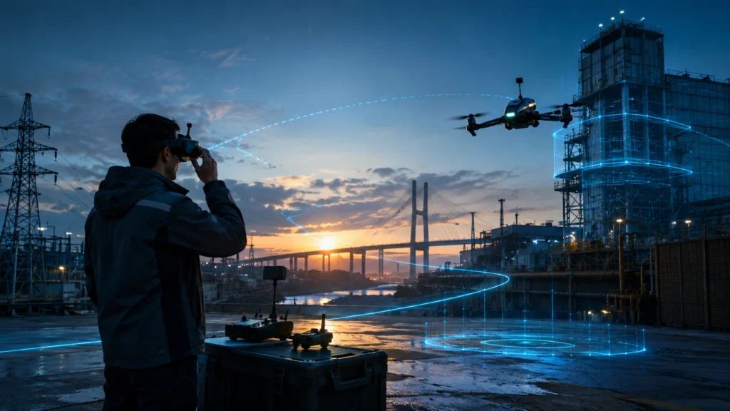
FPV drone training inspection skills are becoming increasingly useful for pilots who want to work in industrial inspection, confined-space documentation, asset monitoring, and complex site data capture. Unlike standard camera drone flying, FPV training helps pilots develop closer control, faster reaction, spatial awareness, and confidence in tight or obstacle-rich environments. Industrial inspection work often involves […]
Drone Pilot Training West Bengal: What the DGCA Syllabus Covers
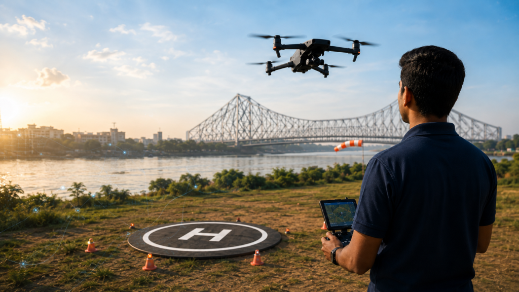
Drone pilot training West Bengal is becoming an important pathway for students, working professionals, entrepreneurs, survey teams, and organisations that want to enter India’s growing drone industry. For professional drone operations, learners need more than basic flying practice. They need structured training in rules, safety, airspace, drone systems, flight planning, emergency handling, and practical flying. […]
DGCA Drone Exam Preparation: Topics, Format, and Tips
DGCA drone exam preparation is an important step for candidates who want to complete professional drone pilot training and build a career in drone operations. The exam tests whether a candidate understands drone regulations, safety procedures, flight operations, weather conditions, airspace awareness, and responsible drone handling. Many beginners focus only on flying practice. However, professional […]
Top Industries Hiring DGCA-Certified Drone Pilots in India
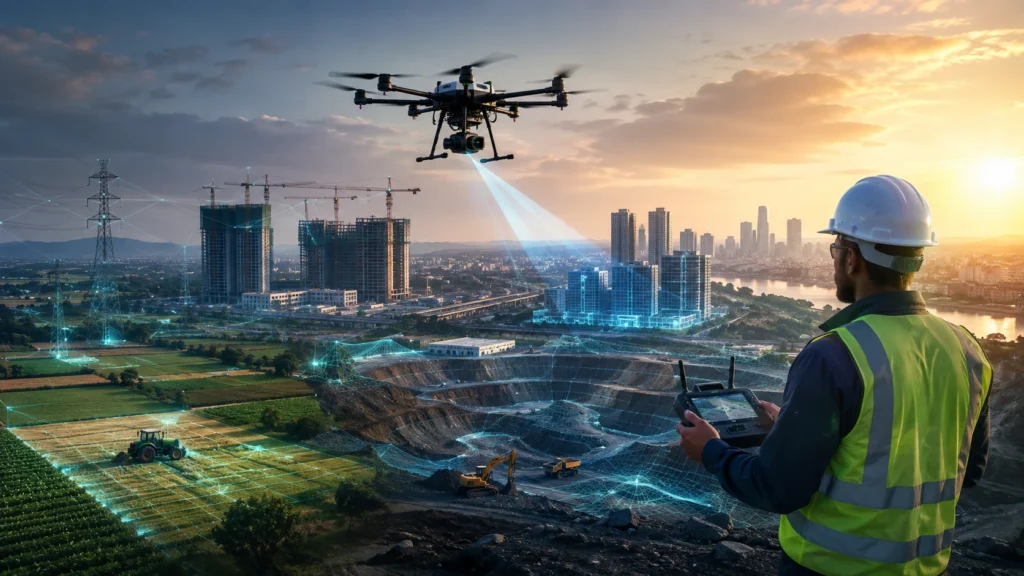
The demand for skilled drone professionals is growing rapidly across multiple sectors in India. Industries hiring drone pilots are no longer limited to photography or entertainment. Today, certified drone pilots are working in surveying, infrastructure, agriculture, mining, utilities, construction, real estate, disaster management, and government projects. A DGCA-certified drone pilot combines flying skills with technical […]
Career in Drone Surveying: How to Start After DGCA Certification
A career in drone surveying can be a strong path for certified drone pilots who want to work in mapping, infrastructure, mining, construction, roads, irrigation, real estate, power utilities, and land-development projects. After DGCA certification, the next step is not only to fly drones better. It is to learn how drone data is captured, processed, […]
What Is an RPTO? Understanding DGCA-Approved Remote Pilot Training Organisations
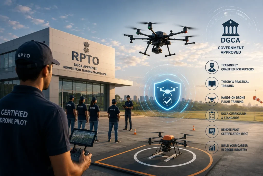
If you are planning to become a certified drone pilot in India, one of the first questions you will ask is: what is an RPTO? An RPTO is a Remote Pilot Training Organisation authorised by the Directorate General of Civil Aviation, or DGCA, to provide remote pilot training for eligible drone pilot candidates. This matters […]
Real Estate Drone Services: How Developers Use Aerial Data for Site Planning

Real estate drone services help developers, builders, architects, consultants, and project managers understand a site before, during, and after development. By capturing aerial images, orthomosaic maps, 3D models, terrain data, access routes, and progress records, drones give real estate teams a clearer view of land and construction activity. For developers in India, site planning is […]