

Drone LiDAR Survey Equipment: What Is Used in a Professional Survey?
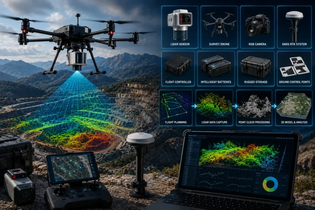
Professional drone LiDAR survey equipment includes much more than a drone and a laser sensor. A reliable LiDAR survey setup uses a UAV platform, LiDAR payload, GNSS receiver, IMU, RTK or PPK positioning workflow, ground control or checkpoints, flight planning tools, processing software, batteries, storage, safety equipment, and trained operators. This matters because LiDAR survey […]
Drone Survey Road Highway: What Government Agencies Need to Know
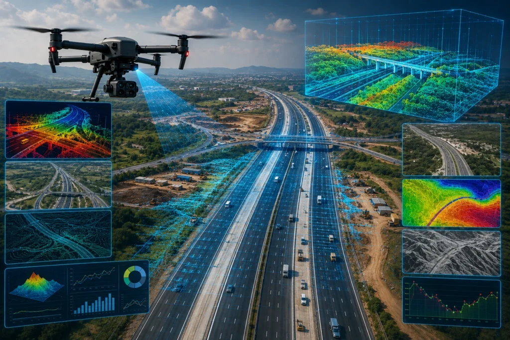
A drone survey road highway workflow helps government agencies, infrastructure departments, contractors, consultants, and project monitoring teams capture accurate aerial data for road planning, construction tracking, asset inspection, and maintenance documentation. Instead of depending only on manual site visits, ground photos, or delayed progress reports, drone surveys provide a clearer view of road and highway […]
Drone Flood Risk Assessment: How Drone Surveys Support Eastern India
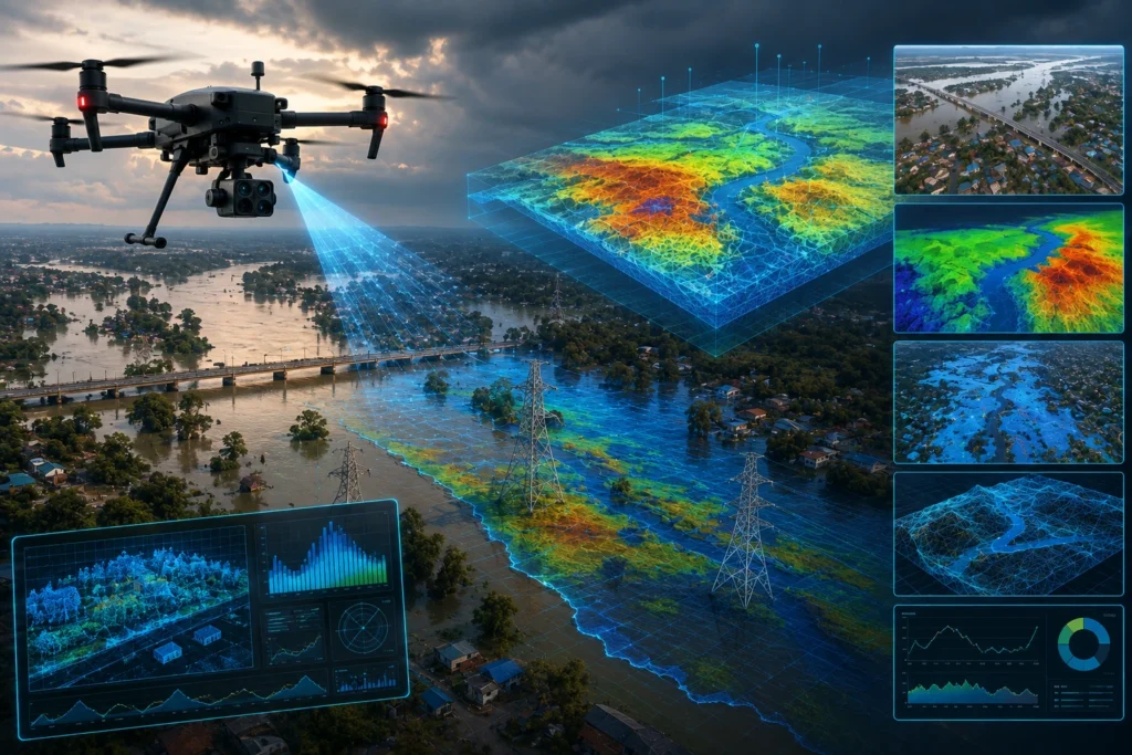
Drone flood risk assessment helps irrigation departments, water resource teams, disaster management authorities, contractors, and infrastructure planners understand flood-prone areas with faster and more detailed aerial data. By using drones for mapping, inspection, terrain documentation, and GIS-ready outputs, teams can see embankments, floodplains, drainage routes, erosion zones, waterlogging areas, and access constraints more clearly. In […]
GIS Drone Survey: Why GIS Is Critical for Drone Survey Data Analysis
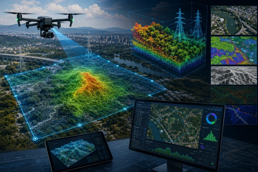
A GIS drone survey turns drone-captured aerial data into useful spatial intelligence. The drone collects images, videos, LiDAR point clouds, thermal data, or terrain information, while GIS helps organise, analyse, visualise, and share that information in a location-based system. Without GIS, drone survey data can remain a folder of images, models, or files. With GIS, […]
Drone Thermography Tower Inspection: Workflow Explained for Electrical Utilities
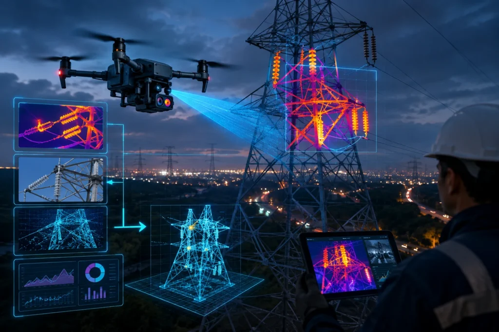
Drone thermography tower inspection helps power utilities, electrical asset owners, infrastructure companies, and maintenance teams detect abnormal heating patterns on transmission towers and related components. By using drone-mounted thermal and RGB cameras, inspection teams can identify hotspots, loose connections, damaged hardware, insulator issues, and other visible risks without depending only on manual climbing or ground […]
LiDAR Urban Planning: How Point Clouds Are Used in Urban Planning Projects

LiDAR Urban Planning: How Point Clouds Are Used in Urban Planning Projects LiDAR urban planning helps city planners, infrastructure teams, consultants, and government agencies understand cities in 3D. By capturing millions of measured points from buildings, roads, terrain, trees, utilities, and public spaces, LiDAR point clouds create a detailed digital view of the urban environment. […]
Drone Solar Panel Inspection: How It Works and Why It Saves Money
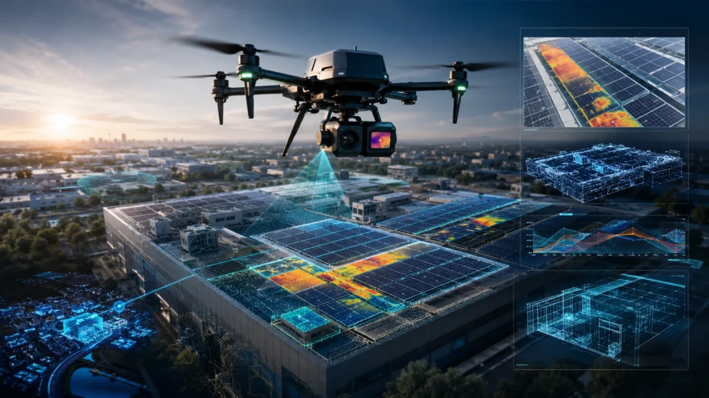
Drone solar panel inspection helps solar plant owners, EPC teams, facility managers, and maintenance contractors identify faults faster, inspect large PV sites safely, and plan repairs with better evidence. By using thermal and RGB cameras, drones can detect heat anomalies, visible damage, soiling patterns, disconnected strings, cracked modules, shading issues, and other signs of performance […]
Real Estate Drone Mapping: How Drones Support 3D Mapping and Site Documentation

Real estate drone mapping helps developers, builders, architects, project managers, and investors understand a property site with better visual and spatial clarity. Instead of relying only on ground photos, manual reports, or static drawings, drones can capture aerial data that supports 3D mapping, progress monitoring, site documentation, and stakeholder communication. For real estate projects in […]
RGB vs Multispectral Drone: Choosing the Right Sensor for Your Project
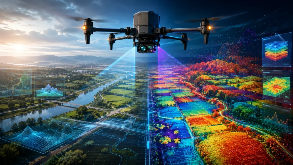
Choosing between an RGB vs multispectral drone sensor depends on what your project needs to see. RGB cameras capture the visible colours that humans can see, making them ideal for visual inspection, mapping, documentation, and progress monitoring. Multispectral cameras capture selected bands beyond normal vision, making them useful for vegetation health, crop stress, water stress, […]
Drone Embankment Flood Mapping: Top 5 Benefits for Water Resource Projects
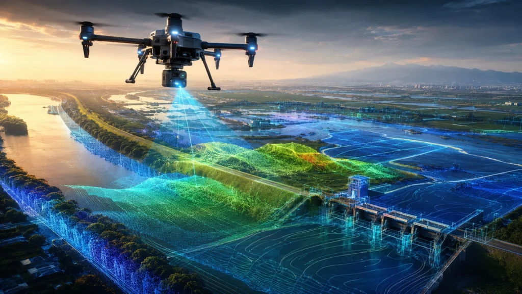
Drone embankment flood mapping helps water resource teams inspect embankments, floodplains, riverbanks, canals, drainage paths, erosion zones, and flood-prone settlements with faster and safer aerial data. Instead of relying only on ground visits, drones provide high-resolution visual and spatial information that can support planning, maintenance, and disaster preparedness. For India, this matters because embankments and […]