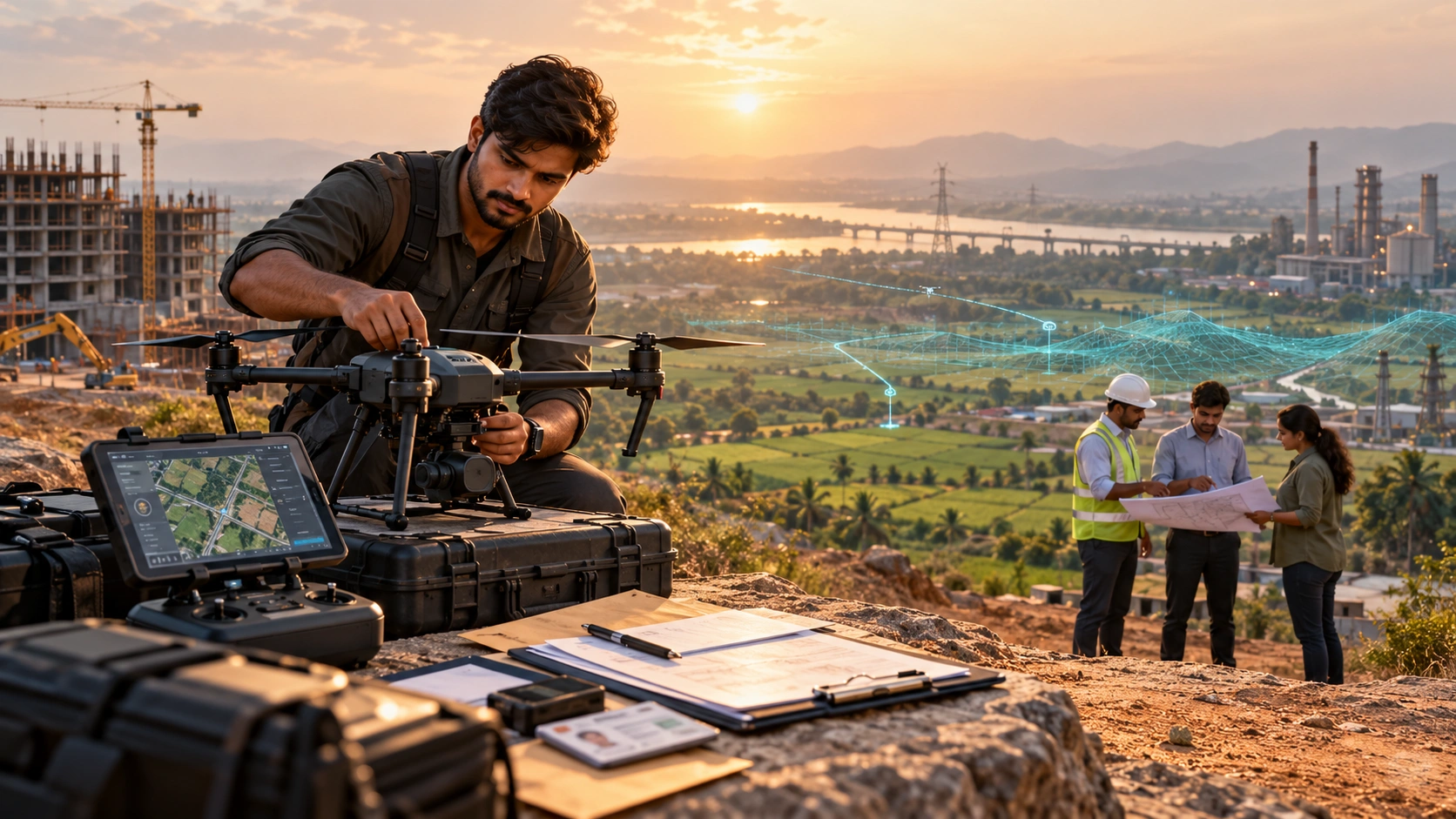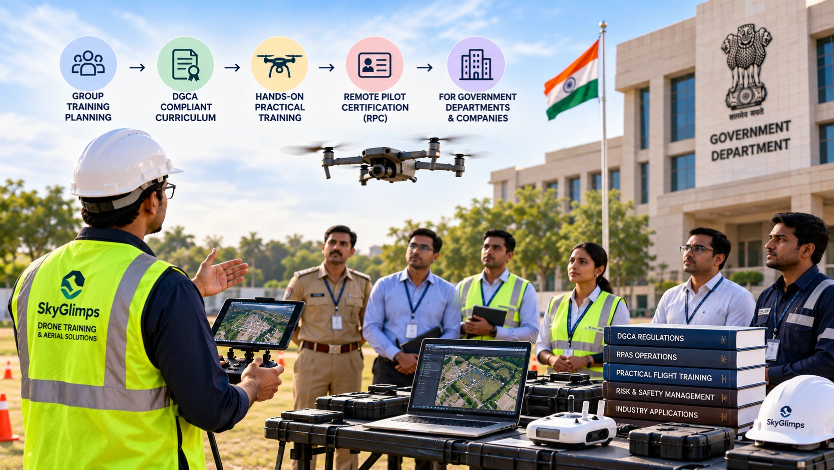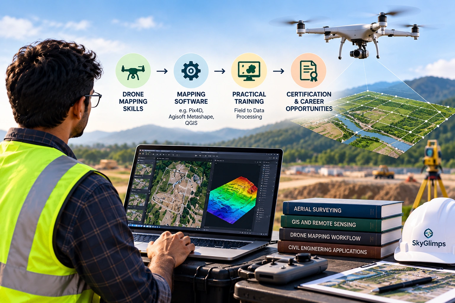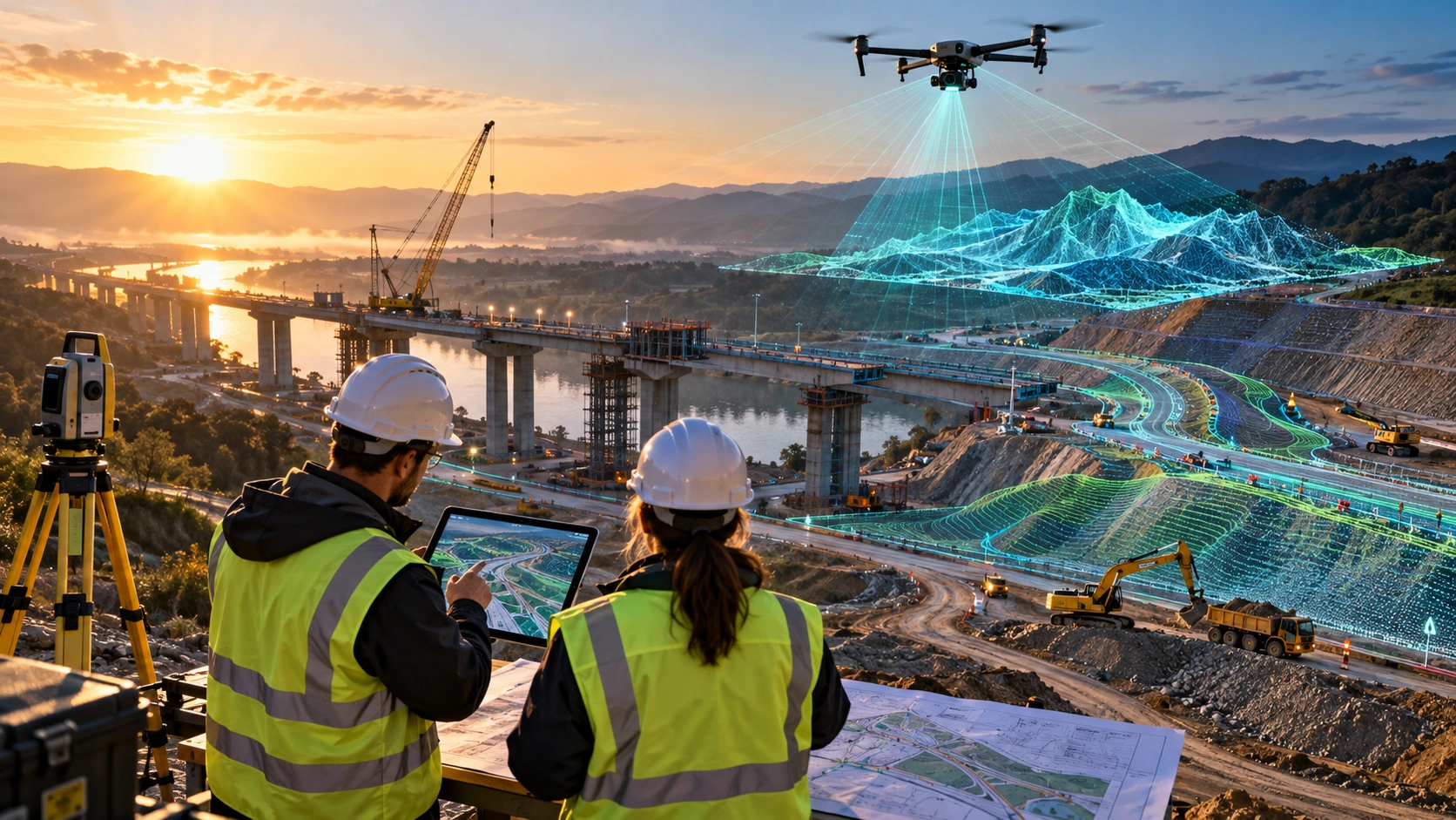
Real estate drone mapping helps developers, builders, architects, project managers, and investors understand a property site with better visual and spatial clarity. Instead of relying only on ground photos, manual reports, or static drawings, drones can capture aerial data that supports 3D mapping, progress monitoring, site documentation, and stakeholder communication.
For real estate projects in India, especially in dense and fast-growing markets like Kolkata, New Town, Rajarhat, Howrah, and other parts of West Bengal, site visibility matters. Developers must manage land parcels, access roads, construction zones, approvals, contractors, progress reporting, and buyer communication. Drone mapping gives them a more complete view of the project from above.
This guide explains how drones are used for real estate 3D mapping and site documentation, what deliverables are possible, and when developers should use LiDAR, photogrammetry, GIS, or recurring drone progress records.
What is real estate drone mapping?
Real estate drone mapping is the use of drones to capture aerial images, videos, and spatial data of a property or construction site. This data can be processed into maps, 3D models, point clouds, site reports, and progress documentation.
A drone mapping project can cover vacant land, under-construction real estate, plotted developments, townships, industrial real estate, warehouses, commercial buildings, residential towers, and large campus-style projects.
Real estate drone mapping can help teams see:
- Site boundary and surrounding context
- Access roads and entry points
- Construction progress
- Excavation and foundation areas
- Built-up structures
- Open spaces and amenities
- Material storage zones
- Nearby infrastructure
- Waterlogging or drainage concerns
- Work completed across different project stages
A normal drone video may be useful for marketing, but drone mapping is more structured. It captures data in a planned way so that the output can support documentation, planning, and decision-making.
How do drones create 3D maps for real estate projects?
Drones create 3D maps by capturing overlapping aerial images or LiDAR data, which are then processed into 3D models, point clouds, elevation data, or digital site representations. The method depends on the project’s accuracy, terrain, and deliverable needs.
Two common methods are photogrammetry and LiDAR.
Photogrammetry uses overlapping images. The drone captures many photos from different angles, and software identifies common points between those images to create orthomosaics, 3D models, and surface outputs.
LiDAR uses laser pulses. A drone-mounted LiDAR sensor measures distances and creates dense 3D point cloud data. This is useful when the project needs better 3D geometry, terrain understanding, elevation data, or vegetation-aware mapping.
A typical real estate 3D mapping workflow includes:
- Site boundary review
- Flight planning
- Airspace and safety checks
- Drone data capture
- Ground reference planning where required
- Photogrammetry or LiDAR processing
- 3D model or point cloud generation
- Map and report creation
- Data handover in agreed formats
- Repeat capture for progress comparison
For projects that need advanced 3D datasets, Skyglimps Technologies LLP provides 3D LiDAR & GIS Solutions for real estate, infrastructure, and spatial planning workflows.
Why is drone mapping useful for real estate developers?
Drone mapping is useful for real estate developers because it gives a clear, current, and shareable view of the project site. It helps teams track progress, review site conditions, communicate with stakeholders, and create better documentation across the project lifecycle.
Real estate projects involve many stakeholders: developers, architects, engineers, contractors, investors, sales teams, approval consultants, buyers, and operations teams. Each group needs a different level of site information.
Drone mapping helps developers by supporting:
- Land assessment before development
- Construction progress tracking
- Contractor work review
- Investor and management reporting
- Buyer-facing visual updates
- Site safety and access planning
- Drainage and terrain understanding
- Project milestone documentation
- Marketing and presentation material
- Handover and asset records
The biggest benefit is visibility. A developer can review the entire site instead of depending only on selective ground images. This is especially useful for large real estate sites, plotted developments, integrated townships, warehouses, and commercial parks.
What real estate projects benefit most from drone mapping?
Real estate drone mapping is most useful for large, active, multi-phase, or visually complex projects where site progress and spatial context matter. It is especially valuable when project teams need regular updates or stakeholder-ready documentation.
High-fit real estate project types include:
| Project type | How drone mapping helps |
|---|---|
| Residential towers | Tracks construction progress and site activity |
| Plotted developments | Shows roads, plots, boundaries, and amenities |
| Townships | Captures large-area site context and phased development |
| Warehouses | Documents land grading, structure progress, and access roads |
| Commercial complexes | Supports progress reports and stakeholder updates |
| Industrial real estate | Maps large sites, utilities, roads, and work zones |
| Premium villas | Creates visual documentation and buyer-facing assets |
| Redevelopment sites | Tracks demolition, clearance, and construction stages |
| Land banks | Supports site overview and planning discussions |
In Kolkata and Eastern India, drone mapping can be useful for real estate projects in urban growth zones, suburban expansion areas, industrial corridors, logistics parks, and large land parcels where on-ground visibility is limited.
How does drone mapping improve construction progress documentation?
Drone mapping improves construction progress documentation by creating dated aerial records that can be compared across different project stages. This helps developers identify delays, verify work, and create a reliable visual history of the site.
Traditional progress reports often include ground photographs, engineer notes, and milestone updates. These are useful, but they may not show the full project. Drone data can show the entire site layout, completed work, pending areas, access routes, material zones, and visible constraints.
Drone progress documentation can help track:
- Excavation progress
- Foundation work
- Structural development
- Road construction
- Drainage work
- Boundary wall progress
- Landscaping stages
- Amenity development
- Material storage changes
- Site access and circulation
- Workfront availability
For recurring project updates, drone-based documentation and progress tracking can support milestone records, management reports, and before-after visual comparisons.
When captured consistently, drone data gives developers a practical timeline of how the project evolved. This is useful for internal review, contractor coordination, investor communication, and buyer confidence.
How do 3D models help real estate planning and communication?
3D models help real estate teams understand the site in a more realistic and spatial way than flat drawings or isolated photographs. They can support planning, review meetings, buyer communication, design discussions, and construction coordination.
A 3D model can help teams visualise:
- Existing site levels
- Building placement
- Internal roads
- Open spaces
- Nearby structures
- Terrain conditions
- Construction progress
- Amenity locations
- Access routes
- Site constraints
For developers, 3D mapping is especially useful when explaining the project to non-technical stakeholders. Investors, buyers, and management teams may not understand survey drawings, but they can understand a 3D site model or drone-based progress view quickly.
A 3D model can also help project teams compare design intent with visible site reality. If a road, structure, or open area is not progressing as expected, the visual model can make the issue easier to discuss.
For advanced construction and planning workflows, 3D models can also be combined with BIM, GIS layers, and digital twin-ready outputs.
What deliverables can developers expect from real estate drone mapping?
Developers can expect deliverables such as aerial images, drone videos, orthomosaic maps, 3D models, point clouds, elevation models, progress reports, and GIS-ready files depending on the project scope. The deliverables should be clearly defined before the flight.
Common real estate drone mapping deliverables include:
| Deliverable | Best use |
| Aerial images | Visual site documentation |
| Drone videos | Marketing and stakeholder updates |
| Orthomosaic map | Accurate top-down site overview |
| 3D textured model | Visual planning and presentation |
| Point cloud | Technical 3D site analysis |
| DEM / DSM | Terrain and surface modelling |
| Contour map | Elevation and grading review |
| Progress report | Stage-wise construction documentation |
| GIS layers | Planning and spatial data management |
| Before-after comparison | Milestone and contractor review |
Not every project needs every output. A marketing-focused real estate project may need strong visuals and videos. A construction-management project may need orthomosaics, progress reports, and repeated capture. A large township or industrial real estate project may need LiDAR, GIS layers, and 3D spatial data.
Before starting the survey, developers should define who will use the data: management, sales, engineering, design, approval consultants, investors, or buyers. The answer decides the right output format.
Can drone mapping support buyer and investor communication?
Yes, drone mapping can support buyer and investor communication by showing transparent, dated, and visually clear progress updates. Aerial documentation can make project progress easier to understand than text-only updates or selective site photos.
For real estate buyers, project visibility creates confidence. For investors, visual records support better review of timelines, progress, and site conditions.
Drone content can be used for:
- Monthly progress updates
- Investor presentations
- Website project galleries
- Sales office displays
- Buyer communication
- Social media project updates
- Construction milestone announcements
- Internal management reporting
However, buyer-facing content should be used responsibly. Developers should avoid over-editing progress visuals or presenting conceptual models as actual site data. Drone documentation is strongest when it is clear, dated, and honest.
For premium real estate projects, drone mapping can also support better storytelling by showing project scale, surrounding infrastructure, open areas, access roads, and development progress.
How does drone mapping help with land assessment and due diligence?
Drone mapping helps land assessment by giving teams a current aerial view of the site boundary, access, terrain, encroachment, drainage, nearby development, and visible constraints. It supports early-stage planning before deeper technical and legal checks.
Before buying, developing, or planning a real estate site, teams need to understand ground reality. A drone survey can help identify visible site factors that may not be obvious from documents alone.
Drone mapping can support review of:
- Site access roads
- Surrounding land use
- Water bodies or drains
- Vegetation and open areas
- Existing structures
- Terrain variation
- Encroachment indicators
- Boundary visibility
- Nearby infrastructure
- Construction constraints
- Low-lying or waterlogged sections
Drone mapping does not replace legal title checks, cadastral surveys, soil tests, or engineering due diligence. It adds a powerful visual layer that helps teams understand the site before investing more time and money.
For land development and urban planning contexts, drone data can also support urban planning and smart city projects where spatial visibility is important.
How should developers plan a real estate drone mapping project?
Developers should plan a real estate drone mapping project by defining the site boundary, purpose, deliverables, accuracy needs, repeat frequency, reporting format, and permissions before the flight. A clear scope prevents unusable outputs and avoids rework.
Before starting, ask:
- What is the site location and boundary?
- Is the purpose marketing, mapping, monitoring, or technical planning?
- Is 2D mapping enough, or is 3D data required?
- Are LiDAR, photogrammetry, or GIS outputs needed?
- How often should the site be captured?
- Who will use the final deliverables?
- What file formats are needed?
- Is the site near controlled airspace?
- Are there safety restrictions on-site?
- Is buyer-facing content required?
A simple aerial shoot and a professional drone mapping project are different. If the project needs measurable outputs, the flight must be planned accordingly. If the project needs only marketing visuals, the capture plan can focus more on composition and presentation.
The best results come when the drone team understands the project objective before flying.
Why choose Skyglimps Technologies for real estate drone mapping?
Skyglimps Technologies LLP is a Kolkata-based drone services company and DGCA-certified Remote Pilot Training Organisation serving government and enterprise clients across Eastern India. The company supports drone-enabled workflows across LiDAR, GIS, mapping, inspections, surveillance, documentation, and training.
Skyglimps Technologies, a DGCA-certified RPTO in Kolkata, is positioned for developers, builders, consultants, and project teams that need structured aerial data for real estate and construction site visibility. For projects in Kolkata, New Town, West Bengal, and Eastern India, local coordination can help improve site scoping, repeat monitoring, and reporting workflows.
Real estate drone mapping works best when the service partner understands both visual presentation and technical deliverables. A good partner should help define whether the project needs aerial visuals, orthomosaics, 3D models, LiDAR point clouds, GIS layers, or recurring progress documentation.
FAQ: Real Estate Drone Mapping
Real estate drone mapping uses drones to capture aerial images, videos, and spatial data of property sites. The data can be processed into maps, 3D models, progress reports, and documentation.
Drone photography captures visuals. Drone mapping follows a planned data-capture workflow to create outputs such as orthomosaic maps, 3D models, elevation data, point clouds, or reports.
Yes. Drones can create 3D models using photogrammetry or LiDAR data. These models help developers review site progress, terrain, structures, and project context.
Yes. Drone mapping creates dated visual records that help developers compare site progress across weeks or months and improve reporting to management, buyers, and investors.
Yes. Aerial images, videos, and 3D visuals can support project presentations, buyer updates, social media, website content, and investor communication when used responsibly.
No. Drone mapping supports visual and spatial understanding, but it does not replace legal title checks, cadastral surveys, soil testing, or statutory due diligence.
Deliverables may include aerial images, drone videos, orthomosaic maps, 3D models, point clouds, contour maps, elevation models, GIS layers, and progress reports.
Build better project visibility with real estate drone mapping
Real estate drone mapping helps developers, builders, and project teams see a property site more clearly. It supports 3D mapping, construction documentation, progress tracking, land assessment, stakeholder reporting, and buyer communication.
For real estate projects in Kolkata, West Bengal, and Eastern India, drone-based 3D mapping can improve how teams understand and present site progress. It helps bridge the gap between ground reality, project planning, and stakeholder expectations.
If your real estate project needs 3D site mapping, LiDAR point clouds, GIS-ready outputs, construction progress records, or aerial documentation, connect with Skyglimps Technologies LLP through the 3D LiDAR & GIS Solutions service page and share your site location, project stage, and required deliverables.